The walk was in total roughly 25.5km and took 7h20min. This means that my average speed was roughly 3.48km/h. The main reason for this slow speed was that there are several places where the trail really needs maintenance (just as was the case with Hallandsleden Walk #11 between Brännögården and Rydöbruk) and because of that I got a bit lost at some places. I was actually aiming to take arrive in time for the bus one hour earlier but in the end I needed to hurry (run a bit) to make it on time for the bus I ended up taking. Once I arrived at the walking destination I was not only very sweaty but I actually also felt sick (stomach ache and head ache). The feeling on sickness passed first when I came back home and ate some food. I think the sickness was caused by that I barely had time to stop for a break during the walk and thus didn't eat enough.
Other than the flawed parts it was pretty much an average Hallandsleden walk in terms of character and in the sense that most of the walk takes place on gravel roads and tractor roads. The walk went mostly forests but there were some farm land regions also. There were of course some interesting places but the overall impression got weighed down by the flaws. One serious flaw was that at one place where the trail was going through there might actually have been a giant hogweed. I'm still not sure if it was a giant hogweed or not because I was a bit shocked to suddenly see one (or something similar) and just wanted to get past that place as quickly as possible (without taking any photo). As I've mentioned previously, the issue with giant hogweed is that their leaves, their sap and even their seeds can give severe burn injuries. Nevertheless I hope you enjoy the photos, which mostly show the good but also the bad and the ugly.
1.
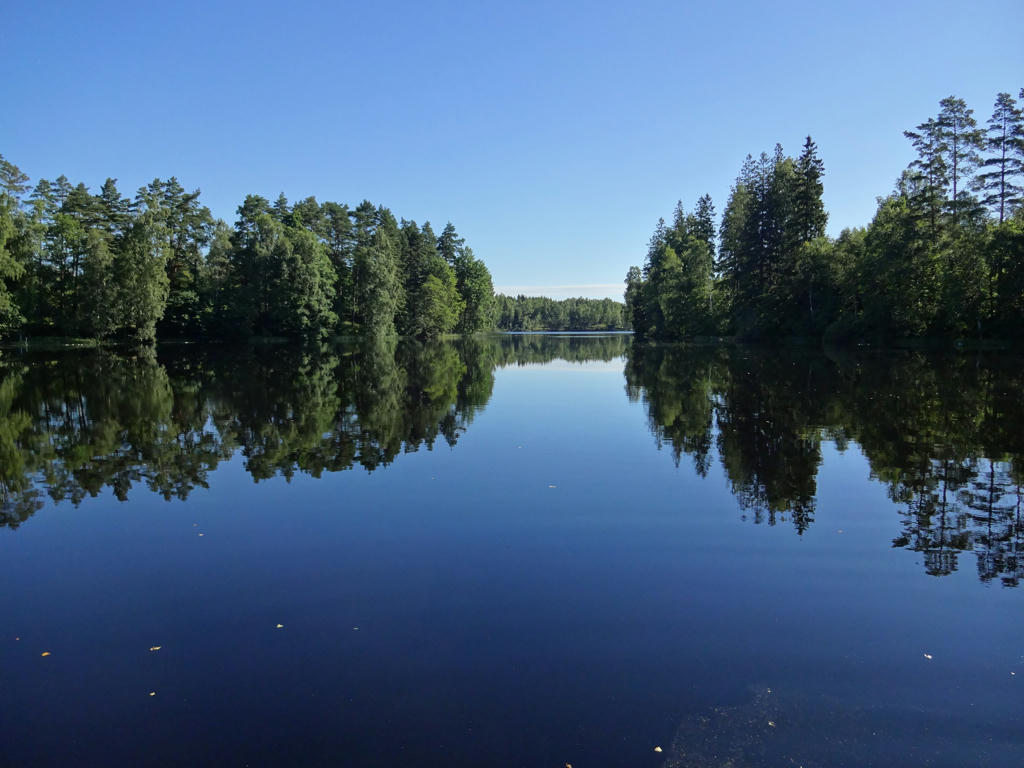
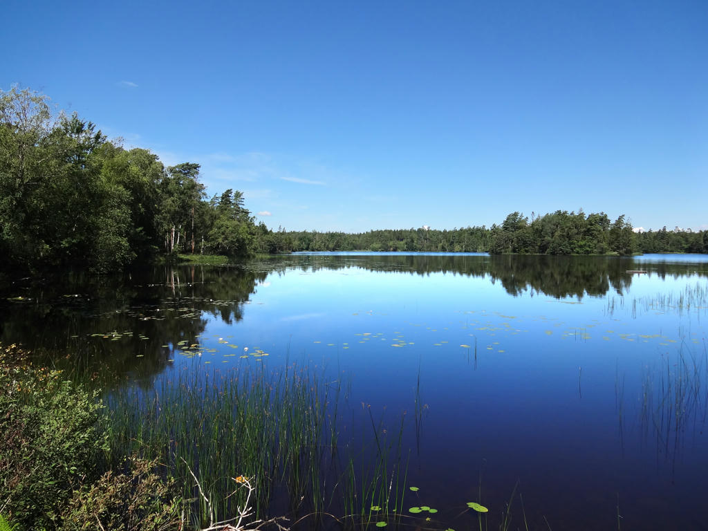
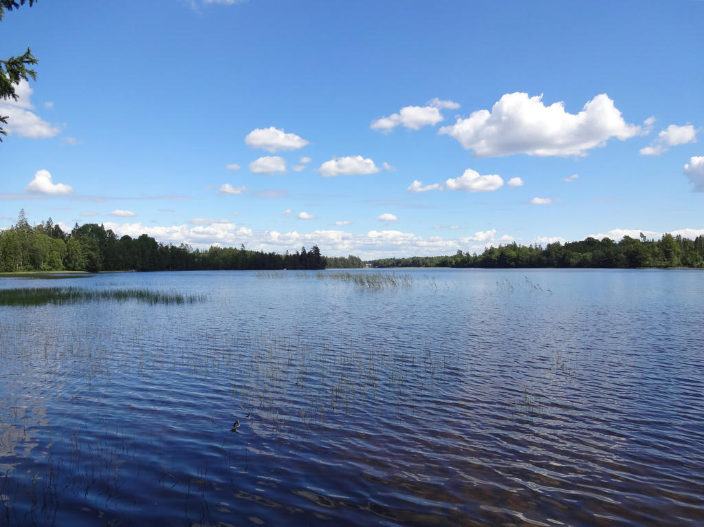
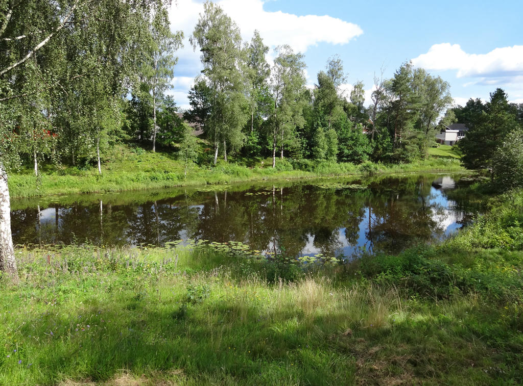
Eseredssjön
2.
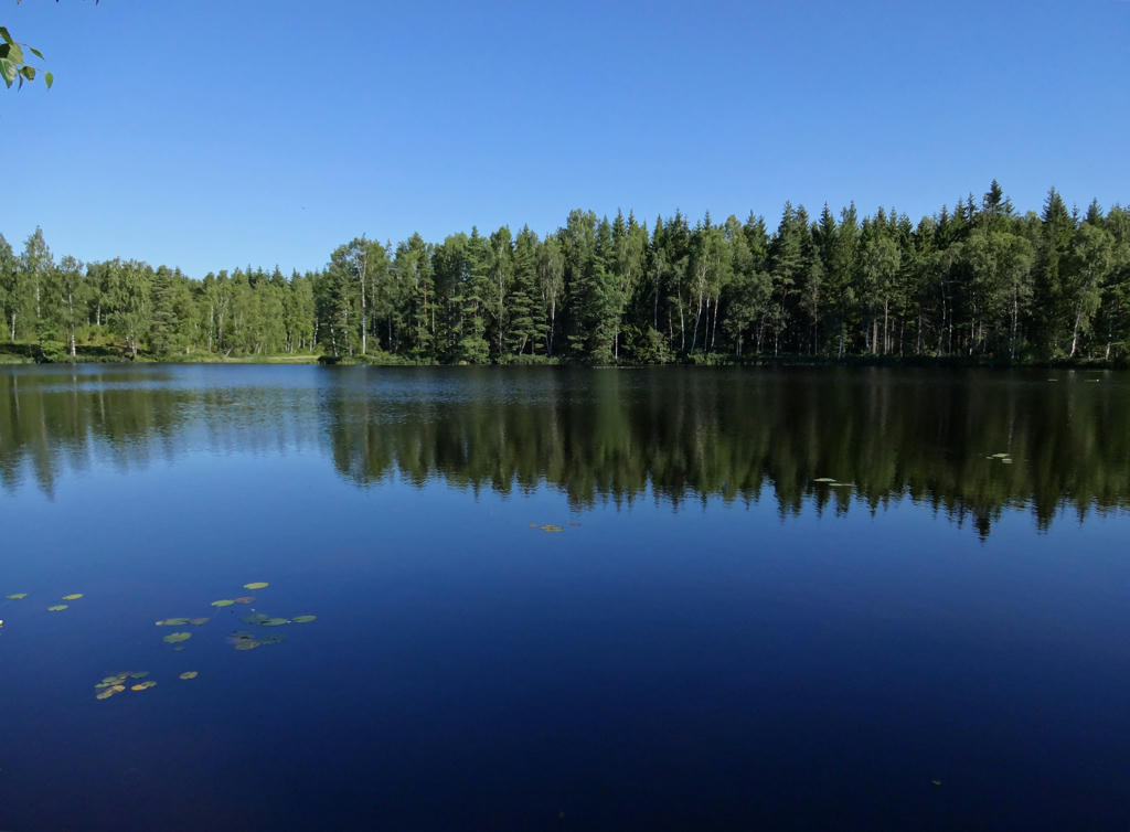
Eseredssjön. Rotated and cropped the photo.
3.
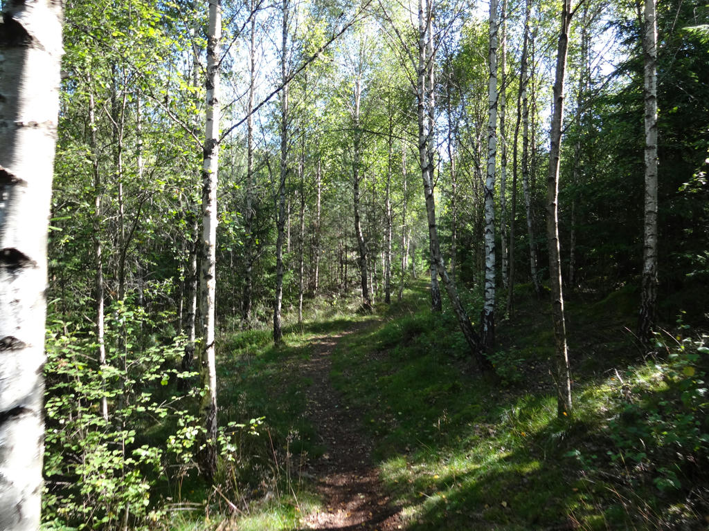
4.
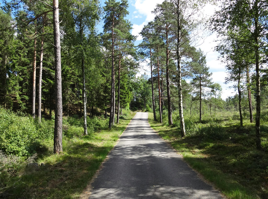
The first place where the trail is in bad shape is shortly after passing national highway 153.
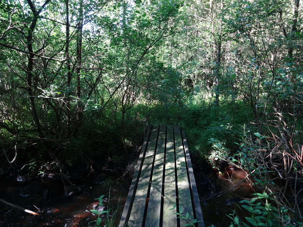
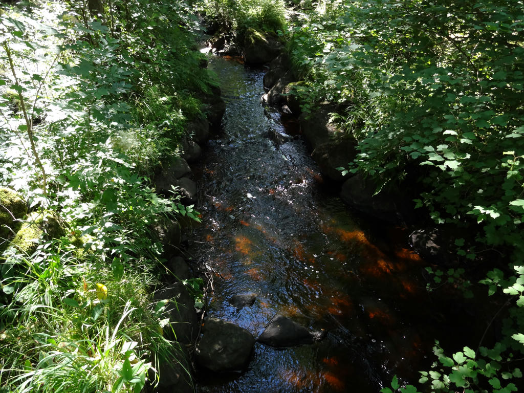
5.

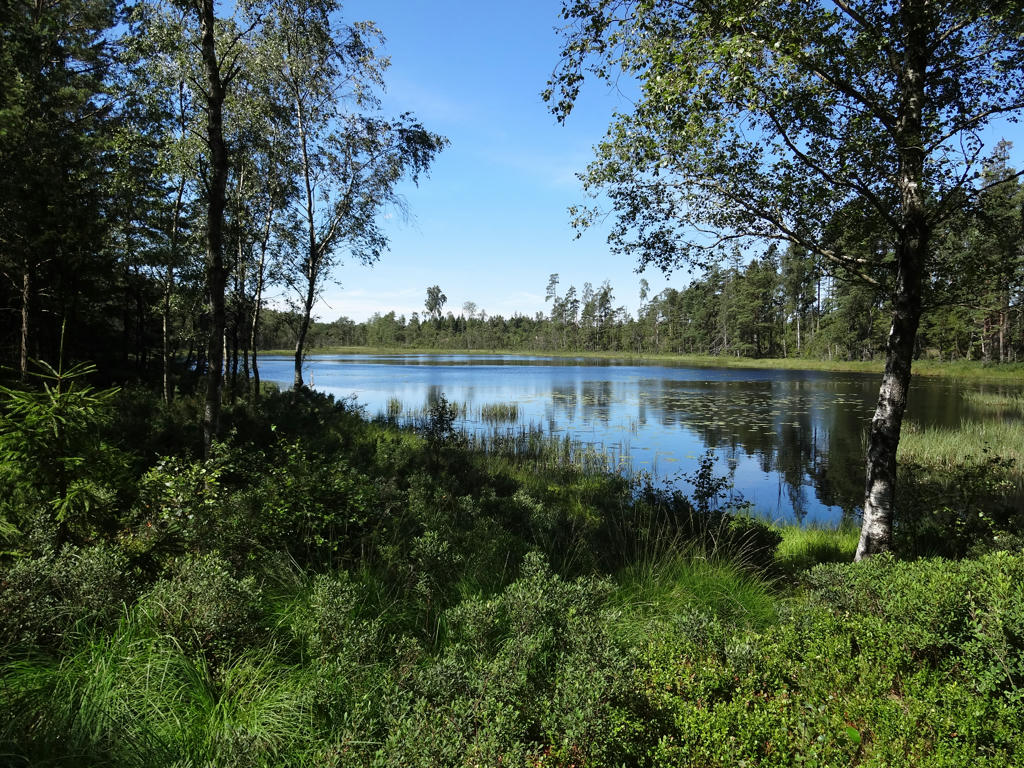
6.
Holmsjön. Increased the brightness for the non-sky parts using the levels tool.
7.
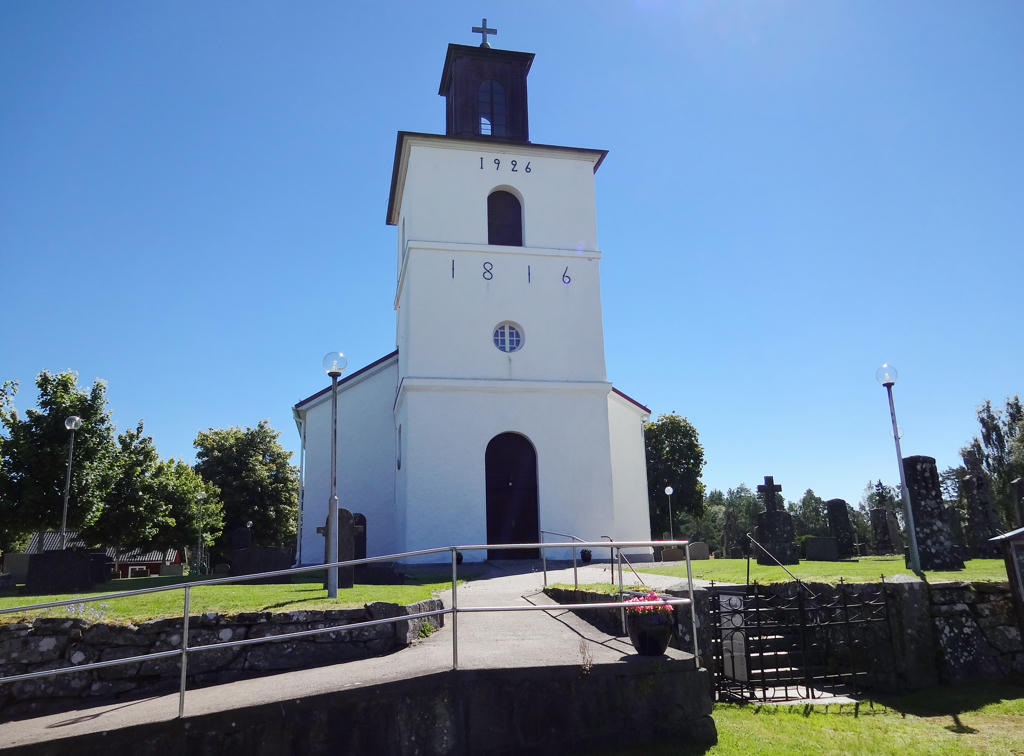
Krogsered Kyrka. Rotated and cropped the photo. Then I increased the brightness for the non-sky parts using the curves tool.
8.
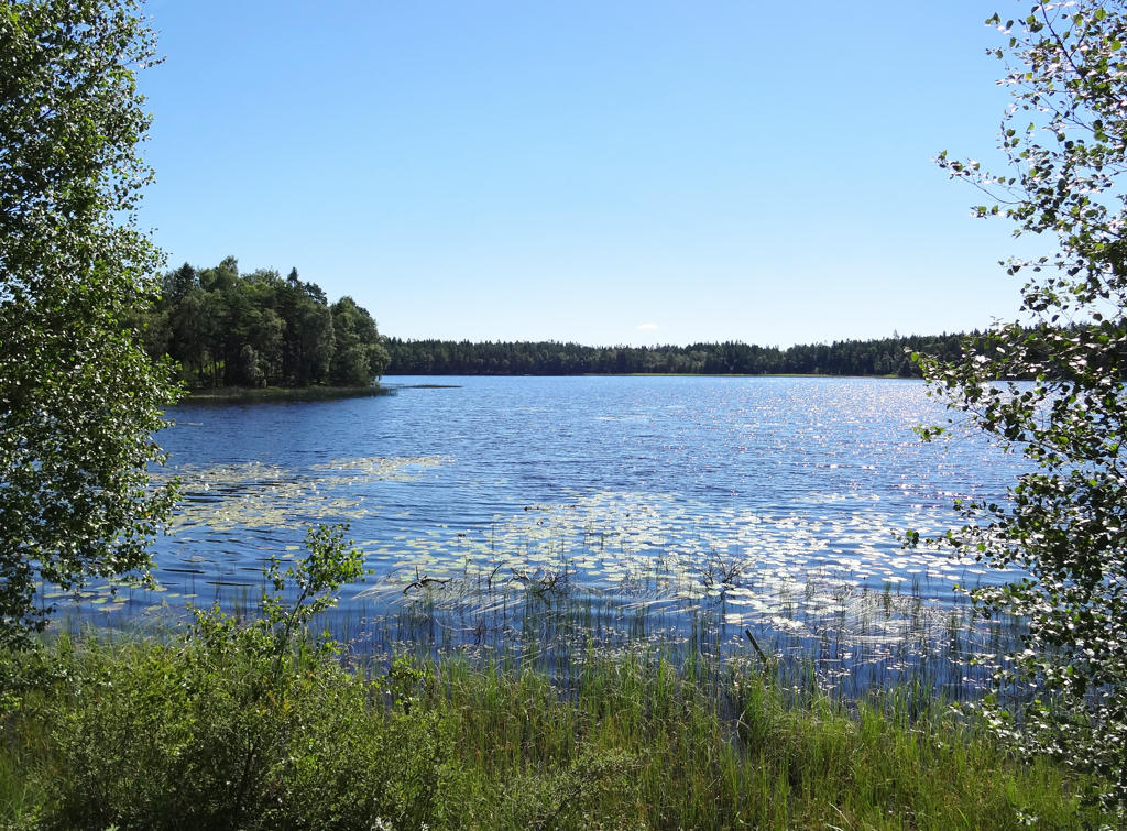
Lyngsjön. Rotated and cropped the photo. Then I used the hue restorer plug-in to get rid of a cyan-ish part of the sky. Finally for the non-sky part I increased the brightness and adjusted the gamma using the levels tool.
9.
"Brännvinsgölen
("The Schanapps pool")
Brännvinsgölen is said to have got its name because the priest used to stop by the pool or mere for a dram on his journey between the churches in Drängsered and Krogsered. A different legend says that a farmer tipped over a whole barrel of schanpps, which ran out and formed the pool. This is the border between the municipalities of Falkenberg and Hylte. It is also the county border between Halland and Småland."
Used the hue-restorer plug-in to get rid of the cyan-ish part of the sky.
10.
11.
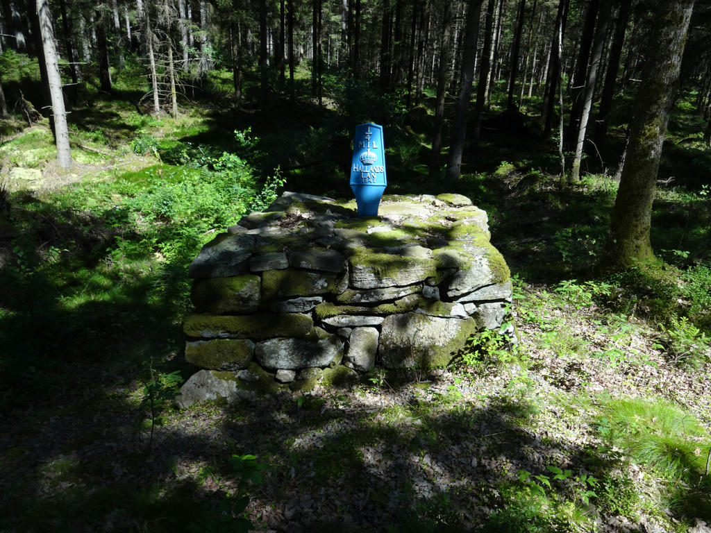
An old milestone.
12.
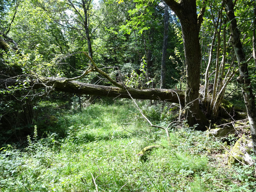
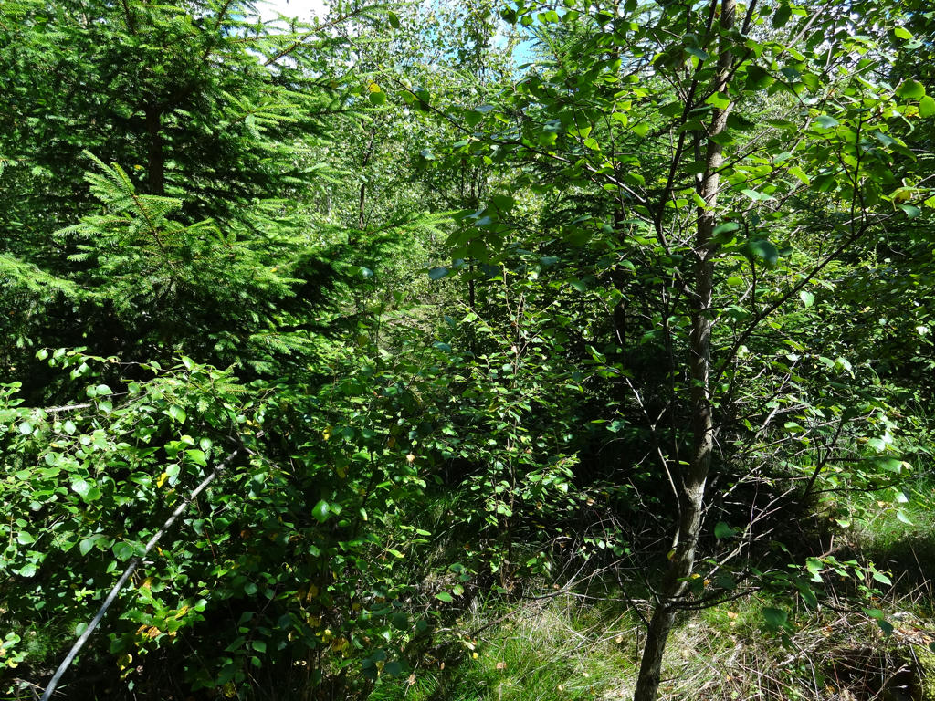
Near Askhult there's another spot where the trail needs maintenance. I couldn't really find where the trail was supposed to be going so I went around and got greeted by an overgrown trail. It's a tractor road but it hasn't been maintained in years.
13.
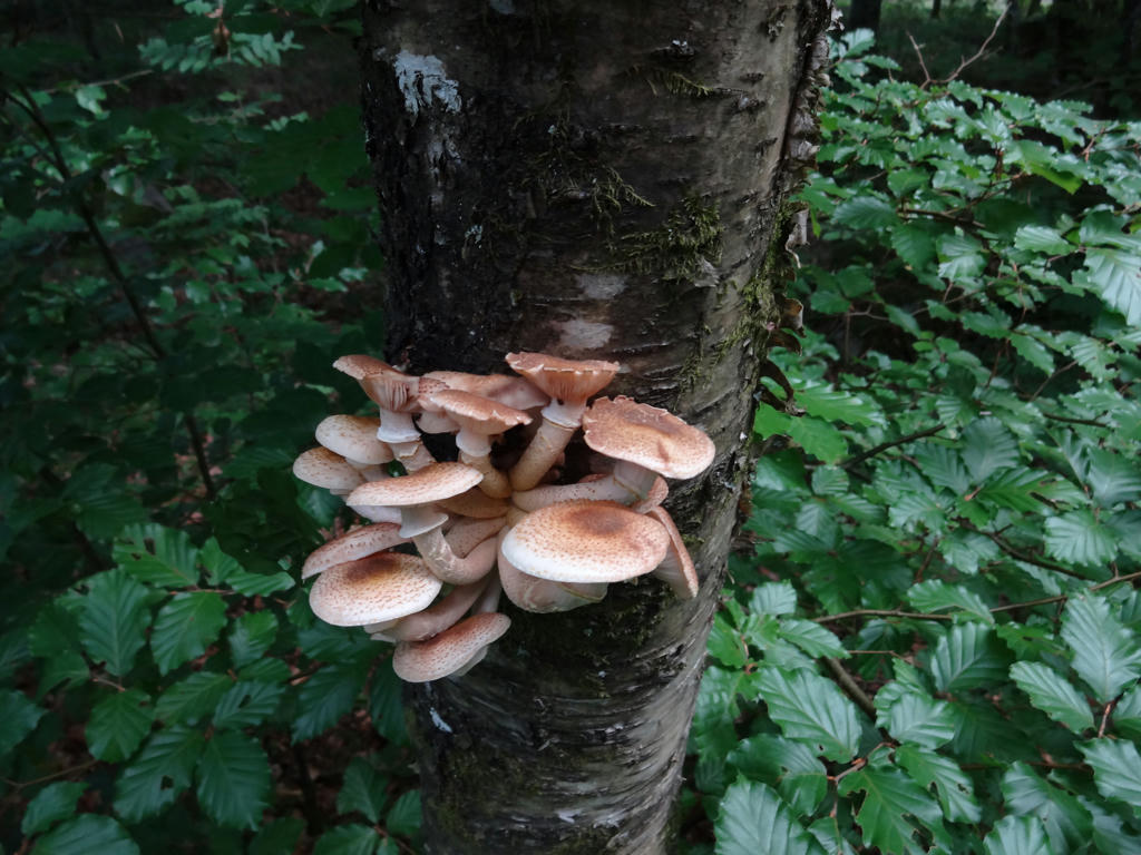
A few of the mushrooms growing a tree. It was probably the first time I saw mushrooms other than polypores growing on a tree.
14.
Shortly before Långesjön there was a very poorly maintained path. Not only were there no signs (probably due to the signs falling off/breaking over time) but the whole path was blocked by planted trees. So instead of going through that part of the trail in a few minutes it probably took up to twenty minutes.
15.
Långesjön. After reaching Långesjön there was a part of the trail where I couldn't find any signs and couldn't find the path so I had to go around. Probably took me at least 10 minutes before I decided to give up on finding the signs and just went around instead. Rotated the photo slightly and cropped it.
16.
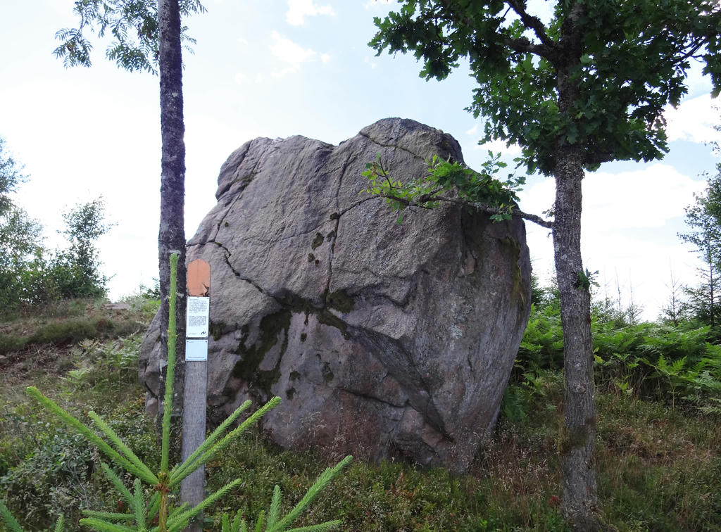
"Bockasten ("The Goat stone")
There is a large erratic block of stone in the woods here. The stone was transported here by the inland ice. According to the legend, a giant who lived on Toraredsberget hurled the rock at Drängsered church to try to silence the bell, but he missed. They say there's even a giant's handprint on the block."
Removed the cyan-ish sky using the hue restorer. Then I increased the brightness for the non-sky parts using the levels tool. Finally I rotated and cropped the photo.
17.
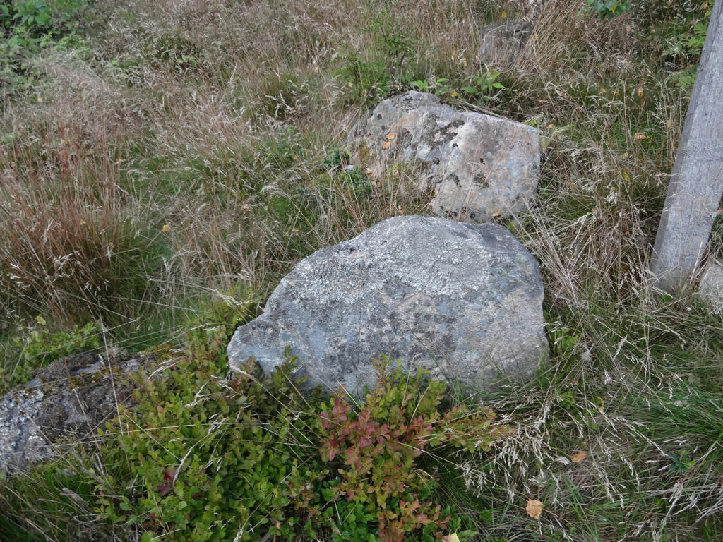
"Road maintenance stones
All old road maintenance stones like this one are proof that you are now walking on an old highway, which Hallandsleden follows here. The stones are placed by the roadside and have inscription with signatures and/or numbers. These indicate which person in the village was responsible for a particular stretch of road. You can even see the bases of old mile stones by the side of the road."
All old road maintenance stones like this one are proof that you are now walking on an old highway, which Hallandsleden follows here. The stones are placed by the roadside and have inscription with signatures and/or numbers. These indicate which person in the village was responsible for a particular stretch of road. You can even see the bases of old mile stones by the side of the road."
18.
Shortly after Björsjö. Used the hue restorer plug-in to get rid of the cyan-ish sky. Then I rotated and cropped the photo.
19.
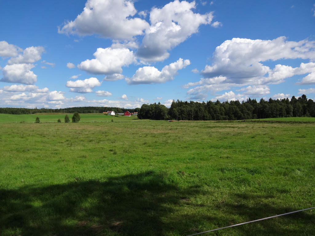
Landscape view close to Maås. Speaking of Maås I went the wrong way around here since I did not see the signs for where I was supposed to go, thus I lost at least 5 to 10 minutes.
20.
Back to Brännögård. Rotated and cropped the photo. Then I used to hue-restorer tool to remove the cyan-ish sky.
Inga kommentarer:
Skicka en kommentar