Despite being just 9km this walk actually one of the worst walks. This part of Hallandsleden is in big need of maintenance. Overall the parts of Hallandsleden (and Gislavedsleden for that matter) going through Hylte municipality are in bad shape. Either way, there were nice parts and there were ugly parts. Enjoy the photos!
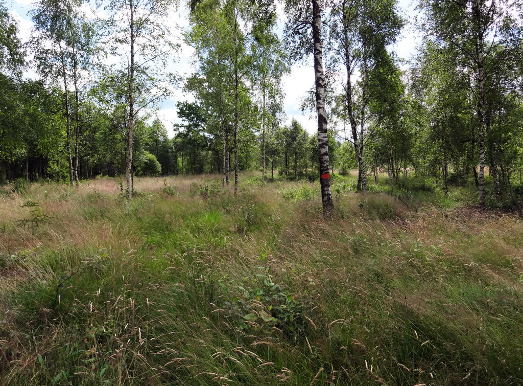
1.
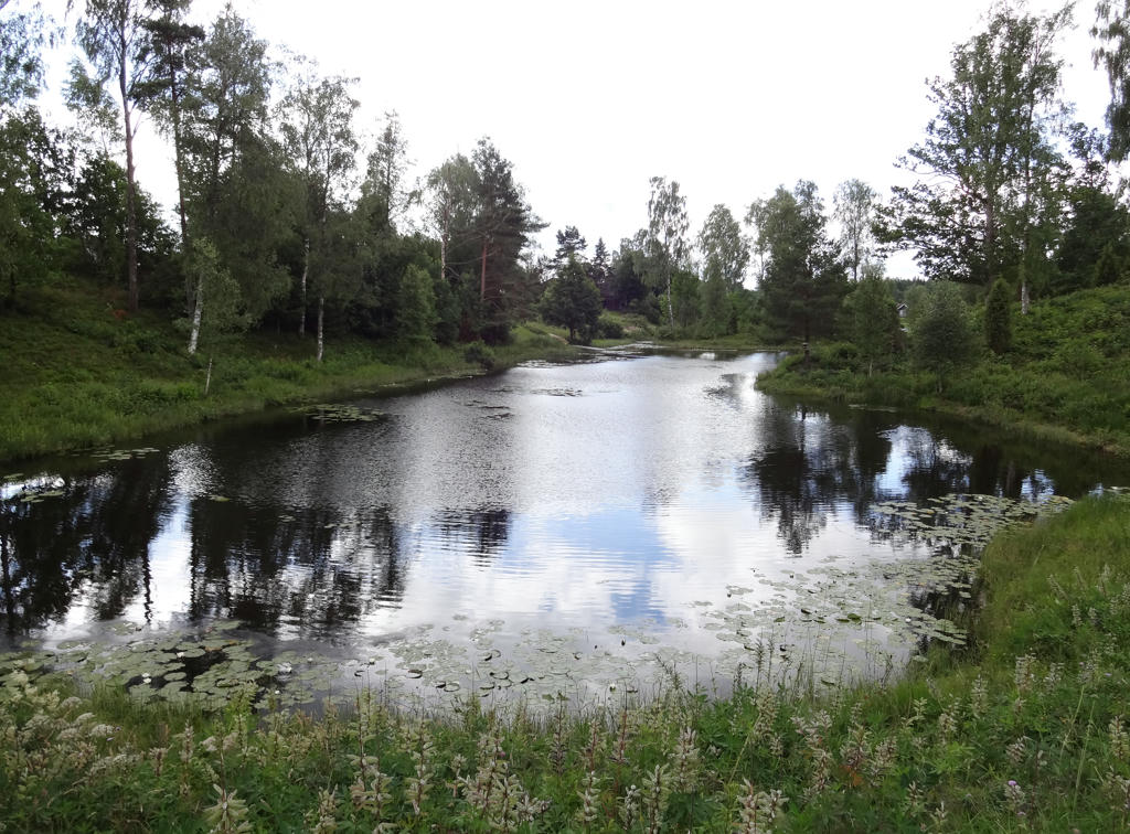
A small lake in Brännögård. Rotated and cropped the photo. Then I increased the brightness using the curves tool.
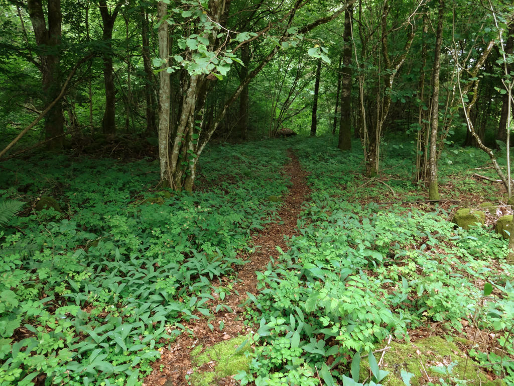
2.
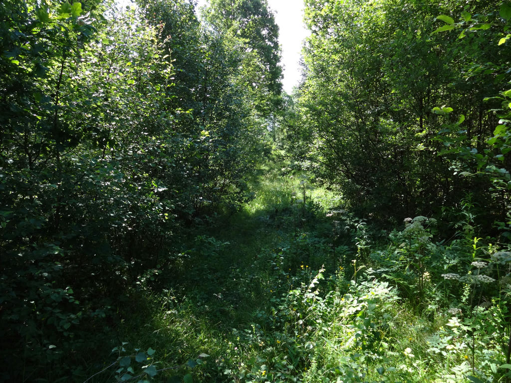
Already shortly after the walk started the lack of maintenance of the trail was becoming clear. As shown on the photo there are some common hogweed here. While common hogweed are far less dangerous than giant hogweed, there's a rare chance that a common hogweed can give as severe burn injuries as giant hogweed. Either way it's best not to wear shorts (and instead wear longer pants) (that goes for walks in general since it also reduces the chances of getting ticks also) and to avoid touching common hogweed.
3.
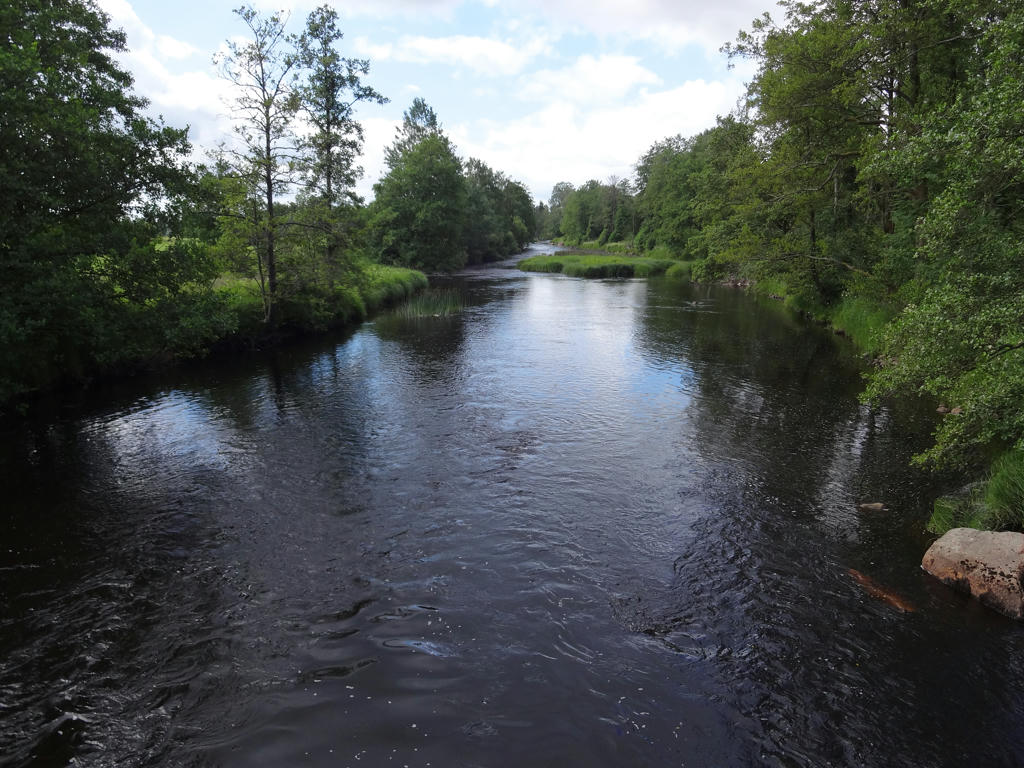
Kilan. Used the hue restorer plug-in to get rid of the cyan colored sky.
4.
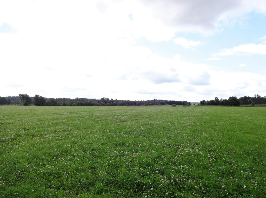
First I rotated and cropped the image. Then I used the hue restorer plug-in to get rid of the cyan colored sky and then I increased the brightness (using curves tool) and contrast for the non-sky parts.
5.
Rotated and cropped the image. Also equalized the histogram for the non-sky parts.
6.
Used the curves tool in GIMP to reduce the effect of the blue channel.
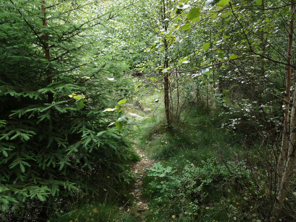
7.
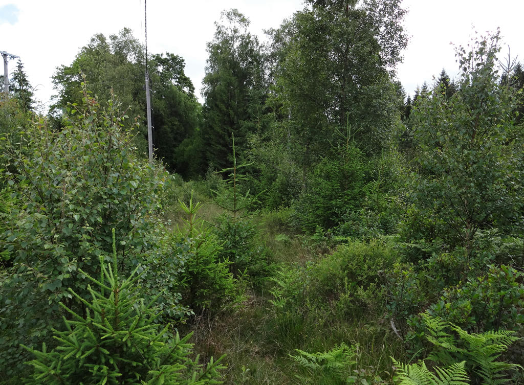
Shortly before Mårenäs. This is another part of the trail that was hard to go through. In fact I went around, the "correct path" was completely blocked as shown in the next photo. Rotated and cropped the photo. Then I used the hue restorer plug-in to get a better sky color. Finally I equalized the histogram for the non-sky parts.
8.
9.
Decreased the effect of the blue channel using the curves tool to get rid of the blue cast. The result became a bit too green so I reduced the green channel also.
10.
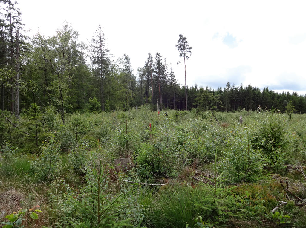
Shortly before national highway 26. Clearly this part of the trail was in bad shape and there was also trash lying around here (since it's close to the national highway people throw trash here sometimes). Rotated and cropped the photo. Used the hue restorer plug-in to remove the cyan colored sky.
11.
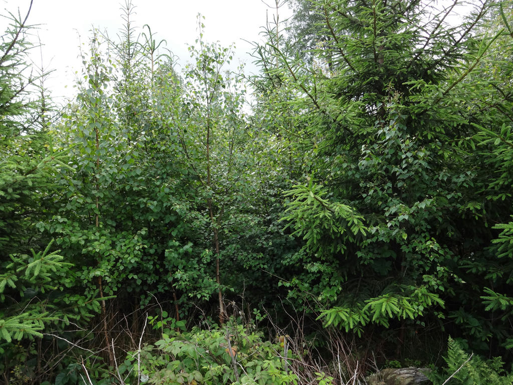
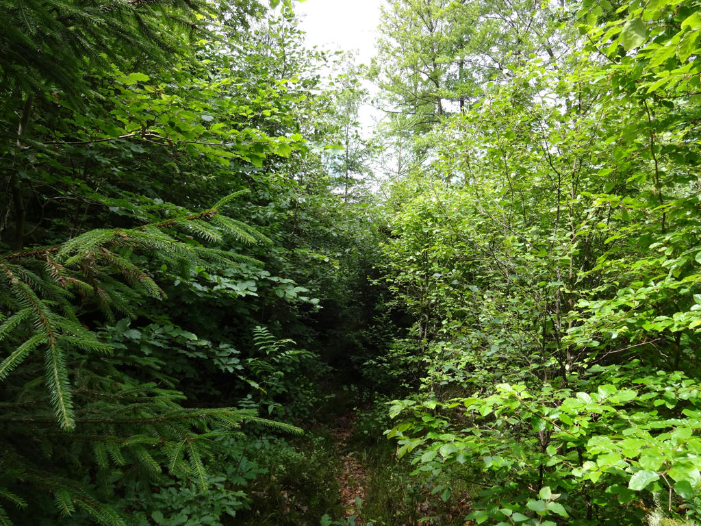
After passing national highway 26 the trail goes somewhere here. Clearly trees have been planted here and it wasn't worth it to try to go through here (or somewhere close). Instead I decided to go around by walking on the asphalt road leading to Rydöbruk.
Inga kommentarer:
Skicka en kommentar