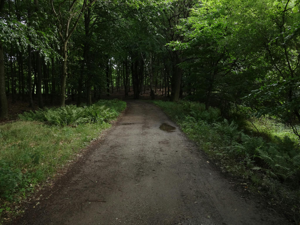
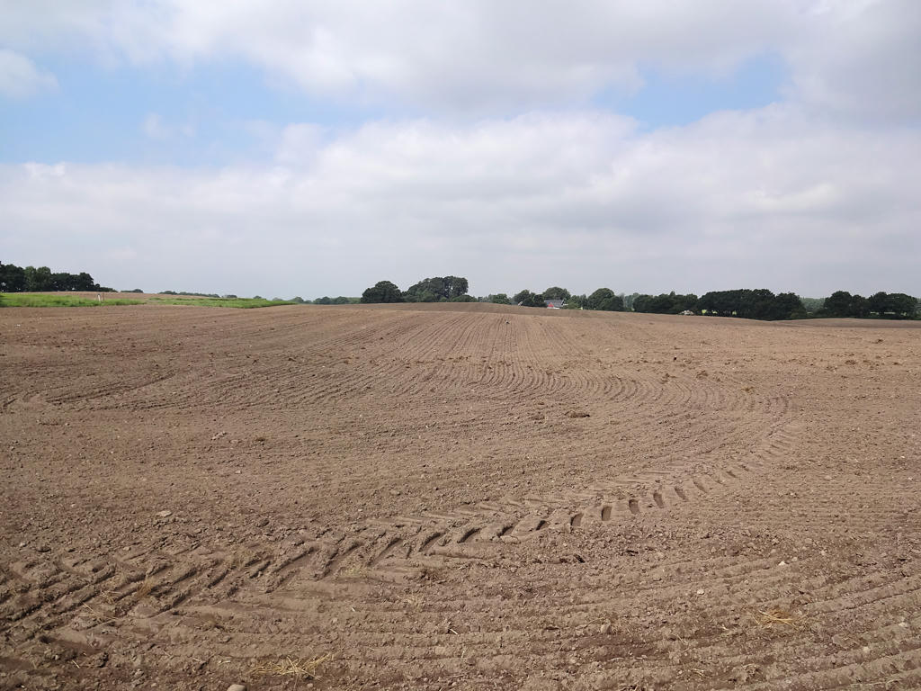
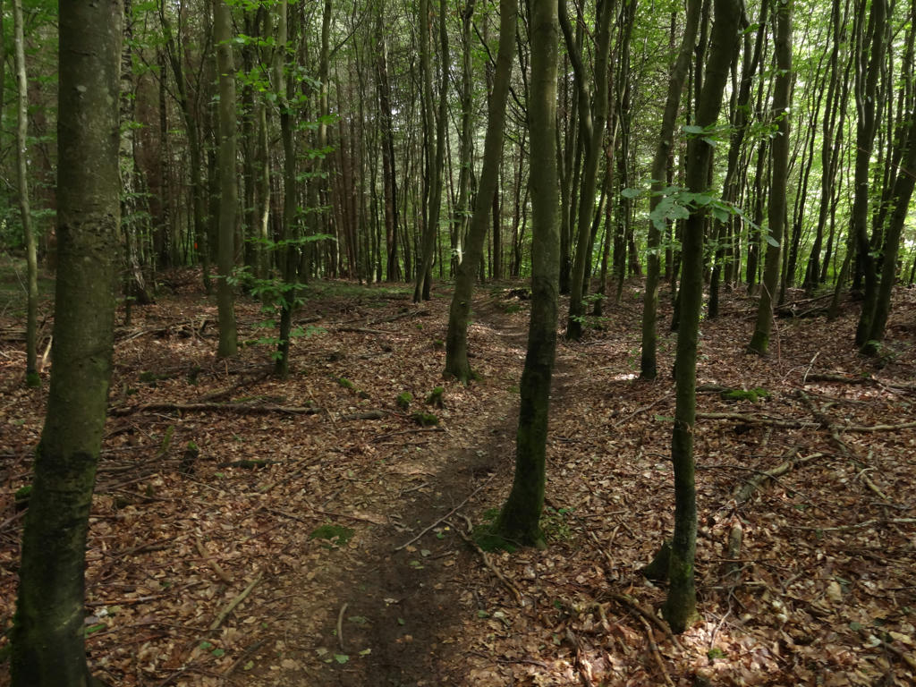
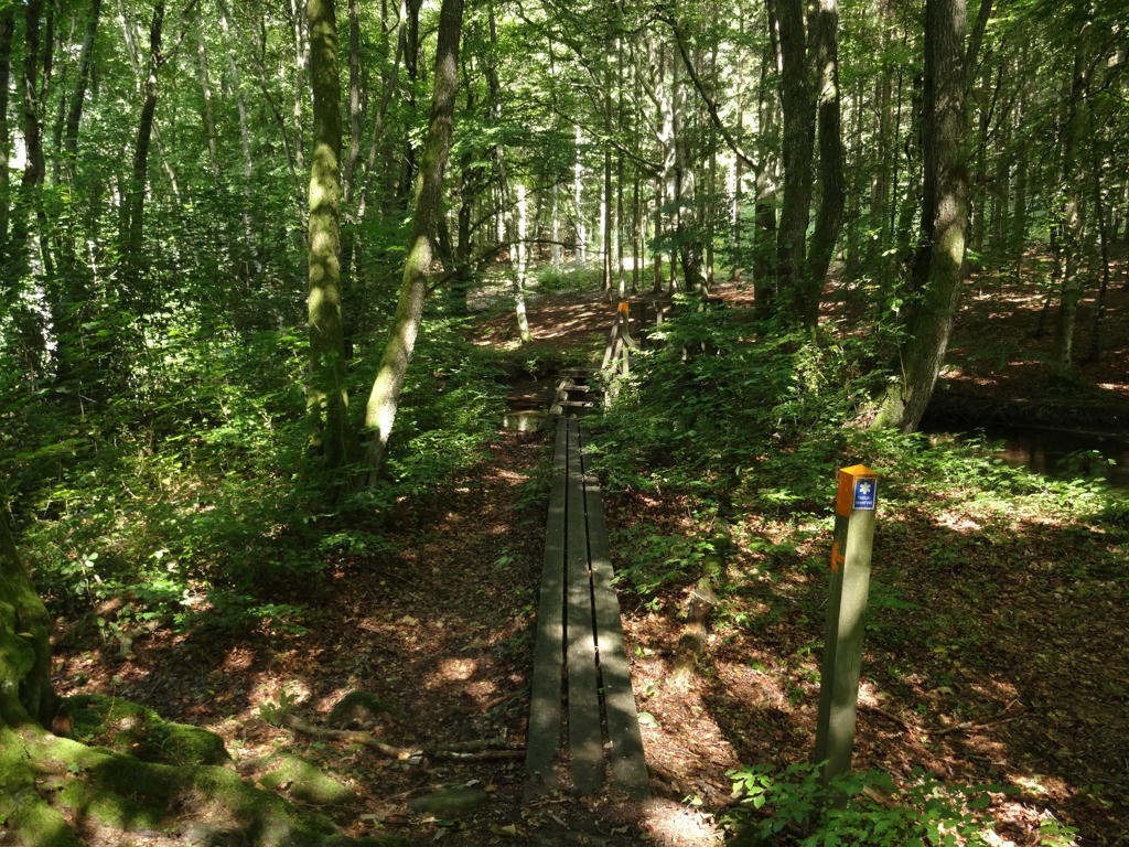
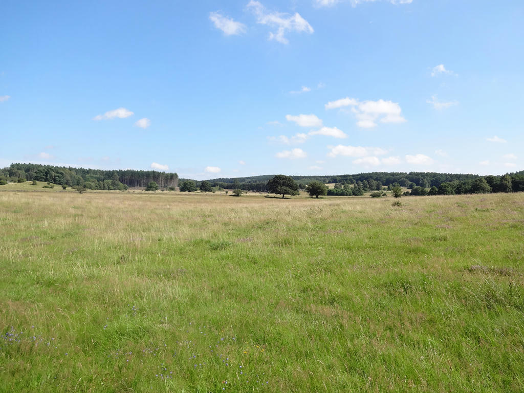
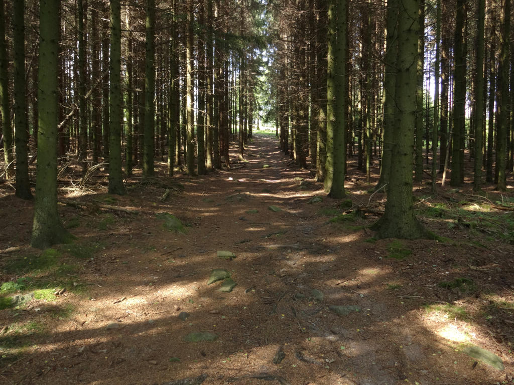
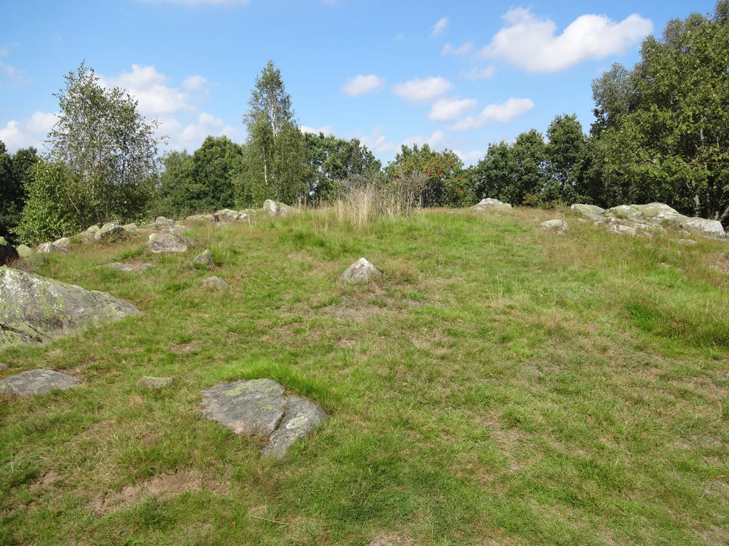
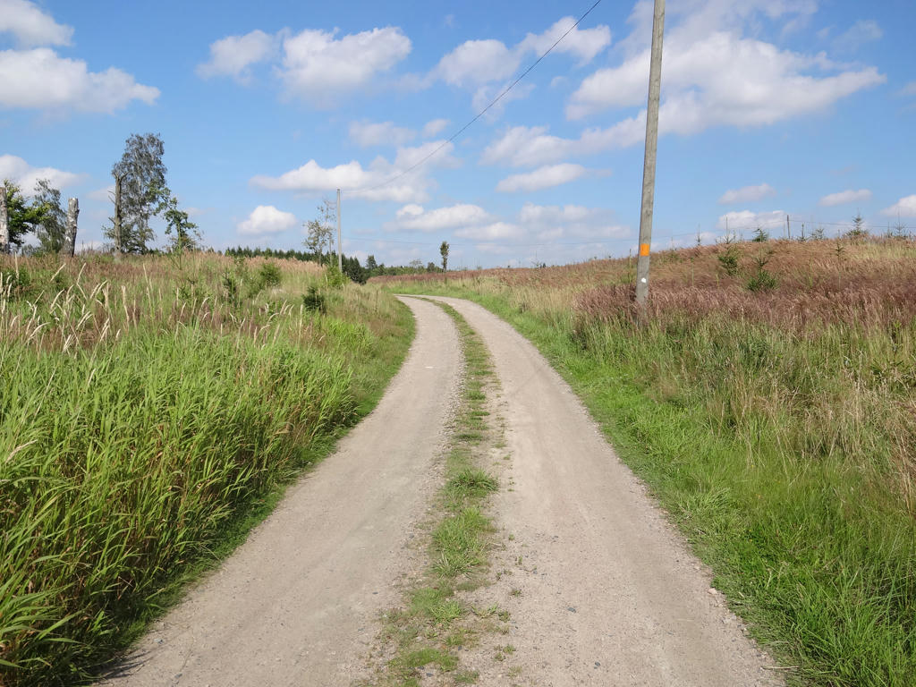
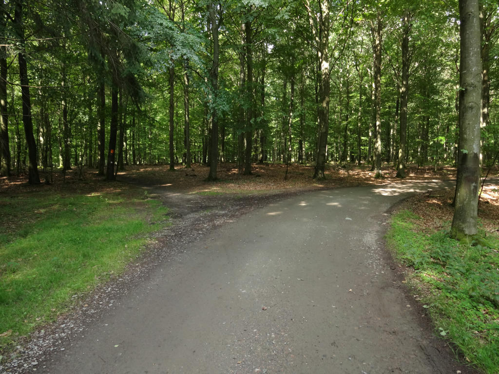
As I've mentioned previously, the southern parts of Skåneleden go through open landscapes (farm land and meadows) to a larger extent than the northern parts of Skåneleden and this was indeed the case for this walk. Between Yddinge and Glamberga the trail goes to a large extent through farm land but between Glamberga and Gökabacken the trail goes to a large extent through (mostly deciduous) forests and through meadows. Both the open landscapes and forests encountered during this walk are beautiful. The stage between Glamberga and Allmänningen goes to a large extent through two nature reserves: Risens nature reserve and Häckeberga nature reserve. With the exception of Yddingesjön, the only lakes near the trail are glacial kettles. Overall it was an interesting walk going through some beautiful parts as will be seen in the photos.
Before I present the photos however there are a few other things to note. As I've mentioned above, I expected that it was going to rain during the walk (at least in the morning). However it turned out that when I started the walk at 08:52 it was cloudy but it wasn't raining. Around 11 the sky cleared up. The weather got a bit cloudier later on (in the afternoon). The ground was wet for the most part (at least in the beginning of the walk) and so I had to be careful to avoid getting my shoes wet. For instance when going through a grass covered tractor road next to a field I had to put plastic bags on my shoes to avoid getting them wet. However, later on I still got my shoes wet. Finally it can be noted that that I saw two hares and a bunch of pheasants.
Enjoy the photos!
1.
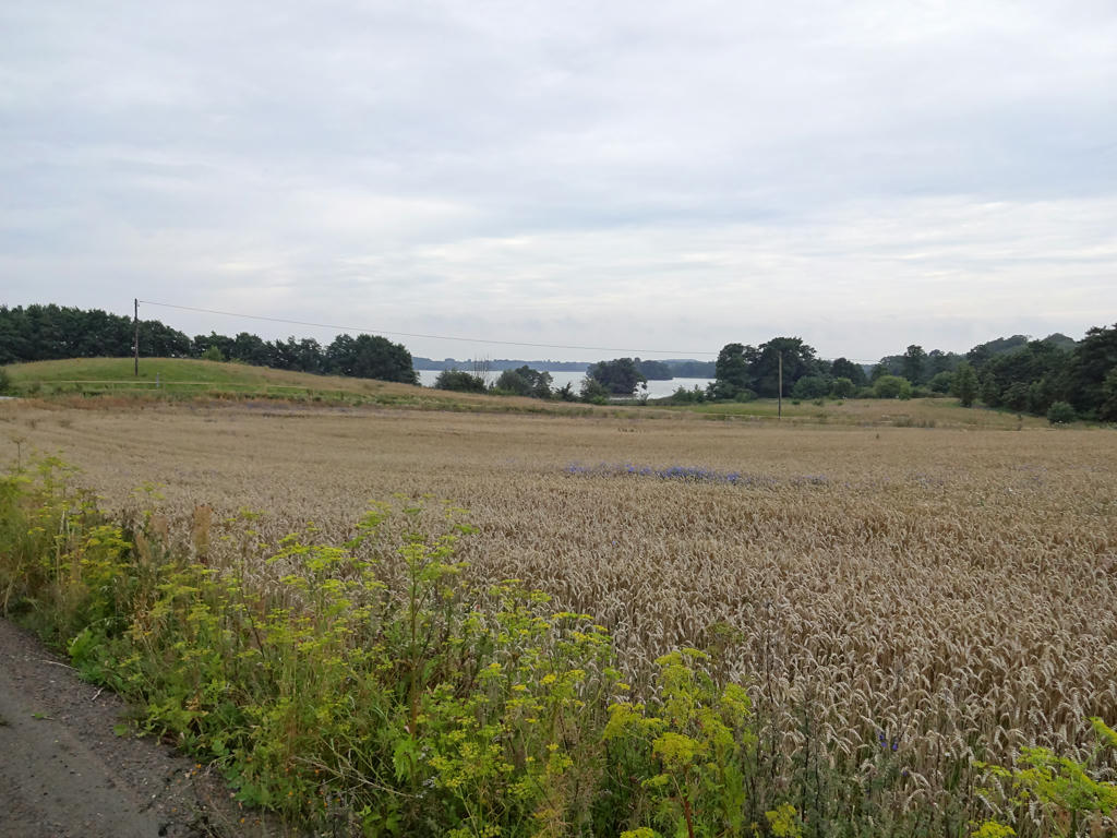
Yddingesjön. Brightened the photo slightly using the levels tool. Also sharpened the photo slightly using unsharp mask.
2.
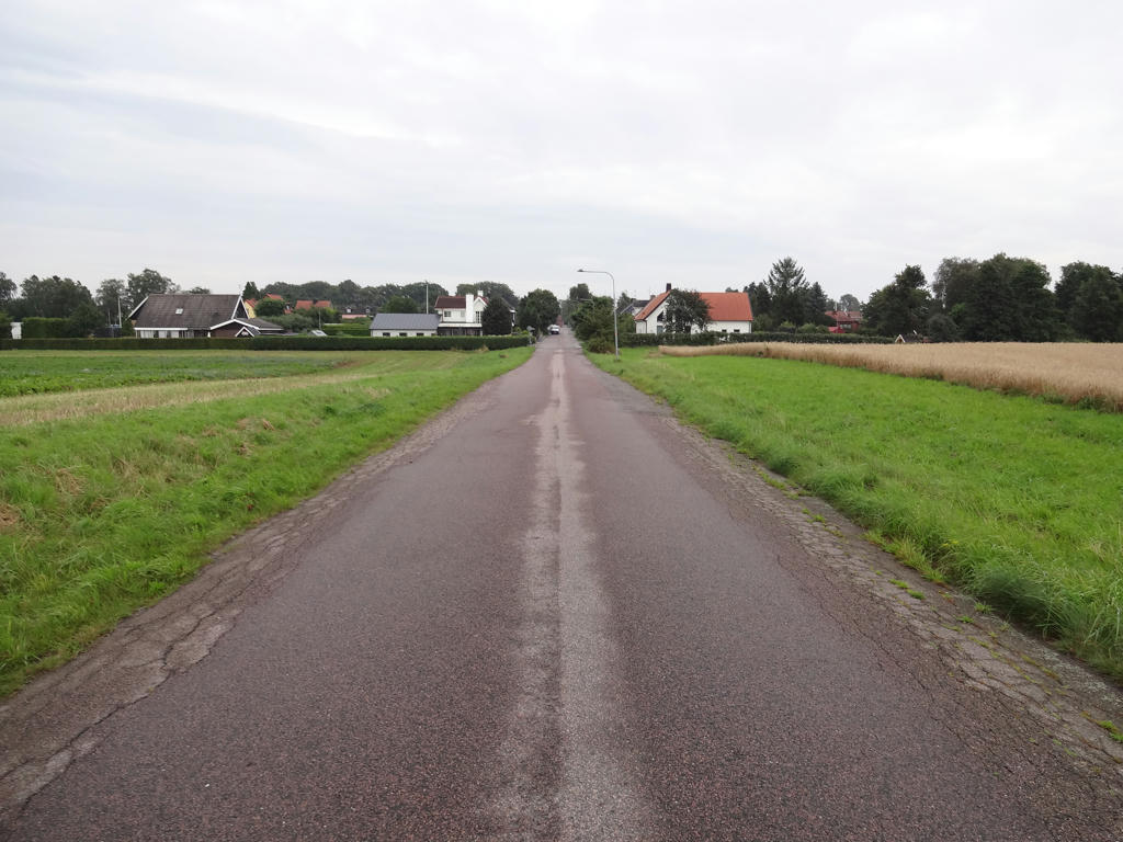
Holmeja
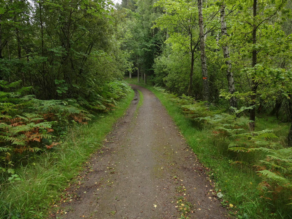
3.
4.
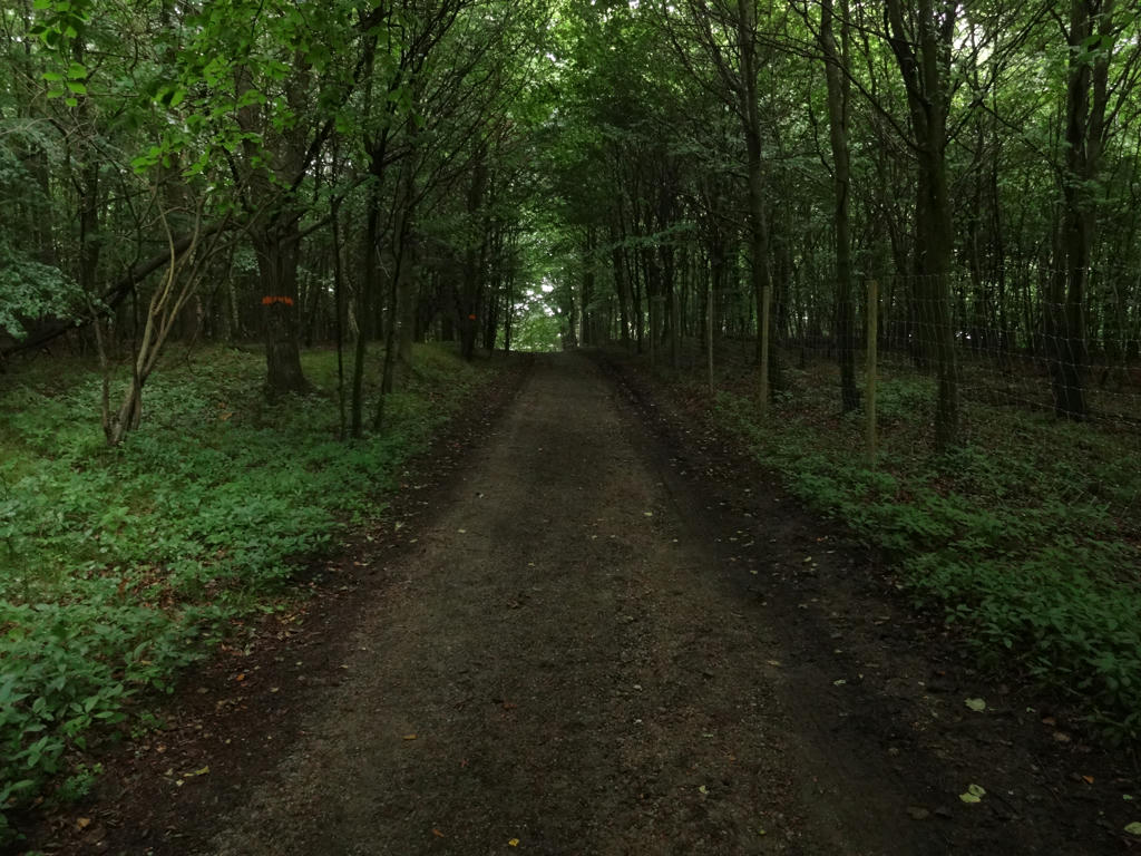
5.
Sharpened the photo slightly using unsharp mask. Also used the levels tool to slightly increase the contrast and brightness for the non-sky parts.
6.
Brightened the photo slightly using the levels tool. I also sharpened the photo slightly using unsharp mask.
7.
Used the levels tool to brighten the sky slightly and to brighten the non-sky parts slightly. Also rotated the photo slightly and cropped it.
8.

Used the levels tool to increase the brightness and contrast slightly.
9.
Darkened the sky slightly using the levels tool.
10.
11.
Sharpened the photo slightly using unsharp mask.
12.
13.
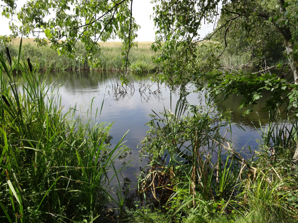
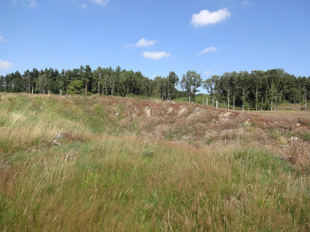
Glacial kettle
14.
15.
Sharpened the photo slightly using unsharp mask. Also brightened the photo slightly using the levels tool.
16.
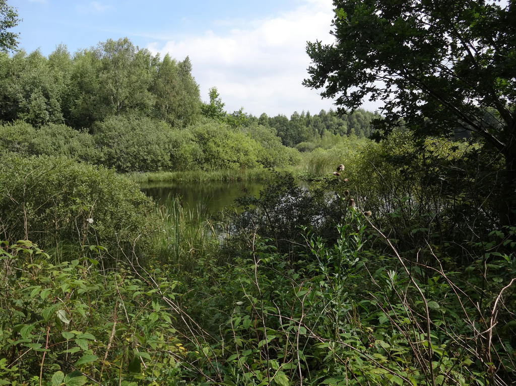
Glacial kettle. Rotated the photo slightly and cropped it. Also darkened the sky slightly using the levels tool. Finally, I sharpened the photo slightly using unsharp mask.
17.
18.
19.
20.
21.
22.
23.
Used the hue restorer plug-in to reduce the cyan-ish sky color. Also sharpened the photo slightly using unsharp mask.
24.
Used the levels tool to increase the brightness and contrast slightly. Also sharpened the photo slightly using unsharp mask.
25.
26.
Järnhatten
27.
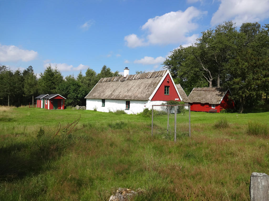
Kullatorpet. Rotated the photo slightly and cropped it. Also used the levels tool to brighten the sky and non-sky parts separately.
28.
29.
30.
31.
Shortly after Gökabacken. Brightened the non-sky parts slightly using the levels tool. Also sharpened the non-sky parts slightly using unsharp mask.
32.
Near Veberöd
Inga kommentarer:
Skicka en kommentar