To get to Yddinge I first traveled with bus 142 to Klagerup. There I changed to bus 165 in the direction of Svedala and traveled to the Holmeja väg 108 bus stop. In total the travel time was only 50 minutes. The walk itself was 19.3km long as mentioned above (out of which the last 0.3km were required to reach the Ulricedal bus stop. The total duration for the walk was 5h40mins, which is the shortest duration for the Skåneleden walk but it was obviously also the shortest Skåneleden walk. My average speed was thus approximately 3.41km/h. From Bulltofta I traveled back to the hostel, which took only 13 minutes since the travel was between two different parts of Malmö. My original intention was to stay for another night (since I had paid for another night) but I was able to get back my money for that night and I traveled back home to Göteborg by train soon after.
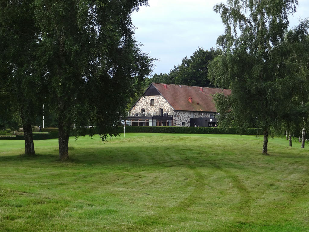
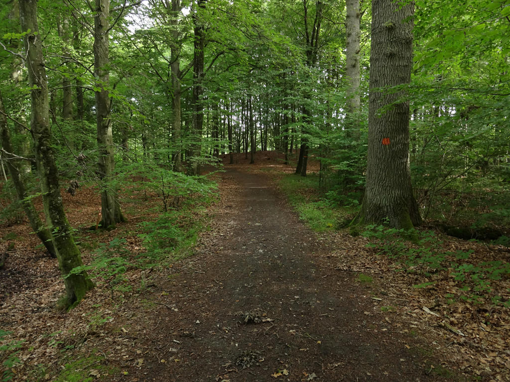
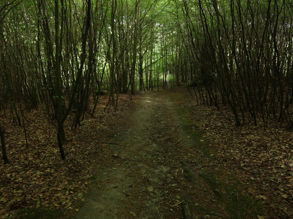
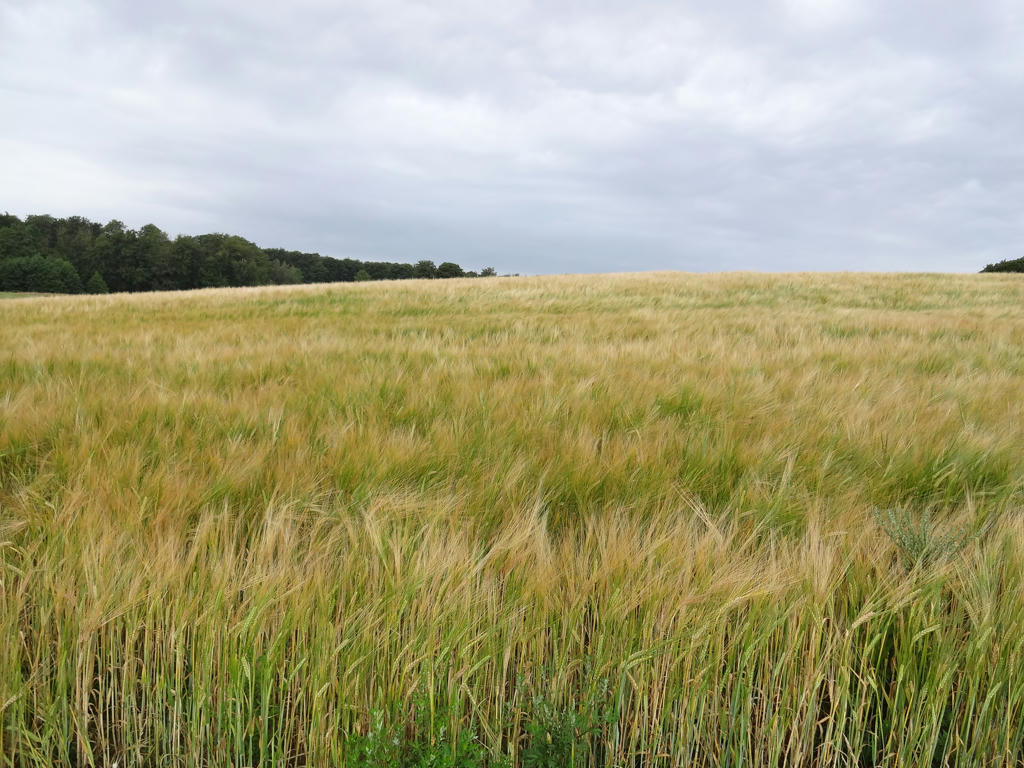
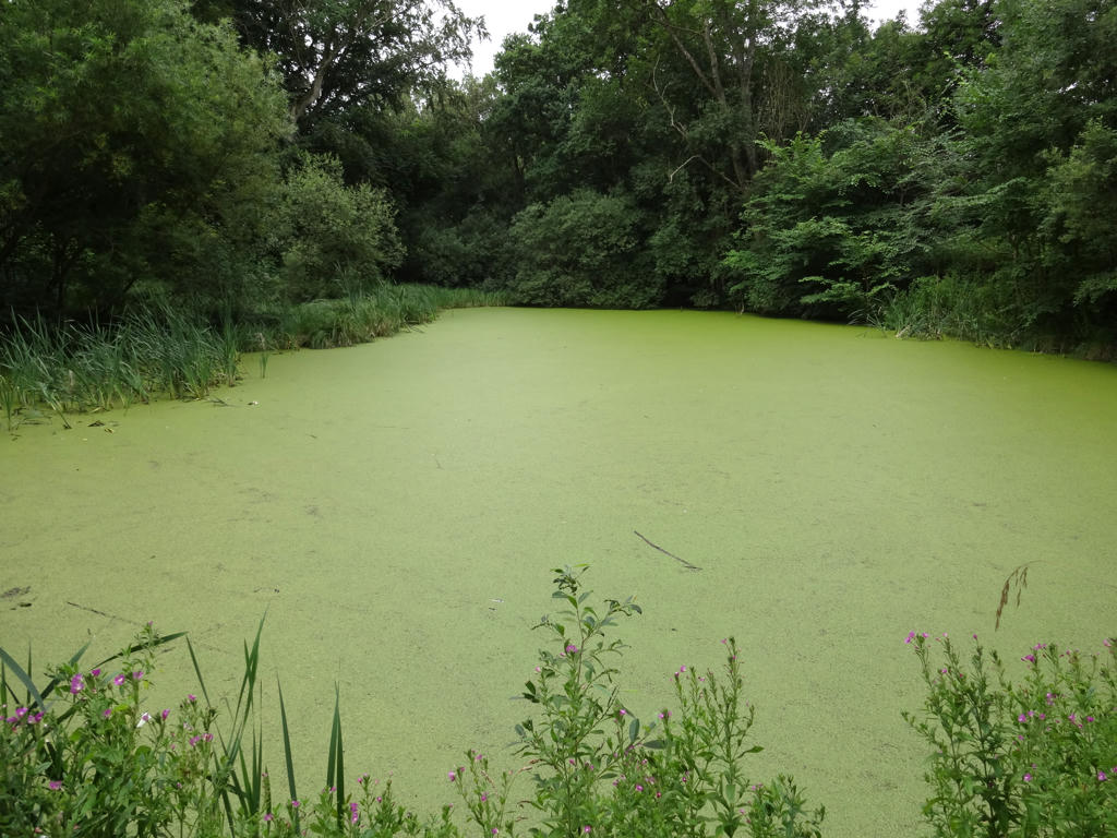
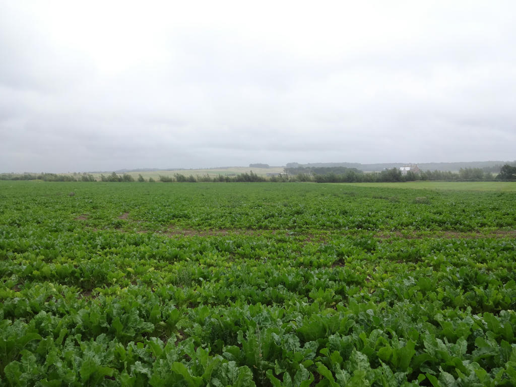
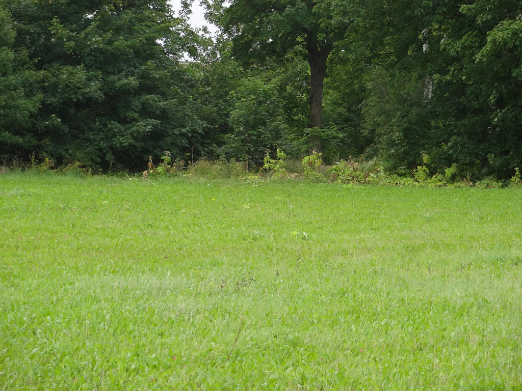
In any case, the walk itself was pretty interesting for the most part and reminded me of Hallandsleden Walk #1 between Rolfstorp and Varberg because of the similarities in terms of the terrain. The walk began near Yddingesjön and continued through the golf course nearby. After that the walk continued through an interesting deciduous forest segment and then through the beautiful beech forest near Torup. As is often the case in southern Skåne the landscape is dominated by farm land or meadows and the forest segments are usually small. In Torup there are several lakes/ponds and also several old buildings, including Torup Castle. After Torup Castle the trail once again goes through a short forest segment. Shortly after that the trail reaches Bara, which is a small town (well, it looks more like a suburb although it's about 4.5km outside of Malmö). Between Bara and Malmö the trail goes through a large scale farm land landscape which is beautiful in some ways. The final parts of the trail goes through some uninteresting parts of Malmö. It ends in Bulltofta recreation area which is not very interesting to say the least.
As I've mentioned above the weather prognosis showed that it was going to rain but it wasn't actually as bad as expected. It started raining first once I've reached Torup (after 5km). It was mostly minor rain and it wasn't causing much of an annoyance because the walk almost entirely on gravel or asphalt roads (well, a cycling path to be specific). There was however I short segment between Torup and Bara that went on a footpath in a grass covered field where I got my shoes wet. It also tends to annoying when rain drops fall onto the camera lens. Other than that it can be noted that I managed to get a bit lost in Torup, for some reason some of the Skåneleden signs were missing and it took me about 23 minutes to find the correct way. As if that wasn't enough I also got a bit lost in a neighborhood in Malmö but I used GPS coordinates to find the place where I was supposed to go.
Overall I think the walk was pretty interesting except for the part that went through Malmö. I enjoyed the forest segments and the open landscape. A small amount of rain can add to the atmosphere (which I think it did in this case) but maybe I would have preferred if it was sunny. So, without further ado, the photos are presented below! Enjoy!
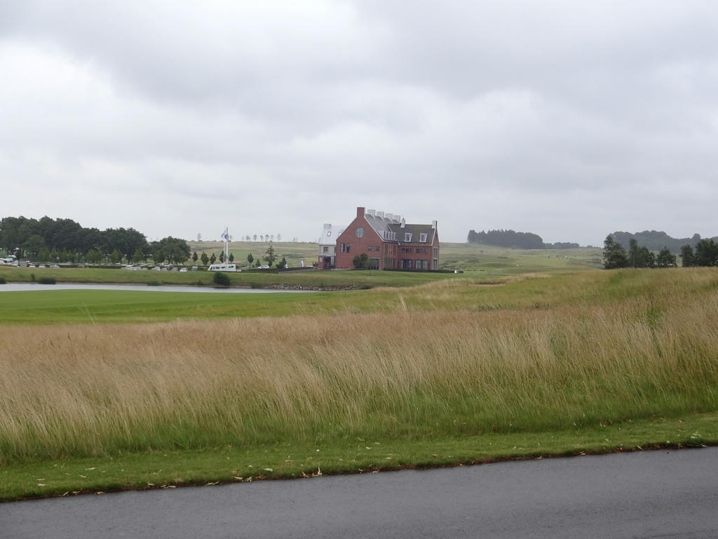
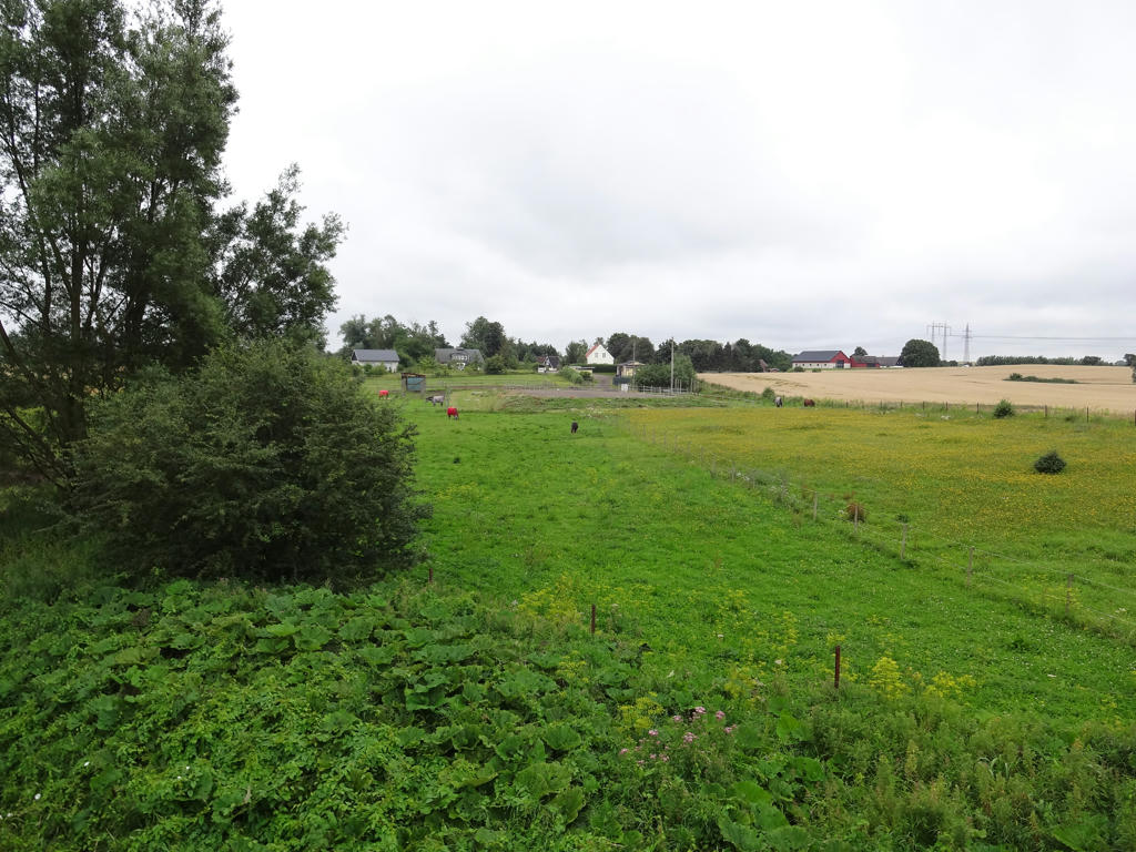
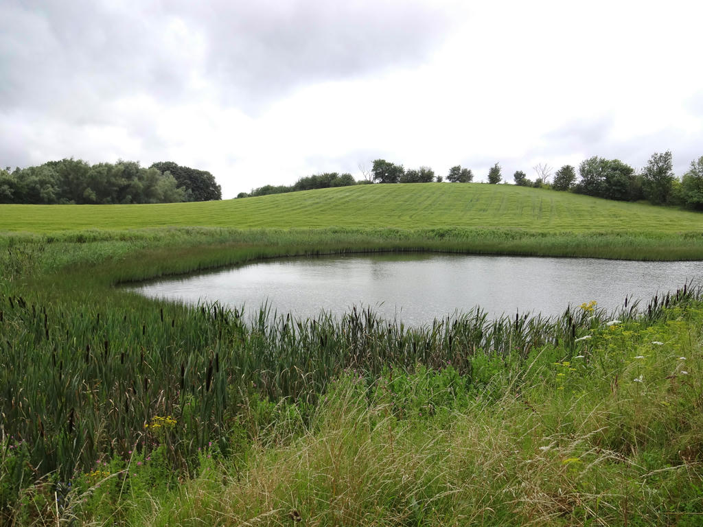
1.
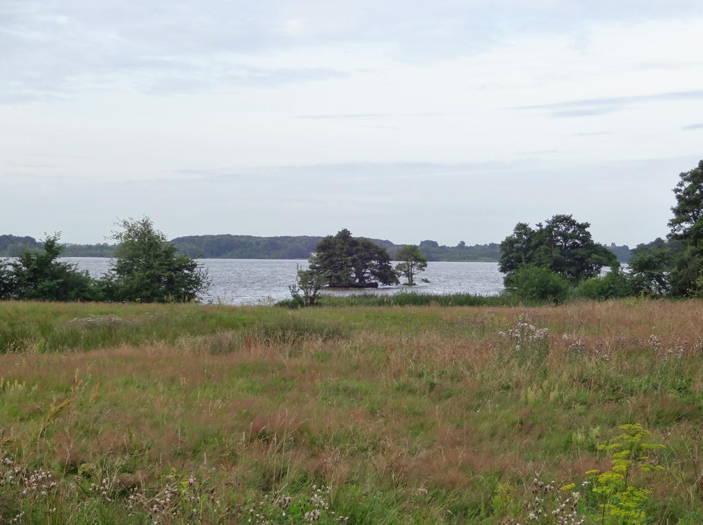
Yddingesjön. Rotated the photo slightly and cropped it. Used the levels tool to darken the sky slightly and brighten the non-sky parts slightly. Finally I used the brightness-contrast tool to increase the contrast slightly.
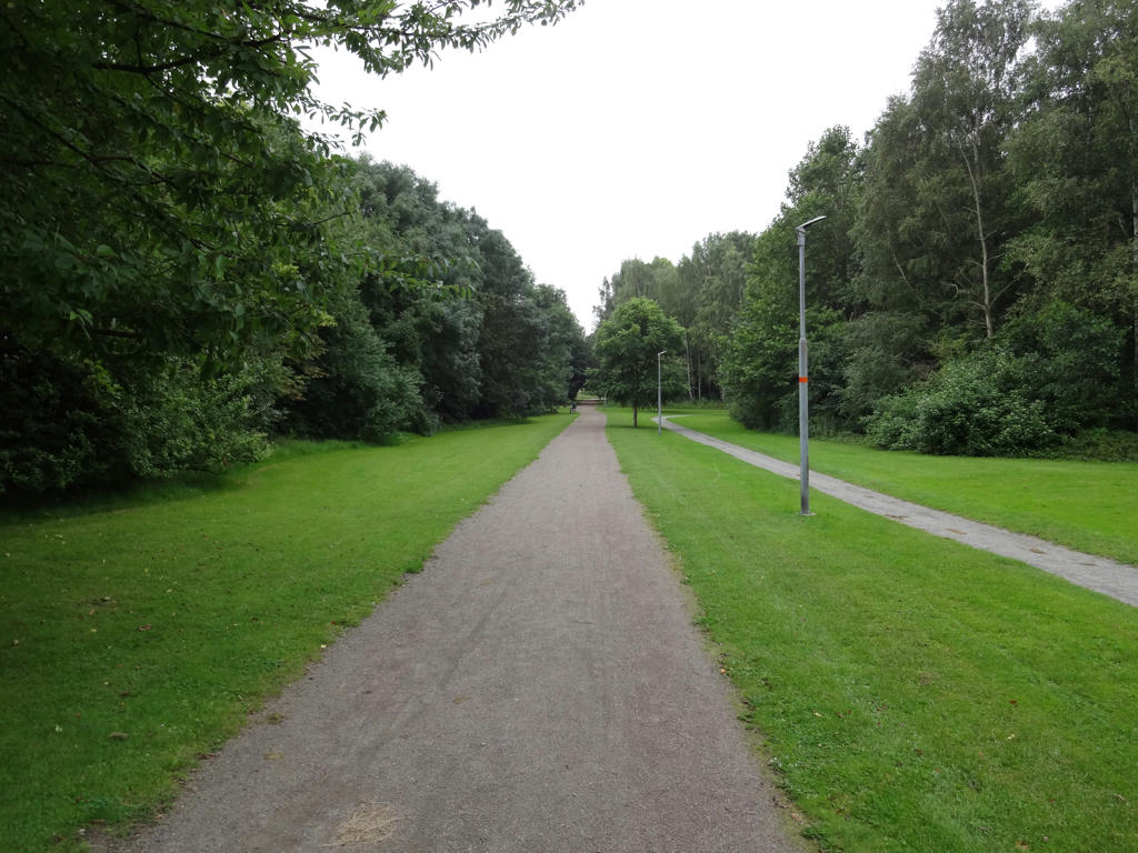
2.
Used the levels tool to darken the sky slightly and brighten the non-sky parts slightly.
3.
Sharpened the photo slightly using unsharp mask.
4.
5.
6.
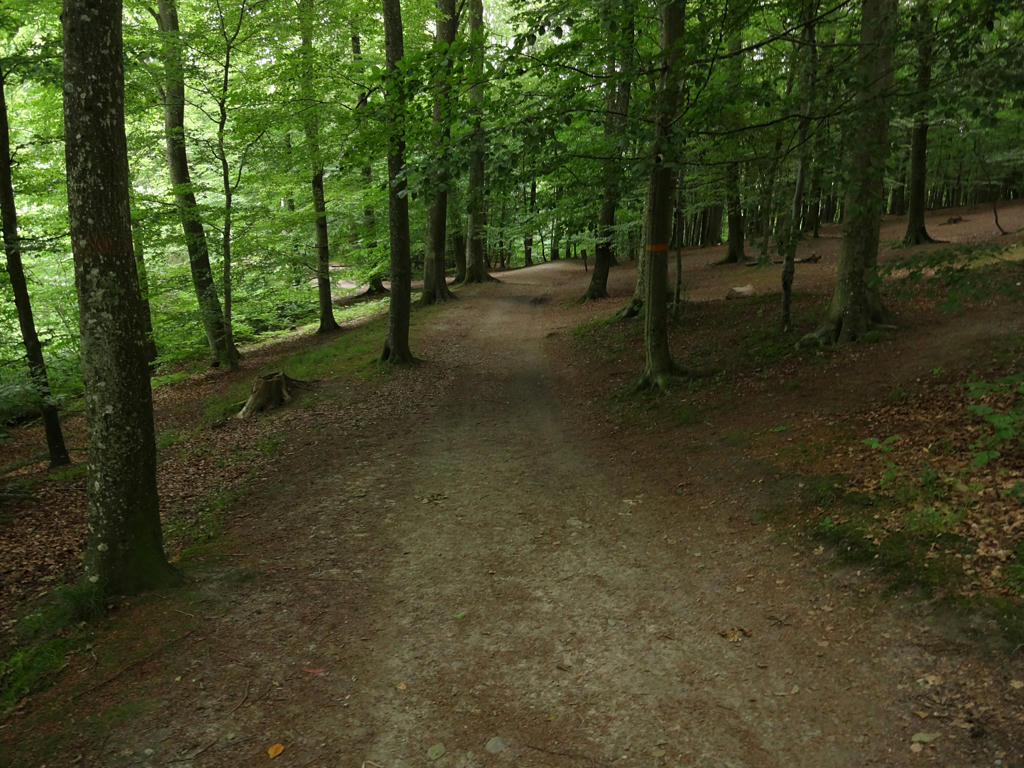
Beech forest near Torup. Sharpened the photo slightly using unsharp mask.
7.
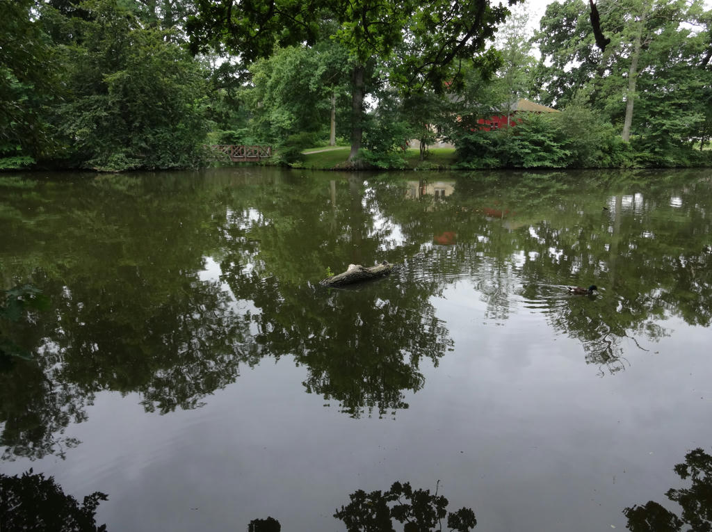
A lake/pond in Torup. Rotated the photo slightly and cropped it.
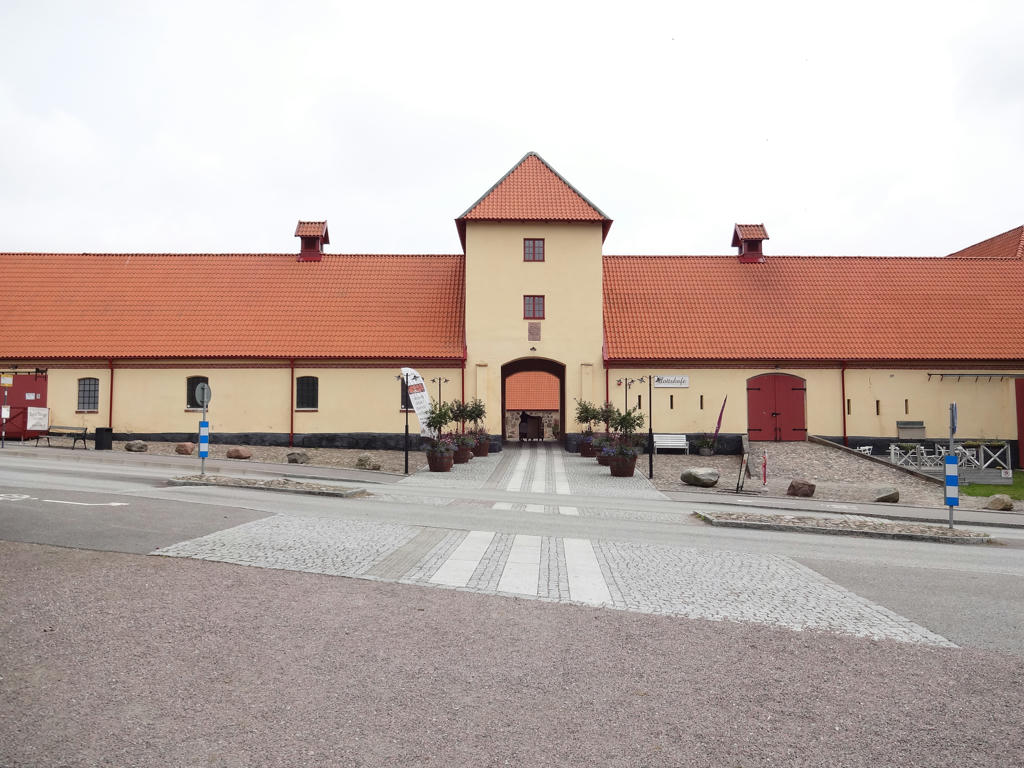
8.
Used the levels tool to brighten the non-sky parts slightly.
9.
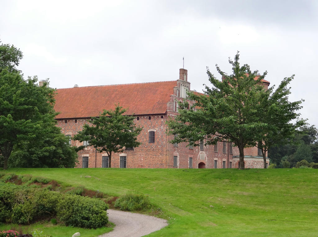
Torup Castle. Rotated the photo slightly and cropped it. Also darkened the sky slightly using the levels tool.
10.
11.
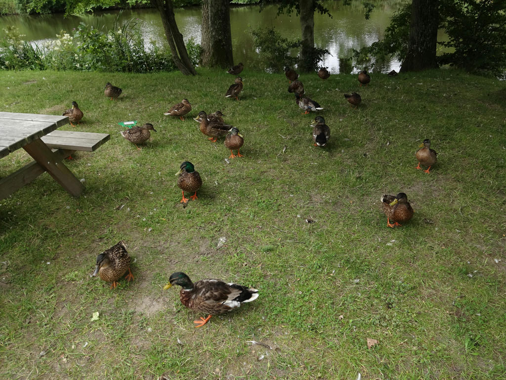
Mallards. Sharpened the photo slightly using unsharp mask.
12.
Brightened the non-sky parts slightly using the levels tool.
13.
Increased the contrast slightly using the brightness-contrast tool. Also sharpened the photo slightly using unsharp mask.
14.
Brightened the non-sky parts slightly using the levels tool.
15.
The third place where I saw giant hogweed in Skåne. As I've previously mentioned, giant hogweed can give severe burns that last for years and get worse with sunlight exposure. Sharpened the photo slightly using unsharp mask.
16.
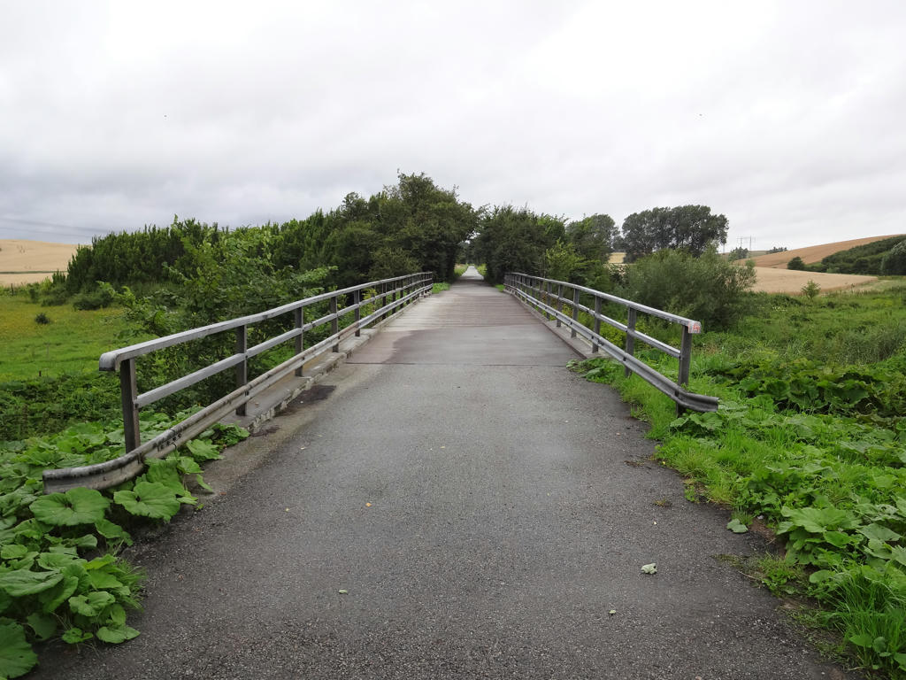
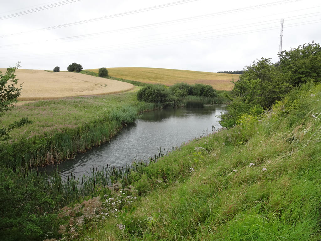
Bridge over Sege å. Although this is today a cycling path, the railway line between Malmö and Genarp used to be here. It was opened in 1856 and was discontinued in 1948. Used the levels tool to slightly darken the sky and slightly brighten the non-sky parts.
17.
18.
19.
20.
Used the brightness-contrast tool to increase the contrast slightly. Also sharpened the photo slightly using unsharp mask.
21.
Used the levels tool to darken the sky slightly and brighten the non-sky parts slightly.
22.
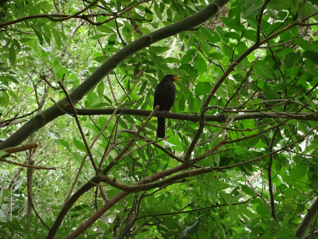
Common blackbird. Despeckled the photo and also sharpened the photo slightly using unsharp mask.
23.
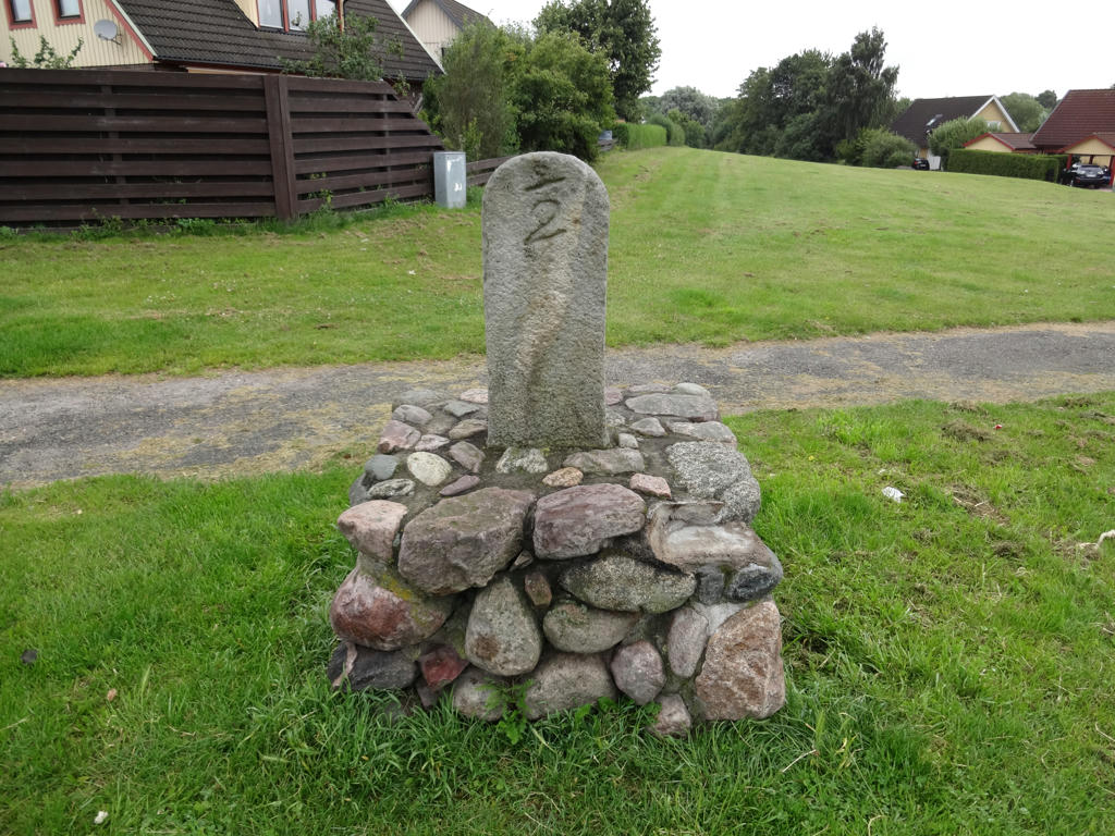
An old milestone. Used the levels tool to slightly increase the brightness and contrast for the photo.
24.
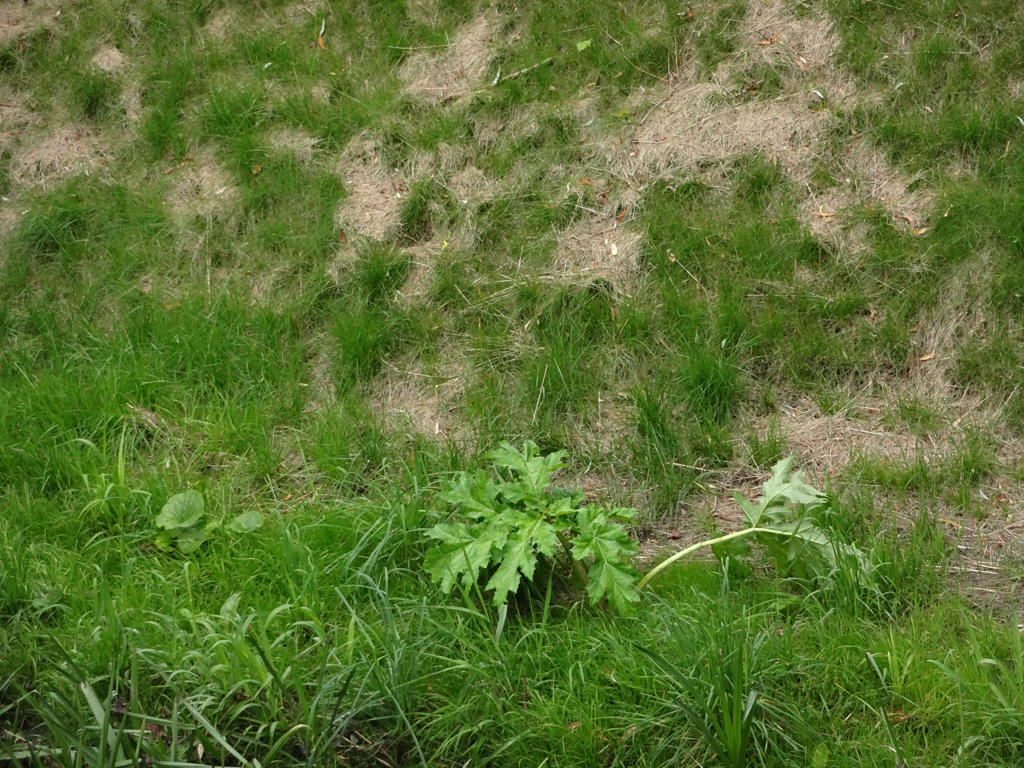
The fourth and last place in Skåne where I saw giant hogweed. Sharpened the photo slightly using unsharp mask.
25.
Part of Bulltofta recreation area.
Inga kommentarer:
Skicka en kommentar