The walk was in total 34.8km out of which the last 2km were needed to reach Veberöd (the path to Veberöd is part of Skåneleden but not part of the E6 European long-distance path). In total the duration for the walk was 10h45mins (which was the longest duration for the Skåneleden walks). My average speed was thus approximately 3.24km/h (which was also the slowest average speed for the Skåneleden walks).
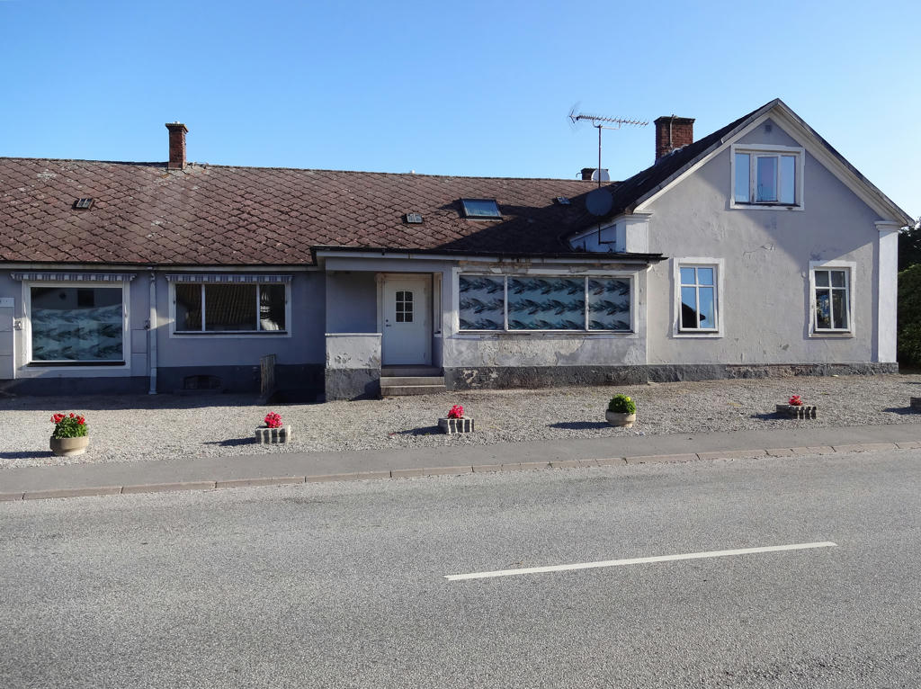
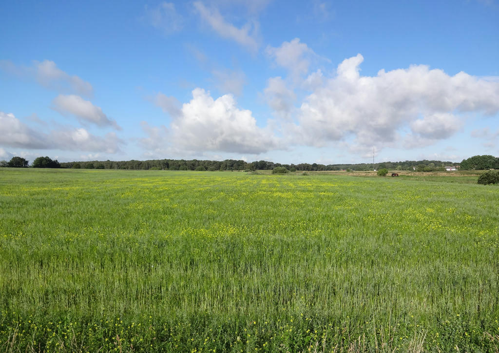
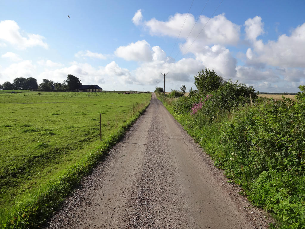
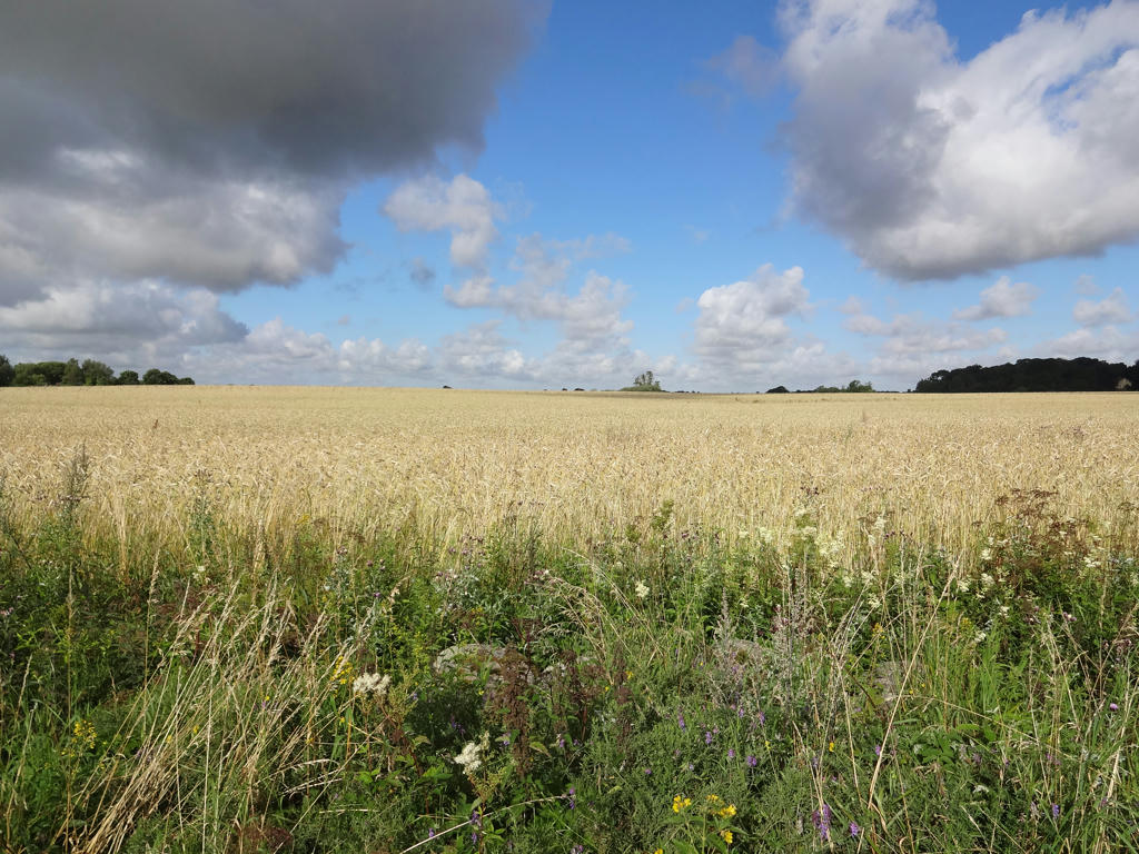
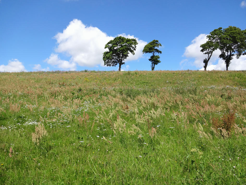
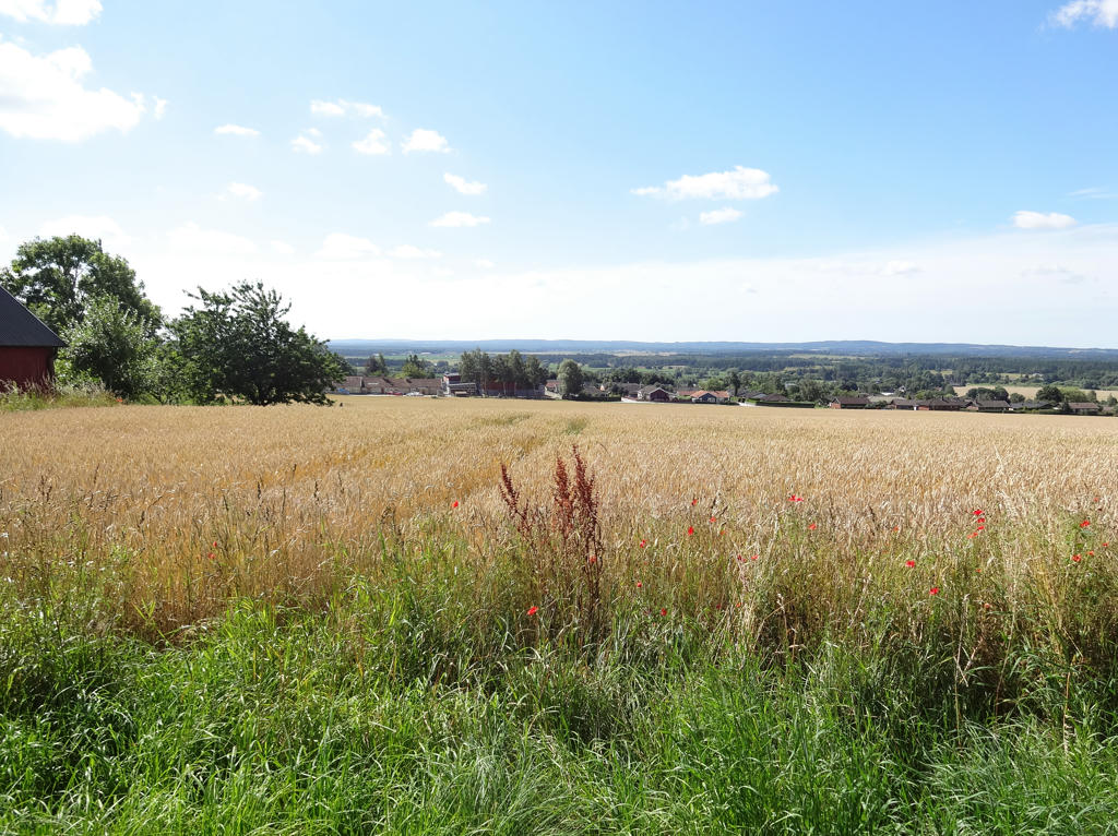
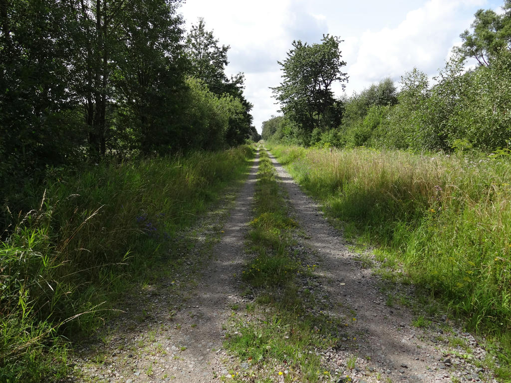
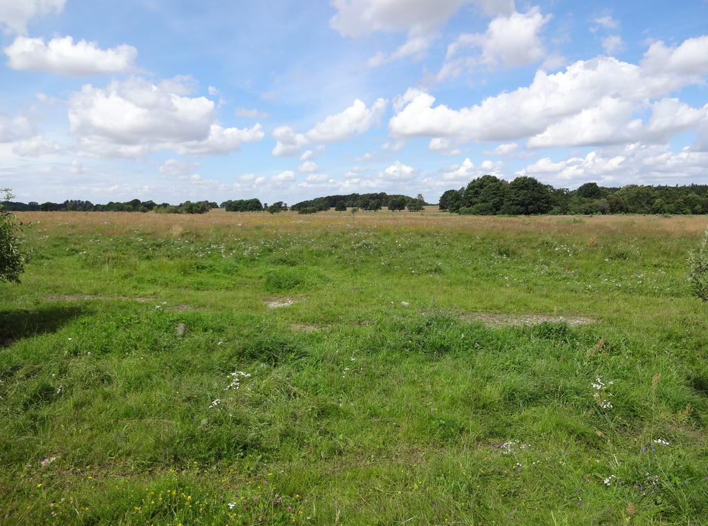
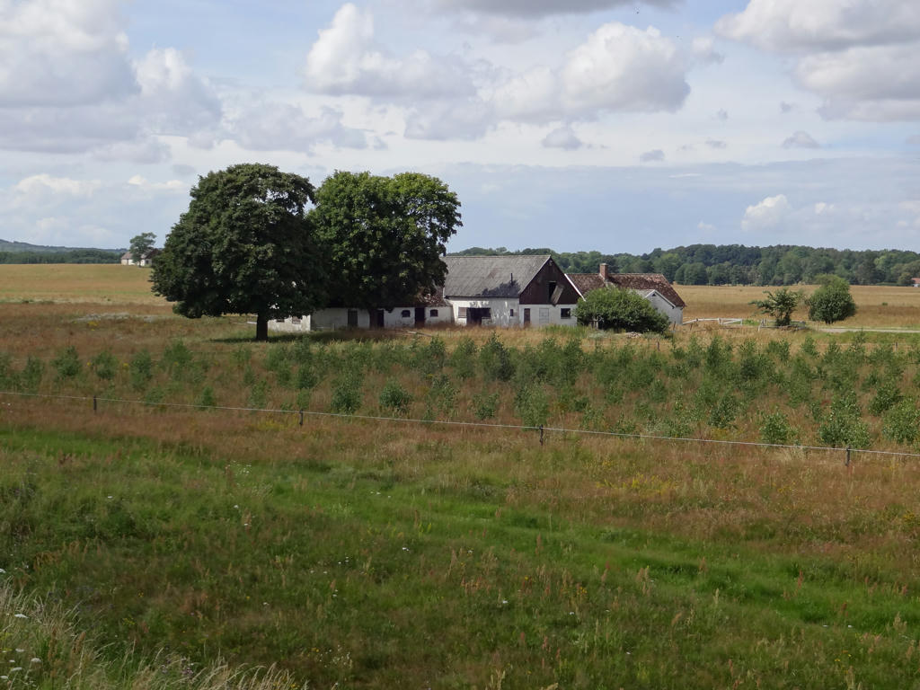
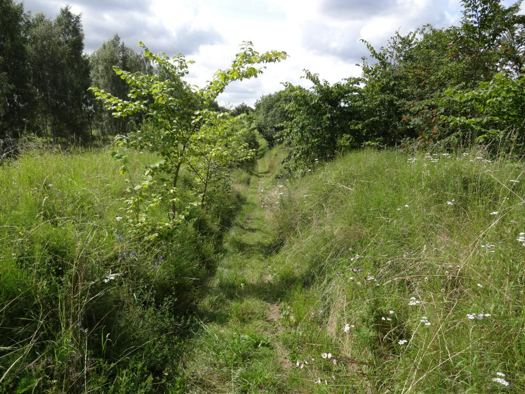
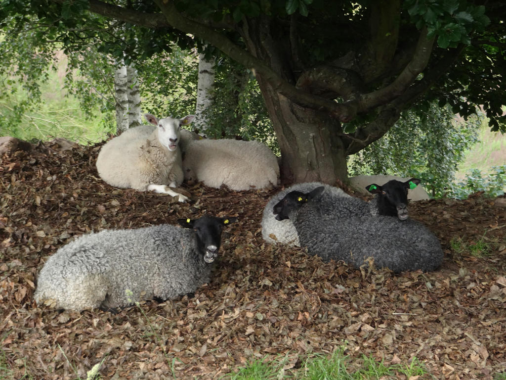
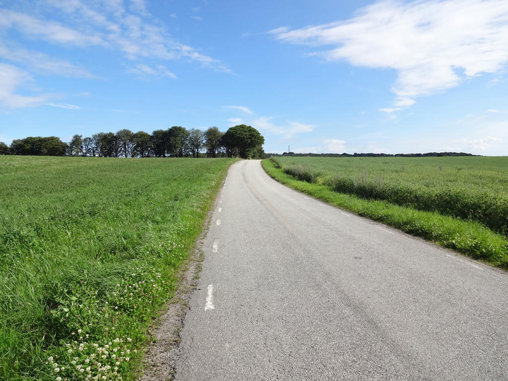
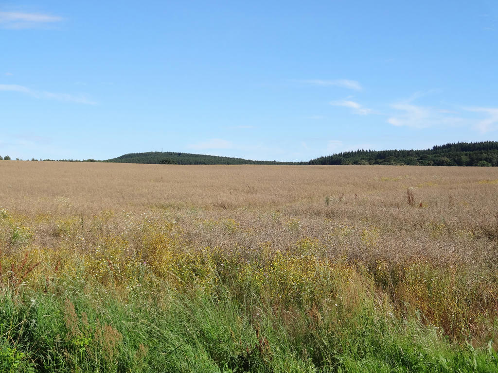
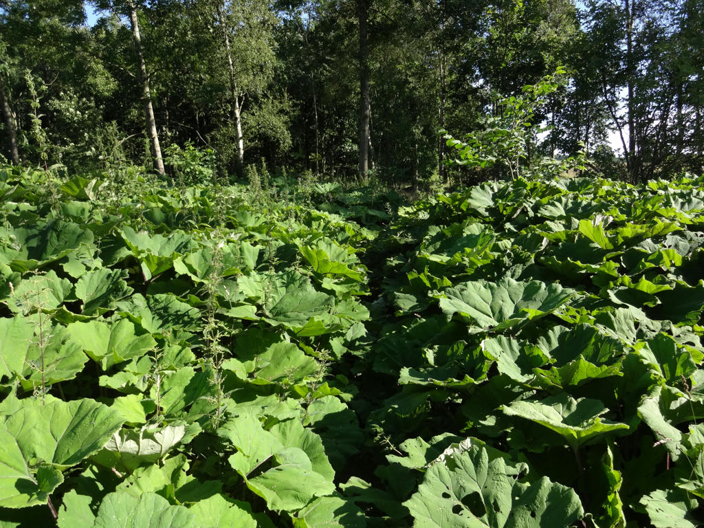
This might very well be my favorite Skåneleden walk and includes some of the most beautiful parts of the Skåneleden walks. There is a large variety of terrains but the trail is mostly dominated by farm land and meadows. The walk felt like quite a journey both because of the variety of terrains and because of the long duration for the walk. In the blog post for Skåneleden Walk #2 between Löberöd and Ludvigsborg I noted that Löberöd is a lovely small town. However, this walk also goes through two other lovely small towns: Harlösa and Veberöd. Both Harlösa and Veberöd are idyllically located and have some beautiful buildings. The trail also goes through Hällestad but only tangentially (on the outskirts of the town) and through Björnstorp. There are also a couple of lakes and rivers on the path, including the beautiful Kävlinge river (Kävlinge ån) and the ornithologically interesting Krankesjön. As I've mentioned before above the landscape is dominated by farm land and meadows but there are also a couple of small forest regions, including the beautiful beech forest in the Torna-Hällestad nature reserve and the forest covering Romelaåsen (which is near the end of the walk). The farm land regions and the meadows also tend to be very beautiful.
Before I present the photos (which will describe the character of the walk in a much better way than my words can and show some of the highlights (including ones I haven't mentioned above)) I will note a few other things. Firstly, I was very lucky with regards to the weather. The sky was clear most of the day and there was only minor cloudiness. It might have been the walk with the best weather among all of the Skåneleden walks (certainly among the four walks I went on during my first visit to the hostel in Malmö). Secondly, I saw two hares in one location near the start of the walk and a squirrel later. However, I only managed to get two pretty bad photos of the hares and a bad photo of the squirrel. It can also be noted that as usual I got wet shoes (due to wet grass) and had to change my socks a couple of times. Furthermore, when I was taking a break near Hällestad I managed to lose the description and the map for stage 13 between Krankesjön and Väderkullen (I was sitting down and it must have fallen out of my pocket, I didn't notice it until a bit later). Well, it wasn't too big of a loss since I've already had walked about half of stage 13 and because stage 13 can be seen on the map for stage 14. Nonetheless, it was a bit of an annoyance. A more significant annoyance was how tired I was during the day. The lack of sleep due to the noisiness in the dormitory at the hostel combined with waking up early in the mornings and falling asleep late in the evenings had taken its toll.
Enjoy the photos!
1.
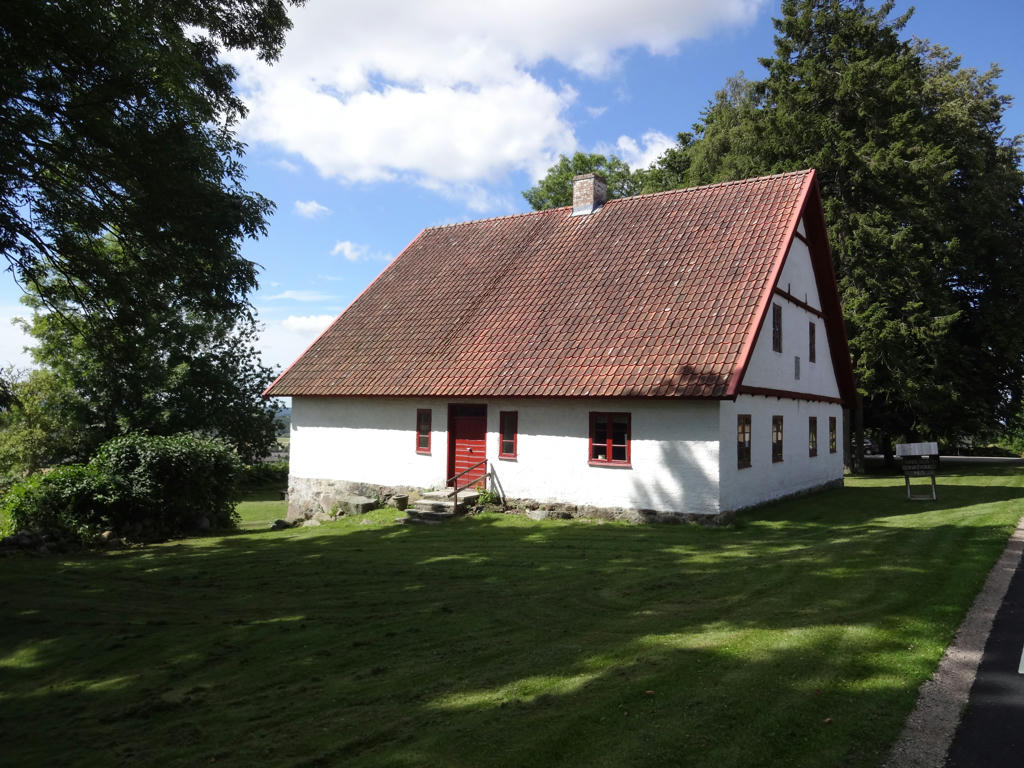
A house/building in Löberöd in a style I've mostly seen in small farming towns. Rotated the photo slightly and cropped it.
2.
Cropped the photo a bit.
3.
Brightened the non-sky parts slightly using the levels tool.
4.
5.
6.
7.
For the non-sky parts I used the brightness-contrast tool to slightly increase the contrast, the levels tool to slightly increase the brightness and unsharp mask to slightly increase the sharpness. I also darkened the sky slightly using the levels tool.
8.
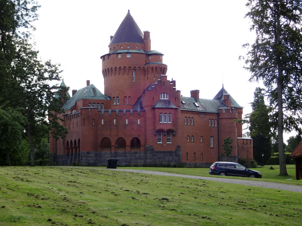
Hjularöd Castle
Hjularöd Castle was built between 1894-97 and is Skåne's most recently built castle. The chivalric romance had swept across Europe and the castle was built with feelings rather than defense in mind.
Rotated the photo slightly and cropped it. Also equalized the histogram for the non-sky parts which gave far more natural colors.
9.
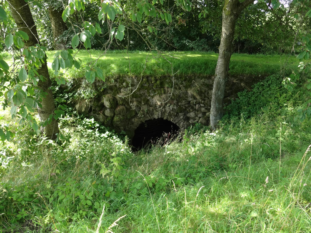
"The stone-arch bridge
In 1752, a Royal Command ordered that all new bridges in Scania (Skåne), Småland and Östergötland be built of stone, partly in order to restrain the exploitation of the forests. Stone constructions were expensive to build, however, and there were places where people went on using wood for bridges. This stone-arch bridge was constructed as a "dry wall", which means that it was built without mortar, the arch itself consists of wedged stone. The span is about 2.5 metres (just over 8ft) wide. At the northwestern end of the bridge, the inscription "CEIVIL 1759" probably refers to the builder (it may be his name or initials) and to the year in which the bridge was completed. This is the oldest dated bridge in Scania, and it is a good representative of the stone bridges of the 18 century. It is likely to have been built in response to the Royal Command of 1752."
In 1752, a Royal Command ordered that all new bridges in Scania (Skåne), Småland and Östergötland be built of stone, partly in order to restrain the exploitation of the forests. Stone constructions were expensive to build, however, and there were places where people went on using wood for bridges. This stone-arch bridge was constructed as a "dry wall", which means that it was built without mortar, the arch itself consists of wedged stone. The span is about 2.5 metres (just over 8ft) wide. At the northwestern end of the bridge, the inscription "CEIVIL 1759" probably refers to the builder (it may be his name or initials) and to the year in which the bridge was completed. This is the oldest dated bridge in Scania, and it is a good representative of the stone bridges of the 18 century. It is likely to have been built in response to the Royal Command of 1752."
10.
Meadow shortly before Harlösa. Used the levels tool to brighten the photo slightly. Also decreased the contrast slightly using the brightness-contrast tool.
11.
Nice view of Harlösa and the surrounding landscape. Rotated the photo slightly and cropped it. Also used the hue restorer plug-in to reduce the cyan-ish sky color.
12.
"The donation house
The building was erected in 1823-24 to serve as an old people's home for the estate's servants and workers, and it was in use until 1968. The house was designed and built as a perfectly symmetrical square divided into four small apartments, each consisting of an ante-room, a room and a chamber, grouped around a central stove. Originally the apartments had separate entrances; they were later replaced by two main doors facing east and west. The building, with walls of plastered brick granite foundation, is virtually unchanged.
At first the roof consisted of shingles; tiles were placed on top of them. In 1987 the donation house was listed as a building of historical interest because of its distinctive shape, its location in the village environment close to the church and the vicarage, and the sociohistorical context to which it belongs."
13.
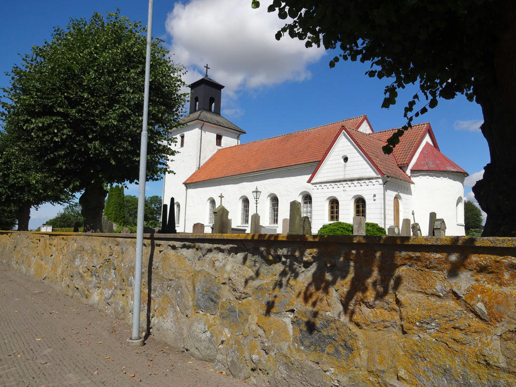
Harlösa Church
14.
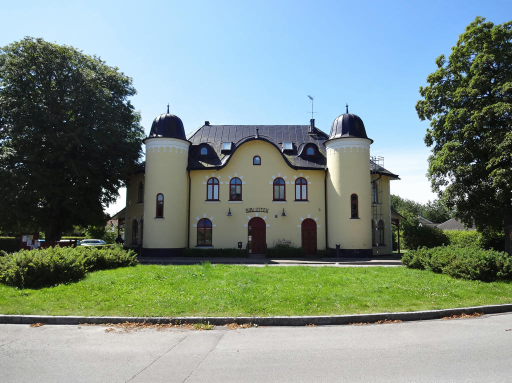
Library in Harlösa. Used the hue restorer plug-in to reduce the cyan-ish sky color. Also rotated the photo slightly and cropped it.
15.
16.

Railway bridge over Kävlingeån and view of Harlösa. Brightened the non-sky parts slightly using the levels tool.
17.
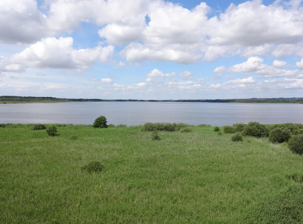
View of Krankesjön from a bird tower. Rotated the photo slightly and cropped it. Also brightened the non-sky parts slightly using the levels tool.
18.
19.
Rotated the photo slightly and cropped it. Also brightened the photo slightly using the levels tool.
20.
I don't know why exactly but this photo looks strangely artistic to me.
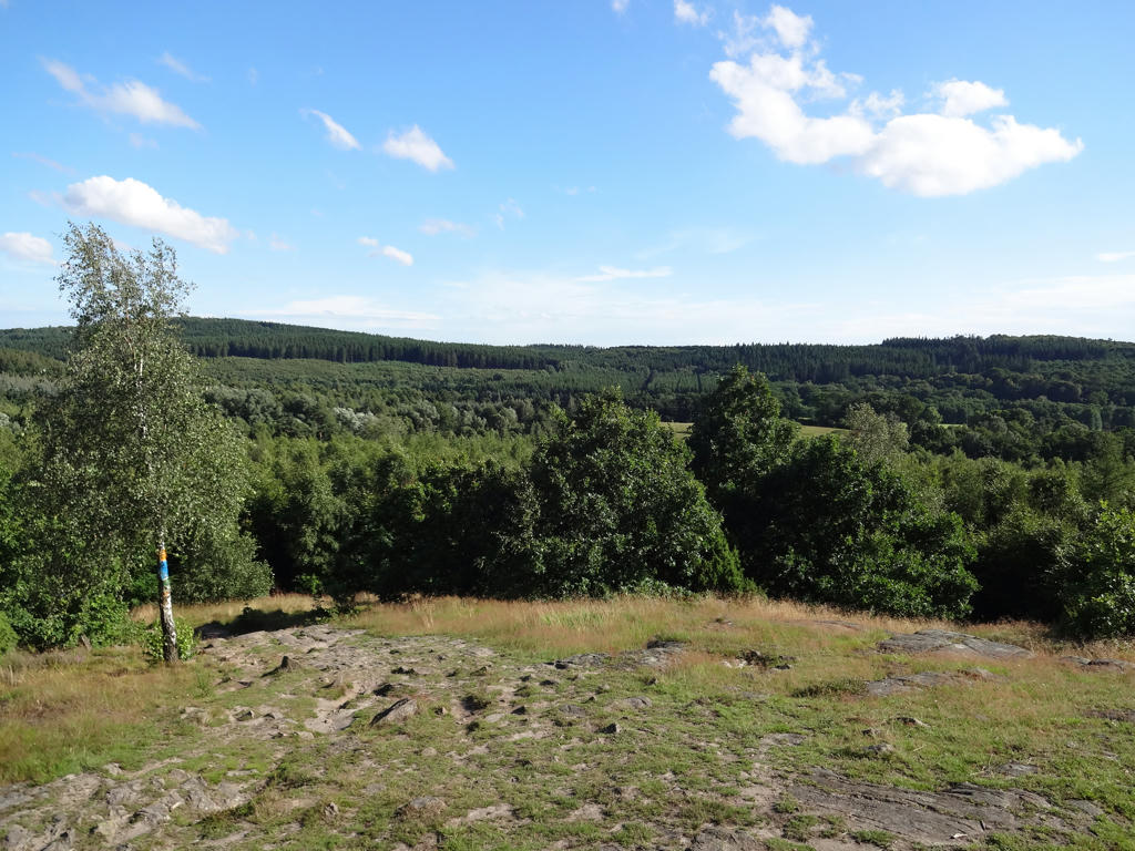
21.
Before Torna-Hällestad the trail goes on a series of boulder-ridges. This part of the walk was pretty unique. Increased the contrast for the non-sky parts slightly using the brightness-contrast tool. Also darkened the sky slightly using the levels tool.
22.
Sharpened the photo slightly using unsharp mask.
23.
Remains of the Torna-Hällestad train station.
24.
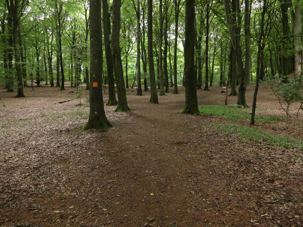
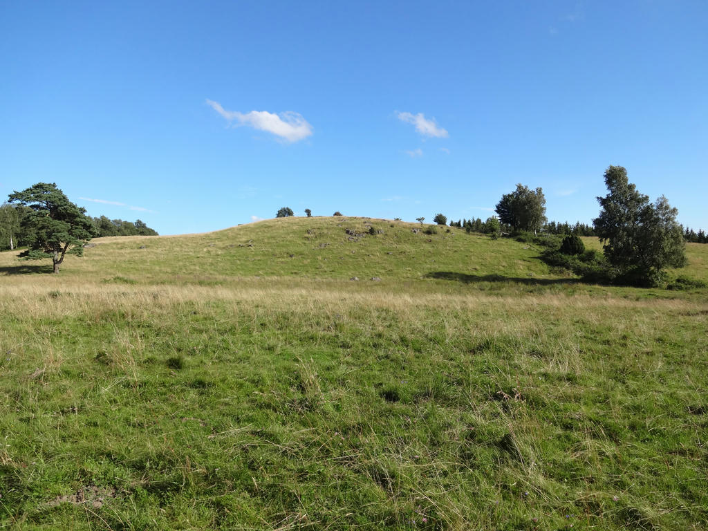
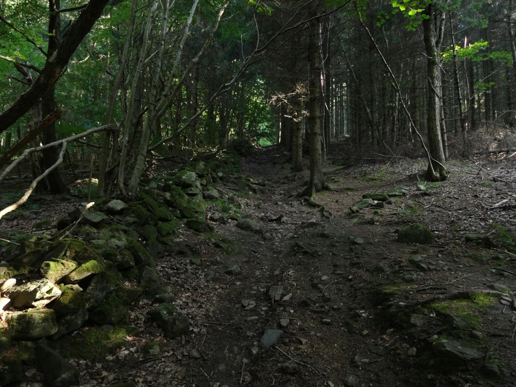
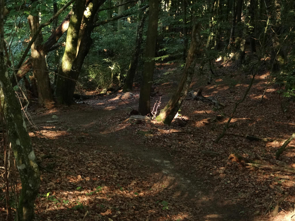
In the Torna-Hällestad nature reserve.
25.
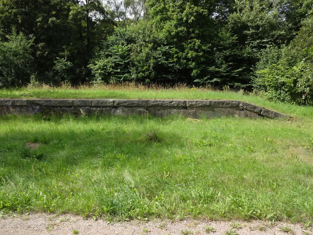
Pasture in the Knivsås-Borelund nature reserve. Sharpened the photo slightly using unsharp mask.
26.
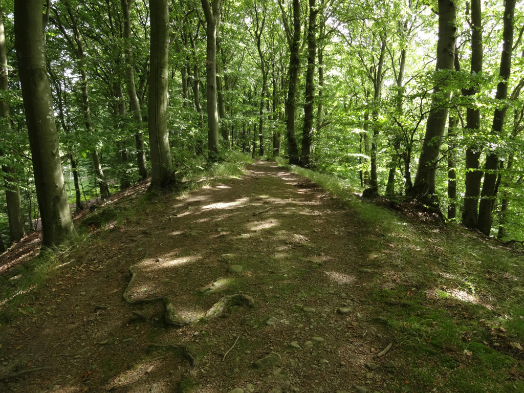
Beech forest in the Knivsås-Borelund nature reserve.
27.
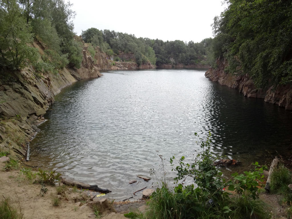
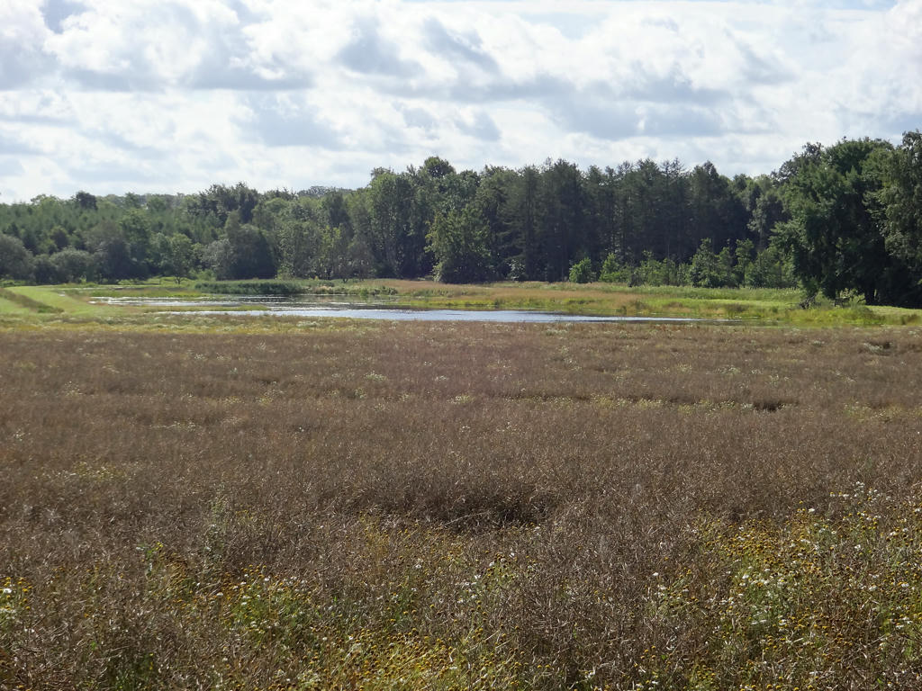
This "lake" in the Knivsås-Borelund nature reserve was created by filling the stone pit with clear and clean water. The stone pit was in use until 1958. Reddish gneiss was mined here.
I used the levels tool to slightly increase the brightness and contrast for the non-sky parts.
I used the levels tool to slightly increase the brightness and contrast for the non-sky parts.
28.
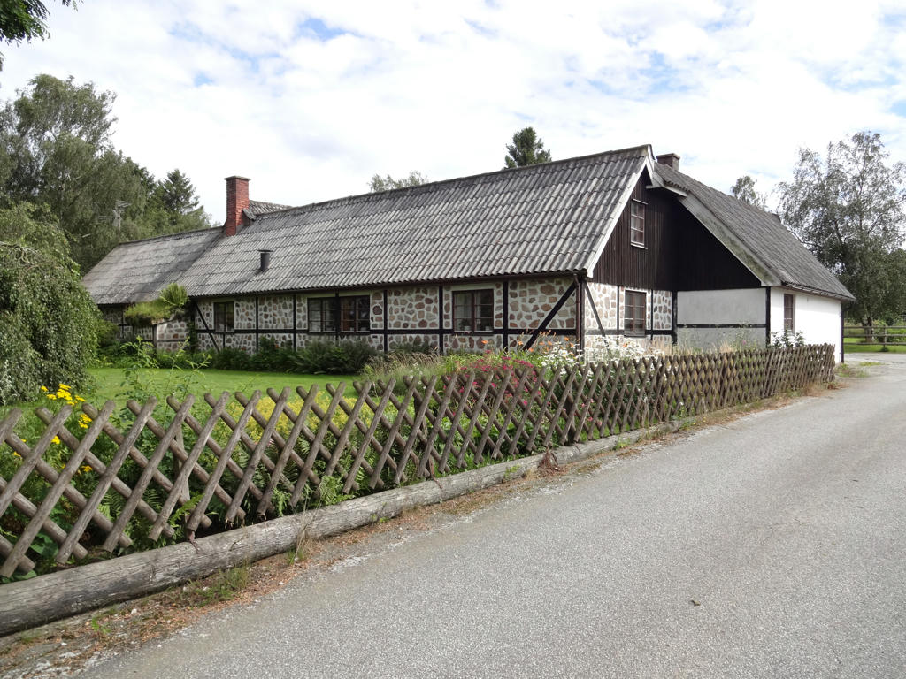
Stone houses of this type seem to be uncommon in Sweden outside of Skåne. Increased the contrast slightly using the brightness-contrast tool.
29.
In the Högebjär nature reserve. Rotated the photo slightly and cropped it. I've also sharpened the photo slightly using unsharp mask.
30.
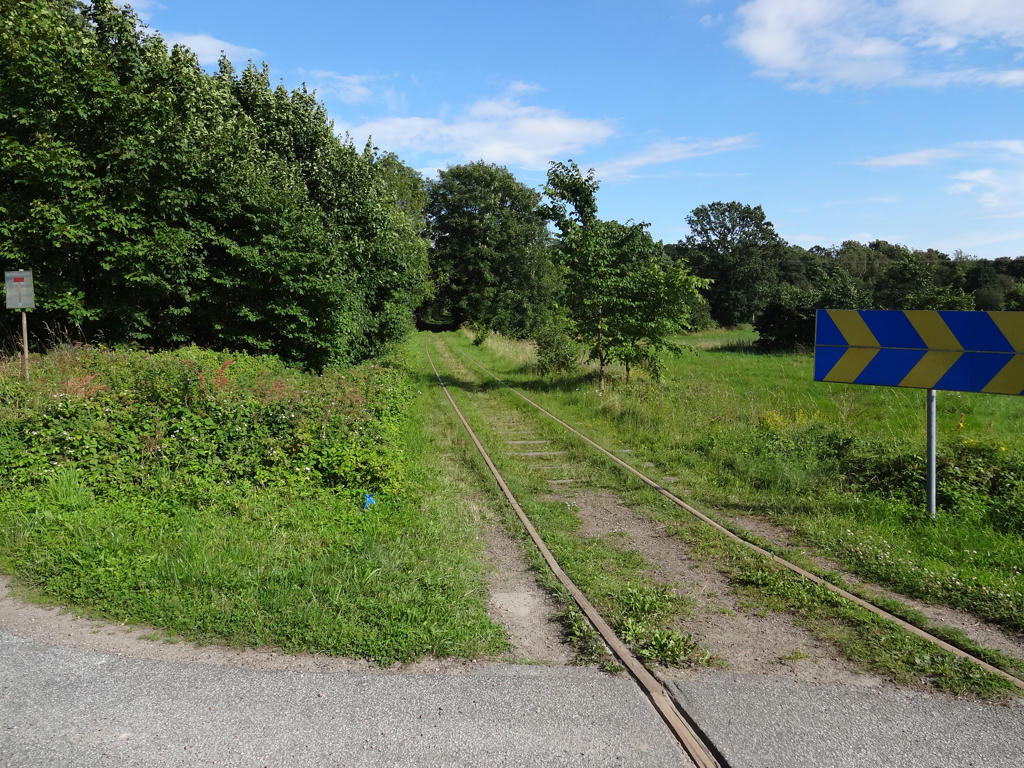
Old train tracks in Björnstorp. Although there are no trains going here nowadays, one can go draisine cycling on these train tracks.
31.
32.
33.
34.
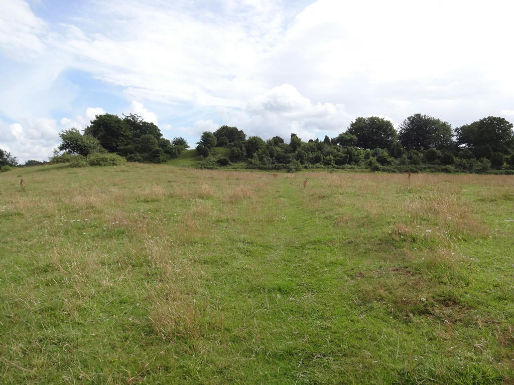
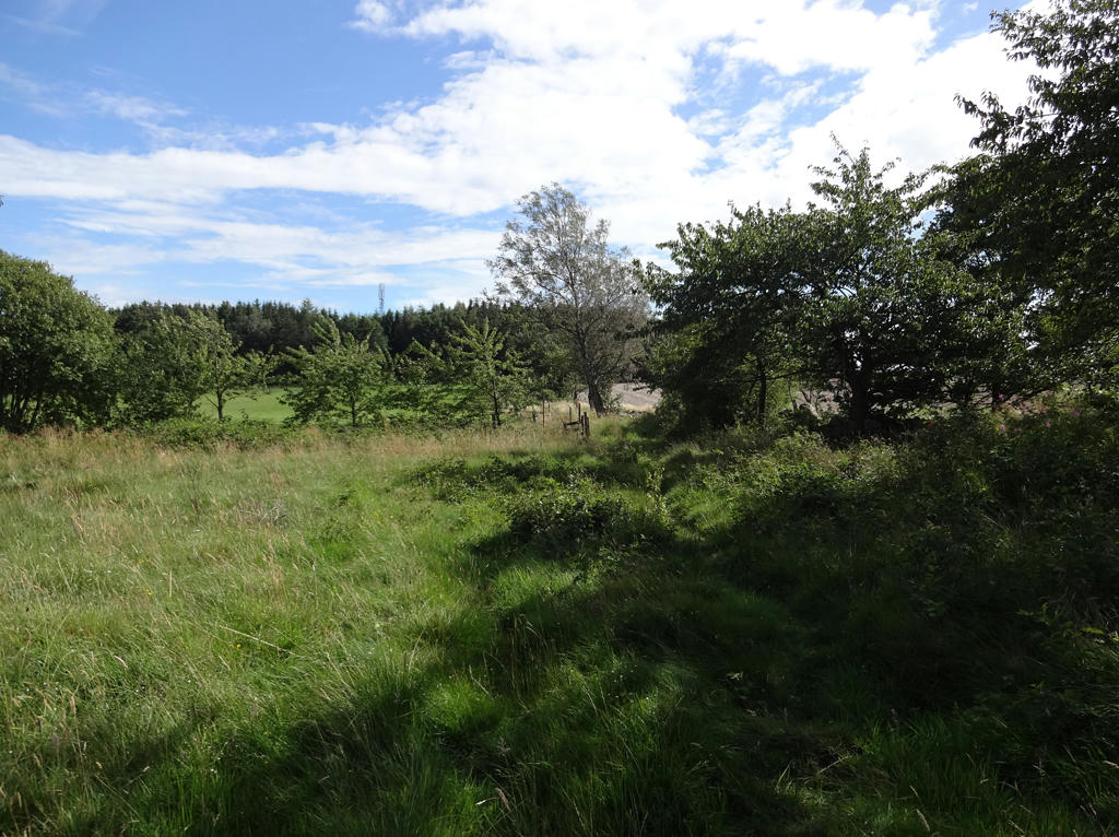
View from Väderkullen. Used the hue restorer plug-in to reduce the cyan-ish sky color.
35.
36.
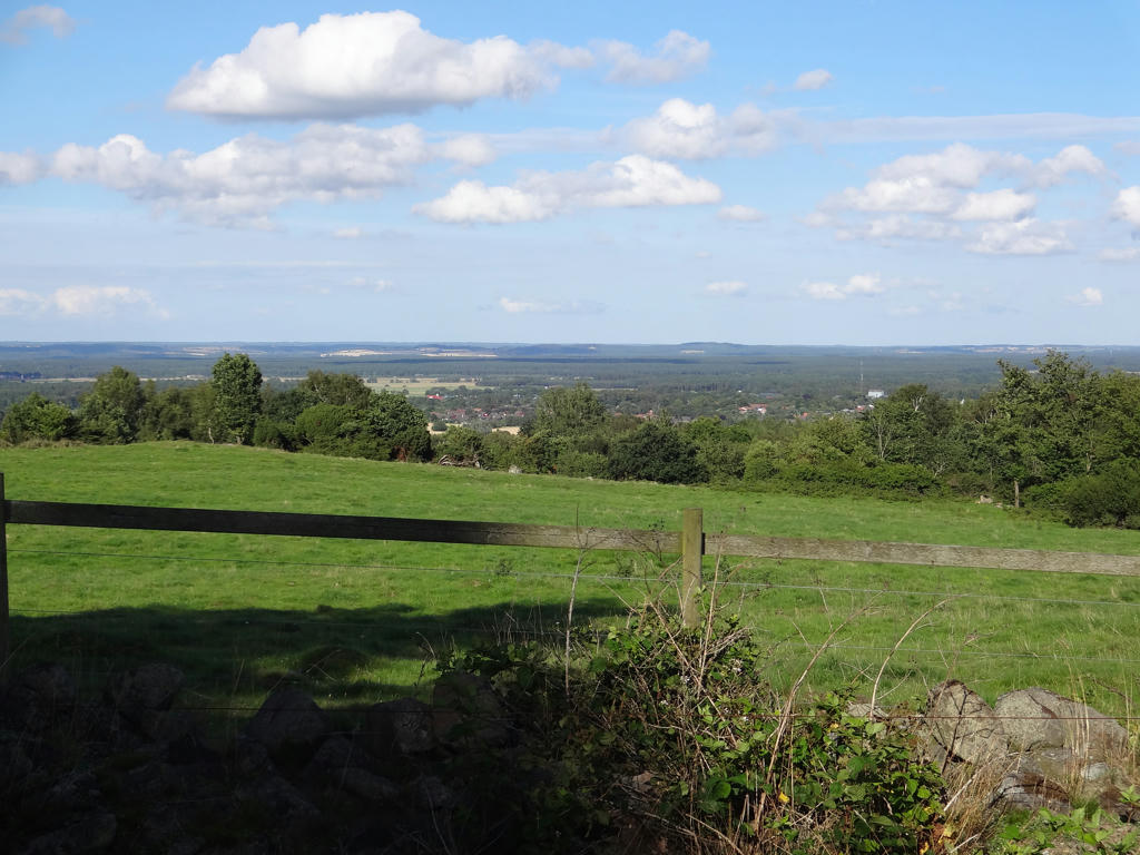
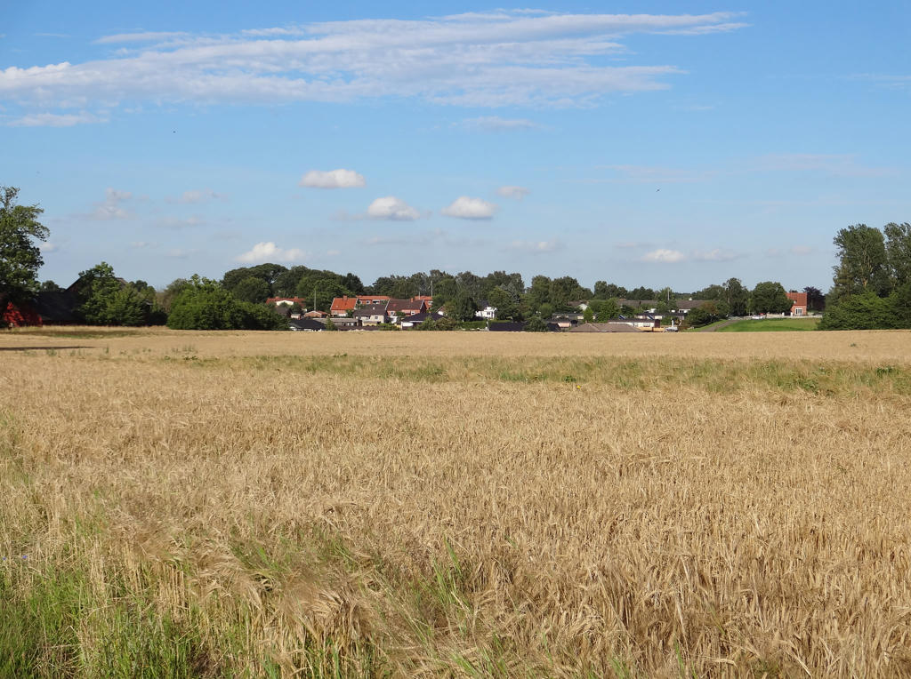
View of Veberöd from Romeleåsen.
37.
Going up to Gökabacken. At Gökabacken, Skåneleden is split between the 2km part going to Veberöd and the rest of Skåneleden going south.
38.
Sharpened the photo slightly using unsharp mask.
39.
View of Veberöd. Rotated the photo slightly and cropped it.
40.
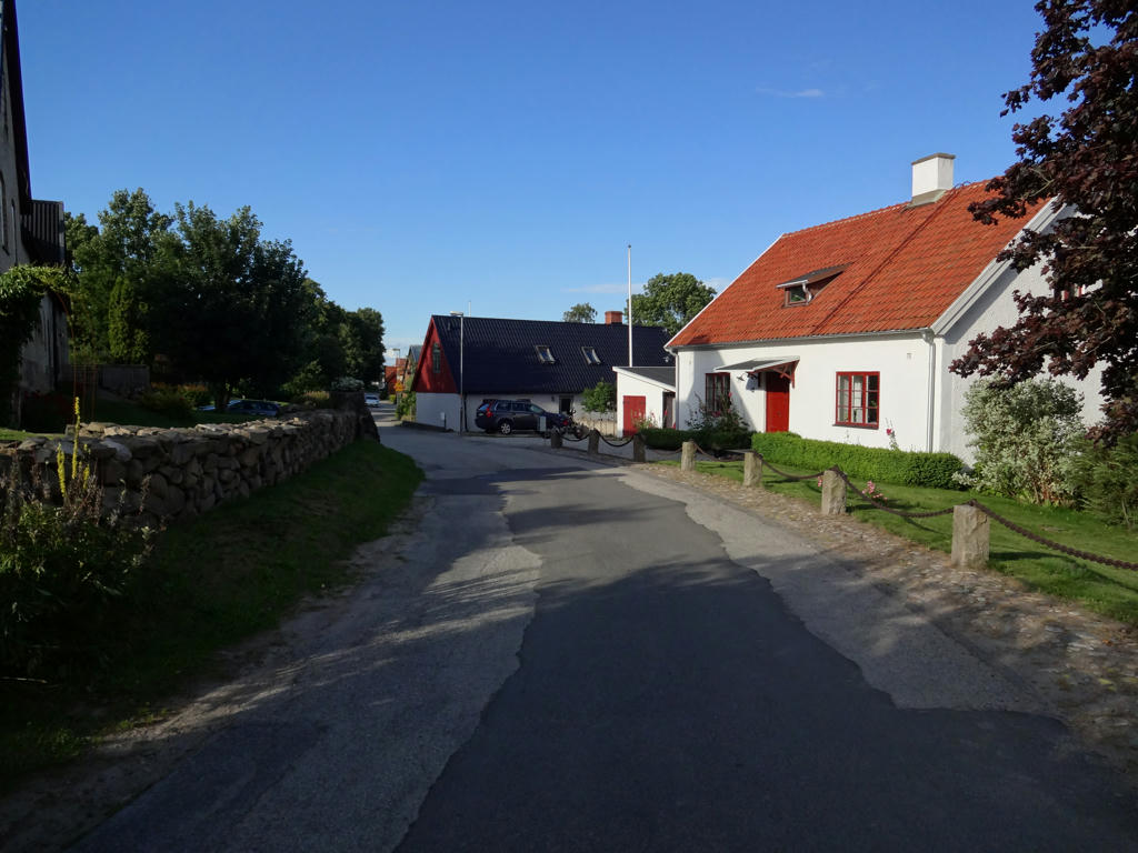
In Veberöd.
Inga kommentarer:
Skicka en kommentar