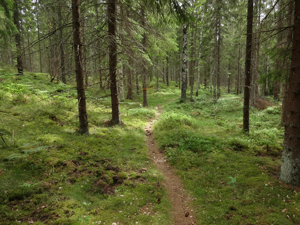
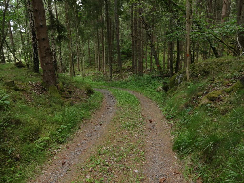
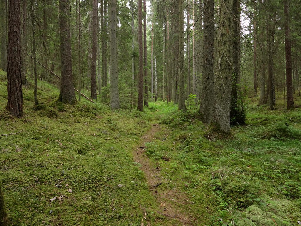
One of the reasons that I walked so slow was that the trail went mostly on footpaths and only to minor extent on gravel or tractor roads. However, a more important reason was because I didn't want to rush the walk to enjoy it as much as possible and also to take many photos. It's true however that some of the parts of the walk were not the easiest to walk through as the footpaths were somewhat narrow and had many rocks or roots on them. On the other hand the terrain was quite flat for the most part (there weren't any dramatic height changes for the most part). I also took the wrong path near Undenäs and got a bit lost but that was just a minor time loss.
In any case it was a really interesting walk for the most part. As is the case for all of the parts of Bergslagsleden and Västra Vätterleden between Ramundeboda and Forsvik, the trail goes through the Tiveden forest area for the most part. In this case however it mostly goes through areas that are used for forestry rather than through the mostly untouched areas of Tiveden (with a few exceptions such as for instance the Valekleven/Ombo Islands nature reserve). In any case, many parts of the trail go through beautiful forests. There are several smaller lakes on the path but the main highlight is walking next to Vättern (Västra Vätterleden also goes near Vättern in Hjo and in Fagerhult). Other than that it can be noted that it was somewhat cloudy for most of the day but it still was relatively warm.
Enjoy the photos!
1.
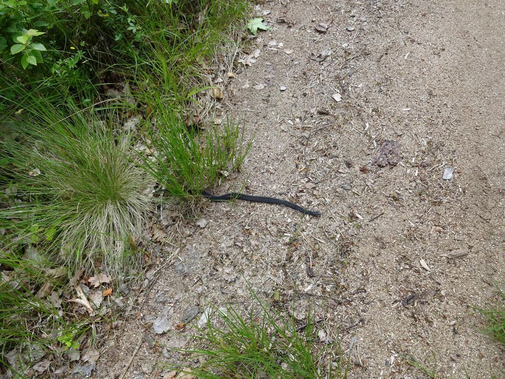
Viper
2.
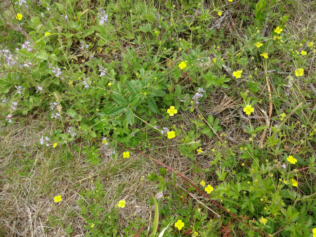
3.
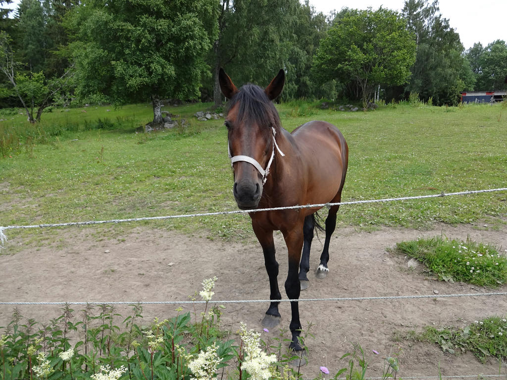
Horse at Hundsbölet. Sharpened the photo slightly using unsharp mask.
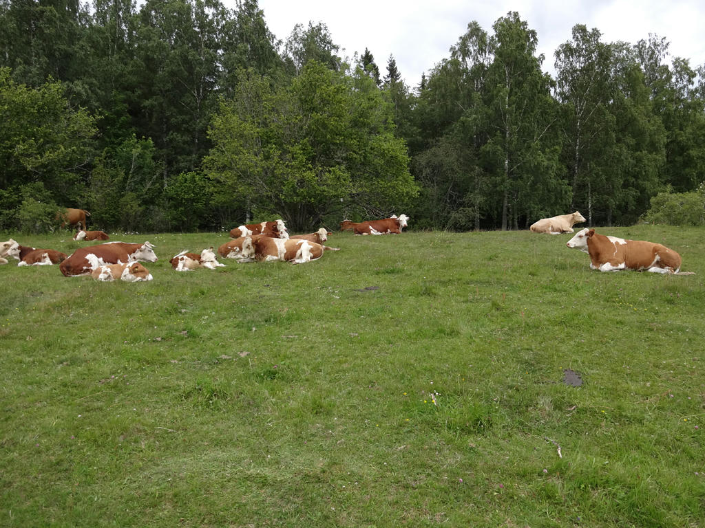
4.
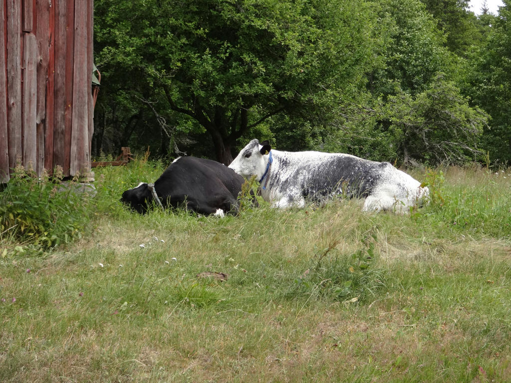
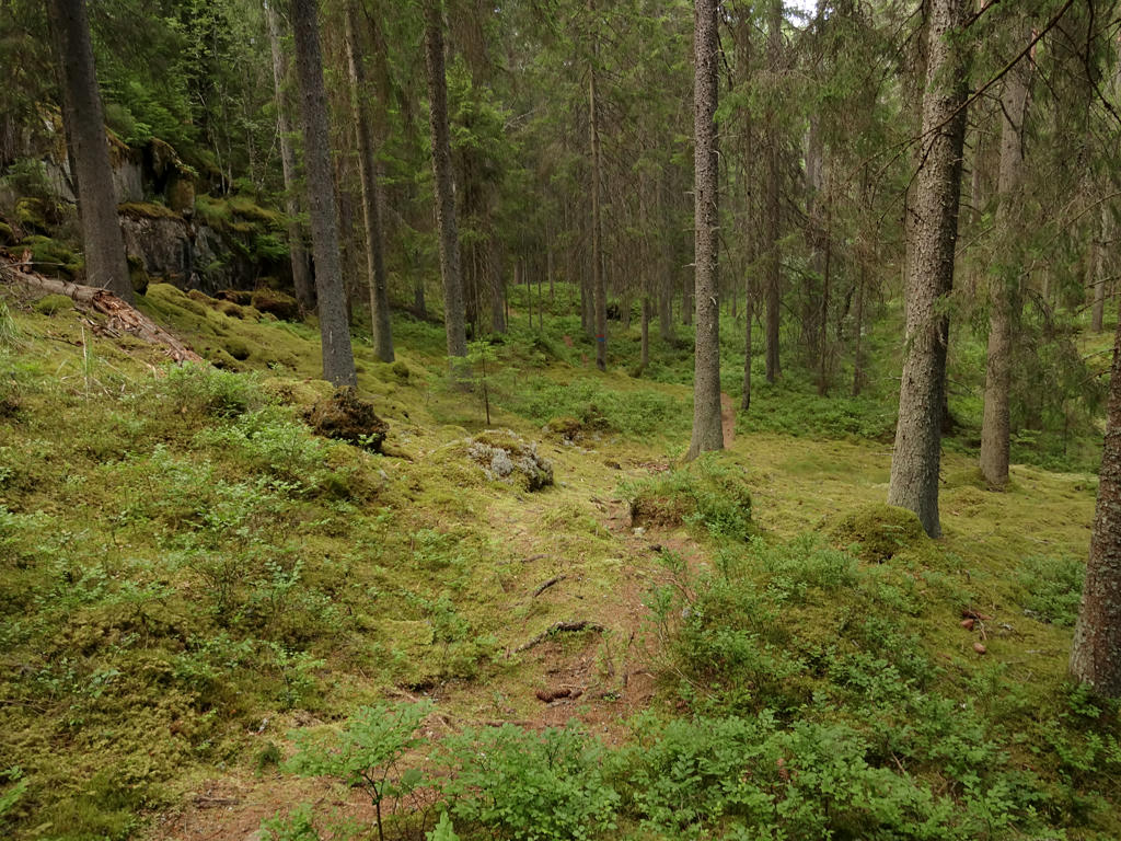
Cows at Hundsbölet.
5.
Sharpened the photo slightly using unsharp mask.
6.
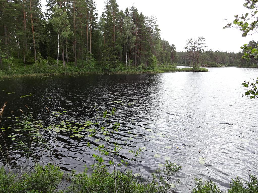
Björklången. Used the Brightness-Contrast tool to increase the brightness and contrast slightly. Then I sharpened the photo slightly using unsharp mask.
7.
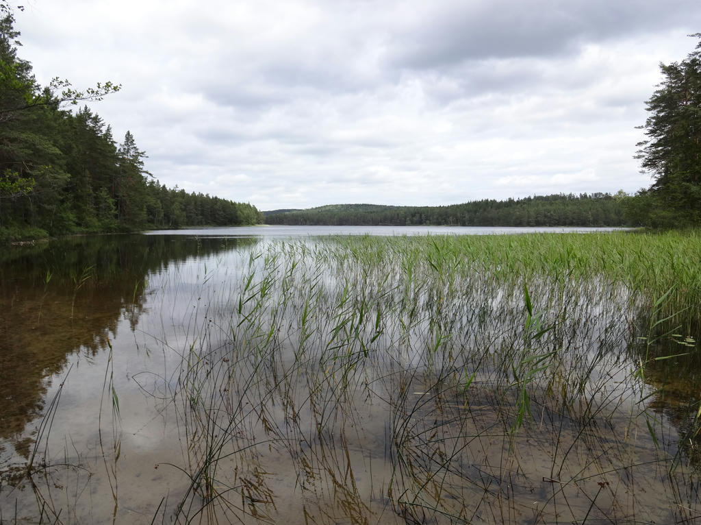
Stora Kalven. Rotated the photo slightly and cropped it.
8.
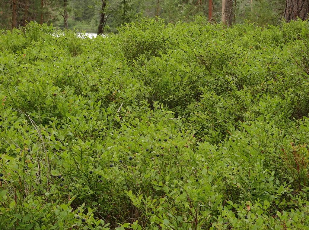
Plenty of blueberries. Rotated the photo slightly and cropped it. Also sharpened the photo slightly using unsharp mask.
9.
10.
Bölskullen nature reserve
The steep hill of gravel is a so called boundary plateau (randplatå) from the ice age. The area was covered by the Baltic Ice Lake, whose surface lied at the same level as Bölskullen's upper surface. When the ice sheet moved north the ice lake got new outflows and the water surface decreased by about 26 meters. The deposition of gravel and sand continued on that level. Due to the isostatic uplift (landshöjning) the area now lies 130 meters above the sea level and Bölskullen is located 156 meters above the sea level. The lakes around the hill are glacial kettles.
Used the Brightness-Contrast tool to slightly increase the contrast and slightly decrease the brightness.
11.
A glacial kettle near Bölskullen. Rotated the photo slightly and cropped it. Then I darkened the sky slightly using the levels tool. I also increased the contrast for the non-sky parts slightly using the Brightness-Contrast tool. Finally I sharpened the photo slightly using unsharp mask.
12.
Sharpened the photo slightly using unsharp mask. Also used the Brightness-Contrast tool to slightly increase the contrast.
13.
Grazing cattle at Bölets ängar nature reserve.
"The meadows in the Bölet nature reserve are a fertile area in the otherwise barren Tiveden.
The open limestone-rich soil attracts the field gentian, the lesser butterfly orchid, the twayblade and other flowers that are normally difficult to find in the north-eastern corner of Västergötland. The birds include southern species like the spotted nutcracker and the hawfinch.
The meadows at Bölet are also an outpost for the rare rattle grasshopper. It is easy to find your way in this nature reserve. A rambling track runs through virtually the entire area. You may come across grazing animals."
Sharpened the photo slightly using unsharp mask.
14.
15.
Increased the contrast slightly using Brightness-Contrast tool. Then I sharpened the photo slightly using unsharp mask.
16.
Increased the contrast slightly using the Brightness-Contrast tool.
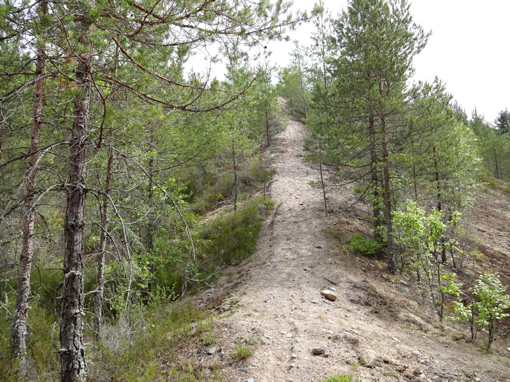
17.
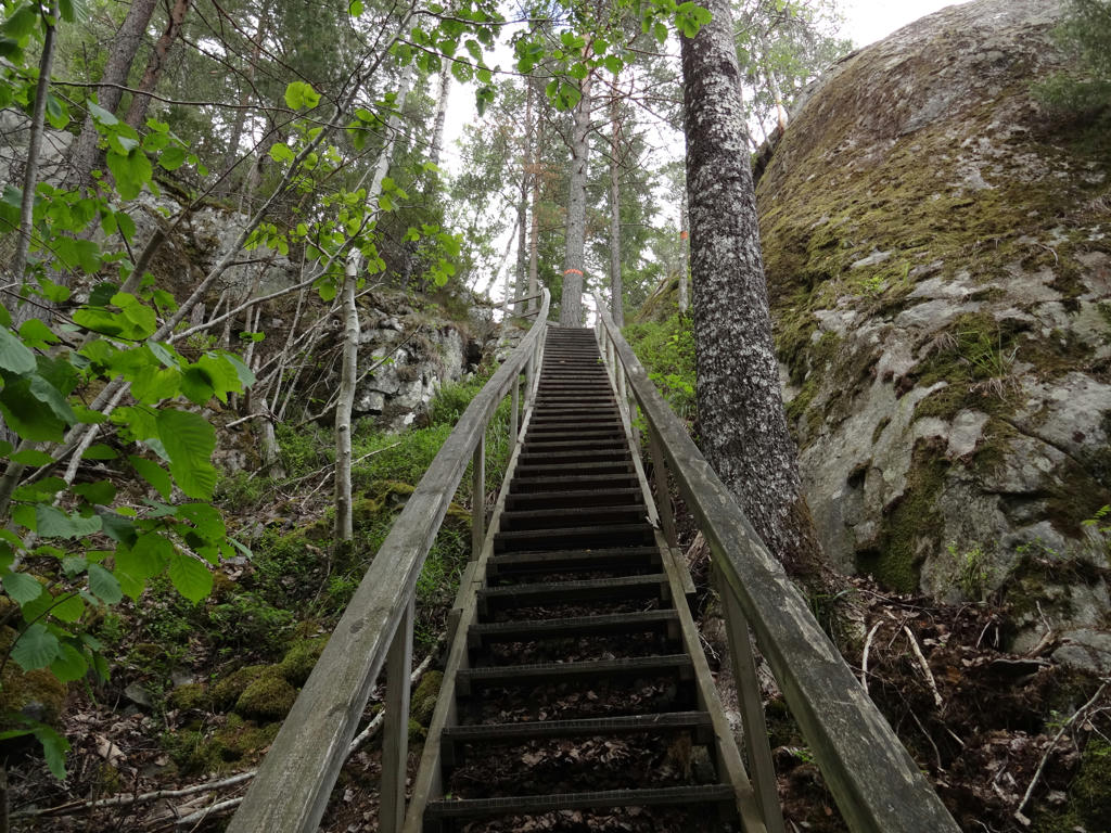
Going up Valekleven.
18.
Vättern. For the non-sky parts I slightly increased the contrast using the Brightness-Contrast tool.
19.
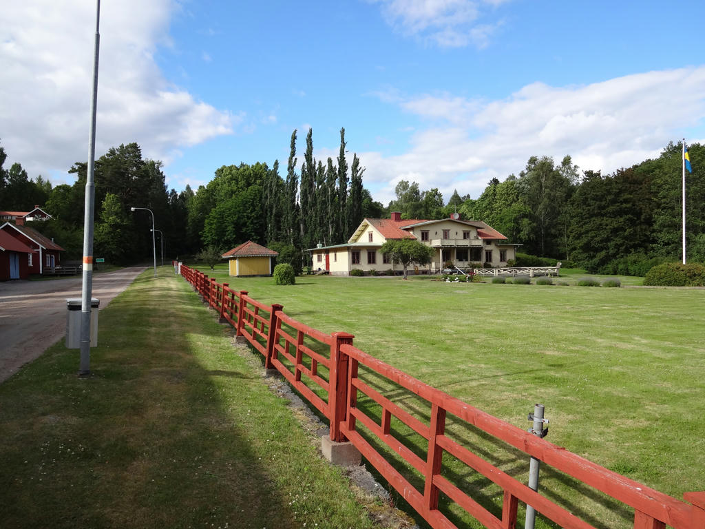
Granvik's mansion
20.
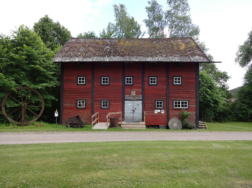
Granvik's museum. Rotated the photo slightly and cropped it.
21.
Sharpened the photo slightly using unsharp mask.
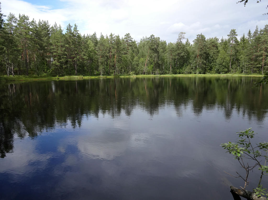
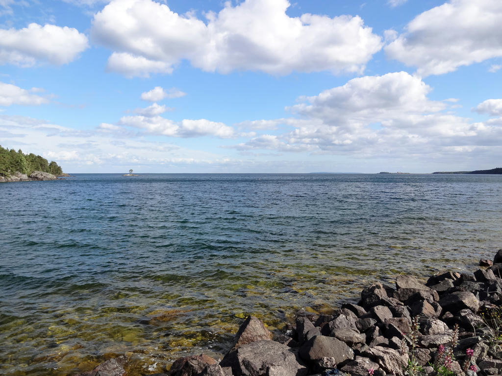
22.
Vättern
23.
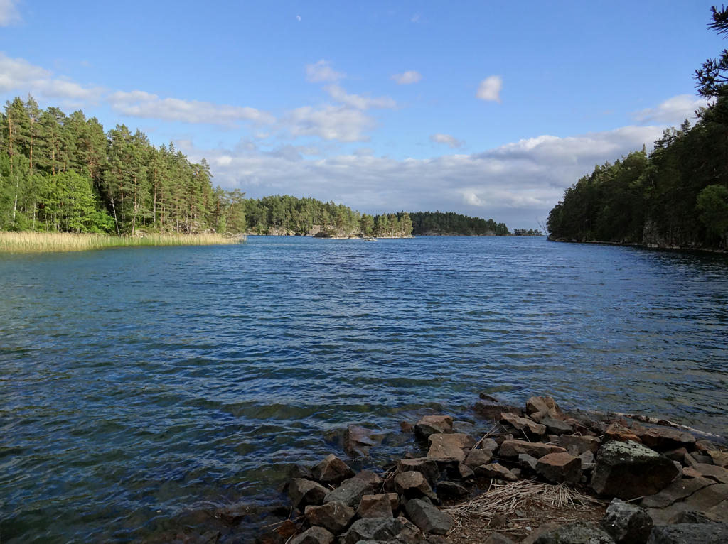
Vättern. Used the curves tool to brighten the non-sky parts slightly. Then I used the Brightness-Contrast tool to slightly increase the contrast for the non-sky parts. Finally I sharpened the photo slightly using unsharp mask.
24.
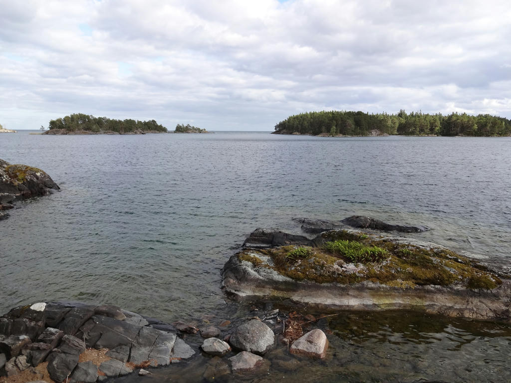
Part of the Valekleven/Ombo Islands nature reserve. Sharpened the photo slightly using unsharp mask.
25.
Håketjärnarna nature reserve. Sharpened the photo slightly using unsharp mask. Also used the levels tool to slightly increase the contrast and slightly decrease the brightness.
Inga kommentarer:
Skicka en kommentar