In any case I once again got a ride to Rödmossen and I started the walk at 10:01. I first walked 8.5km to reach Sixtorp where the start of stage 13 is and then 18km further to walk the entire stage 12. Thus in total I walked 26.5km, which took me in total 9h34mins. My average speed was therefore 2.77km/h, making it the slowest Bergslagsleden walk so far. The main reason for this slow speed was because there were many points of interest on the path and also because I took many photos (and as has been the case with the other Bergslagsleden walks I didn't want to rush things). Much of the trail went on footpaths but there were also plenty of segments going on gravel roads. In any case, I got a ride home by car once I finished the walk.
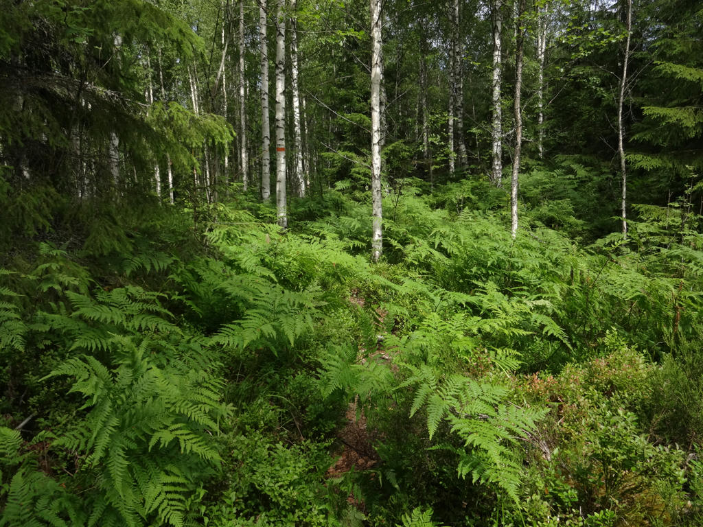
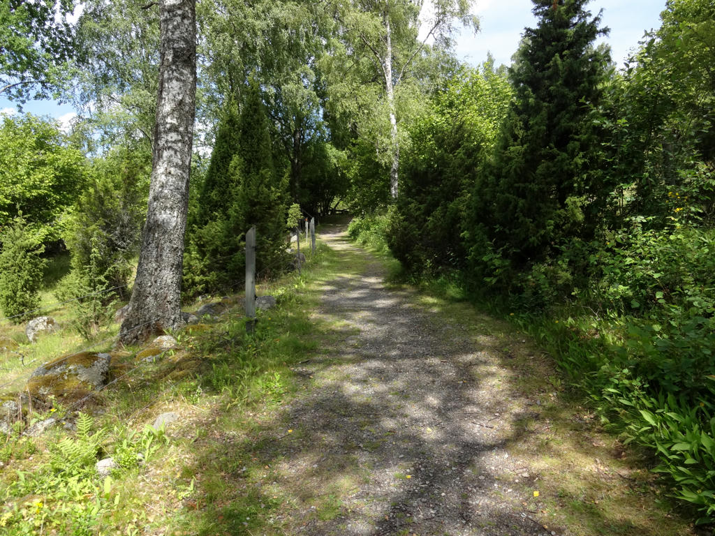
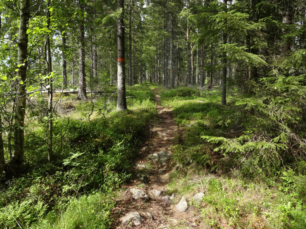
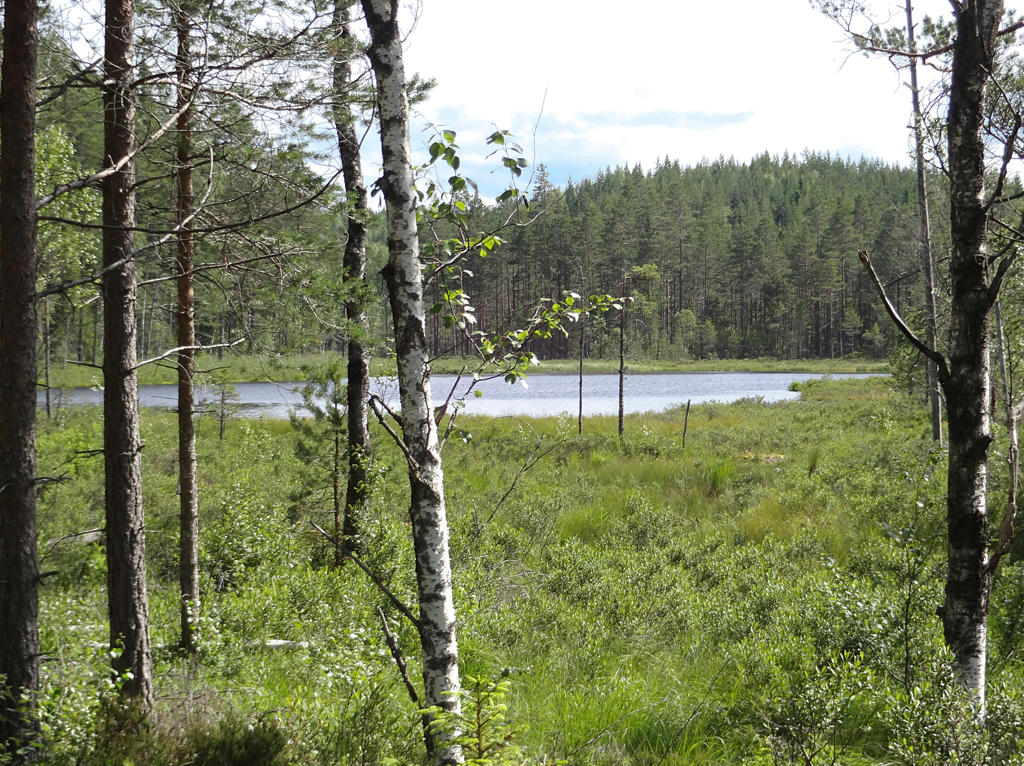
Anyways, there are many similarities to the other Bergslagsleden walks but also many differences. This walk in particular exemplifies one of the main cultural/historical characteristics of the region (and the Bergslagsleden trail in general), namely that there was a lot of mining and also many furnaces. Another important characteristic of the walk is that there is a somewhat large variety of forest types (although there weren't really any fine sand forests (moskog/tallmo)). Furthermore there is a variety of lakes on the path. Unlike Bergslagsleden Walk #3 between Rödmossen and Ramundeboda however, this walk didn't go as much through desolated regions and thus didn't give the same feeling of desolation/isolation. One of the highlights of the walk is that there are three nature reserves on the path: Sixtorp, Stenbäcken and Båsbergen. Another highlight was seeing so many animals: I saw two hares, two squirrels, an elk and a slowworm. However, I only managed to photograph the slowworm. In theory I could also have come across for instance a lynx, a beaver or a wolf but I wasn't that lucky. Finally it can be noted that the weather was good (it was pretty warm if I remember correctly), it was a bit cloudier at first but the sky cleared up after a few hours.
Overall it was an interesting walk going through beautiful nature and with an unique feeling to it. Enjoy the photos!
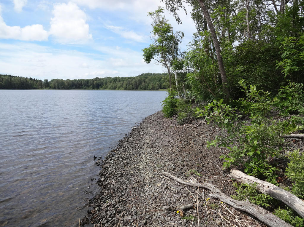
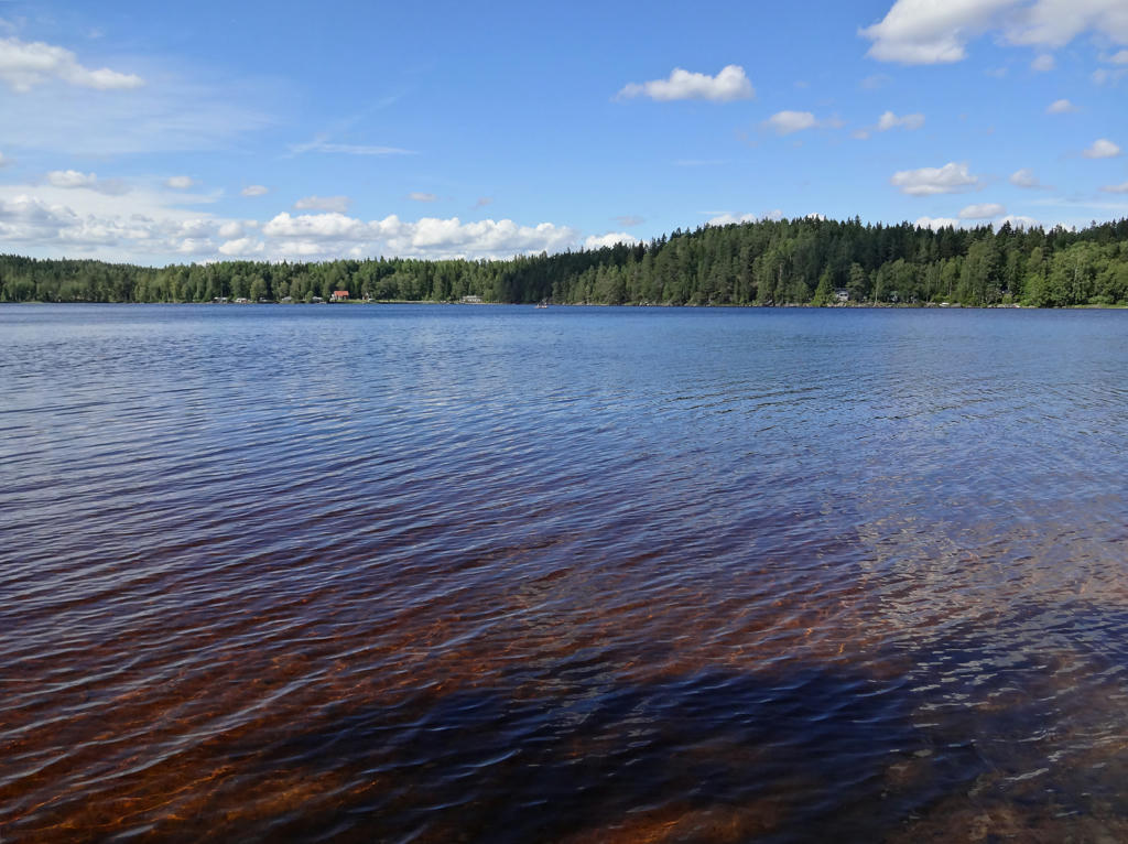
1.
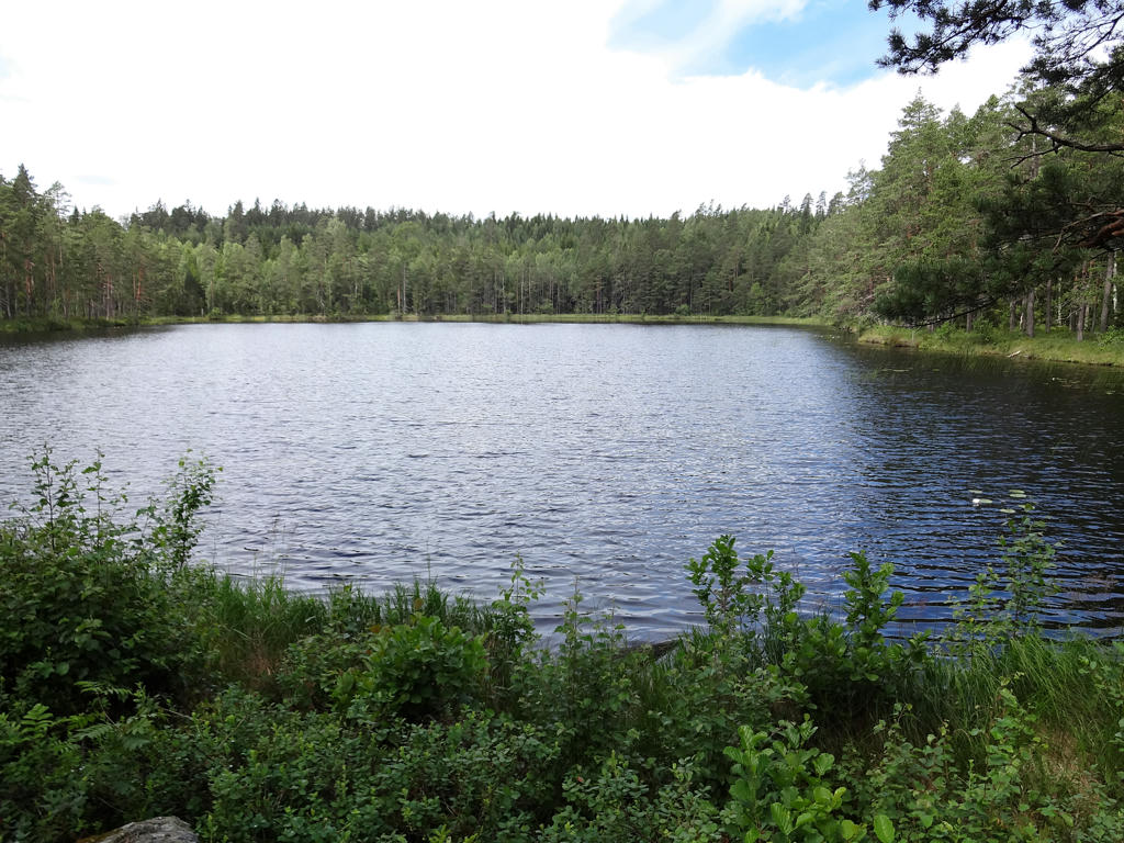
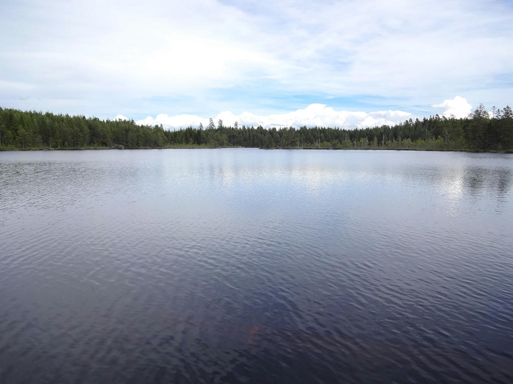
"Tunntappen - the mysterious lake
Tunntappen lake is said to behave exactly as the name implies: without warning the water empties out just as when one pulls the plug of a barrel. This emptying of the lake happens very quickly and as the story says it 'rumbles in the hill'.
There is nobody in modern times who has actually witnessed this sudden draining of the water. However, a person who regularly walks on Bergslagsleden can confirm that the lake is full sometimes and sometimes it is completely empty!
The normal outlet for Tunntappen is through the stream that Bergslagsleden crosses on a bridge. When the water is low and dries out, one can see that the water disappears under the ground below the rock that is situated immediately southwest of the bridge. This water probably runs underground and comes out a powerfully flooding spring about 25m downstream in the dry watercourse.
One attempt to explain the sudden emptying suggests that an underground drain is blocked by a large ice blockage. When the ice melts and loosens, an under pressure develops and this quickly empties the lake."
Sharpened the photo slightly using unsharp mask. Also used the brightness-contrast tool to slightly decrease the contrast and slightly increase the brightness.
2.
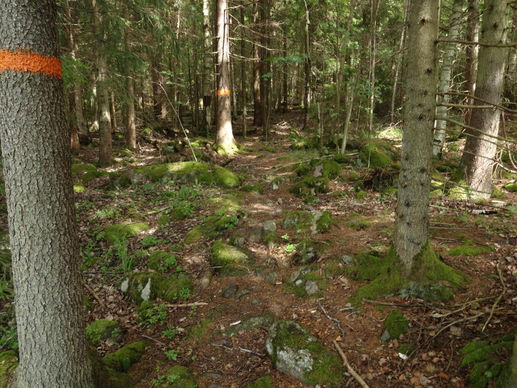
On the lower right side of the photo there are signs of digging done by boars (at least I suspect that's the case). Sharpened the photo slightly using unsharp mask.
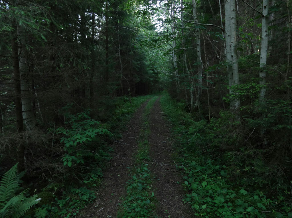
3.
4.
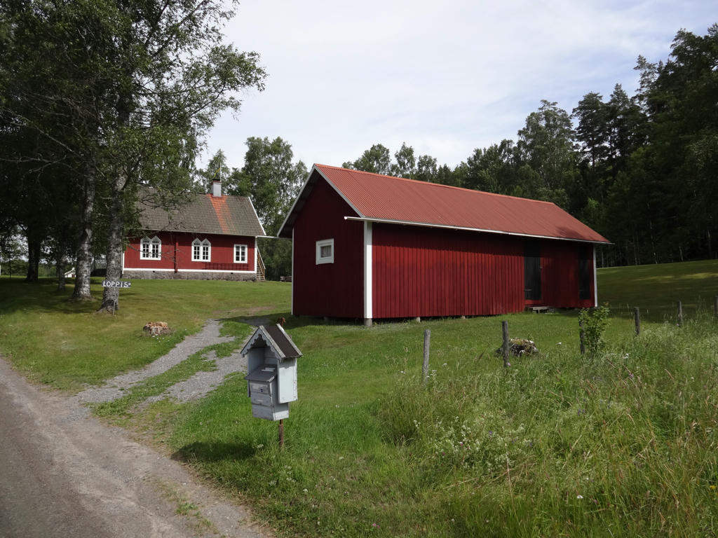
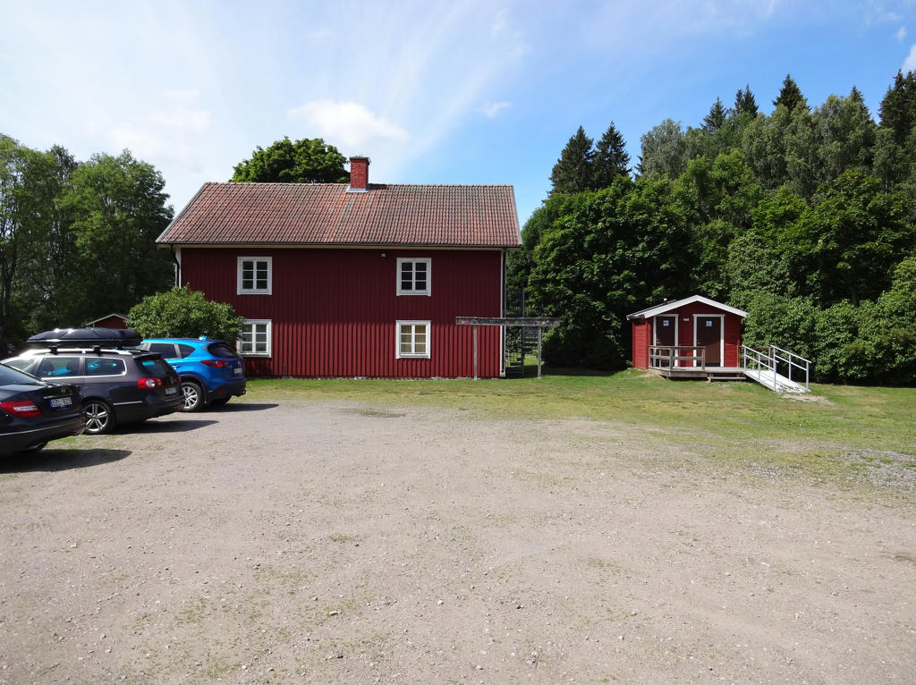
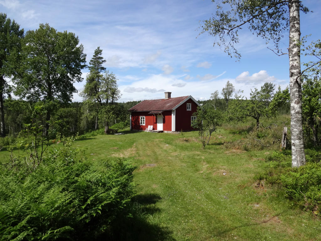
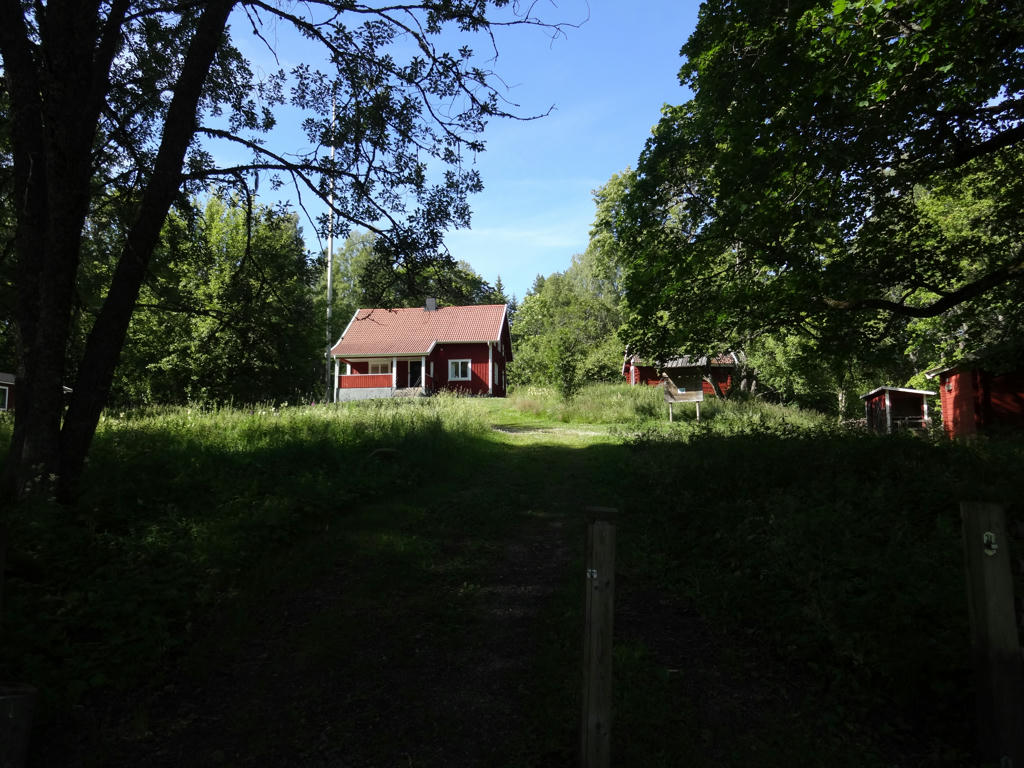
Heritage centre in Tryggeboda (main building on the left side)
Tryggeboda is one of the few larger villages in the Kilsbergen region which haven't arisen around a blast furnace / smelting-works. Instead, the village arose due to the good farming conditions.
Darkened the sky slightly using the levels tool.
Tryggeboda is one of the few larger villages in the Kilsbergen region which haven't arisen around a blast furnace / smelting-works. Instead, the village arose due to the good farming conditions.
Darkened the sky slightly using the levels tool.
5.
Stora Kotjärnen. Used the hue restorer plug-in to reduce the cyan-ish sky color. Also darkened the sky using the levels tool. Finally for the non-sky parts I increased the sharpness slightly using unsharp mask and slightly increased the contrast using the brightness-contrast tool.
6.
7.
Remains of Gammelhyttan (foundry's dam)
"There have been about forty foundries in Kilsbergen. One of them was established next to Velamhyttesbäcken during the middle ages. In the year 1638, a new foundry was built here and it operated until 1819, when all production was moved to Mullhyttan.
The visitor can still see the slag heaps in the surroundings, the residue left after the iron was extracted from the ore. One can also see a stone ring approximately 50m to the south of the road that is probably the remains of blast furnace pipe.
On the north side of the road one can see strong walls that are what is left of the foundry's dam. Waterpower was necessary to drive the bellows that blew air into the blast furnace so that the temperature was sufficiently high to smelt the iron out of the ore. At the end of the iron production, the waterpower was used to drive a saw. There is also a mining pit on the north of the road. It shows that Gammelhyttan had the unusual advantage of having ore available nearby; no long transportation was required from the mine to the foundry. Today, the area around Sixtorp is a nature reserve that has parts of the village's old arable fields, meadows and grazing land. A mosaic of grazing pastures and water meadows stretches out on the slopes down towards Multen Lake. Here, there are remains of the enclosures and cairns that remind us of farming in times gone by."
8.
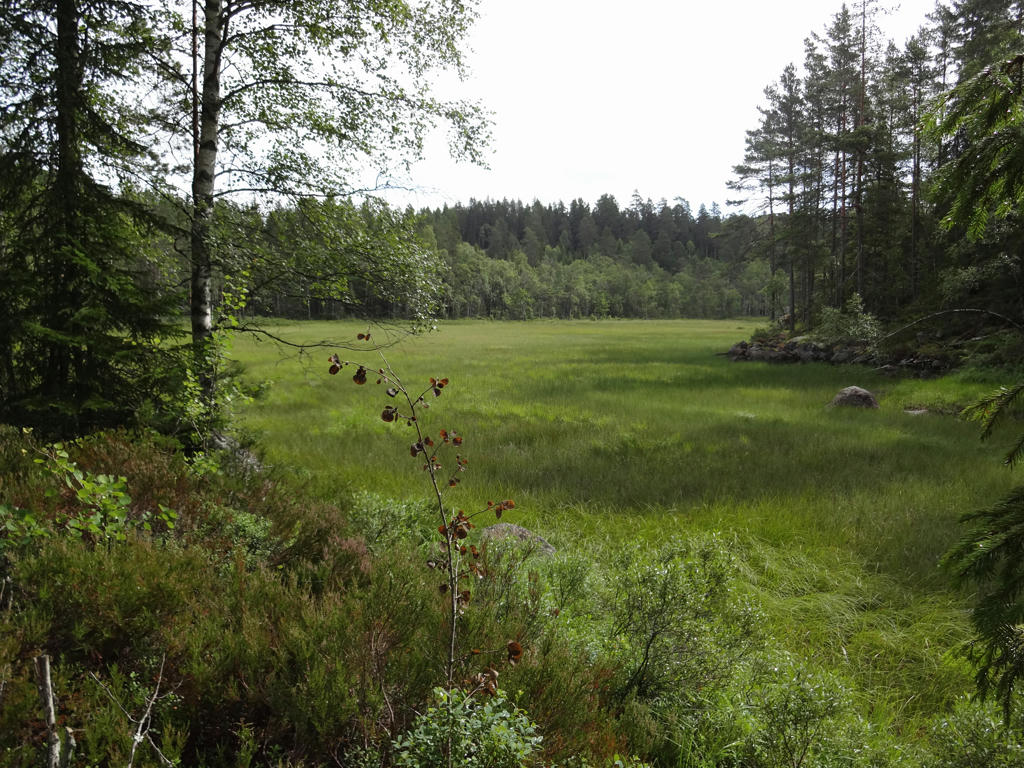
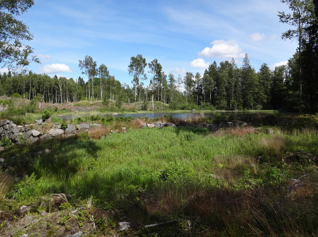
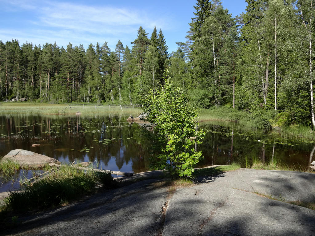
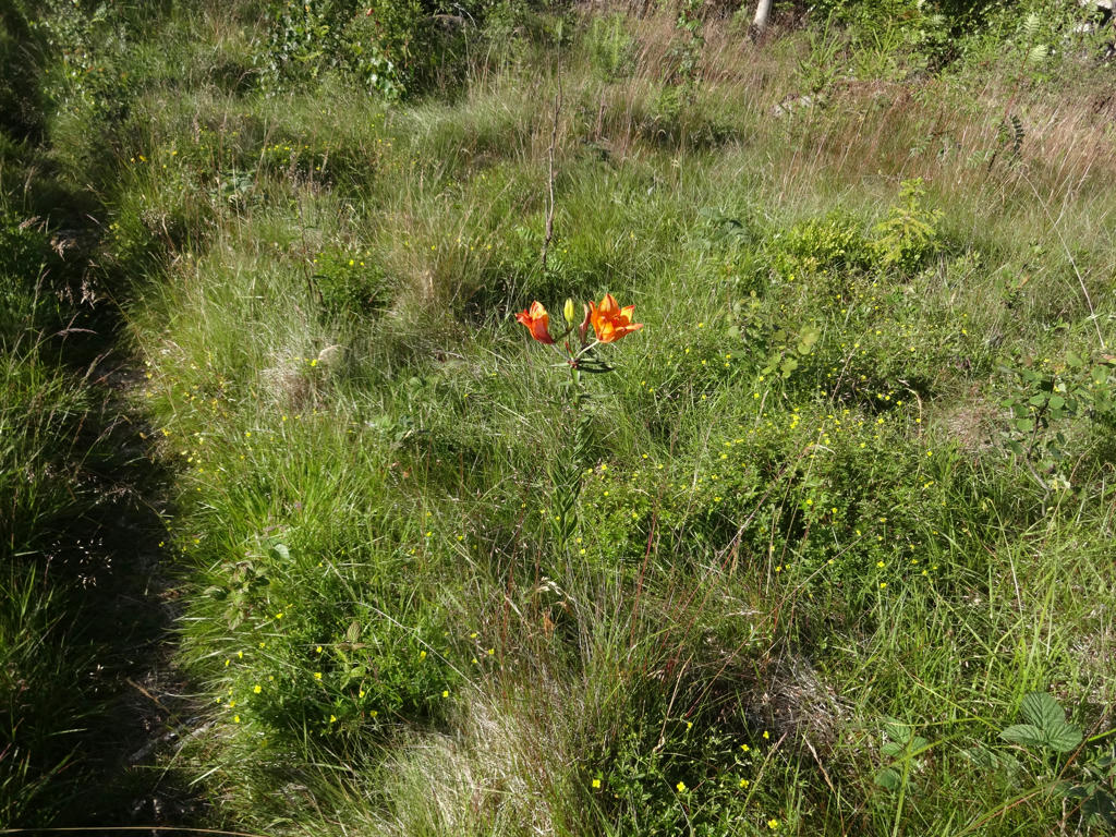
In Sixtorp's nature reserve.
9.
Multen. Rotated the photo slightly and cropped it. Also darkened the sky slightly using the levels tool. Furthermore I used the hue restorer plug-in to reduce the cyan-ish sky color. Finally I brightened the non-sky parts slightly using the brightness-contrast tool.
10.
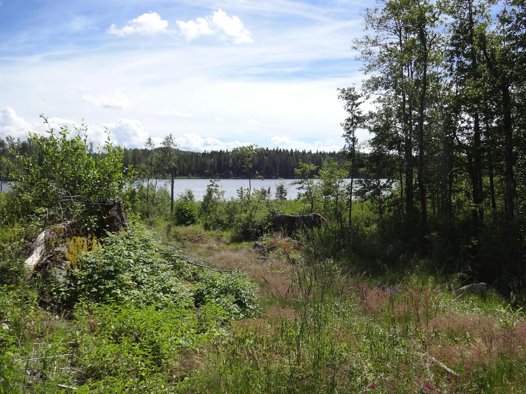
In Sixtorp's nature reserve.
11.
In Sixtorp's nature reserve. Rotated the photo slightly and cropped it. Also darkened the sky slightly using the levels tool and used the hue restorer plug-in to remove the cyan-ish sky color. Finally I brightened the non-sky parts slightly using the levels tool.
12.
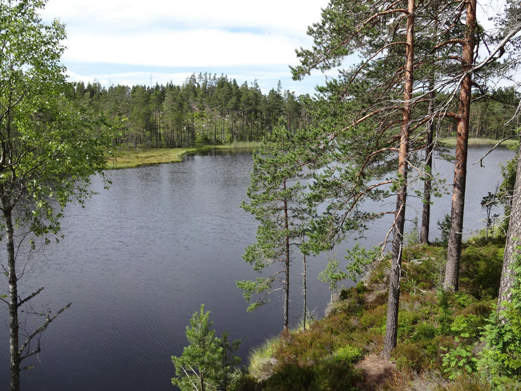
Multen
13.
In Sixtorp's nature reserve. Used the hue restorer plug-in to reduce the cyan-ish sky color. Also darkened the sky slightly using the levels tool. Finally I increased the contrast slightly using the brightness-contrast tool.
14.
Croft belonging to Sixtorp's recreational area. Rotated the photo slightly and cropped it.
15.
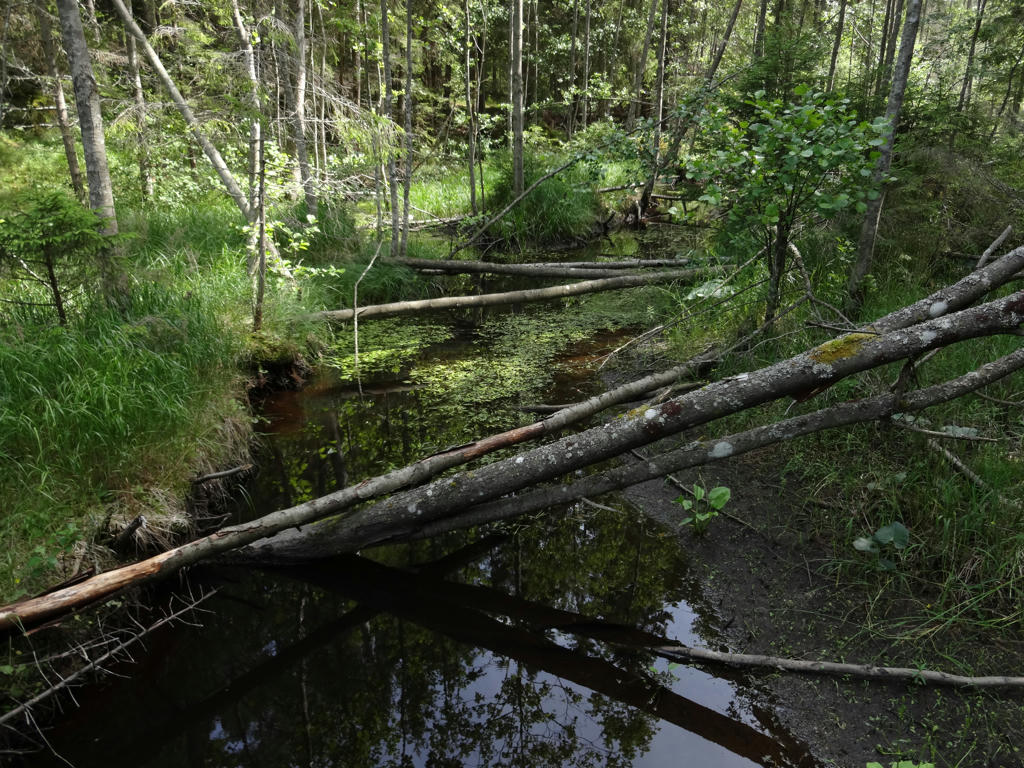
Gammelhyttebäcken. Near the shore of the stream beavers have felled a large number of asps.
16.
"Velamshyttan foundry
Here, Velamshyttan (foundry) was situated where the stream from Lilla Sirsjön forms a small waterfall. The foundry operated during the 1500s and up to 1620 when operations were moved further downstream to Gammelhyttan. The reason for this was a great spring flood that caused the dams to burst and it carried away the water wheel. One can still see a considerable amount of remnants from the installations round the foundry.
Above the site of the foundry , on the opposite side of the road, one can see the impressive remains of stone from the log shute that carried the timber past the drop in Velamshyttan. At the end of the stone shute, a wooden shute continued down to the point where the trail crosses the stream.
When one sees the extensive work that was carried out in order to float the timber in the little stream, it gives an insight into the problems concerning transport in forestry work before the advent of roads and machinery.
In this area that is still today called Lekebergslagen, there was a large number of foundries. A foundry was called a 'hytta' and the place names: Vekhyttan, Mullhyttan, Torhyttan, Ribbohyttan, Lekhyttan, Hällshyttan, Dormhyttan, Kinkhyttan, Klunkhyttan, Brohyttan, Svenshyttan act as a reminder."
Increased the brightness and contrast slightly using the brightness-contrast tool. Also brightened the photo slightly using the levels tool.
17.
Brightened the photo using the levels tool and the curves tool.
18.
"Hjulhusdammen
Here, at the mouth of Lilla Sirsjön, there is an 80 m long dam construction that was made in order to obtain a drop height for an 8 m high water wheel. The power from the wheel was transferred via a 300 m long bar-linkage of the Hagaberg mines, where it was used to drive the pumps and hauling plant. The function of the pumps was to ensure that the mines were not flooded with water. The iron ore was carried up to the ground level by the hoists.
A bar-linkage is a system for transferring energy that was developed in Germany in the sixteenth century. From a water wheel, linked wooden bars are arranged which are axially movable, moving forward and returning, and linked to the objective, for example a pump or bellows. A construction for conversion of the bar forward and return movement to a rotating movement was developed by Christopher Polhem. There is a restored bar-linkage on view at Pershyttan miner's village, immediately south of Nora.
In order to obtain a better water flow, Stora Sirsjön's natural outlet has been dammed up and the water is an excavated canal to Lilla Sirsjön.
The water wheel was dismantled in 1914. Apart from the dam, only the water shute and stone foundation of the wheel house itself remain."
Rotated the photo slightly and cropped it.
19.
Lilla Sirsjön. For the non-sky parts I slightly increased the brightness and decreased the contrast using the brightness-contrast tool and slightly increased the brightness using the levels tool and curves tool. Also slightly increased the sharpness for the non-sky parts using unsharp mask. Finally I darkened the sky slightly using the levels tool.
20.
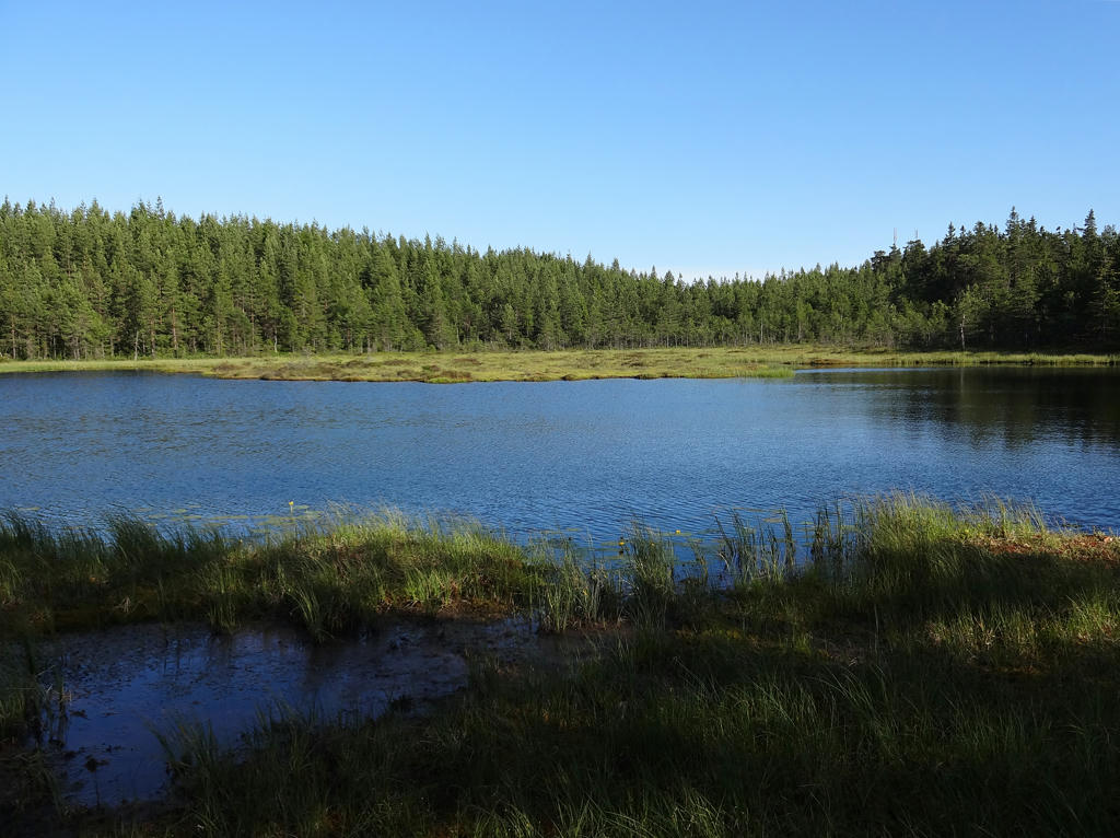
Mörktjärnen. Darkened the sky slightly using the levels tool. Also used the hue restorer plug-in to reduce the cyan-ish sky color.
21.
22.
Abborrtjärnen. Sharpened the photo slightly using unsharp mask. Also darkened the sky using the levels tool and used the hue restorer plug-in to reduce the cyan-ish sky color. Finally I rotated the photo and cropped it.
23.
Flytjärnen. Rotated the photo slightly and cropped it. Darkened the sky slightly using the levels tool. Also used the hue restorer plug-in to reduce the cyan-ish sky color. Finally I sharpened the photo slightly using unsharp mask.
24.
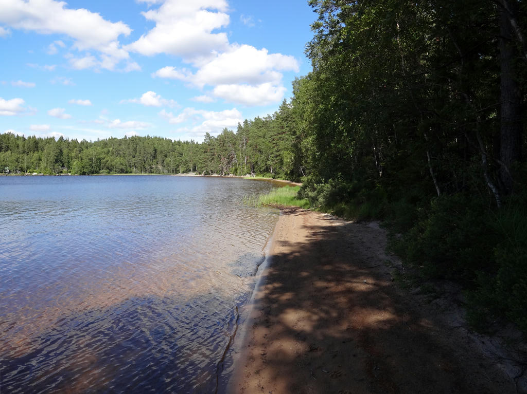
Beach at Lillsjön. This is considered by many to be Kilsbergen's finest wilderness beach. Increased the contrast slightly using the brightness-contrast tool. Also rotated the photo slightly and cropped the photo.
25.
Lillsjön. Rotated the photo slightly and cropped it. Also sharpened the photo slightly using unsharp mask.
26.
Lillån. Increased the contrast slightly using the brightness-contrast tool. Also sharpened the photo slightly using unsharp mask.
27.
28.
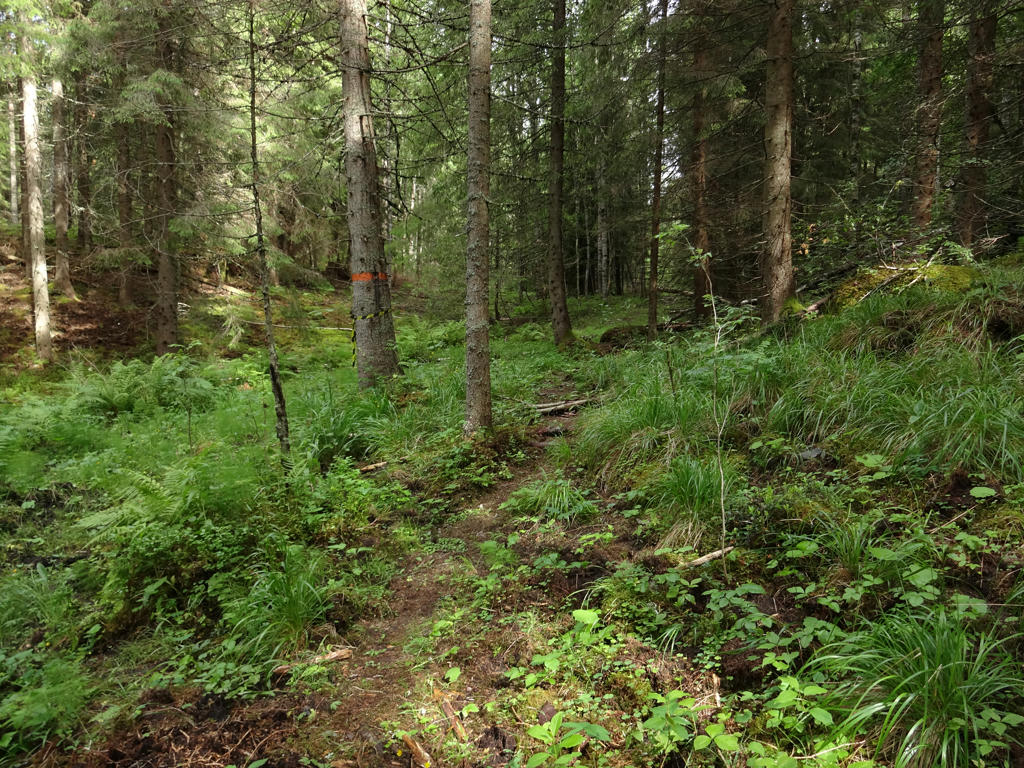
Croft belonging to Stenbäcken's recreational area.
29.
30.
In Båsbergen nature reserve
"Båsbergen's forests are old, with a significant interspersion of deciduous trees. The oldest pine trees are almost 300 years old. Tall spruce forest grows in the valleys. In the reserve, there are many rare species that require old, untouched forest for their survival. Heller's notchwort and green shield-moss grow on the coarse, decaying fallen spruce trees, and globe ball lichen and vitt tube lichen grow on stones. The bird fauna consists of e.g. capercaillie, hazel grouse, black woodpecker and the rare three-toed woodpecker. Small areas of the reserve have been cleared in modern times, but in the past the forest was managed with small-scale methods. Over the years, the forest has probably been thinner, but never bare. Timber and firewood was taken for household requirements and the cattle grazed in the forest. Charcoal was made for the local foundries and ironworks. There are several remains of charcoal stacks and huts in the reserve."
Rotated the photo slightly and cropped it.
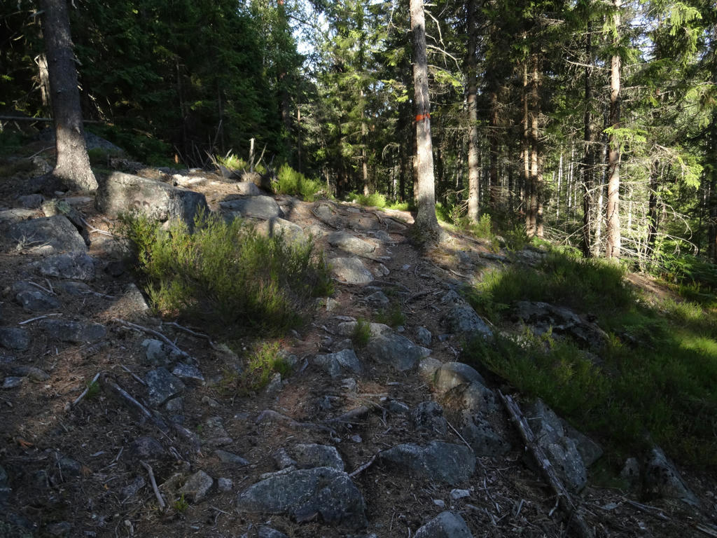
31.
Kungshallasjön. Rotated the photo slightly and cropped it. Also sharpened the photo slightly using unsharp mask.
32.
33.
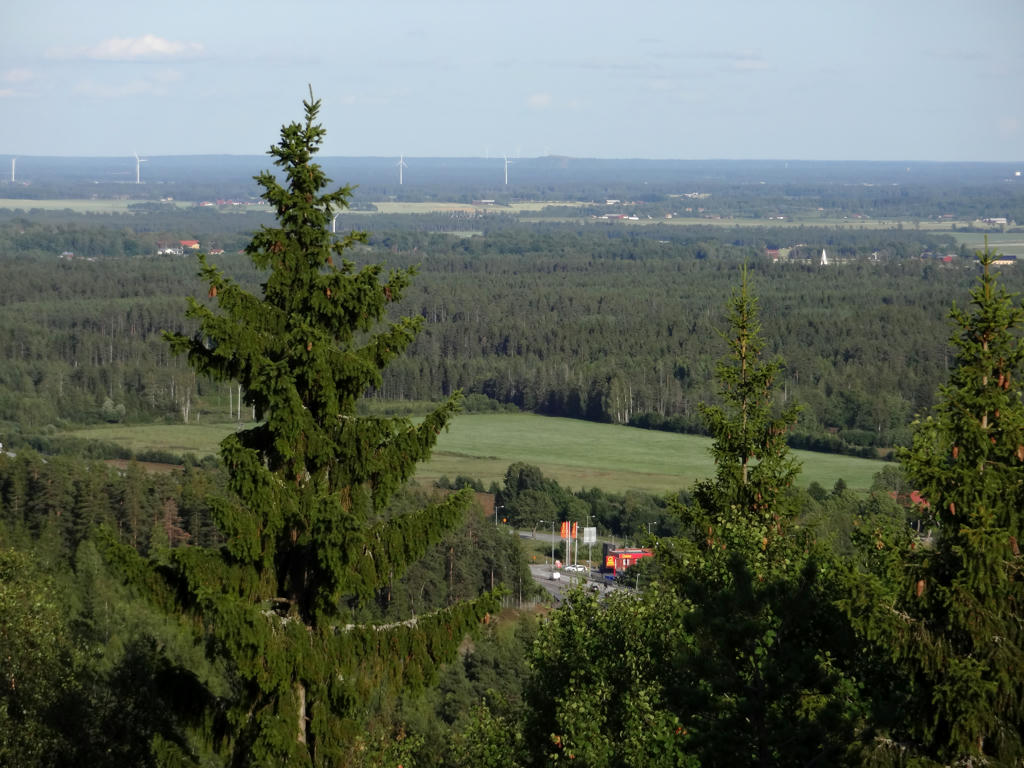
View from Lekhytteklint
"Lekhytteklint is one of Örebro County's classical outlook points. People have come here for many years because of its strategic position between Örebro and Karlskoga, and the possibility of using collective transport. The author Sven Berggren drew attention to Lekhytteklint in the Swedish Tourist Board annual report in 1935:
Through Kilberg's dark forest, the road leads out to the fertile Närke plane and just where the forest opens out onto the plane stands Lekhytte peak, like a petrified sentry from the time of ice and giants. Stressed fellow citizens who rush past here at top speed! Hold in your reigns and give yourself time to climb up the hill and see the rich land!
Up here, there is a foundation of a fire and surveillance tower. One can see inscriptions from the times gone by in the rocks, amongst others one written by '91 Eriksson 1941' probably made during a long wait during air surveillance duty during the Second World War."
Increased the brightness and contrast slightly using the levels tool.
34.

Slowworm. Sharpened the photo slightly using unsharp mask.
Inga kommentarer:
Skicka en kommentar