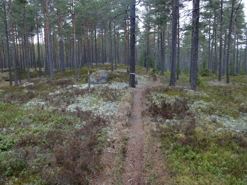
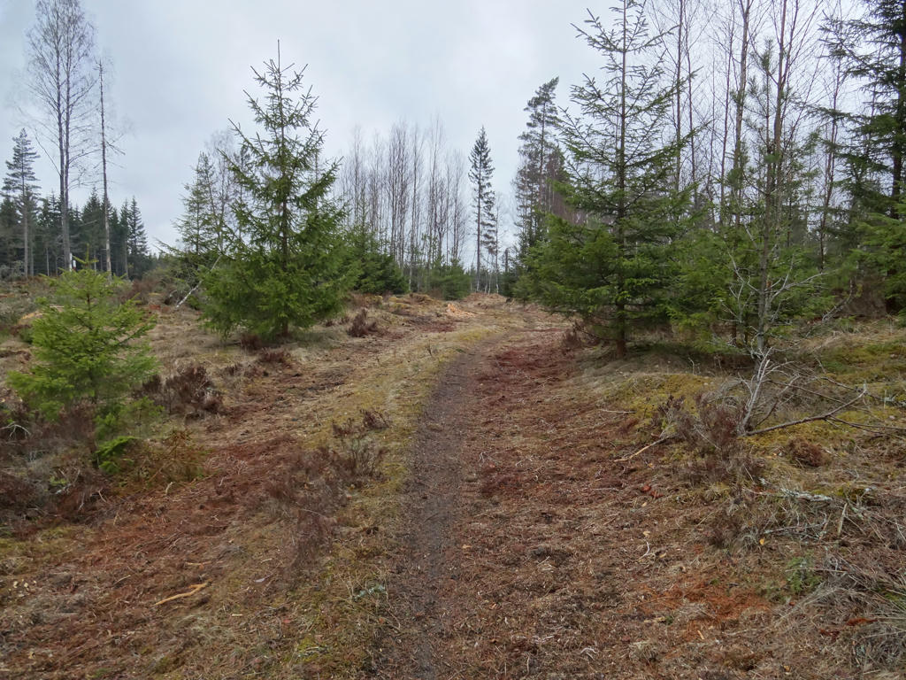
In any case the walk shares some of the characteristics of the previous walk between Fagerhult and Baståsen but it's not as beautiful and not as interesting. The first part of the walk is quite similar in character since it goes through Hökensås nature reserve. However, the second part of the walk has more forestry and more mixed forests (which doesn't look as interesting as fine sand forests, at least not when there are no leaves on the trees). The terrain was also more demanding, i.e. with more height variations (kuperad). The walk went a bit more on trails/paths in the woods than on gravel roads or tractor roads. Another thing to note is that I started off the walk in cloudy weather with some rain. However, later on the weather improved and the sky was clear. Despite these aspects it was still an interesting walk with some beautiful parts. In any case I present the photos below. Enjoy!
1.
Used unsharp mask to sharpen the photo slightly.
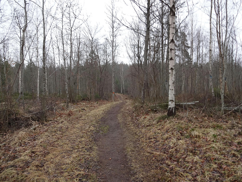
2.
Increased the contrast using the levels tool.
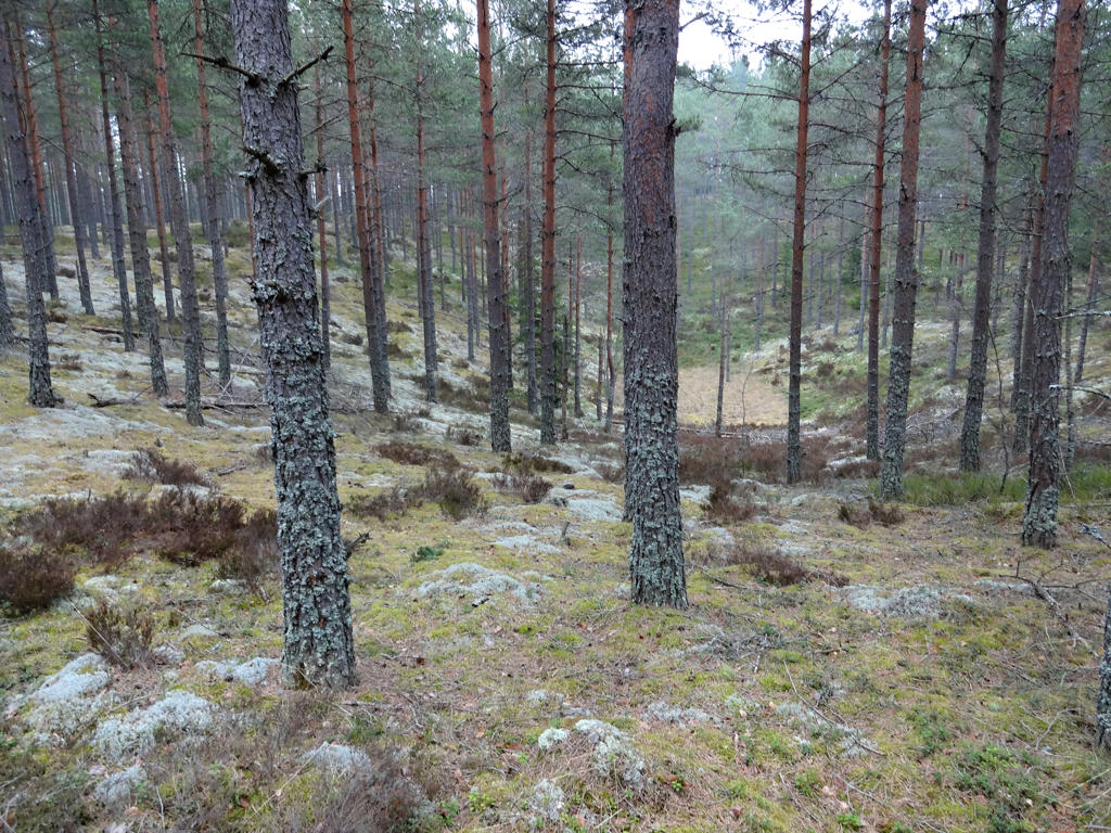
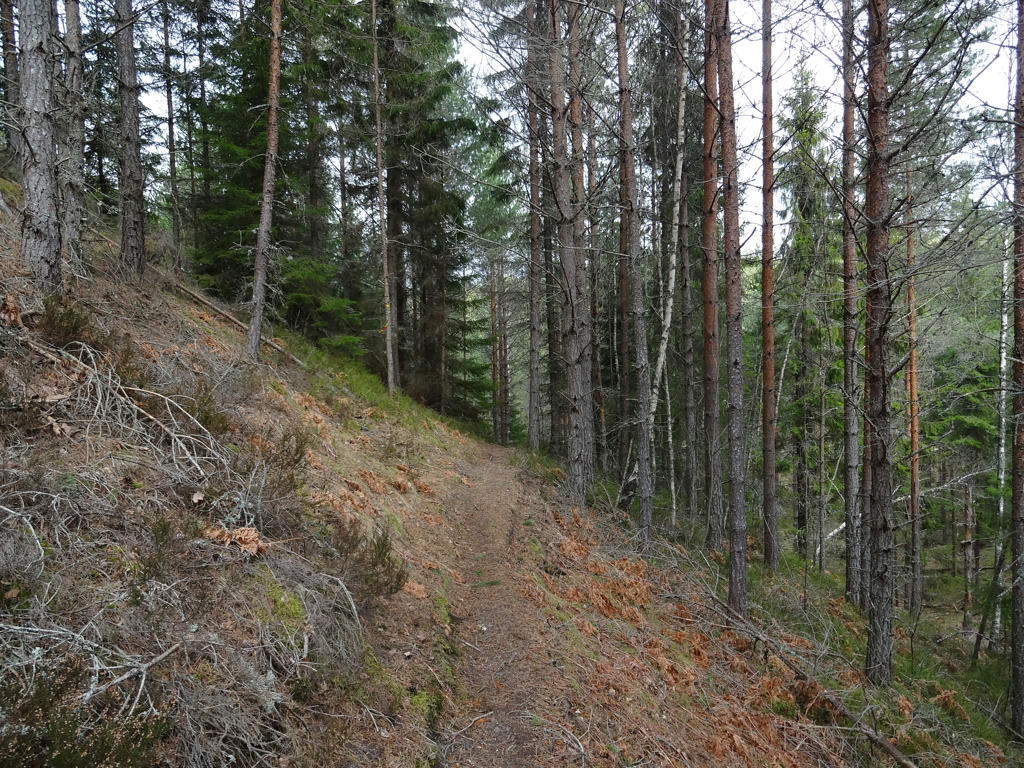
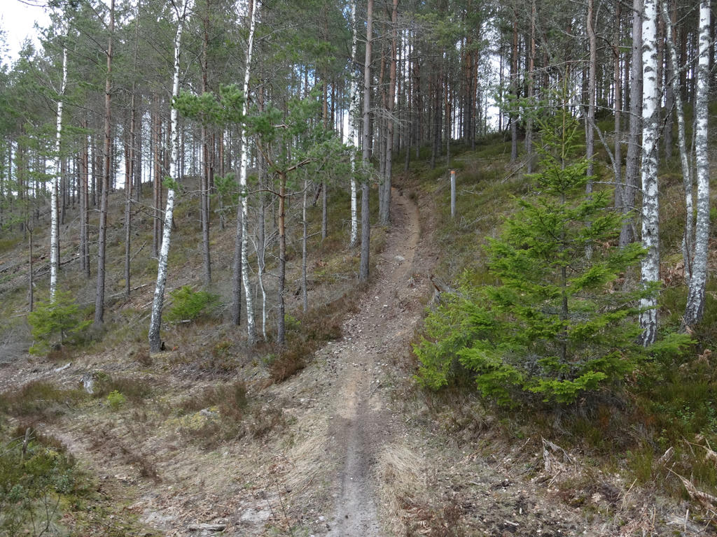
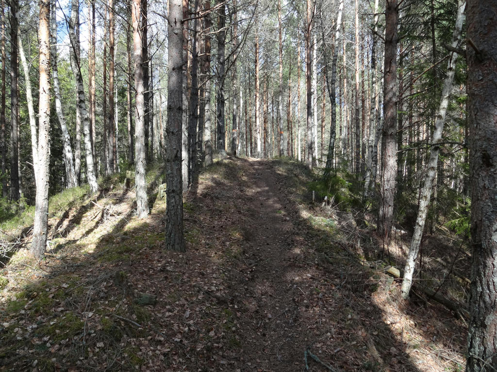
3.
Increased the contrast slightly.
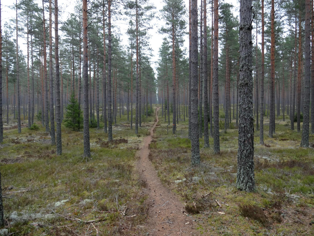
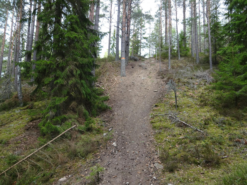
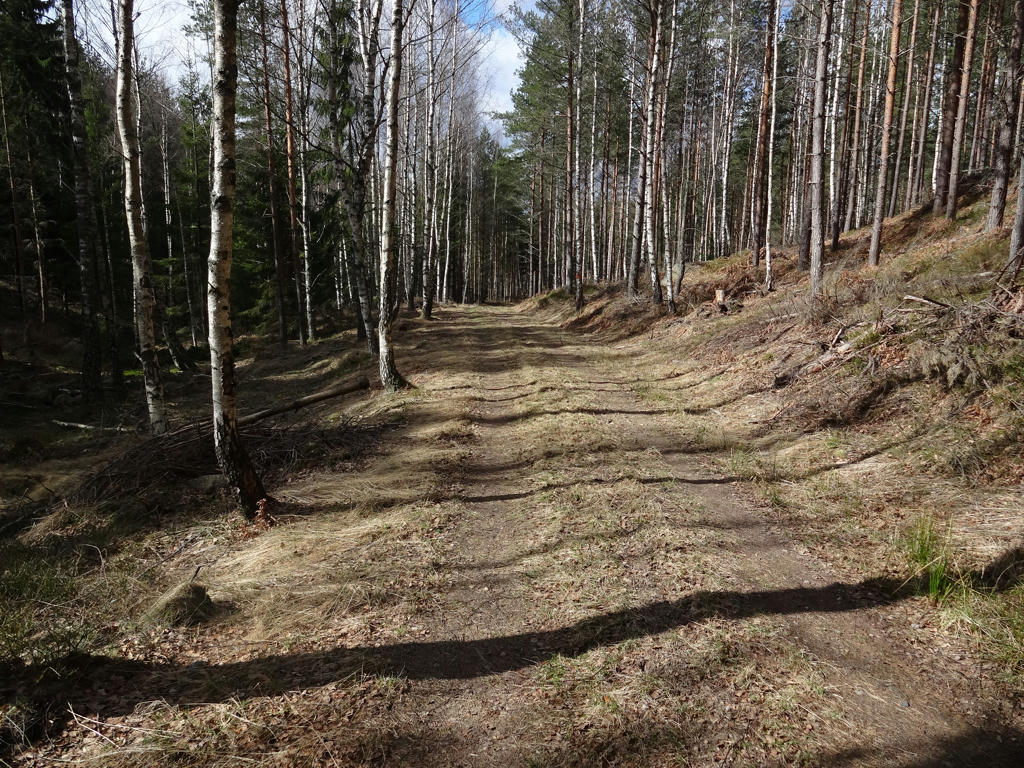
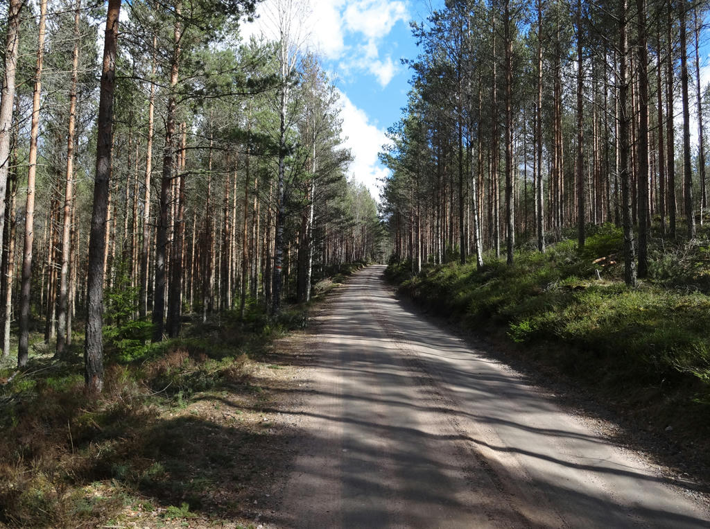
4.
Store Grubben. Rotated the photo slightly and cropped it. Also used the levels tool to increase brightness and contrast slightly for the non-sky parts.
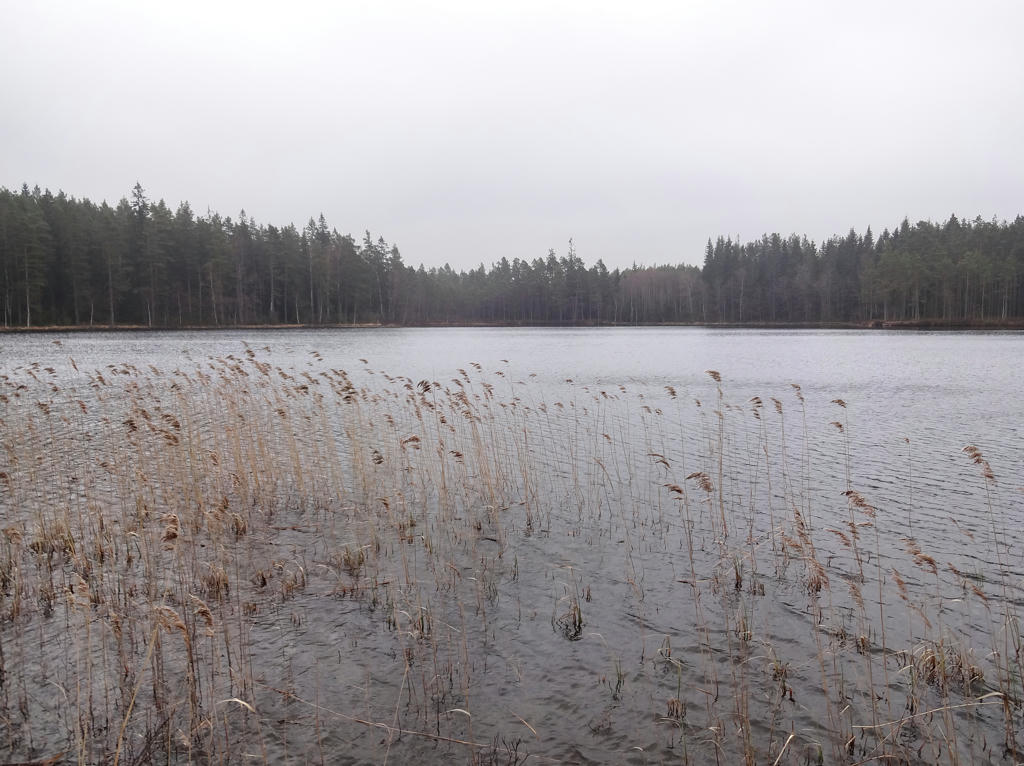
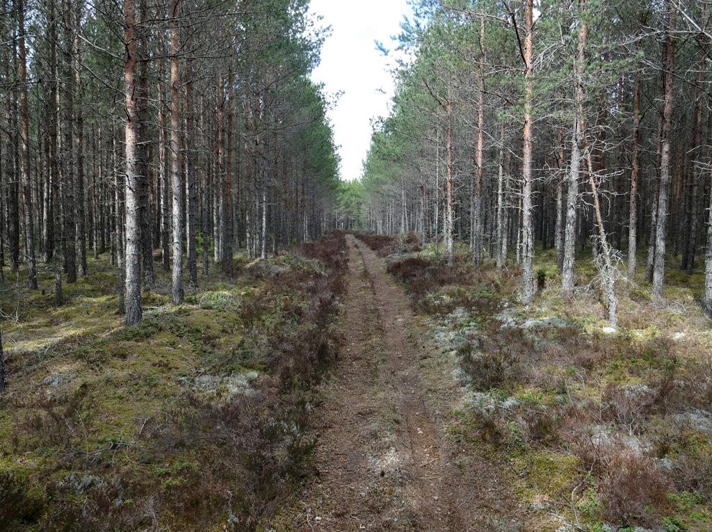
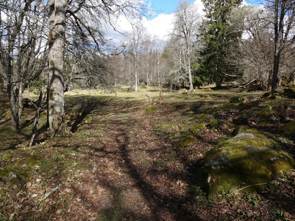
5.
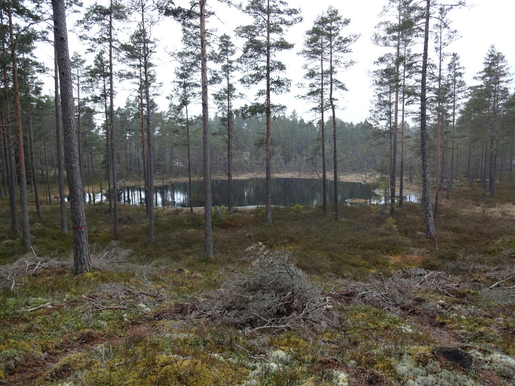
Kosjön. Increased the contrast for the non-sky parts using the levels tool.
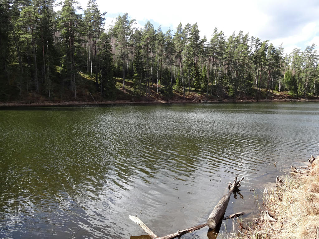
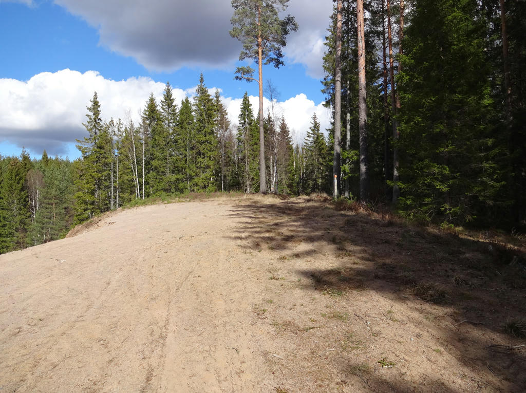
6.
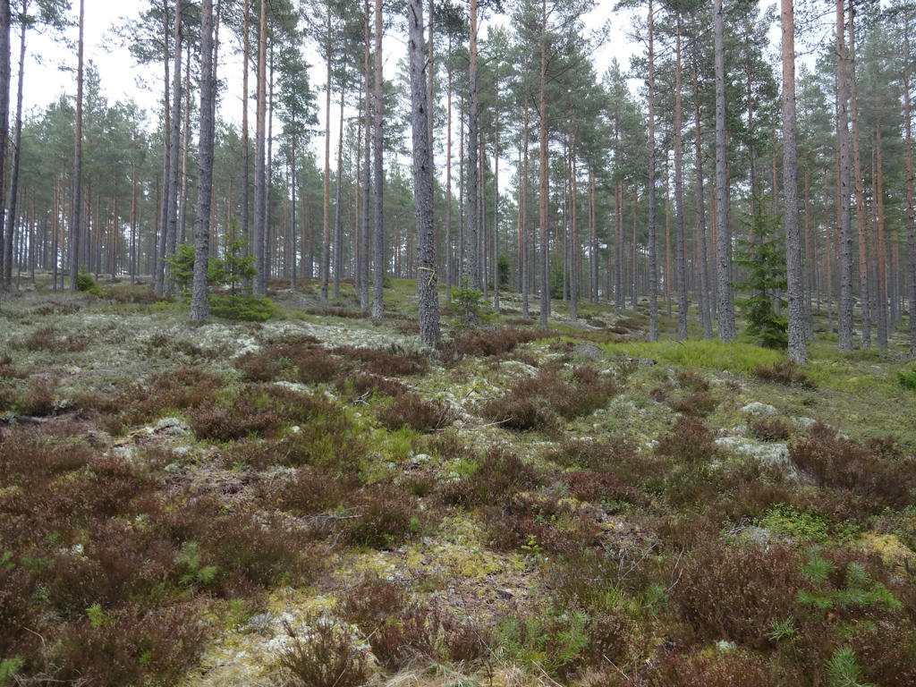
7.
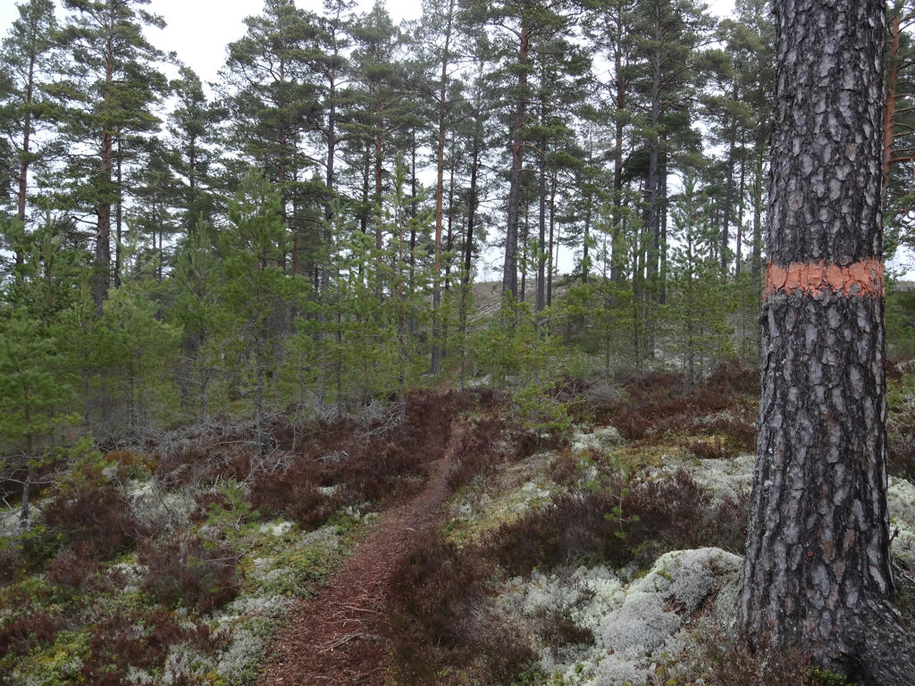
8.
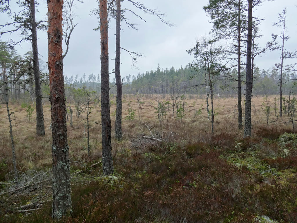
Lummenmossen. Increased the brightness and the contrast for the non-sky parts using the levels tool.
9.
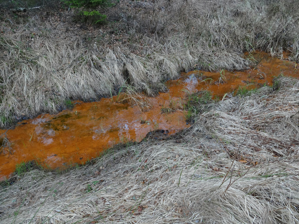
The lower layer in this stream has brown mud because of the ferric terra rossa which commonly occurs in this area. A relatively unexplored part in our history is the small scale iron extraction by farmers. Terra rossa has also been used in the production of ruddle.
10.
Increased the contrast for the non-sky parts using the levels tool. Also sharpened the photo slightly using unsharp mask.
11.
Used the levels tool to slightly brighten the non-sky parts.
12.
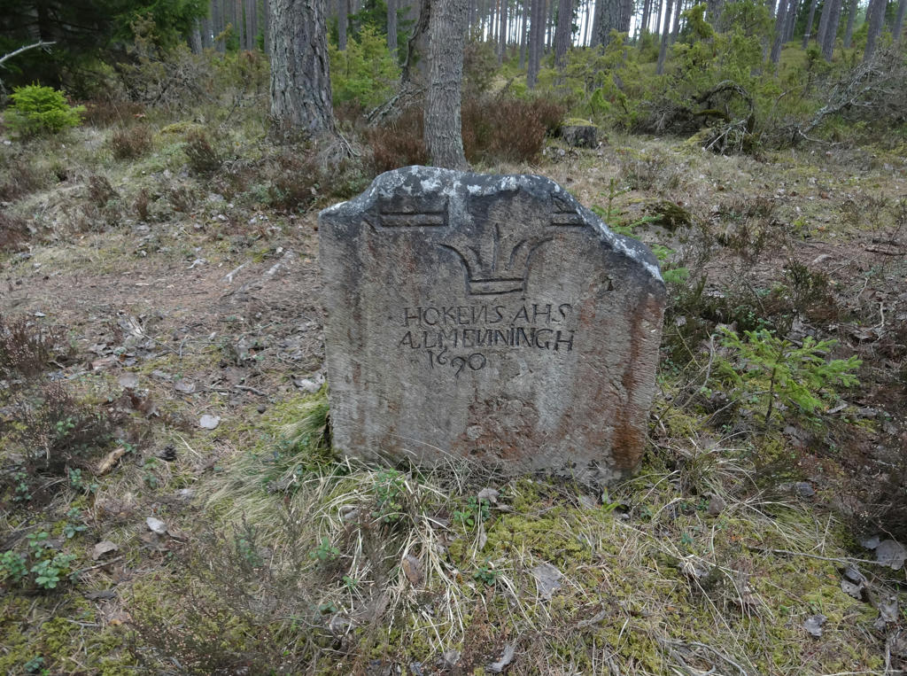
Klockaremoröset has a crowned stone with the inscription "HÖKENSÅS ALMENINGH 1690". This stone is one of the 18 stones raised when Karl XI decided to spot the crown-owned and contentious common land at Hökensås.
Rotated the photo slightly and cropped it.
Rotated the photo slightly and cropped it.
13.
14.
15.
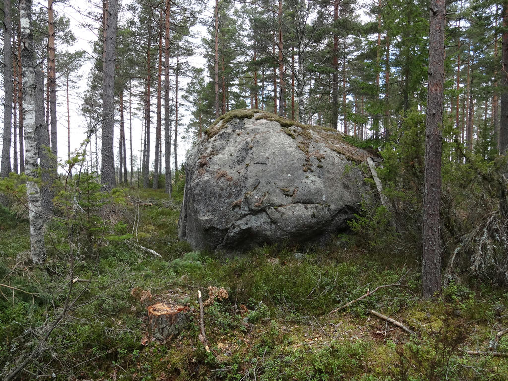
Rännestenen is a large glacial erratic from the ice age. The stone is three meters high and has a circumference of 17m. It is unknown how much of the stone is below the surface but the estimated weight is between 100 and 200 tonnes. The stone's very round edges indicates that it rolled a long time below the ice mass.
Used the levels tool to slightly brighten the non-sky parts and also slightly increased the contrast for these parts.
Used the levels tool to slightly brighten the non-sky parts and also slightly increased the contrast for these parts.
16.
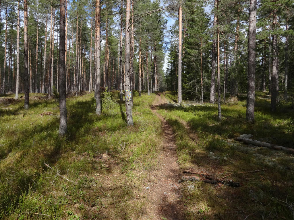
17.
18.
19.
Used the hue restorer plug-in to get rid of the cyan-ish sky color. Then I rotated and cropped the photo. I also increased the contrast for the non-sky parts. Finally I sharpened the photo slightly using unsharp mask.
20.
Vitsjön
Vitsjön is a glacial kettle. The lake has only subterranean inflows, lacks surface outflows and has very clear water.
Used the hue restorer plug-in to get rid of the cyan-ish sky color. Also increased the contrast slightly.
Vitsjön is a glacial kettle. The lake has only subterranean inflows, lacks surface outflows and has very clear water.
Used the hue restorer plug-in to get rid of the cyan-ish sky color. Also increased the contrast slightly.
21.
The path follows an unusually mighty boulder-ridge with an interesting plant- and wildlife. On both sides of the ridge there are several glacial kettles and on the east side there is also a wetland. Along the ridge there was a footpath already in the 1800s.
Used the hue restorer plug-in to get rid of the cyan-ish sky color.
Used the hue restorer plug-in to get rid of the cyan-ish sky color.
22.
Used the hue restorer plug-in to get rid of the cyan-ish sky color. Also rotated the photo slightly and cropped it.
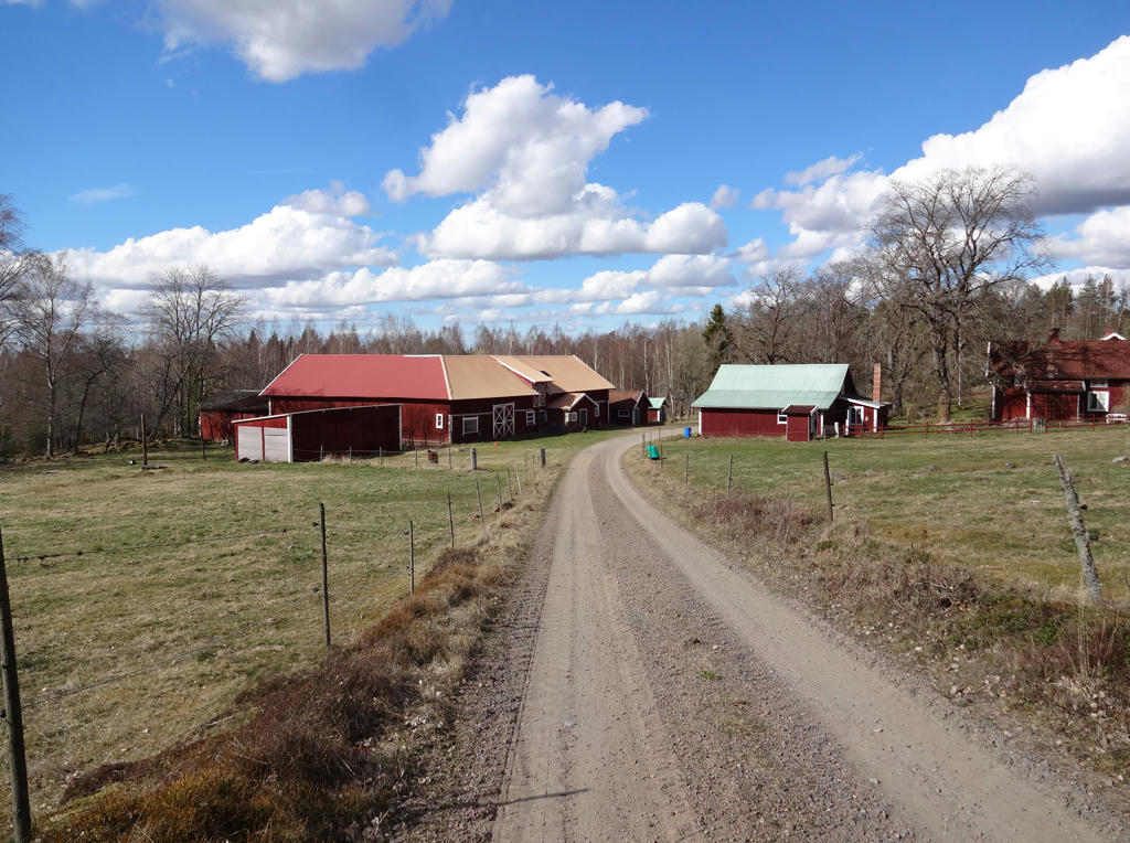
23.
Stora Bremsahemmet
The relatively old farm is nowadays abandoned and is owned by Sveaskog. However, livestock is now used for pasture in order to preserve the grazing land landscape with its' special flora, which is roughly how it looked in the 1800s. At the grazing land one can also among other things observe an earth cellar and vague traces of an old dovetailed cabin.
The relatively old farm is nowadays abandoned and is owned by Sveaskog. However, livestock is now used for pasture in order to preserve the grazing land landscape with its' special flora, which is roughly how it looked in the 1800s. At the grazing land one can also among other things observe an earth cellar and vague traces of an old dovetailed cabin.
24.
Rotated the photo slightly and cropped it.
25.
Baståsen. Rotated the photo slightly and cropped it.
Inga kommentarer:
Skicka en kommentar