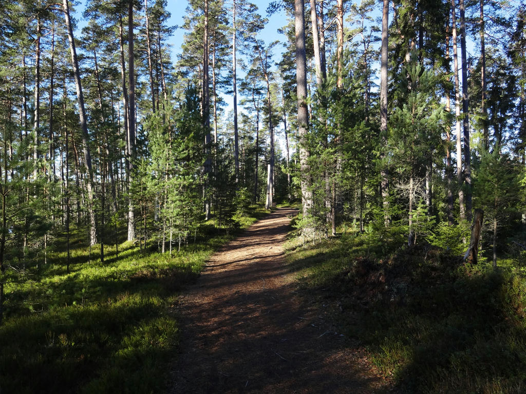
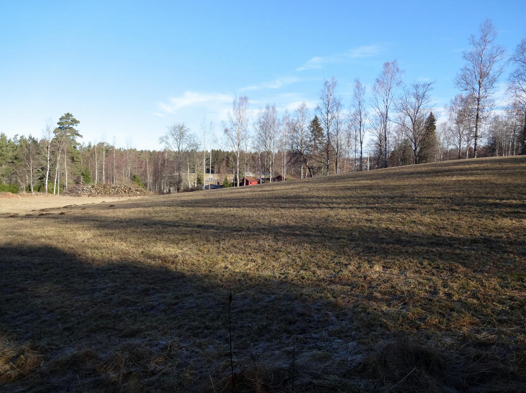
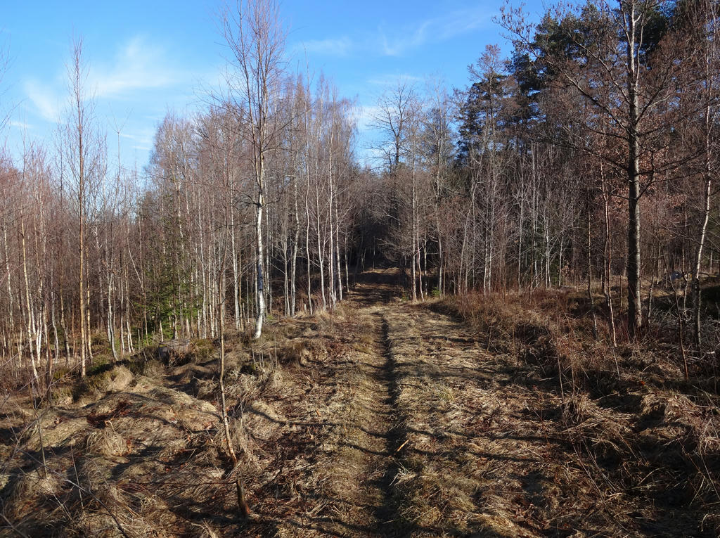
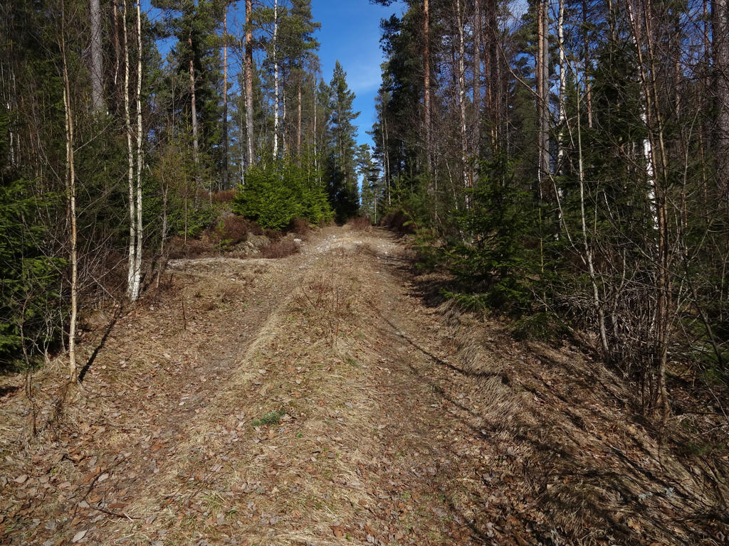
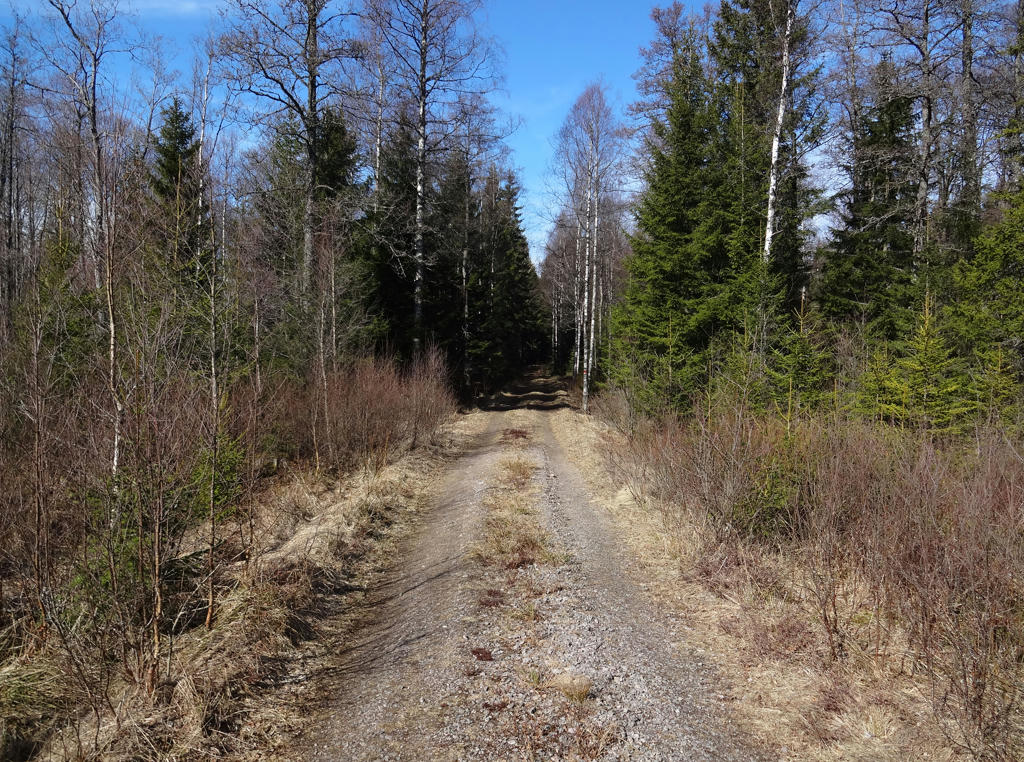
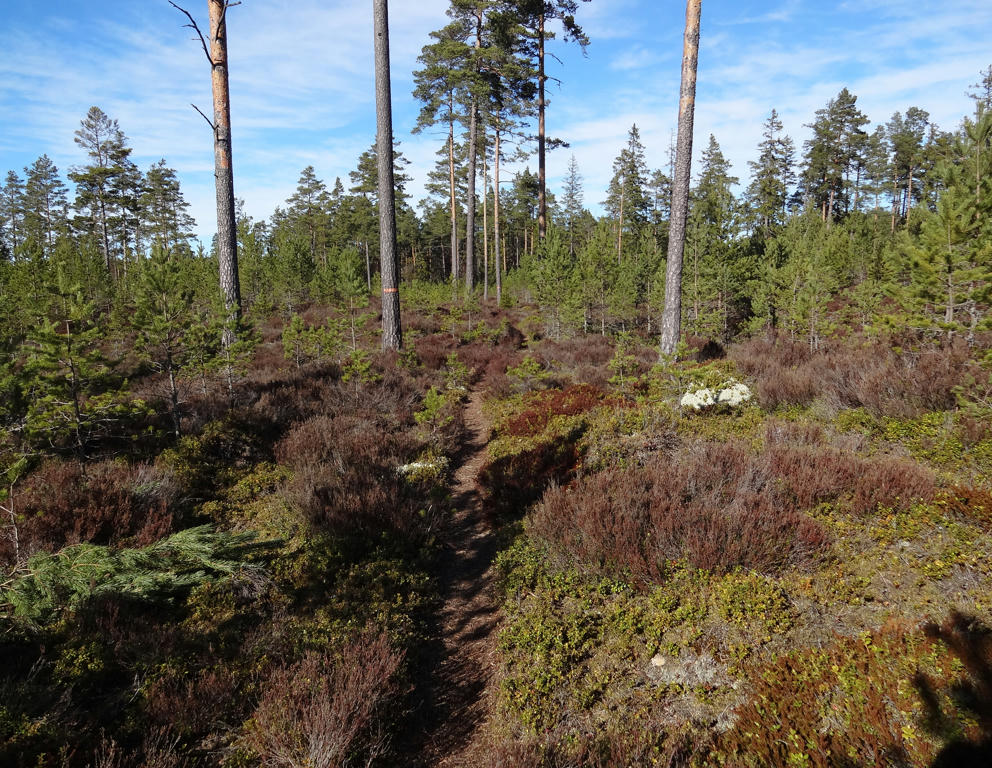
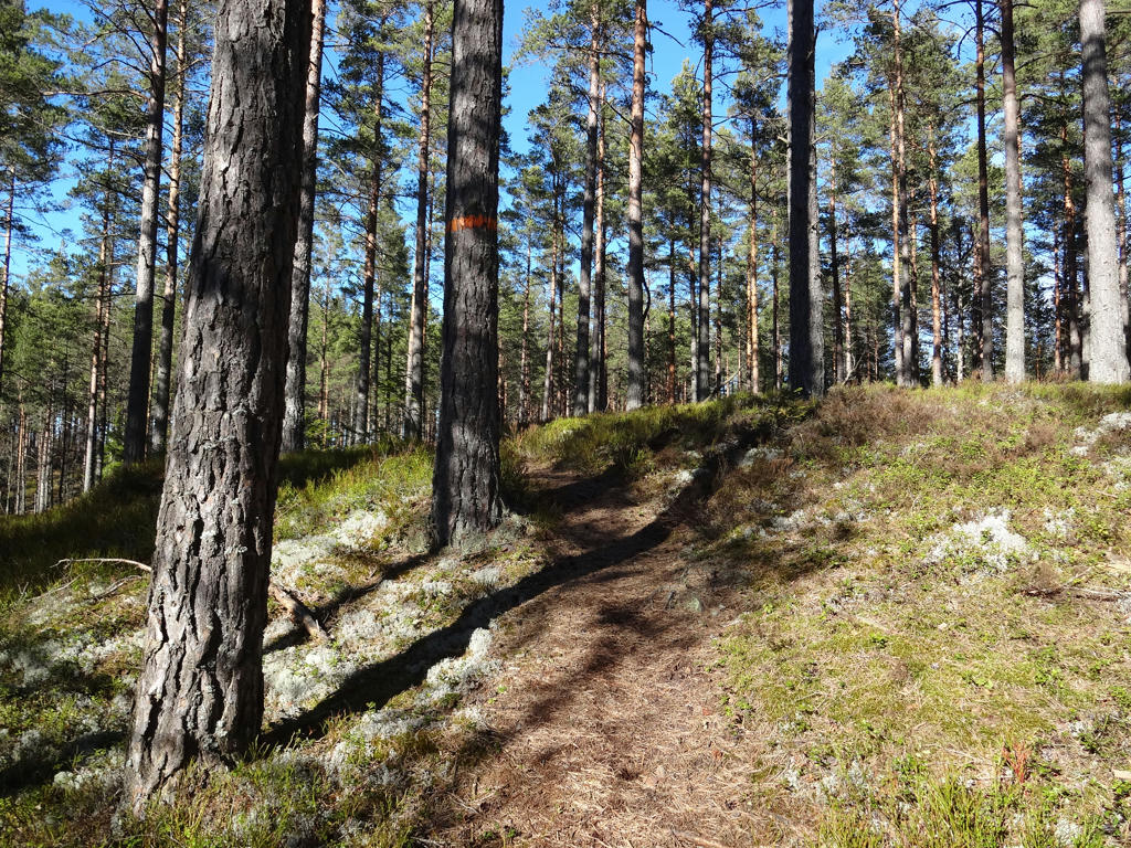
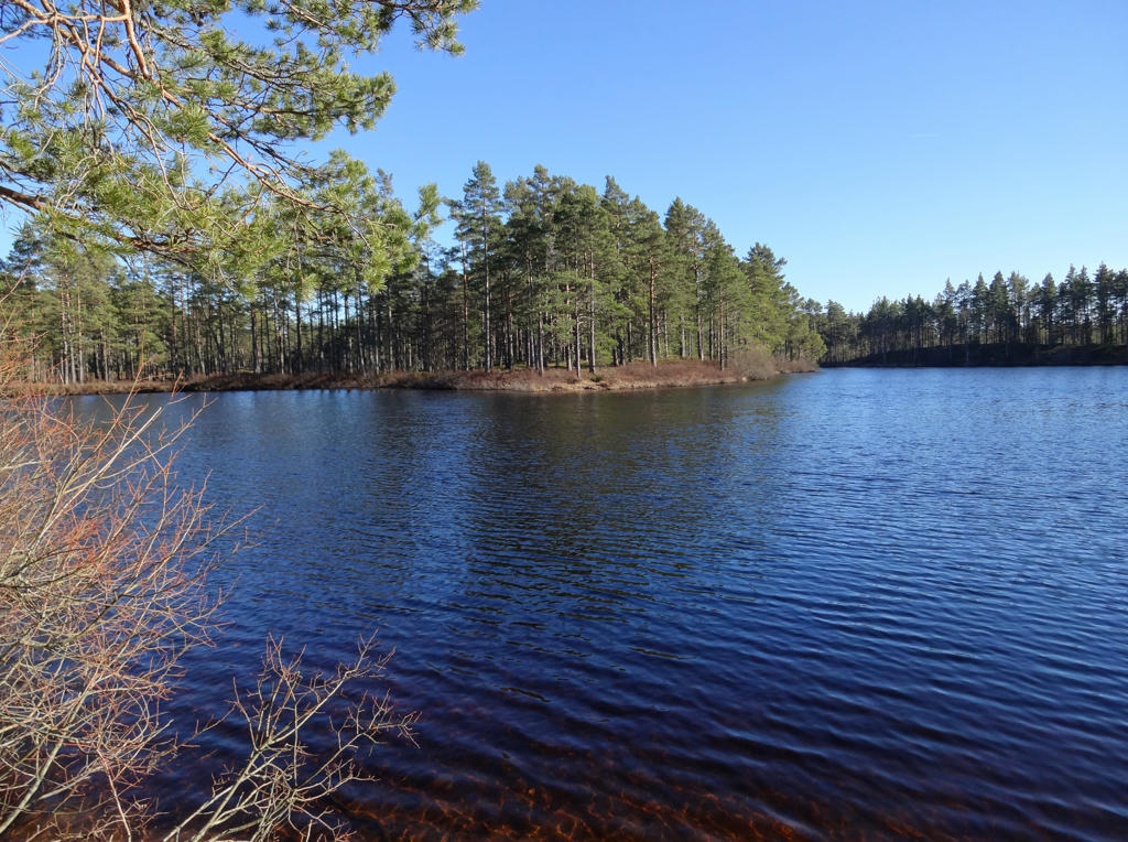
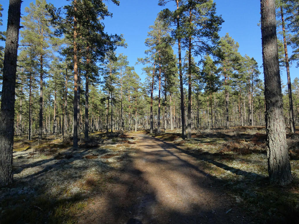
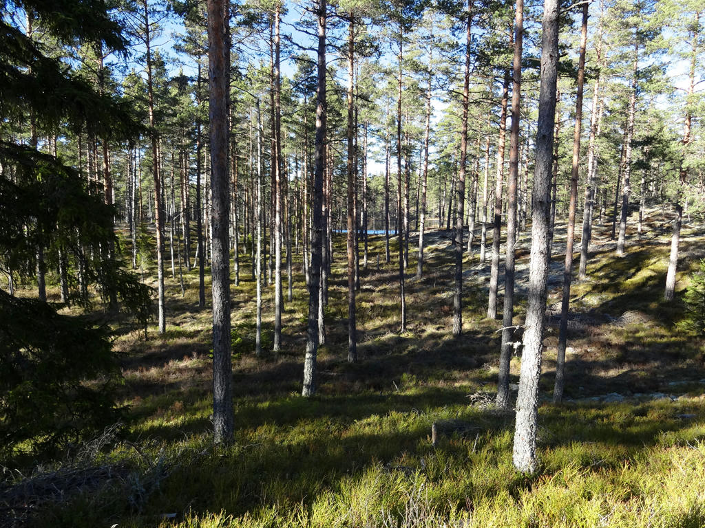
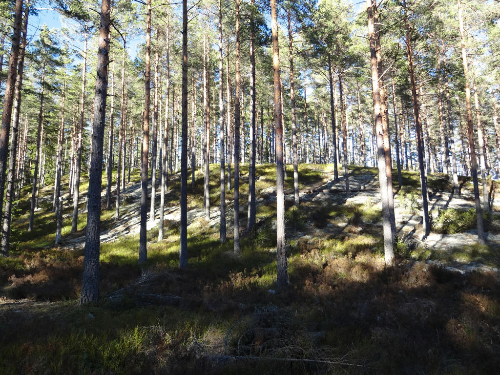
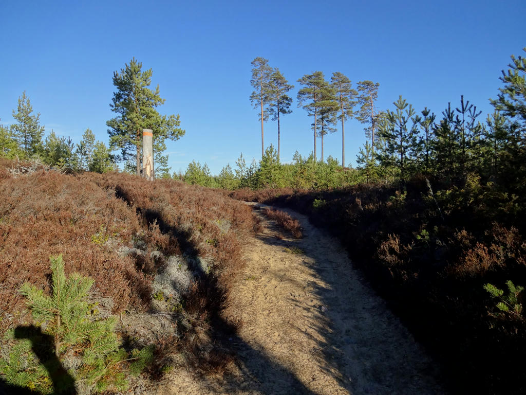
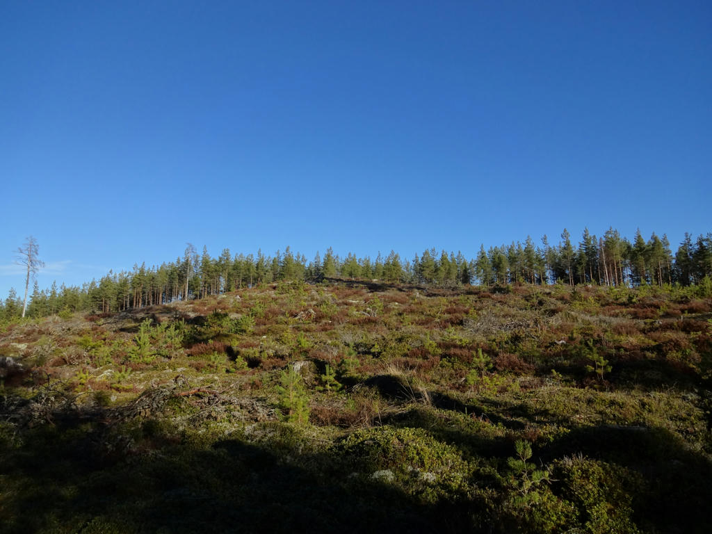
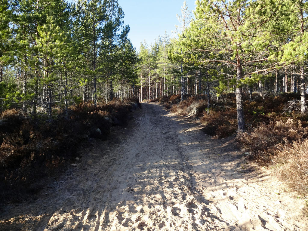
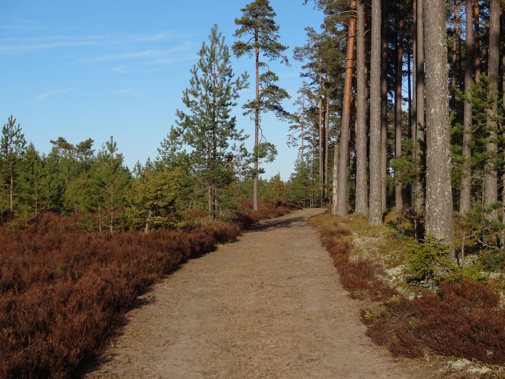
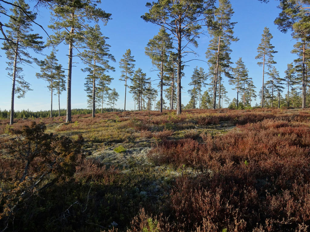
Despite the exhausting travel conditions it was probably my favorite Västra Vätterleden walk. The walk can be divided into two main parts. The first part was slightly less interesting since it went for the most part through mixed forests and obviously at this time of year (in late March) the deciduous trees don't have any leaves so the forest looks less interesting in many cases. I also got a bit lost in the region near Mullsjö since new houses and roads had been built and some of the signs were missing. Nevertheless this part was still interesting and beautiful. In the second part of the walk (more or less after the village Dalen) there are mostly fine sand forests (moskog/tallmo) which (as mentioned in the previous blog post) are beautiful. The added benefit of this type of forest is that it looks quite green and lively even at this time of year since there are mostly coniferous trees and low vegetation (which blooms earlier). In general there were also a number of beautiful lakes on the path. Another contributing factor to why it might be my favorite Västra Vätterleden walk is because it's the longest. Length itself does not necessarily make things more interesting (for instance the Västra Vätterleden walk between Hjo and Tibro was not as interesting since I had to walk approximately 10.3km extra to reach a bus station) but in this case it certainly did make things more interesting as the terrain was interesting and varied. The walk went for the most part on gravel roads or tractor roads but some segments also went on trails in the wood. In any case I hope you enjoy the photos presented below!
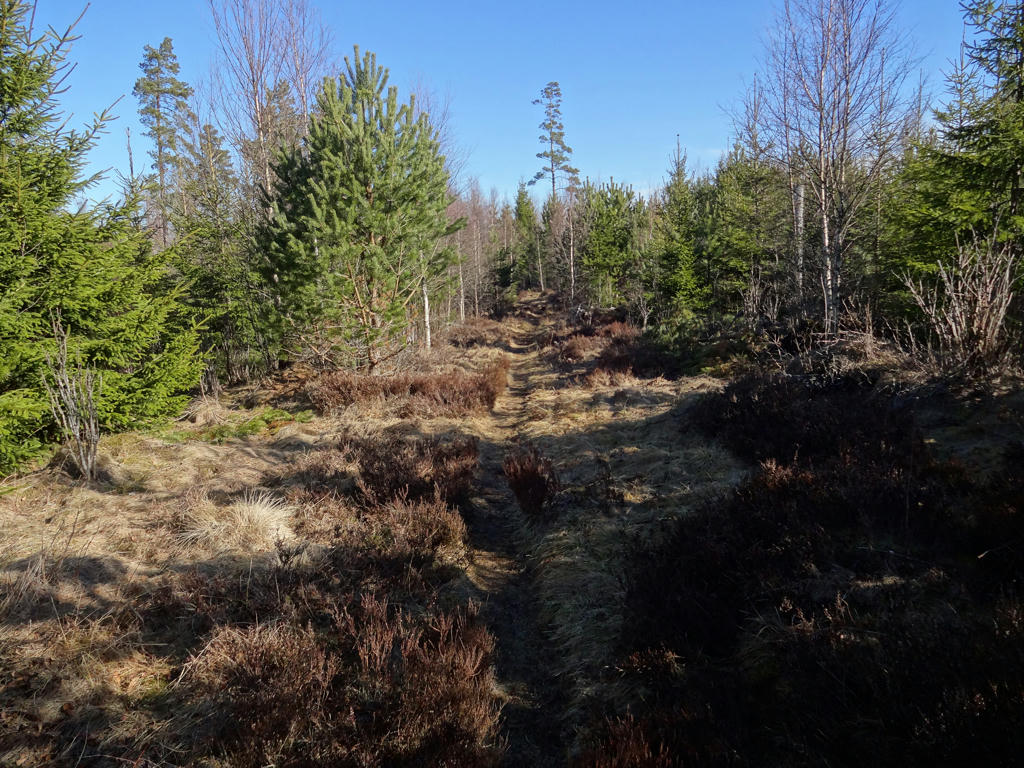
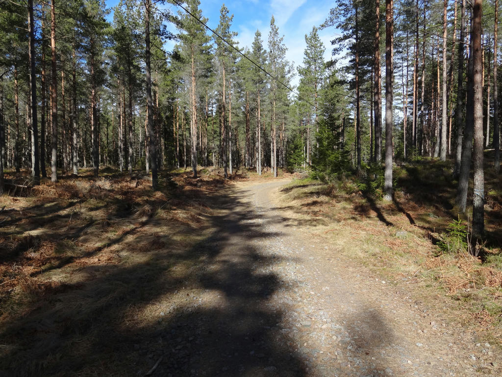
1.
Used the hue restorer plug-in to get rid of the cyan-ish sky color.
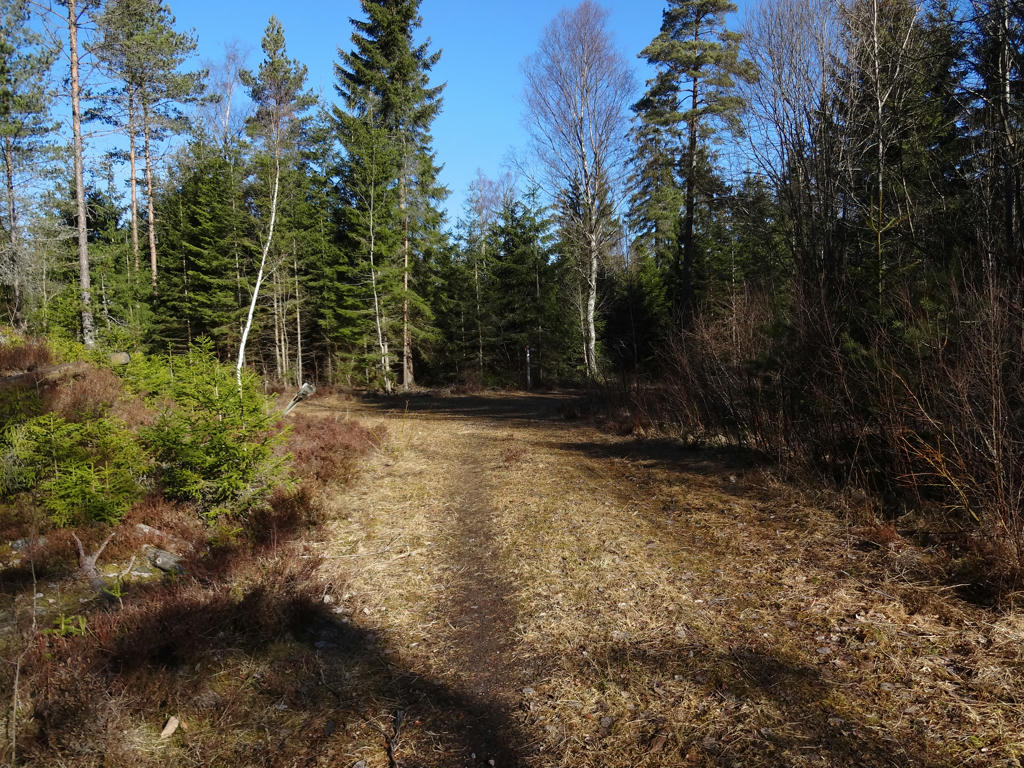
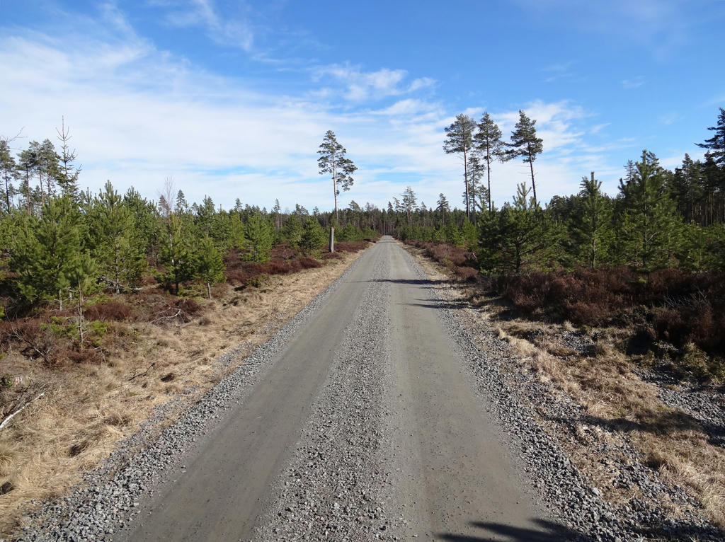
2.
Used the hue restorer plug-in to get rid of the cyan-ish sky color and also rotated and cropped the photo. Finally I darkened the non-sky parts slightly using the levels tool.
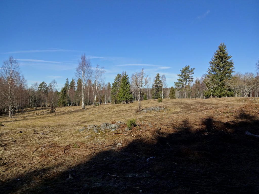
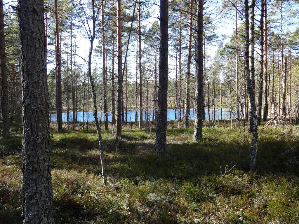
3.
Used the hue restorer plug-in to get rid of the cyan-ish sky color. Also rotated the photo slightly and cropped.
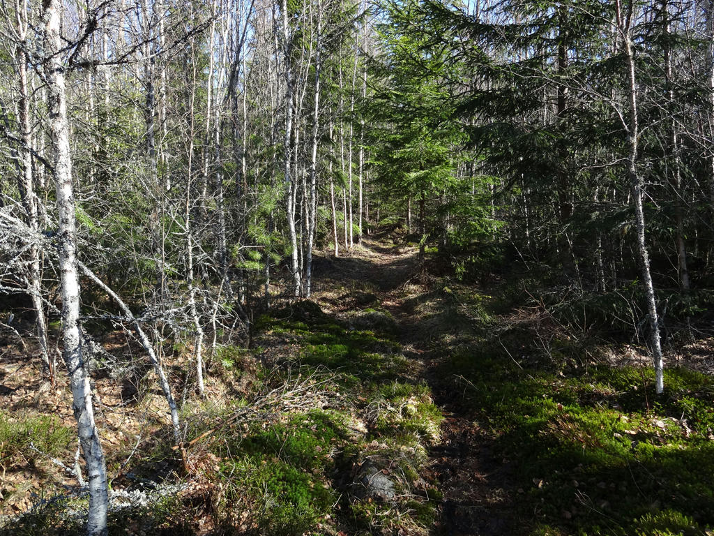
4.
5.
Sharpened the photo slightly using unsharp mask.
6.
Used the hue restorer plug-in to reduce the cyan-ish sky color.
7.
Increased the contrast slightly.
8.
9.
10.
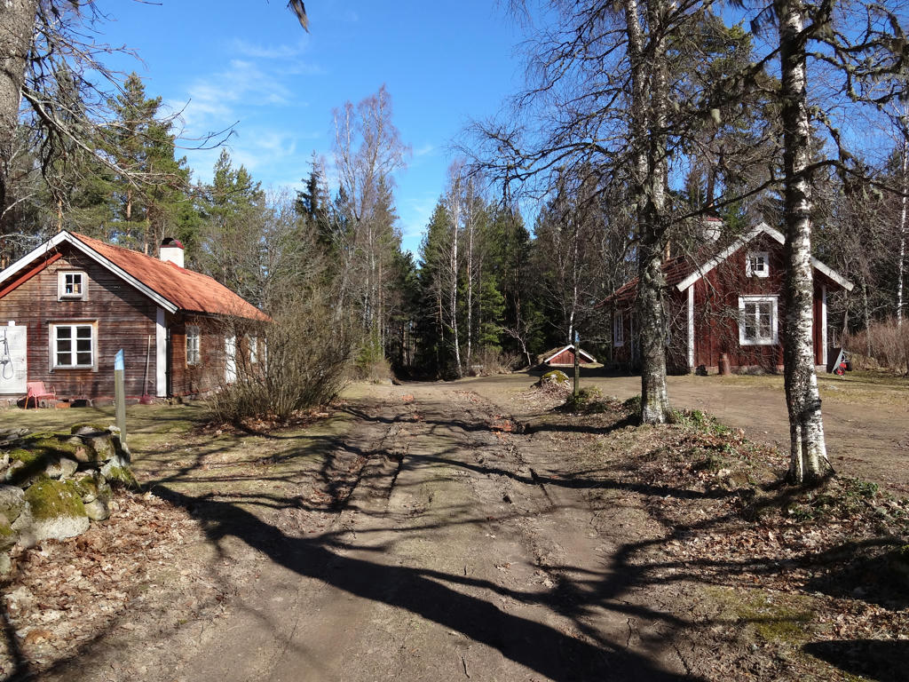
Anderstorp
At Anderstorp there are two well-maintained crofts, both of which were built by Anders Larsson. He was a crofter in Ekesbo (which was part of Västra Ekered) between the years 1868 and 1881. When the wife Lisa Johanssonsdotter died, Anders moved away to Åsarp. However, he returned a couple of years later and built the smaller croft in 1890.
At Anderstorp there are two well-maintained crofts, both of which were built by Anders Larsson. He was a crofter in Ekesbo (which was part of Västra Ekered) between the years 1868 and 1881. When the wife Lisa Johanssonsdotter died, Anders moved away to Åsarp. However, he returned a couple of years later and built the smaller croft in 1890.
11.
A field with common hogweeds near Julared.
12.
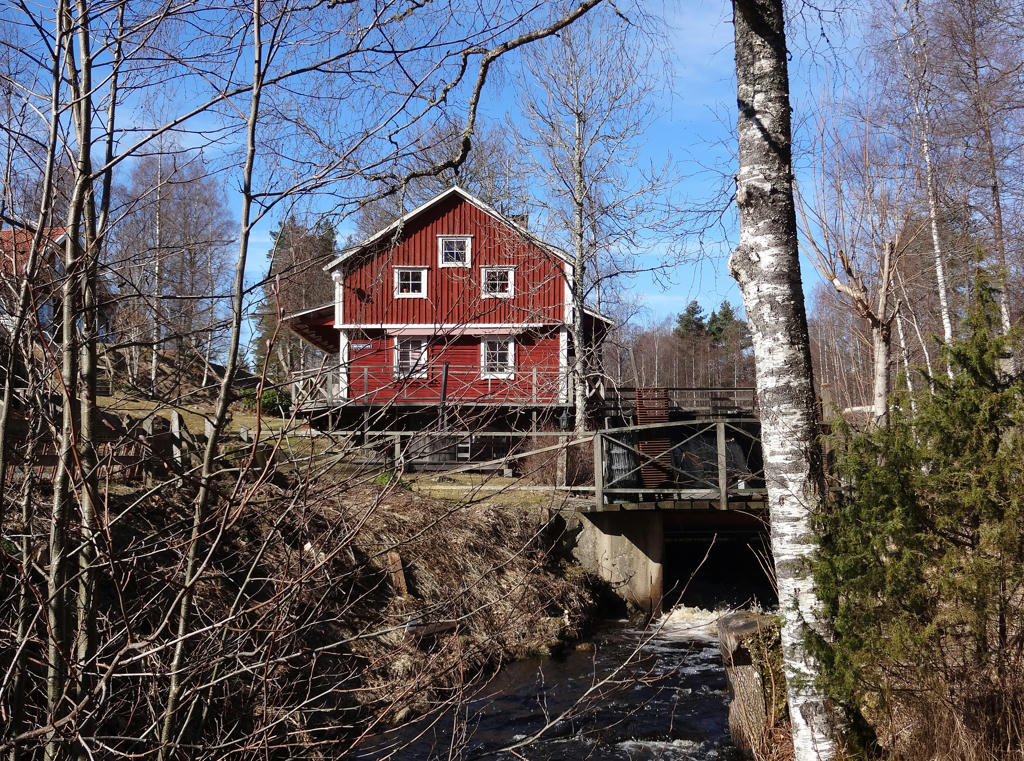
Julared
The Julared farm is described in the 1539 real estate register as a crown-owned farm (kronohemman). The name is assumed to refer to a millwheel (kvarnhjul). A mill house still remains by the dam, however all the signs of the activity are gone. There has also been a school located close to the farm.
The river is called Knipån.
Rotated and cropped the photo. Also used the hue restorer plug-in to reduce the cyan-ish sky color.
13.
14.
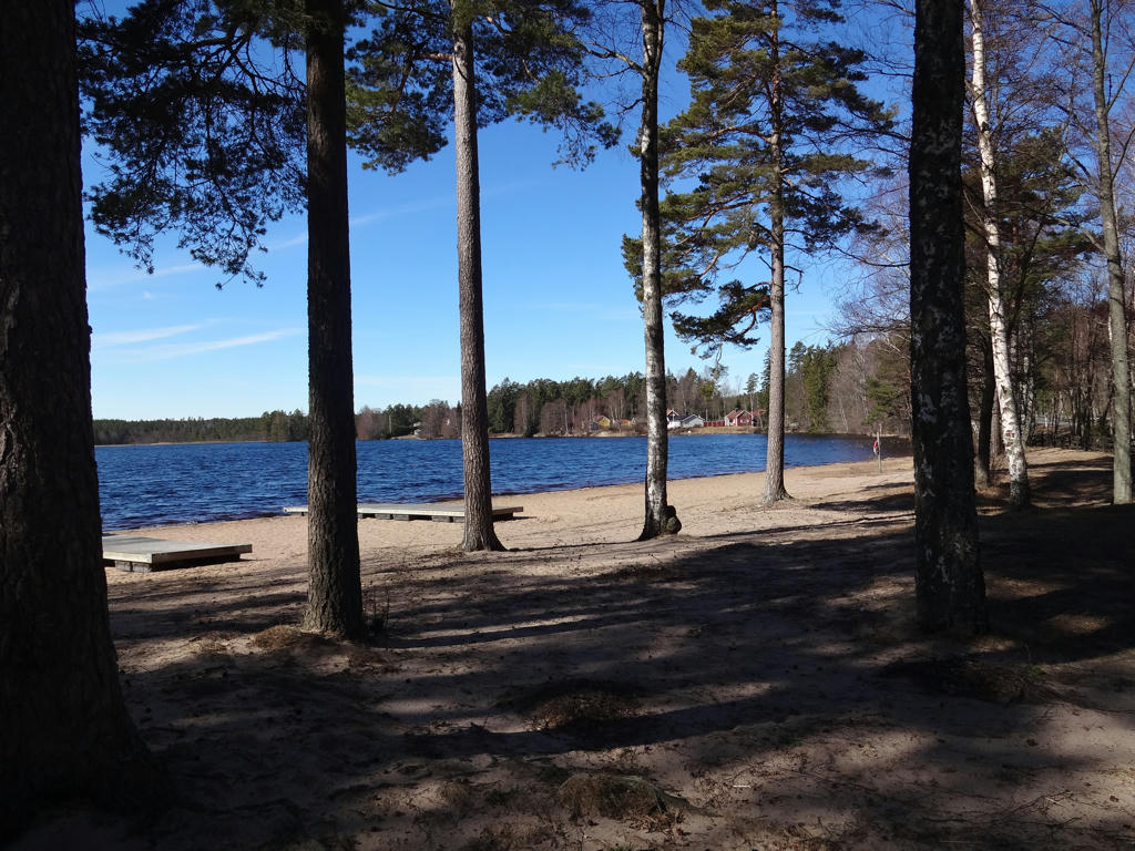
Beach at Furusjön.
15.
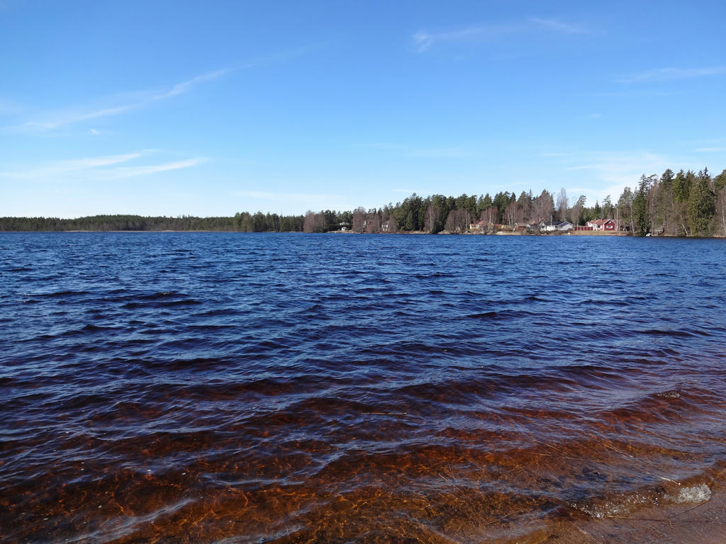
Furusjön. Used the hue restorer plug-in to get rid of the cyan-ish sky color.
16.
Korpåsen
17.
Rotated and cropped the photo. Also reduced the cyan-ish sky color using the hue restorer plug-in.
18.
19.
20.
Dalen
21.
22.
Rotated photo slightly and cropped it.
23.
For the non-sky parts I slightly increased the contrast.
24.
Cropped the photo slightly.
25.
Hornsjön. Brightened the non-sky parts using the levels tool.
26.
27.
Rotated and cropped the photo. Also used the hue restorer plug-in to get rid of the cyan-ish sky color.
28.
Limkaret. Used the hue restorer plug-in to reduce the cyan-ish sky color. For the non-sky parts I increased the contrast and also reduced the brightness slightly using the levels tool. I also decreased the brightness for the sky using the levels tool.
29.
30.
Södra Kroksjön. Rotated and cropped the photo.
31.
Rotated the photo slightly and cropped it. Also sharpened the photo slightly using unsharp mask.
32.
33.
Norra Kroksjön can be seen in the background. Used the hue restorer plug-in to reduce the cyan-ish sky color. Also increased the contrast slightly for the non-sky parts.
34.
Used the hue restorer plug-in to reduce the cyan-ish sky color.
35.
Increased the contrast slightly.
36.
37.
Used the hue restorer plug-in to reduce the cyan-ish sky color. Also decreased the brightness slightly for the non-sky parts using the levels tool.
38.
39.
Rotated the photo slightly and cropped it. Also sharpened the photo slightly using unsharp mask.
Inga kommentarer:
Skicka en kommentar