Either way, for the first Västra Vätterleden walk in 2017 I went to Hjo and walked to Baståsen. In total the walk was 23.8km, out of which the first 0.4km was required to get from the bus station in Hjo to the trail and the last 1km was required to walk from the trail at Baståsen to the Rödåkra bus station. In total the walk took me 6h1min and thus my average speed was approximately 3.96km/h. As noted before, the travel times tend to be quite long and in this case it took me 3h37min to get to Hjo and 4h42min to get home from Rödåkra (which is near Tidaholm).
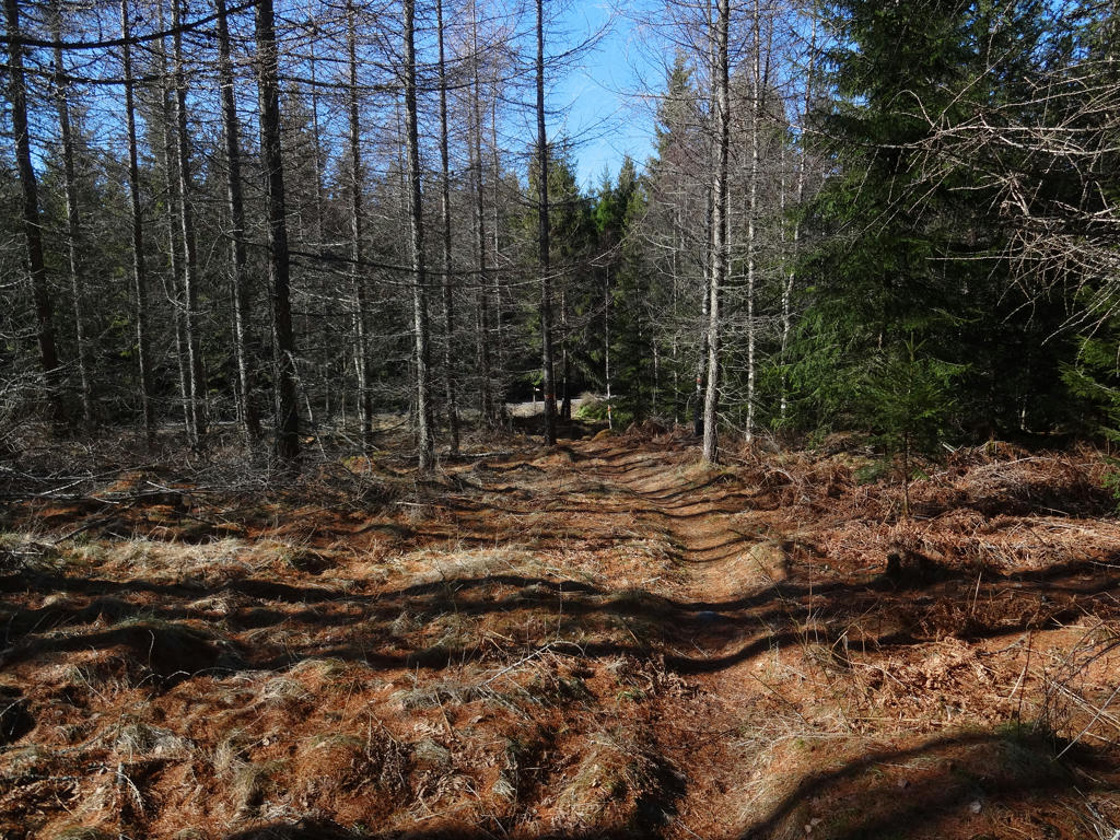
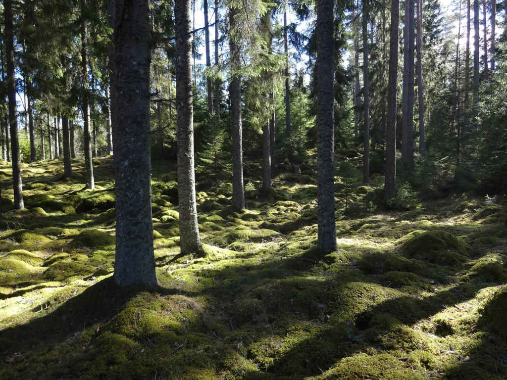
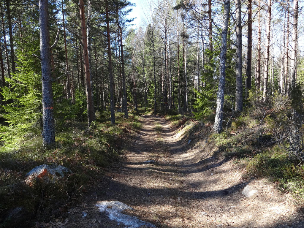
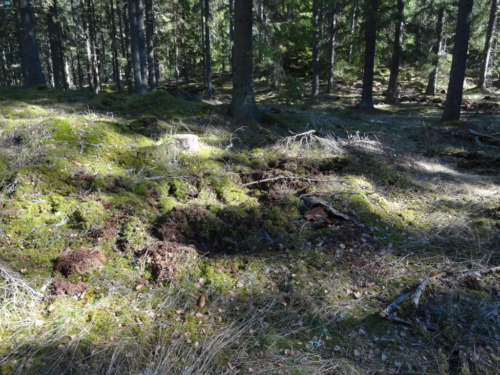
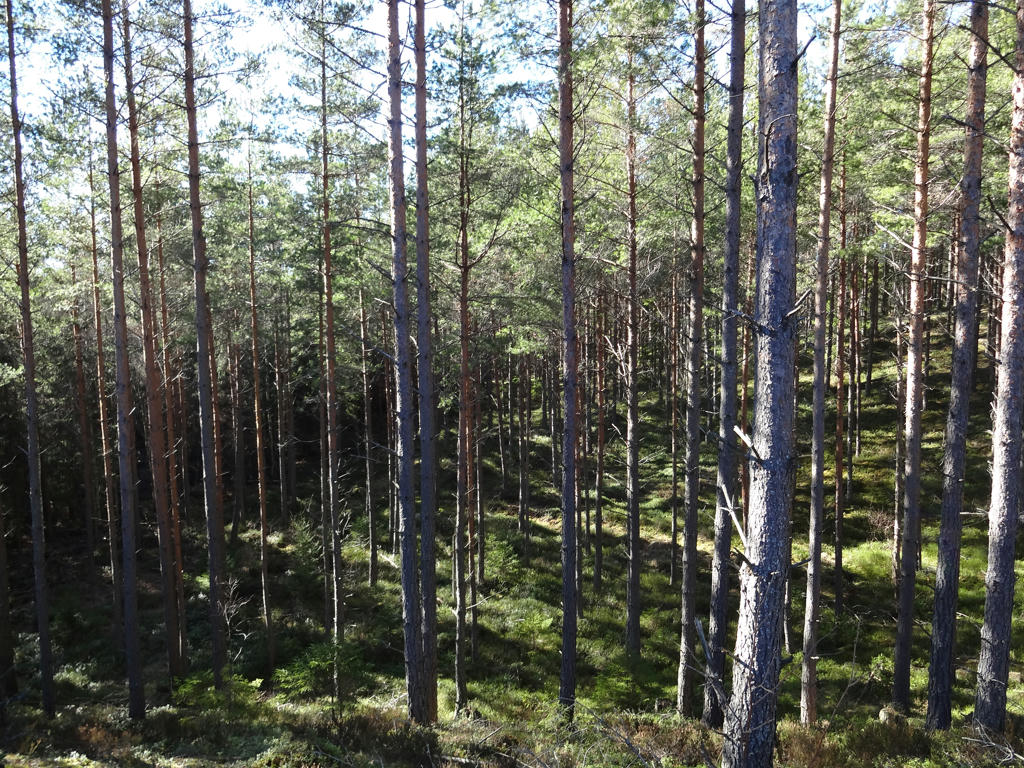
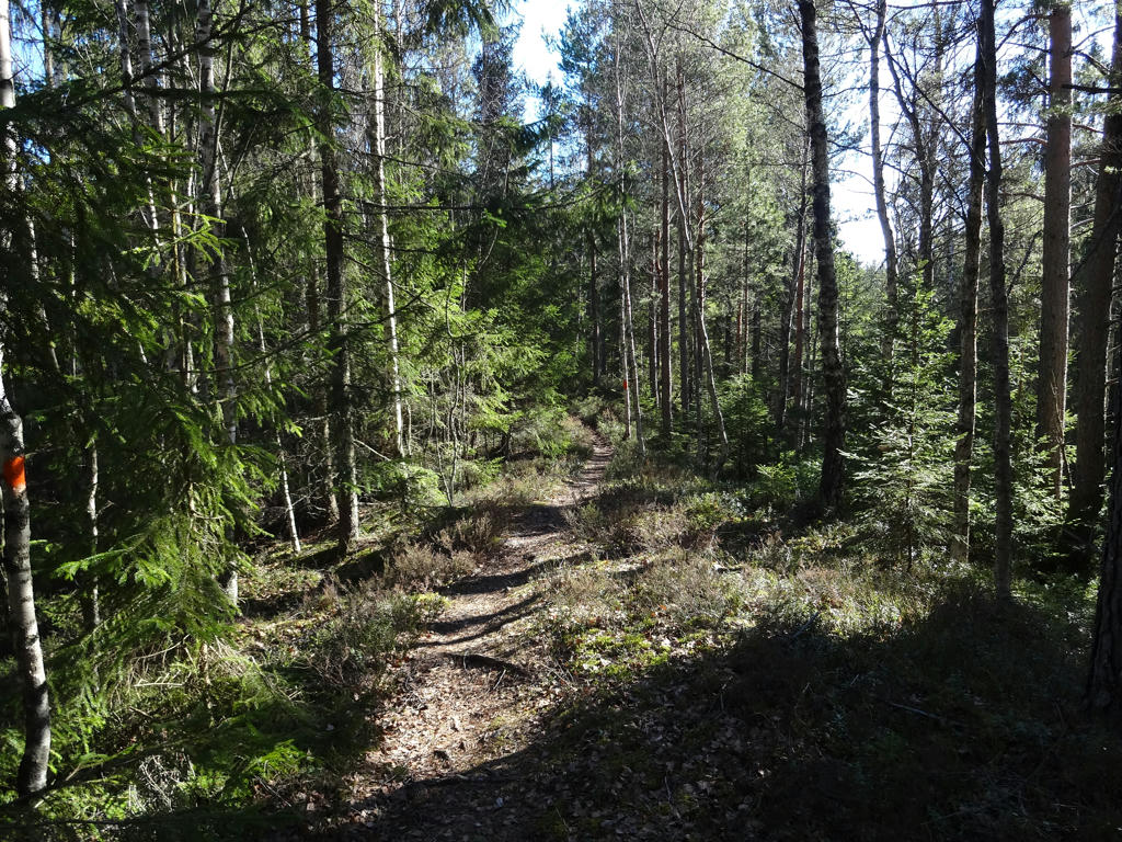
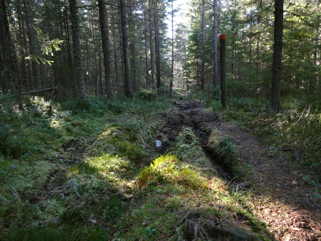
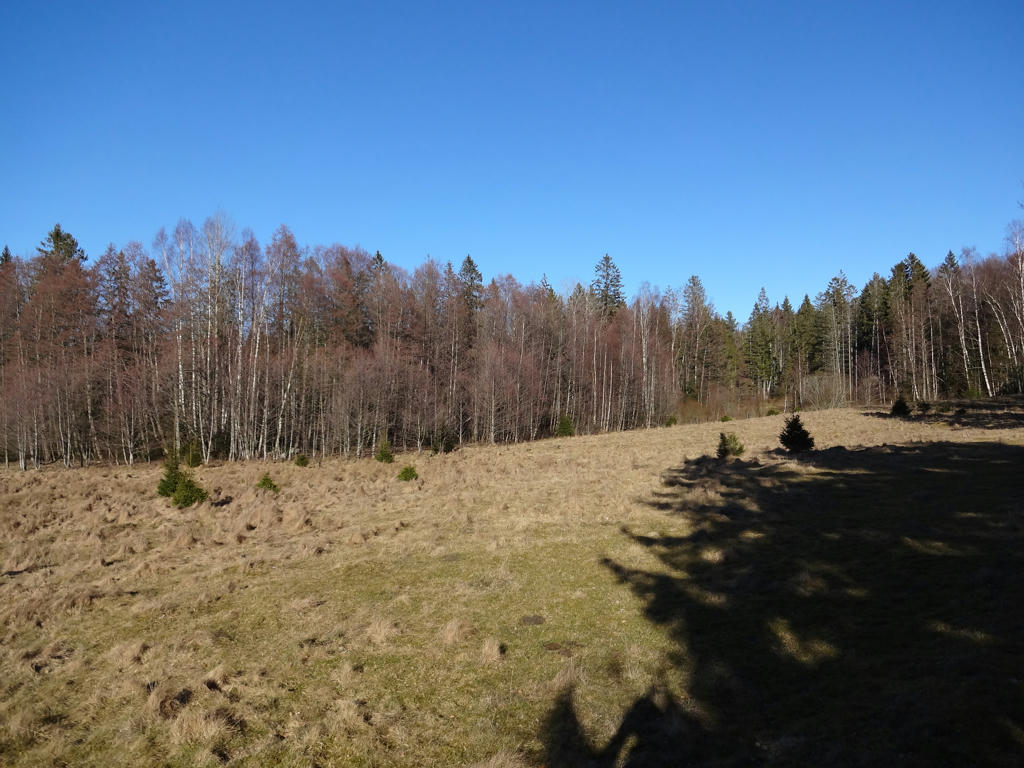
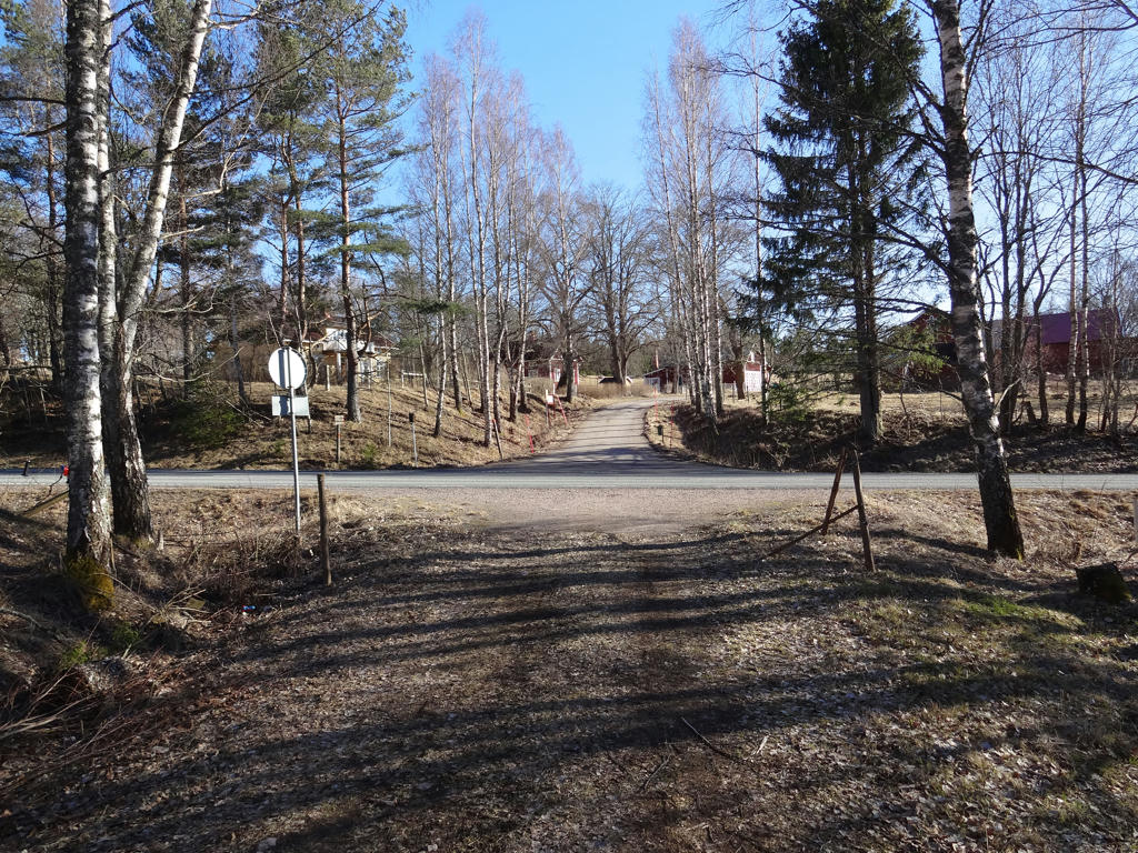
Anyways, the walk was quite interesting and can be divided into two general parts. The first part of the walk (which is about 6 to 7 km) goes through Hjo and then through the open landscape near Hjo. The second part of the walk goes almost entirely through forests, specifically coniferous forests. In either case the walk goes to a large extent on gravel roads (especially in the part of the walk) but there are also short and long segments going on trails in the woods. Both parts of the walk are quite interesting. Hjo is a beautiful town which originated in the 1300s. The terrain around Hjo is flat and fertile/uberous and the landscape is thus very open. The coniferous forests southwest of Hjo (where the trail goes) are quite dark and give a feeling of isolation especially since there is an approximately 11km segment without a single building by the trail. Another thing to note is that it is a region with an unusually large number of anthills. Furthermore I did come across quite a lot of places where the ground was dug by boars. I did not come across any boar though. Even if one would meet a boar (which I never have) there are various precautions one can take. Probably the worst way to react is to try to run away. Boars see quite poorly and usually want to get closer to be able to see if you're a danger or not. Running away means a boar chasing you. Apparently boars are bad at climbing and one way to avoid the risk of the boar coming too close is to stand at a rock.
I don't remember exactly how the weather was but I'm pretty sure it was relatively cold (below 10 degrees) for the most part but at least the sky was clear and it was sunny. I was wearing a thin jacket during the walk and also a beanie and gloves when needed. It was especially windy and cold when walking the first 6 to 7 kilometers (in particular when walking through the open landscape).
Anyways, I hope you enjoy the photos!
1.
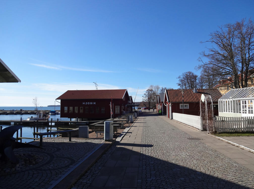
Hjo harbor. Rotated and cropped the photo. Also used the hue restorer plug-in to reduce the cyan-ish sky color.
2.
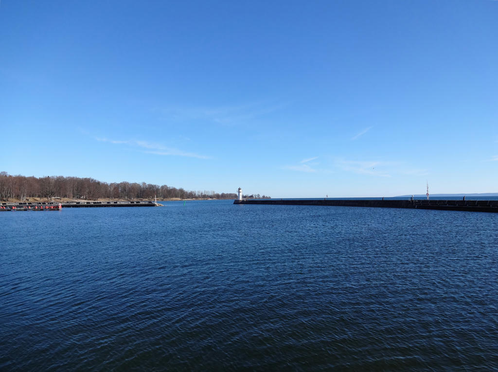
Vättern. Rotated and cropped the photo. Also used the hue restorer plug-in to reduce the cyan-ish sky color.
3.
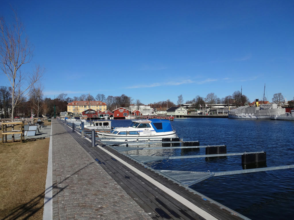
Hjo harbor.
4.
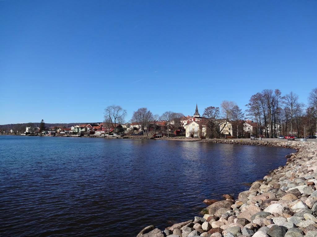
View of Hjo from the harbor. Rotated and cropped the photo.
5.
Mallards. Rotated and cropped the photo.
6.
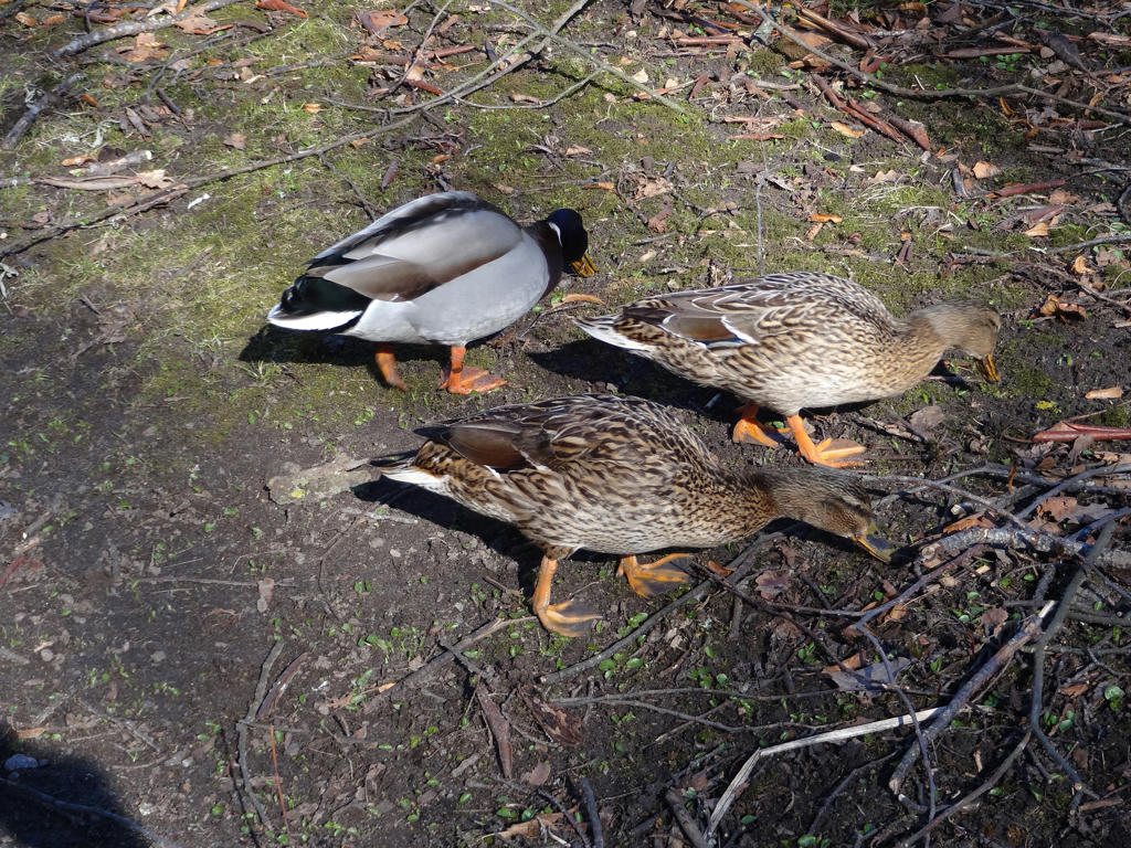
Mallards
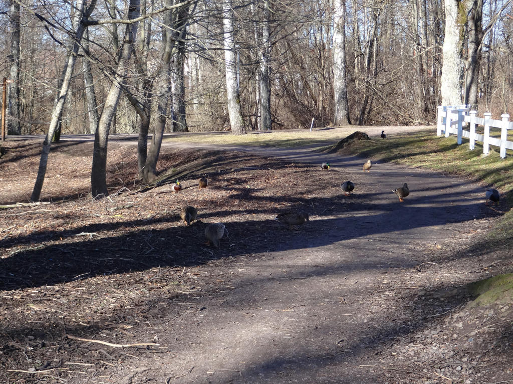
7.
In the Hjoåns dalgång (Hjoån's dell) nature reserve.
8.
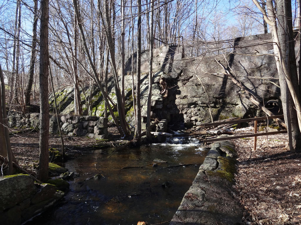
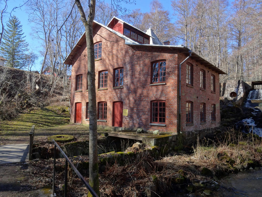
Remains of Strömholm's Wool Factory
Strömholms Yllefabrik (Strömholm's wool factory) was built during the 1890s. It was destroyed in a fire in 1922 and hasn't been rebuilt.
Used the hue restorer plug-in to reduce the cyan-ish sky color.
Strömholms Yllefabrik (Strömholm's wool factory) was built during the 1890s. It was destroyed in a fire in 1922 and hasn't been rebuilt.
Used the hue restorer plug-in to reduce the cyan-ish sky color.
9.
Grebban's Mill (Grebbans Kvarn)
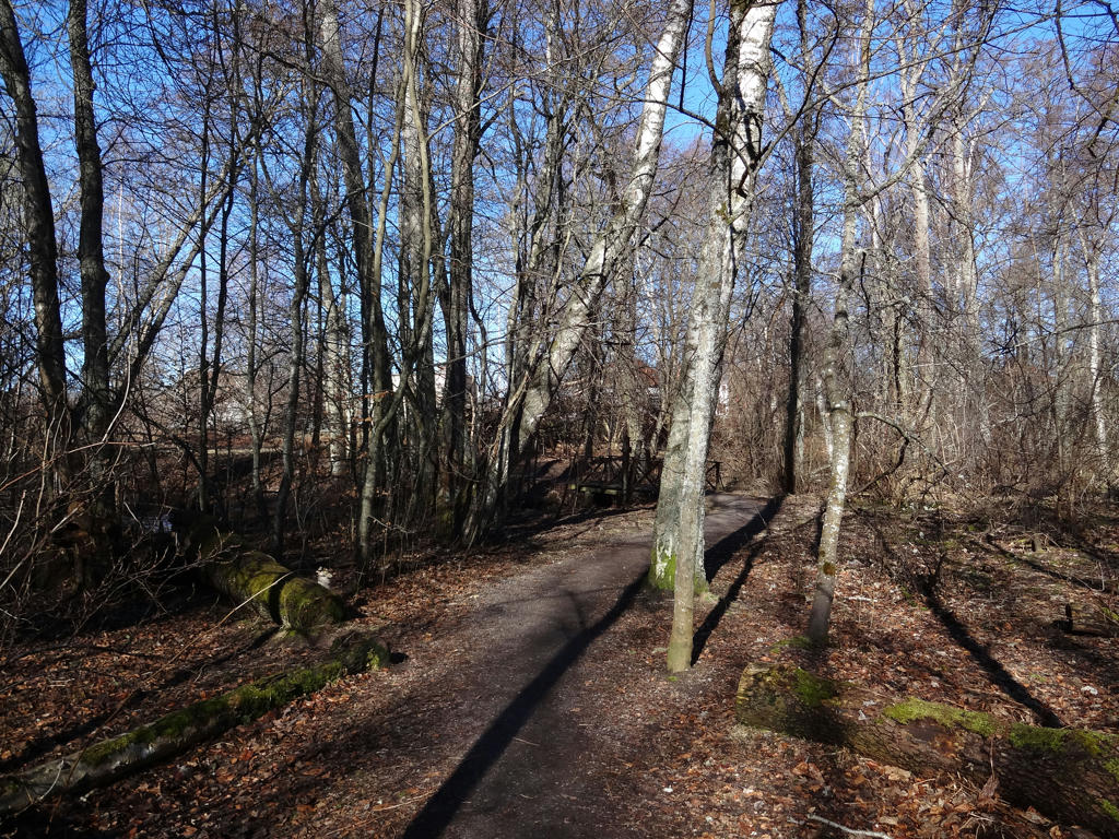
10.
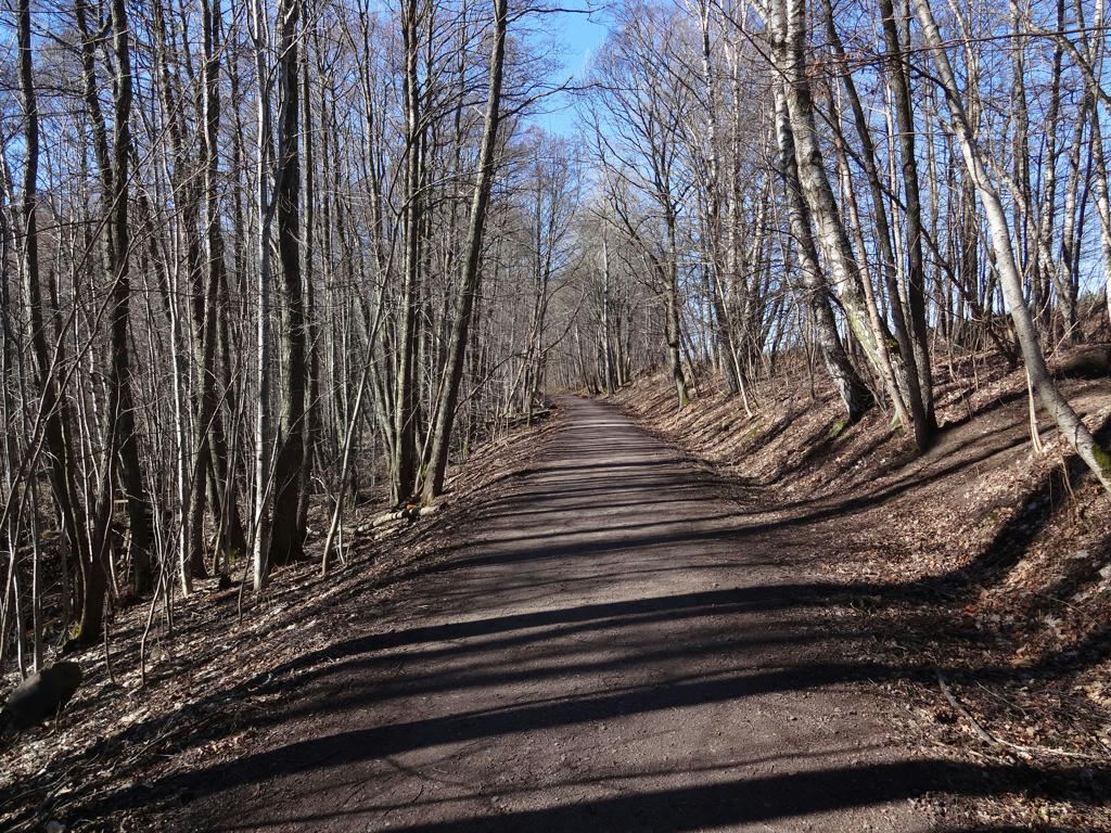
The trail follows the railway enbankment where the railroad between Hjo and Stenstorp once went. This stretch was part of the Västra Götaland narrow-track network.
Used the hue restorer plug-in to reduce the cyan-ish sky color.
Used the hue restorer plug-in to reduce the cyan-ish sky color.
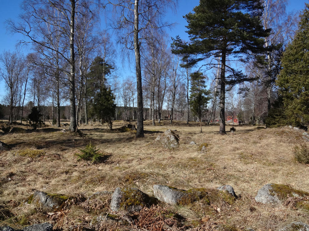
11.
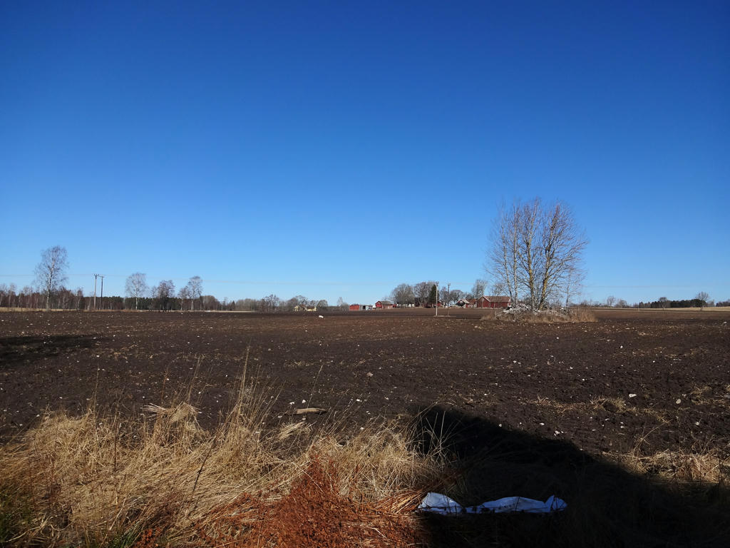
Open landscape near Hjo. Used the levels tool to first brighten the photo overall and then to brighten the non-sky parts further.
12.
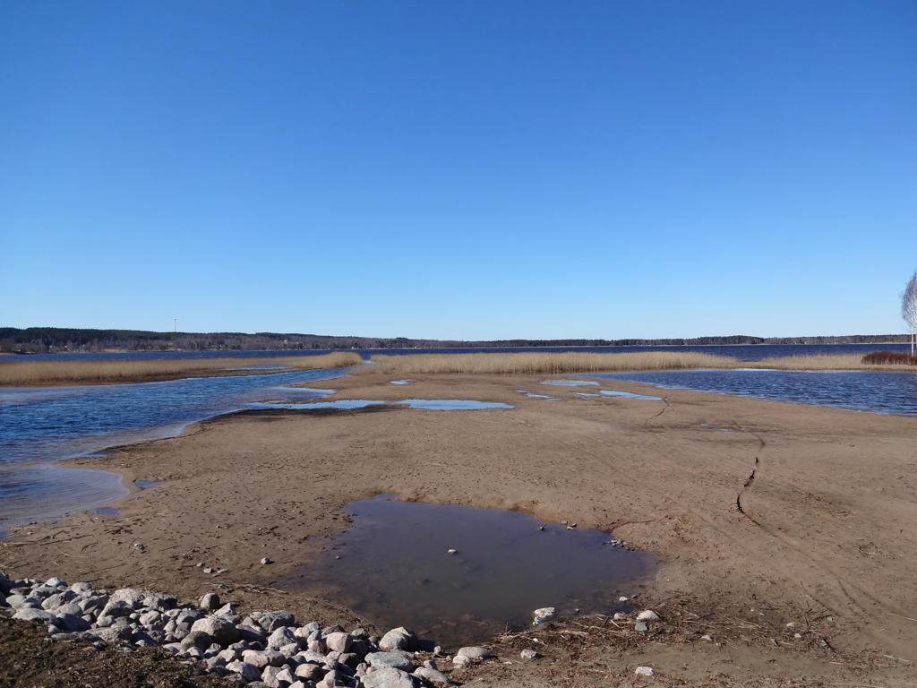
Mullsjön (at Stämmorna).
Iron ore was extracted from the lake until 1934. The ore had an iron content of about 30 percent and the business was quite profitable. Throughout the years the water level in Mullsjön has decreased by 3m, which significantly reduced the area of the lake.
At Stämmorna the water level in Mullsjön is regulated. Back in the days one could take the narrow gauge railway from Hjo to visit the nice beach which used to be here.
13.
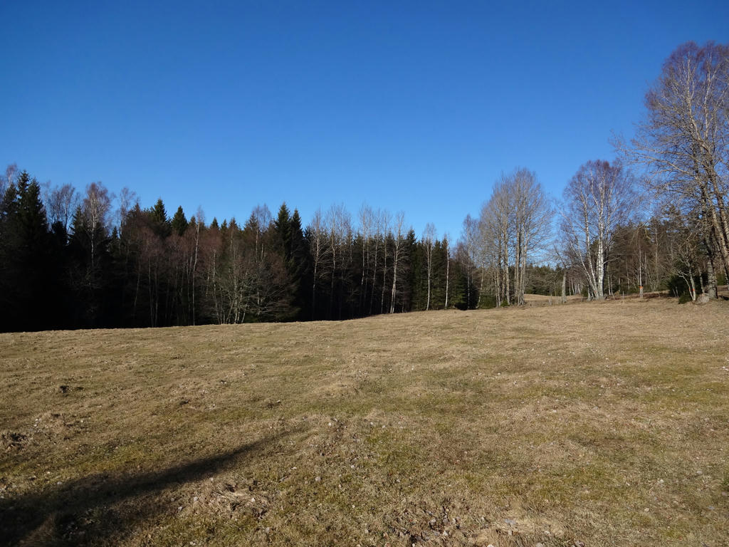
Meadow near Missveden.
14.
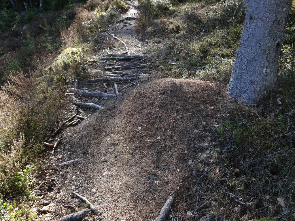
Just one of the countless anthills I've encountered during this walk.
15.
Sharpened the photo slightly using unsharp mask.
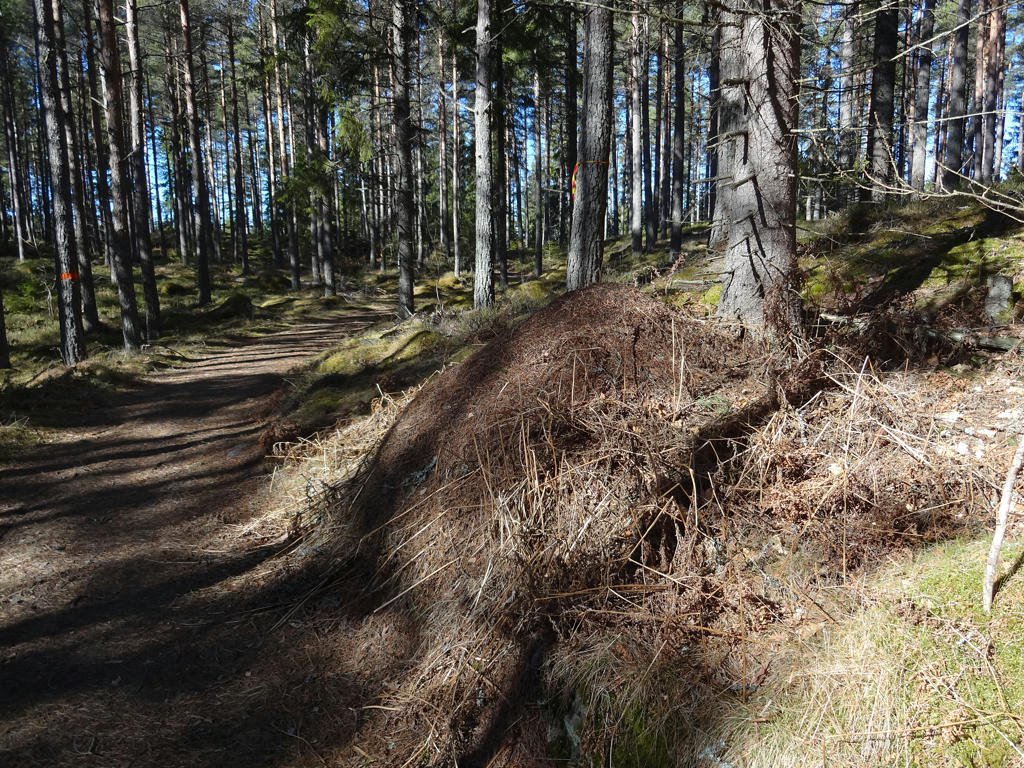
16.
For the non-sky parts I used the levels tool to reduce the effect of the blue channel (reduce the blue cast).
17.
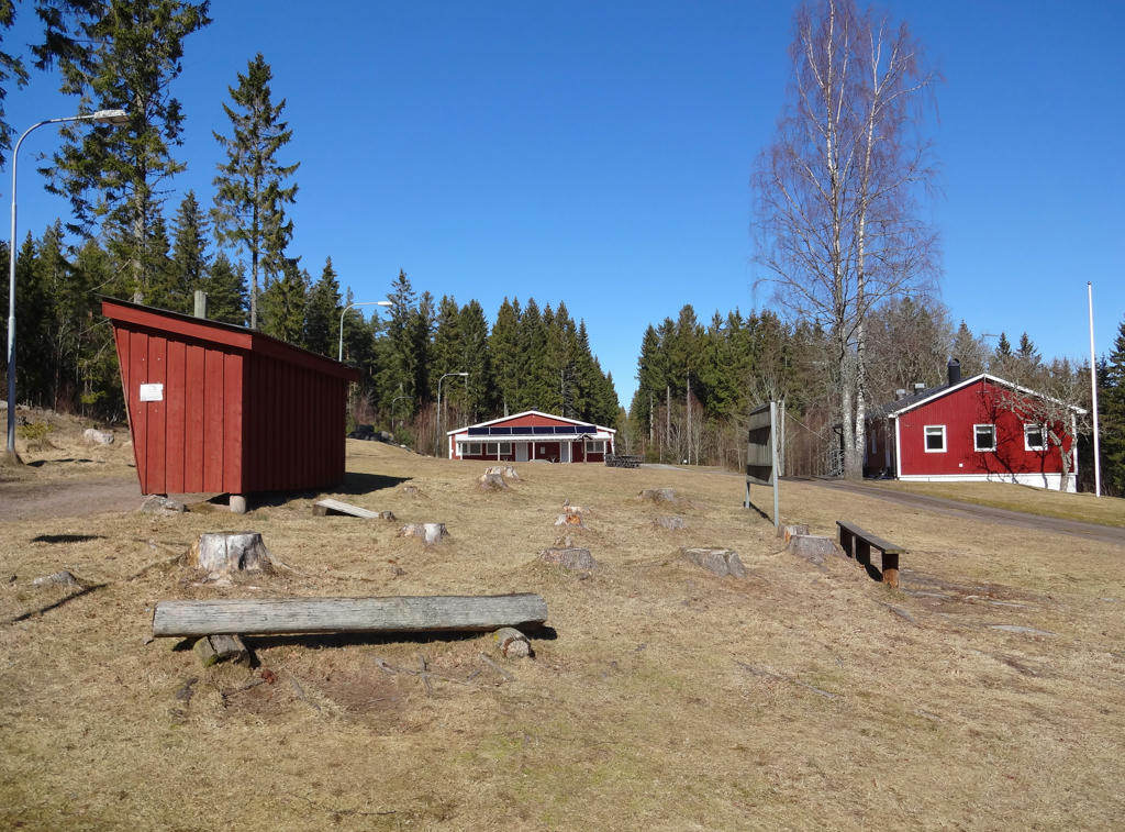
Högaliden exercise center. Rotated and cropped the photo.
18.
Used the hue restorer plug-in to get rid of the cyan-ish sky color.
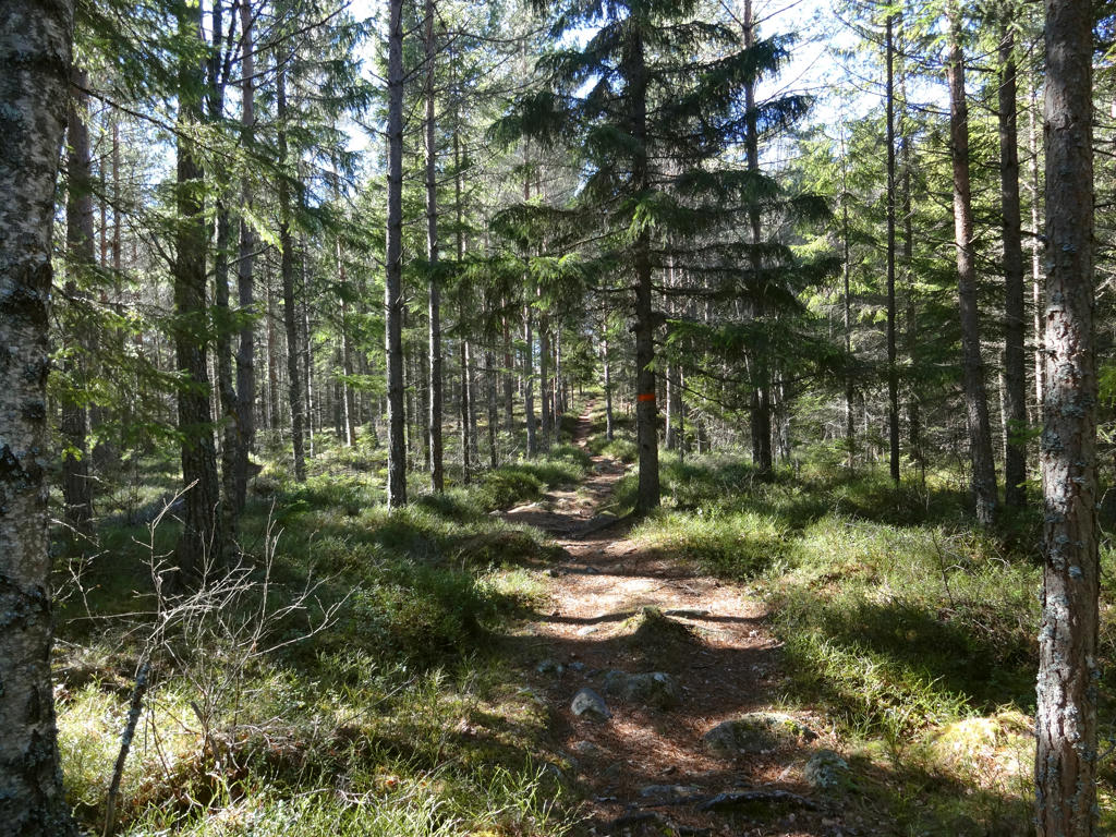
19.
20.
Used the hue restorer plug-in to reduce the cyan-ish sky color.
21.
22.
Just one of the places where the ground has been dug by boars.
23.
Rapperyd
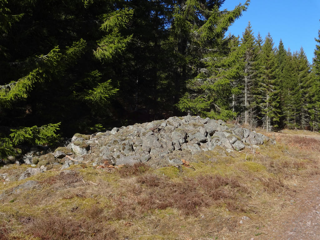
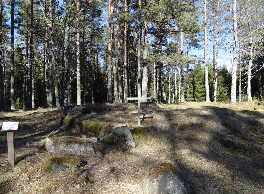
Rapperyd was one of the many homesteads which lied by the old road. The homestead was mentioned in 1795 and was back then located below Almnäs. It was a place where the youth from the region used to gather and assort. The large clearance cairns by the road indicates where Rapperyd used to be located.
Rapperyd was one of the many homesteads which lied by the old road. The homestead was mentioned in 1795 and was back then located below Almnäs. It was a place where the youth from the region used to gather and assort. The large clearance cairns by the road indicates where Rapperyd used to be located.
24.
View from Getaryggen
The trail follows a long and beautiful boulder-ridge which is also the the border between four parishes and two municipalities: betweeen Norra Fågelås, Södra Fågelås, Korsberga and Fröjered's parishes and betweeen the Tidaholm and Hjo municipalities.
The trail follows a long and beautiful boulder-ridge which is also the the border between four parishes and two municipalities: betweeen Norra Fågelås, Södra Fågelås, Korsberga and Fröjered's parishes and betweeen the Tidaholm and Hjo municipalities.
25.
Getaryggen
26.
Kärrabo
Kärrabo was according to the real estate register a monastery homestead of size 1/2 hides in 1563. In those times the name was spelled as Kierreboll. Kärrabo later became a homestead where people for the most part did work in the forest for Almnäs. As was the case also in other places, the property's standard varied over the years. In a text from 1697 the following is said: "Kiärebodh berättas 1681 ha varit ett gott hemman - nu växer uti eldstaden en stor gran." (Which means: Kärrabo was said in 1681 to be a good homestead but now there's a large fir tree growing at the fireside). In 1736 the farmer (frälsebonde) Per Persson was sentenced to pay 115 riksdaler (old Swedish currency) because of his illegal lumbering. Since he wasn't able to pay, the sentence was changed: "I brist på Penningeböter afstraffas Per Persson med 39 Par Spö, 2 slag af vardera Paret" (Which basically means his punishment instead was to get whipped 39 times). Another settler was Sköldalotta, widow after the soldier Erik. She made a living by for instance baking and selling cup-cakes. Among the last people living here was Levin and Augusta Sörman along with their large crowd of children. They had 12 children. By the road one can see the foundation to the byre demolished in the end of the 1990s.
Used the hue restorer plug-in to reduce the cyan-ish sky color. Also cropped the photo slightly.
27.
For the non-sky parts I first used the levels tool to reduce the effect of the blue channel (reduce blue cast). Then I used the levels tool to brighten the non-sky parts slightly.
28.
29.
30.
Baståsen. After finishing walking to Baståsen I actually waited for 1h9min here trying to hitchhike to Tidaholm. For some reason I hadn't checked the bus schedule properly and wasn't aware of that the bus from Rödåkra 1km away goes at this time of day (i.e. in the afternoon). After having no success with hitchhiking (despite a decent number of cars passing by) I instead started walking towards Rödåkra and waited at the bus stop. It turned out I needed to wait for 15 more minutes for the bus to arrive.
Used the hue restorer plug-in to reduce the cyan-ish sky color.
Used the hue restorer plug-in to reduce the cyan-ish sky color.
Inga kommentarer:
Skicka en kommentar