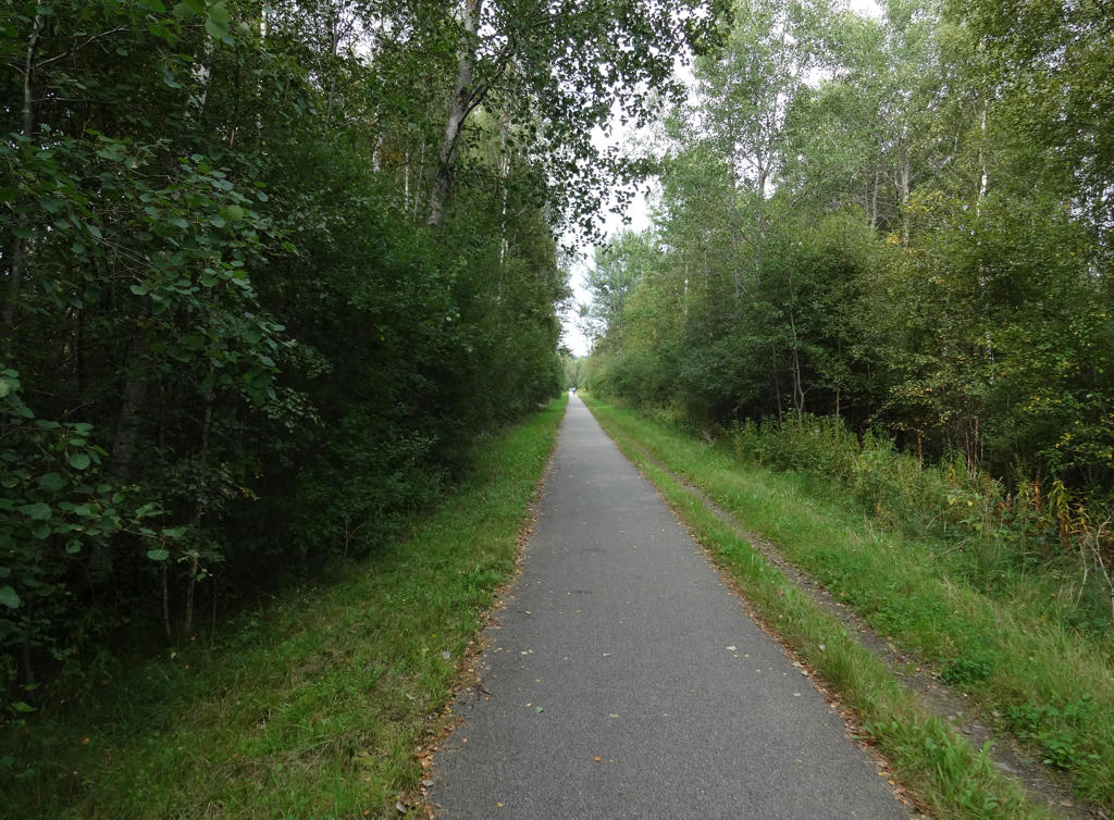
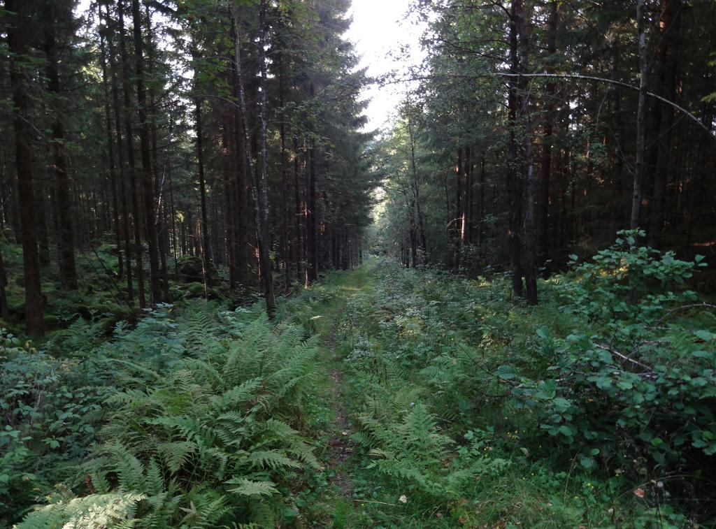
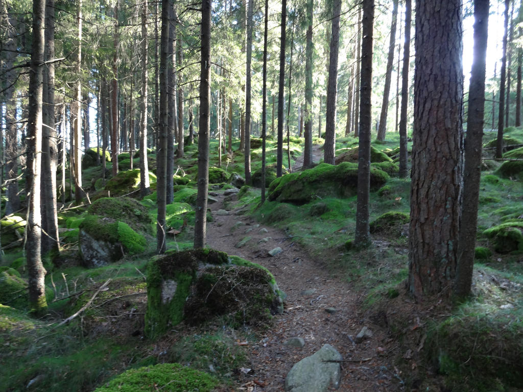
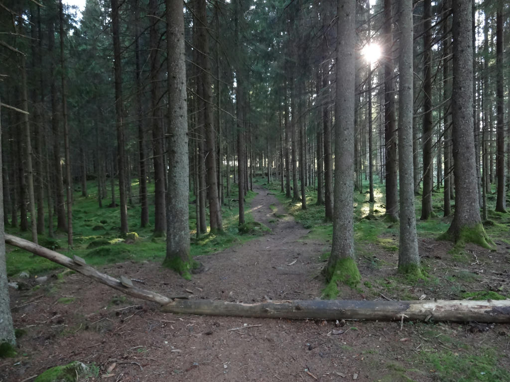
Overall it was a nice walk. There is some small scale farmland on the way but most of the walk goes through the woods. The walk goes for the most part on gravel roads or tractor roads often with paths/trails in-between (often going through pine tree forests). Enough of the introduction, time for the photos. Enjoy!
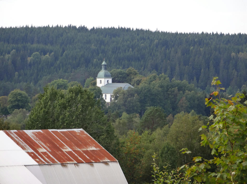
1.
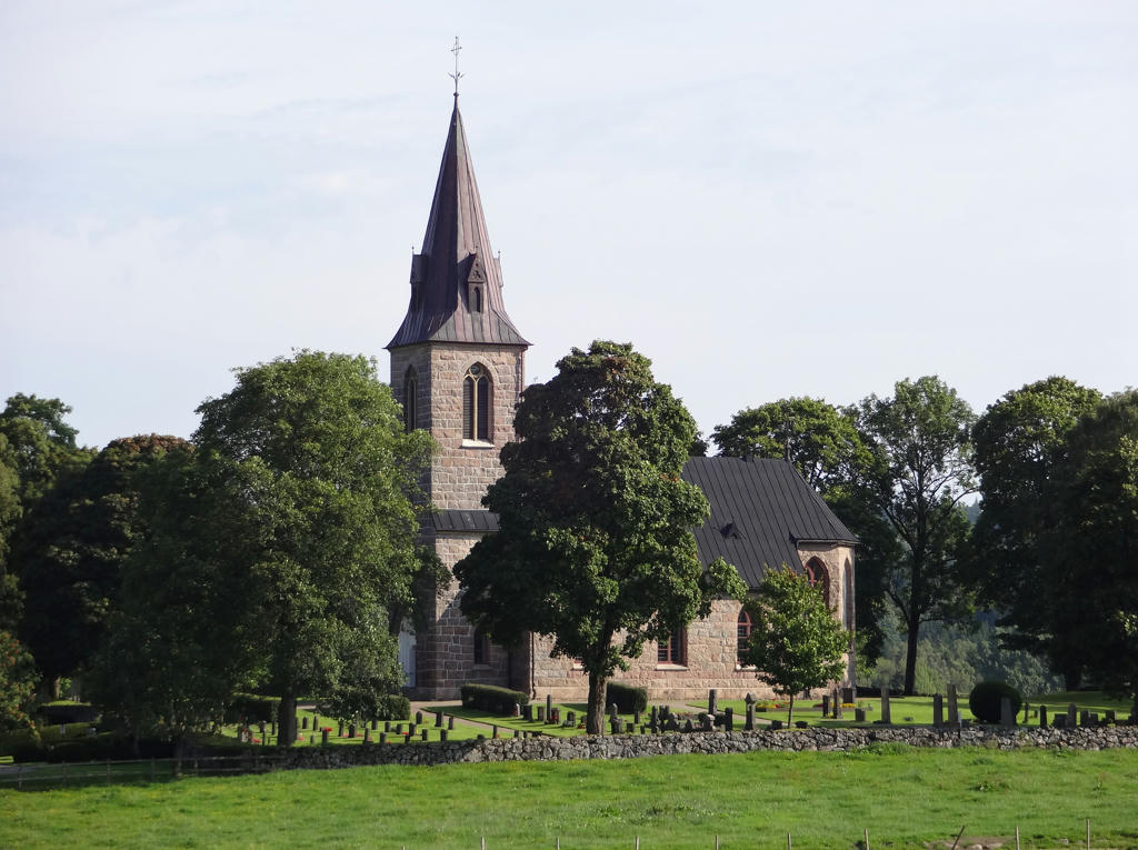
Brunns Kyrka. Rotated and cropped the photo.
2.
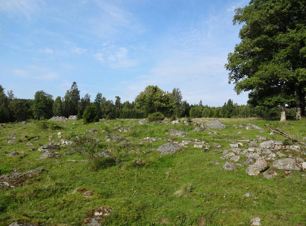
"Prehistoric farmland
This is an area of arable land which has been permanently abandoned but which was shaped by prehistoric farming methods. There may be clearing cairns made up of stones collected from the fields. There may also be traces of the edges of terraced land. Fields dating from the Bronze Age are mostly round or oval, sometimes bowl-shaped, and were farmed using mattocks. When the field was cleared, the stones were moved to the side. Square-shaped prehistoric fields are slightly younger, dating back to the early Iron Age."
Rotated and cropped the photo.
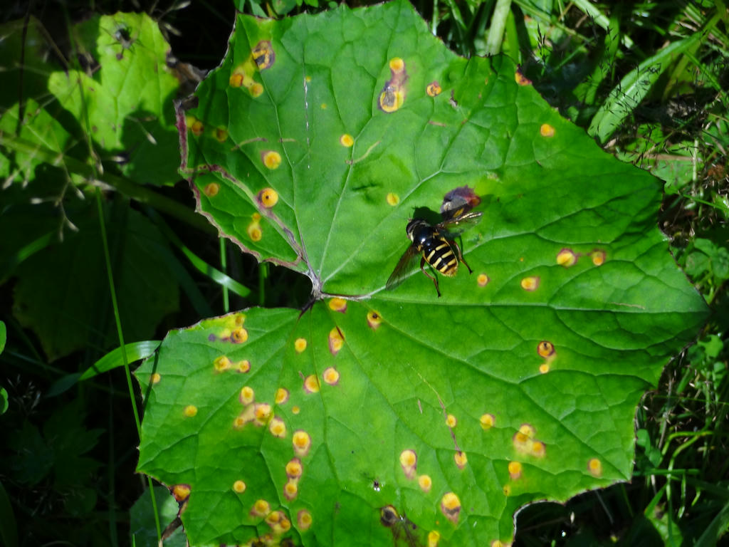
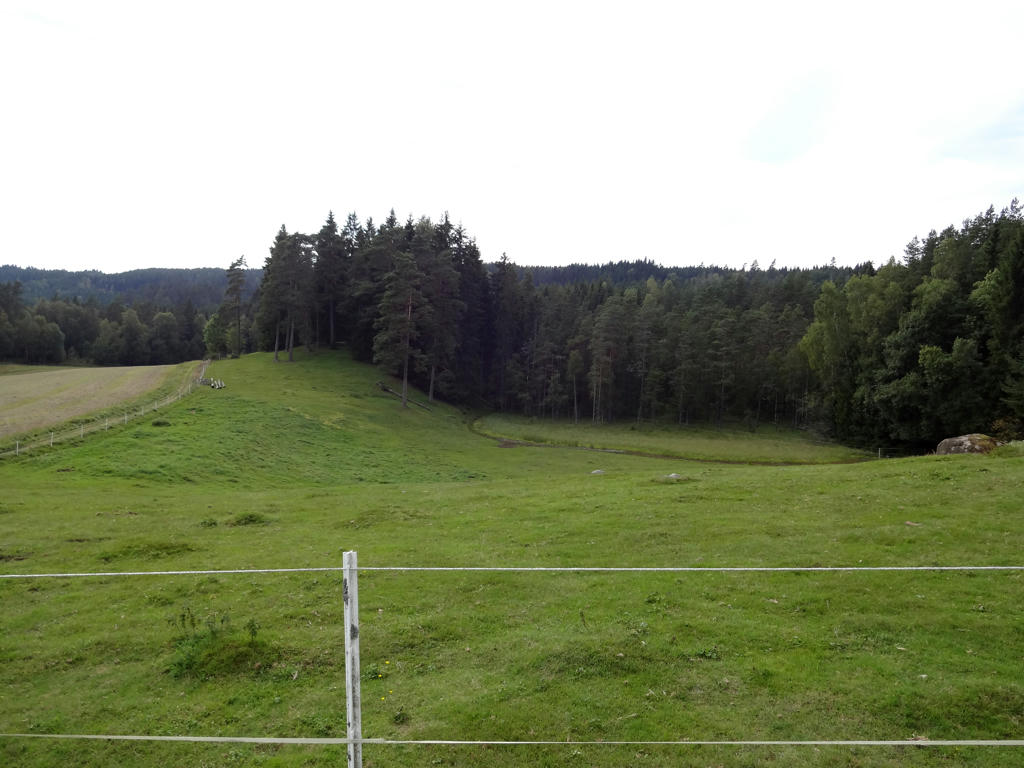
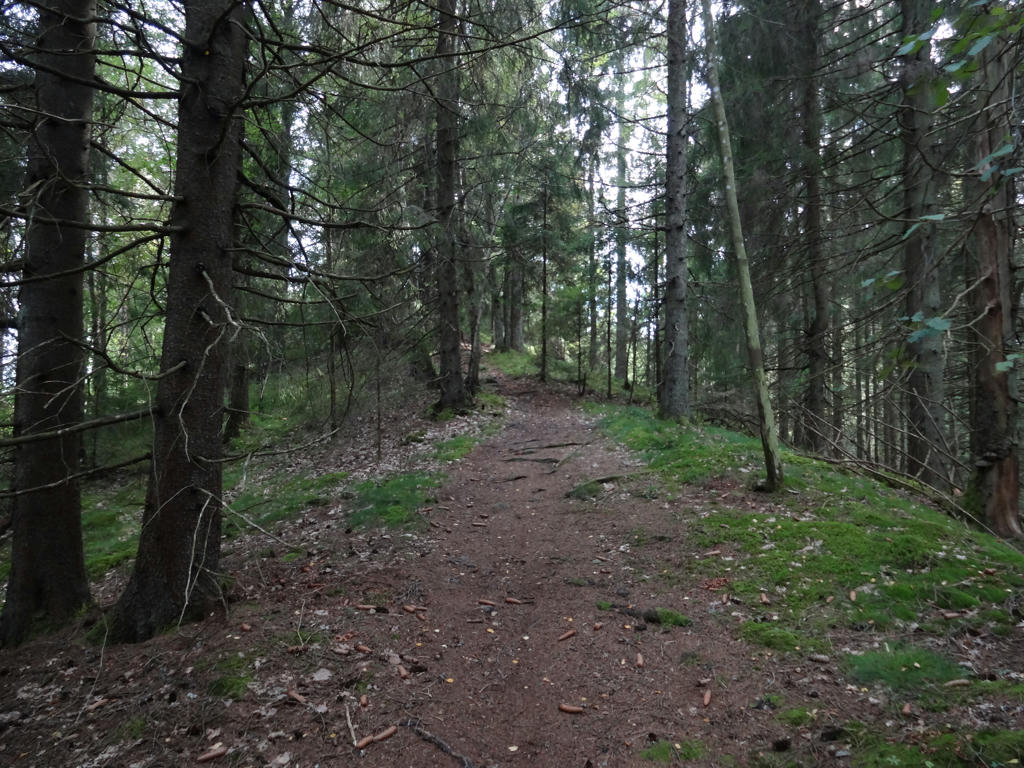
3.
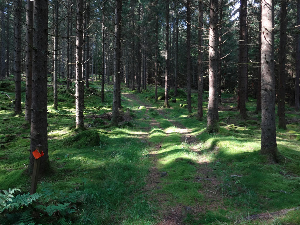
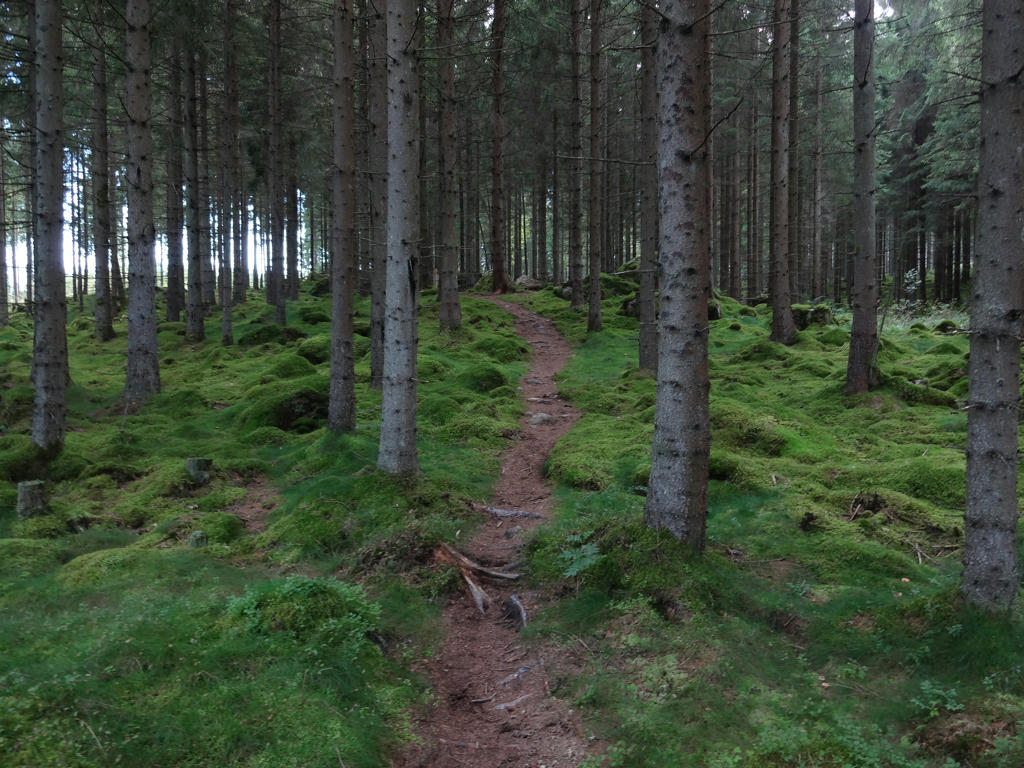
4.
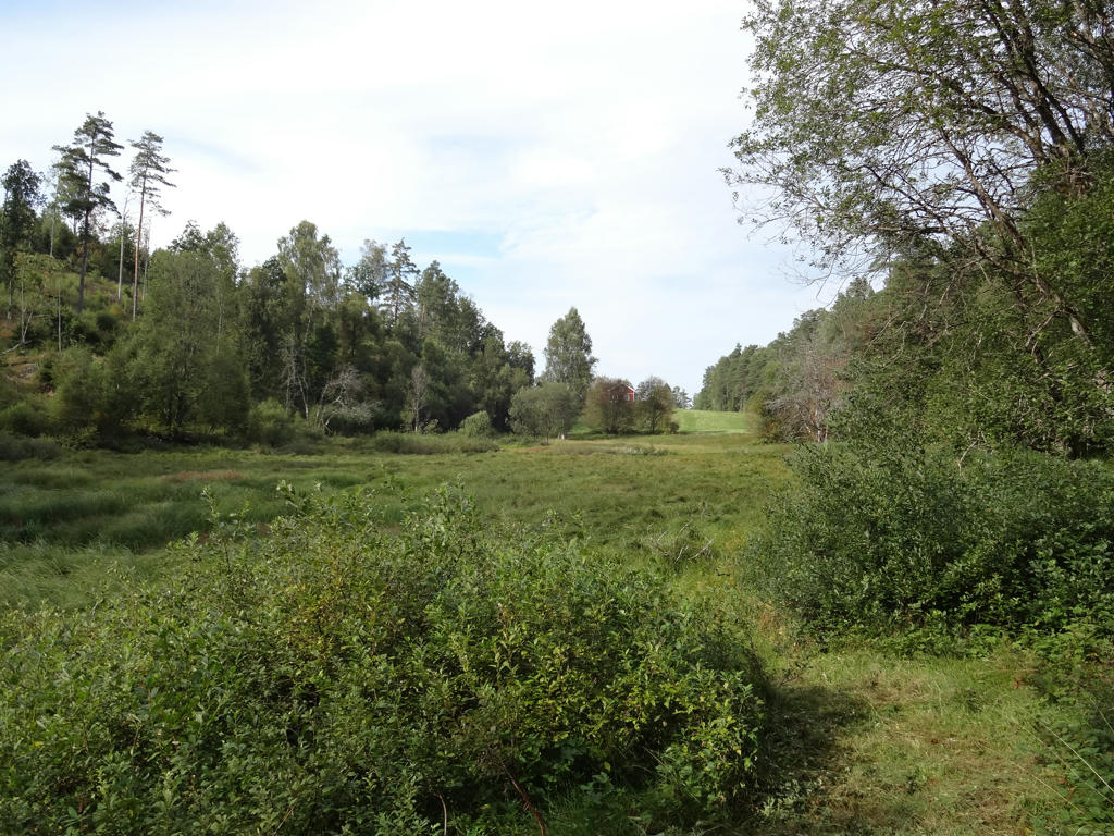
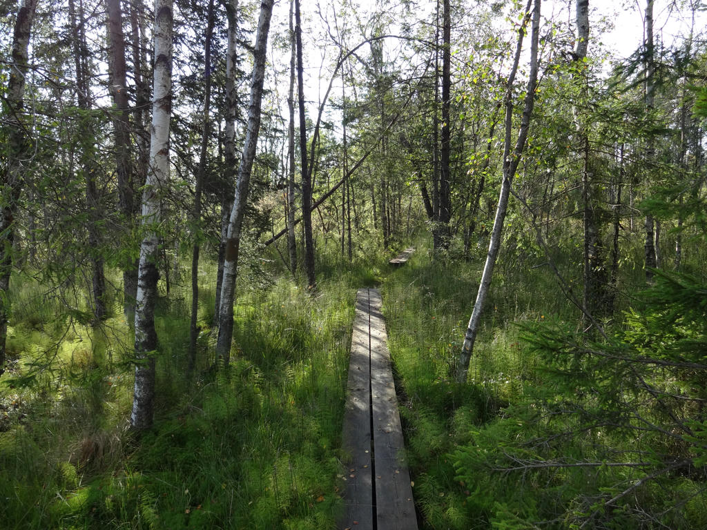
5.
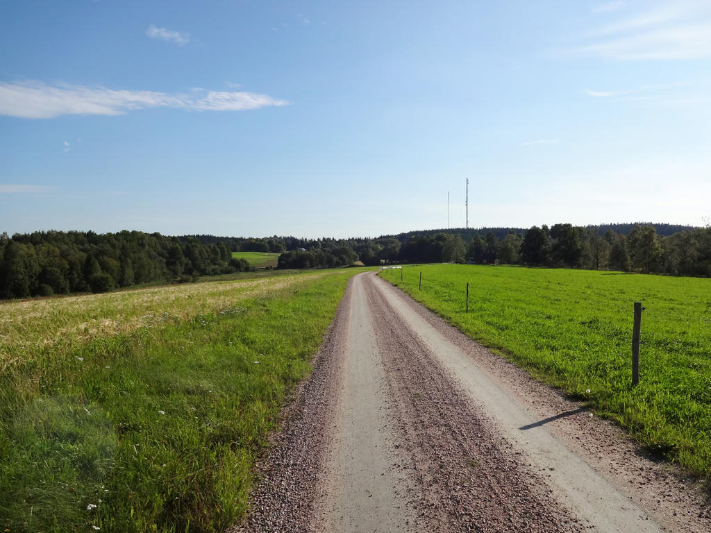
6.
7.
8.
9.
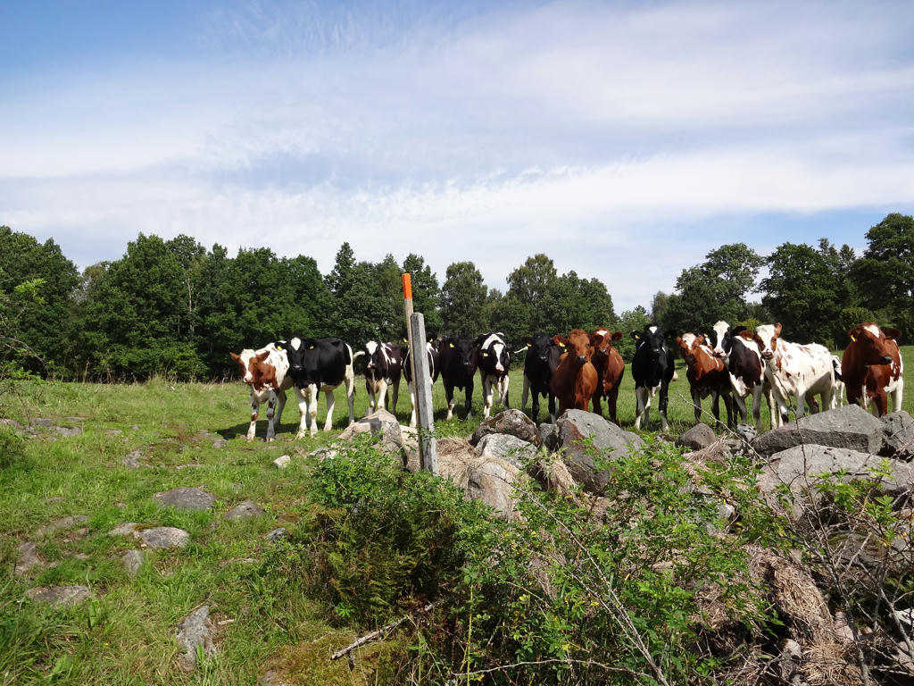
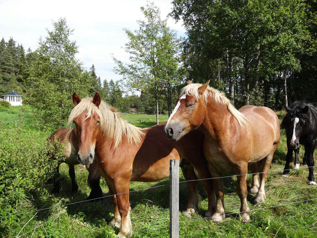
At Fornabo the trail went through a cow pen and when I passed through it there were plenty of cows following me.
10.
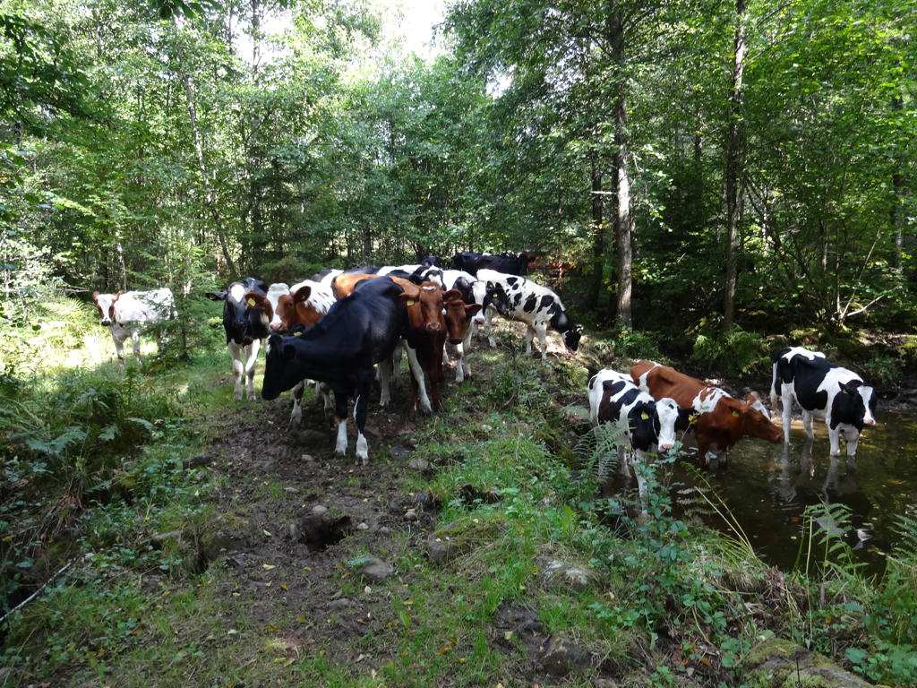
The cows followed me to the end of the cow pen. Here some of them decided to drink water from a pool.
11.
12.
13.
14.
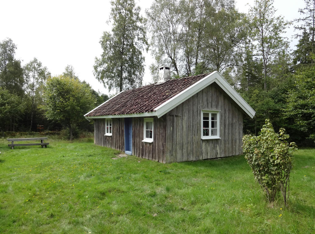
"Raska-Mina's cottage
Raska-Mina's cottage is a beautiful, authentically furnished 19th Century croft. You can enjoy your picnic at Raska-Mina's kitchen table. The cottage is always open."
Rotated and cropped the photo.
Raska-Mina's cottage is a beautiful, authentically furnished 19th Century croft. You can enjoy your picnic at Raska-Mina's kitchen table. The cottage is always open."
Rotated and cropped the photo.
15.
16.
"Old farming landscape at Slätten
An area with several cairns from land-clearing and traces of old fields."
An area with several cairns from land-clearing and traces of old fields."
17.
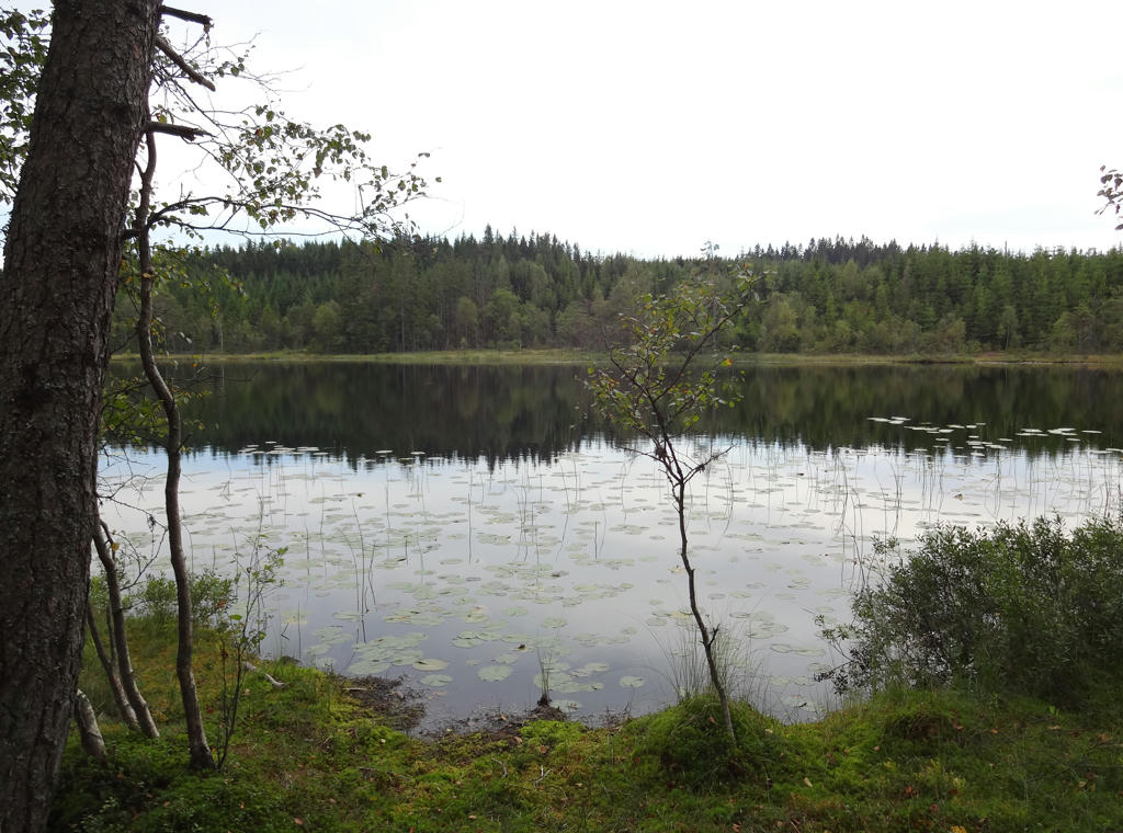
Stora Mögasjön. Rotated and cropped the photo.
18.
19.
"Stårlarpamossen
The Stålarpamossen wetland area has a Class III rating - highest possible eco value - in the City of Borås eco system assessment."
The Stålarpamossen wetland area has a Class III rating - highest possible eco value - in the City of Borås eco system assessment."
20.
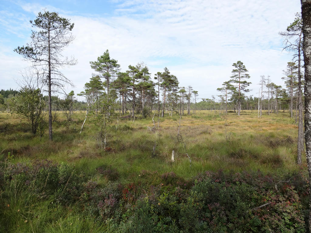
Stårlarpamossen
21.
Toarp Kyrka. Rotated the photo slightly and cropped it. Also darkened the photo slightly using the curves tool.
22.
"Former railway
Trains operated between Borås and Ulricehamn from 1917 to 1986. The railway bed was then bought by the municipalities and turned into a walking and cycle route, which was completed in 2002."
Rotated and cropped the photo.
Trains operated between Borås and Ulricehamn from 1917 to 1986. The railway bed was then bought by the municipalities and turned into a walking and cycle route, which was completed in 2002."
Rotated and cropped the photo.
23.
Darkened the photo slightly using the levels tool.
24.
25.
26.
27.
28.
Brightened the non-sky part using first the curves tool and then the levels tool. Also brightened the sky slightly.
29.
Rotated and cropped the photo.
30.
31.
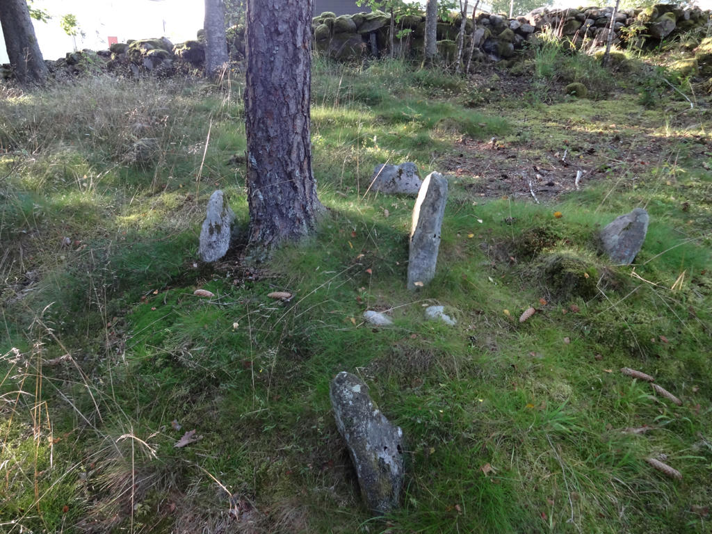
"A boundary marker called "Femstenarör"
The path passes a small area of extremely old farmland. There is a rather rare ancient relic, a boundary marker called "femstenarör", made up of a larger centre stone surrounded by four smaller stones."
Darkened the photo slightly using the curves tool.
The path passes a small area of extremely old farmland. There is a rather rare ancient relic, a boundary marker called "femstenarör", made up of a larger centre stone surrounded by four smaller stones."
Darkened the photo slightly using the curves tool.
32.
Inga kommentarer:
Skicka en kommentar