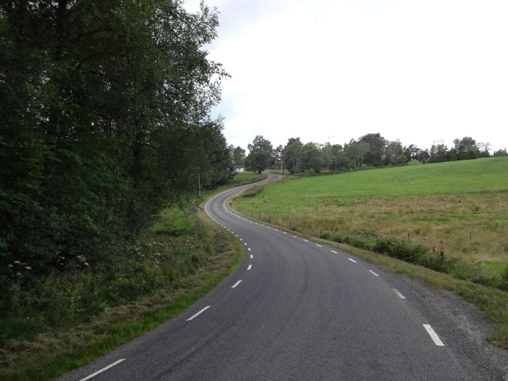
The main characteristic of the walk is that you walk either on asphalt roads or gravel roads almost all the way. The walk goes mostly through forest regions but there's also plenty of small scale farm land on the way. Another characteristic is that there are many villages on the path and it feels like you're far away from any significant conurbation (tätort), especially since the walk takes place mostly on small roads. Overall I enjoyed the walk and don't have any complaints about it. I did get lost at one point but it was mostly my own fault for not paying attention and therefore missing a sign. Enjoy the photos!
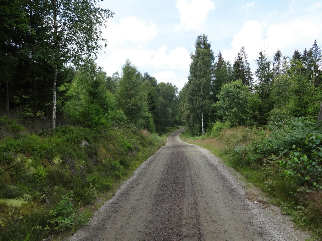
1.
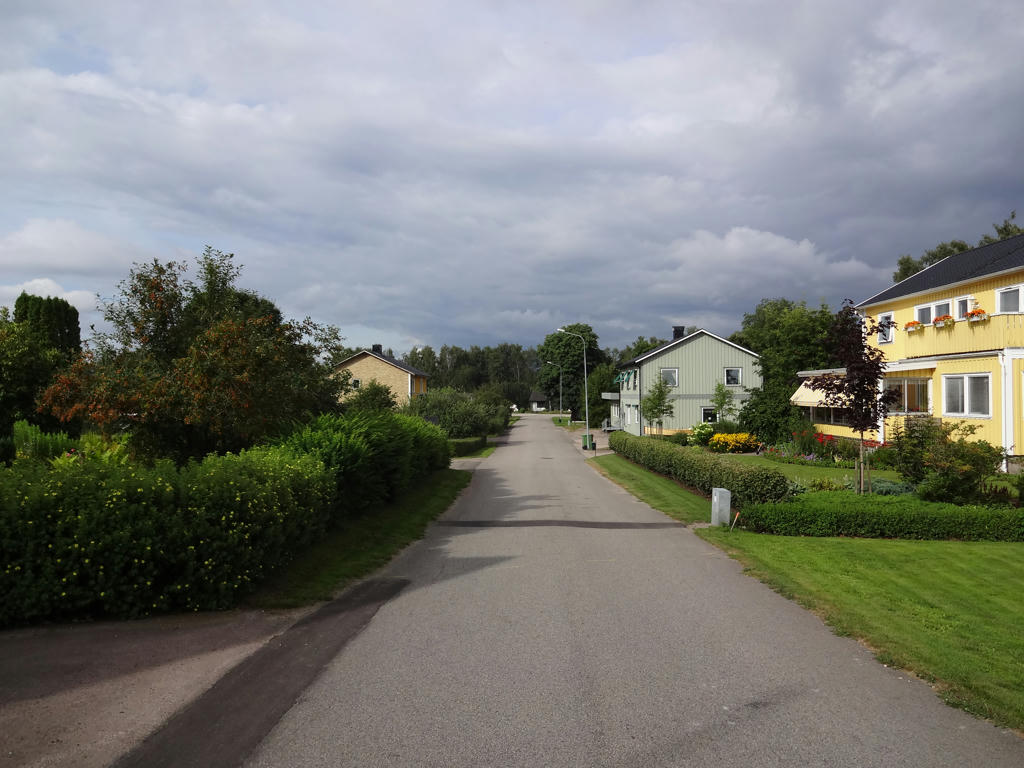
In Ätran.
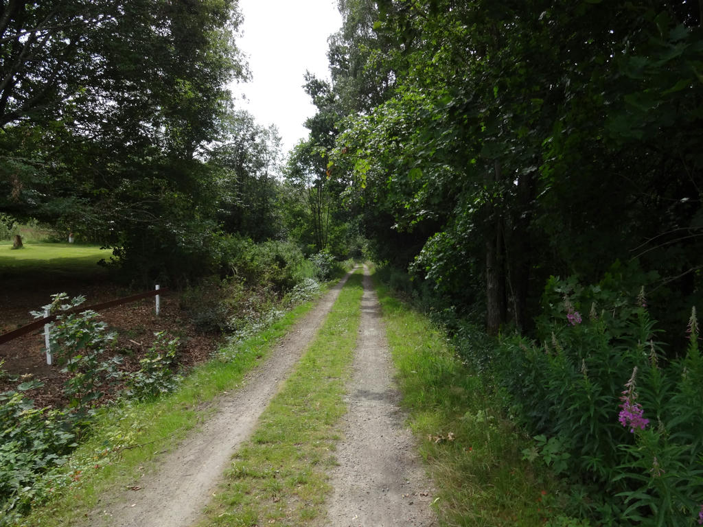
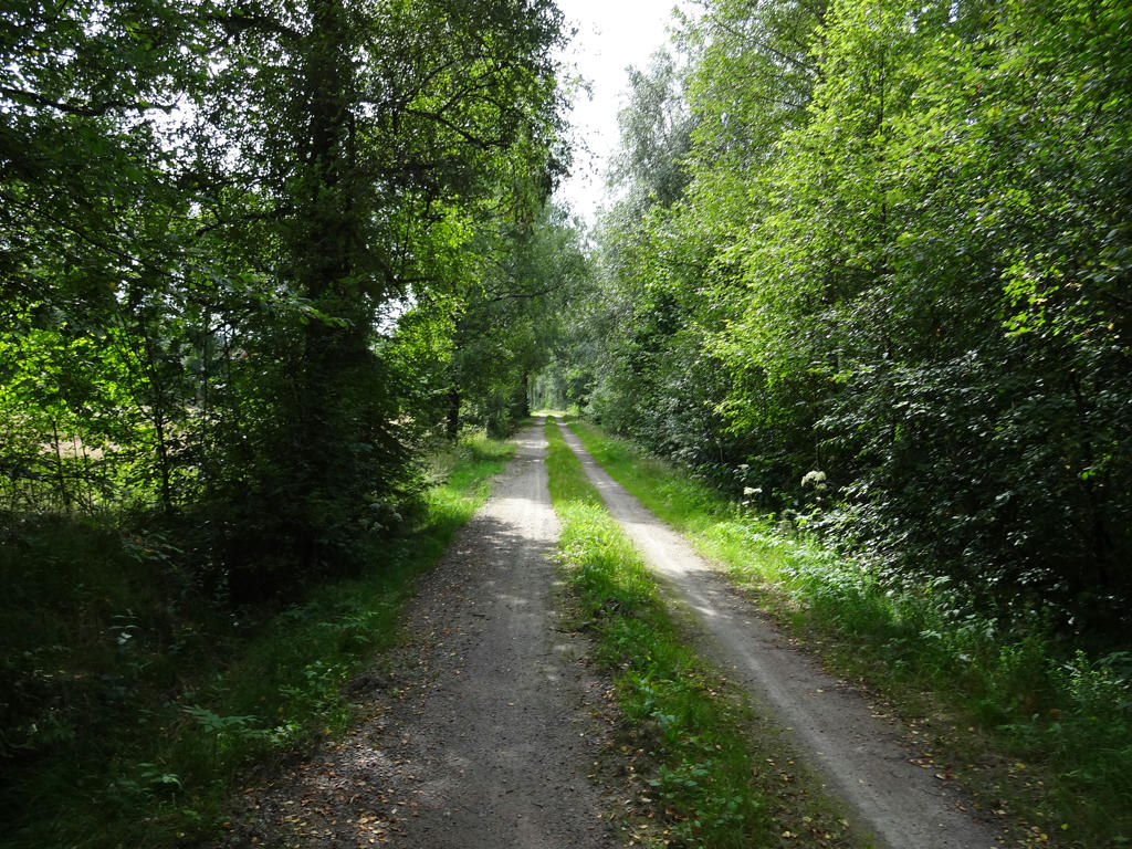
2.
Ätran
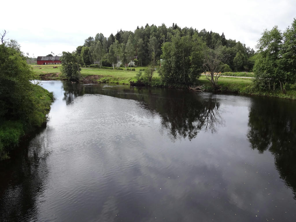
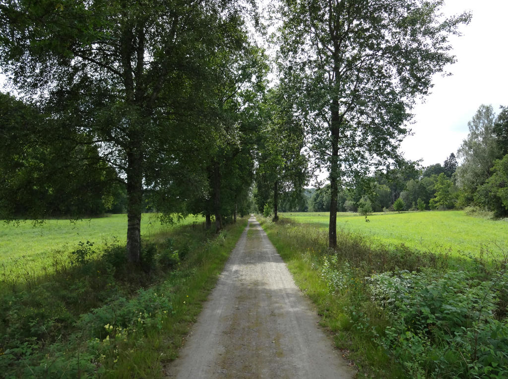
3.
4.
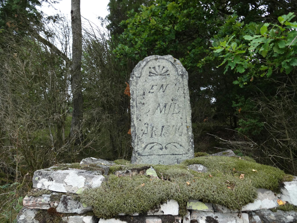
"Milestone
This milestone is from 1846 and shows that you are now following the old highway between Gällared and Gunnarp. There was "1/2 mil" left until the inn in Gunnarp. The equivalent distance today is 5.3kms."
This milestone is from 1846 and shows that you are now following the old highway between Gällared and Gunnarp. There was "1/2 mil" left until the inn in Gunnarp. The equivalent distance today is 5.3kms."
5.
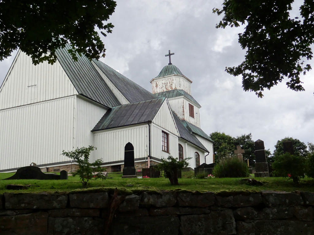
Gunnarp Church
This is one of the very few wooden churches in Halland. It was constructed in 1755-56 and it replaced an older church at the same place.
Increased the overall brightness using the levels tool. Then I increased the brightness for the non-sky parts using the levels tool.
This is one of the very few wooden churches in Halland. It was constructed in 1755-56 and it replaced an older church at the same place.
Increased the overall brightness using the levels tool. Then I increased the brightness for the non-sky parts using the levels tool.
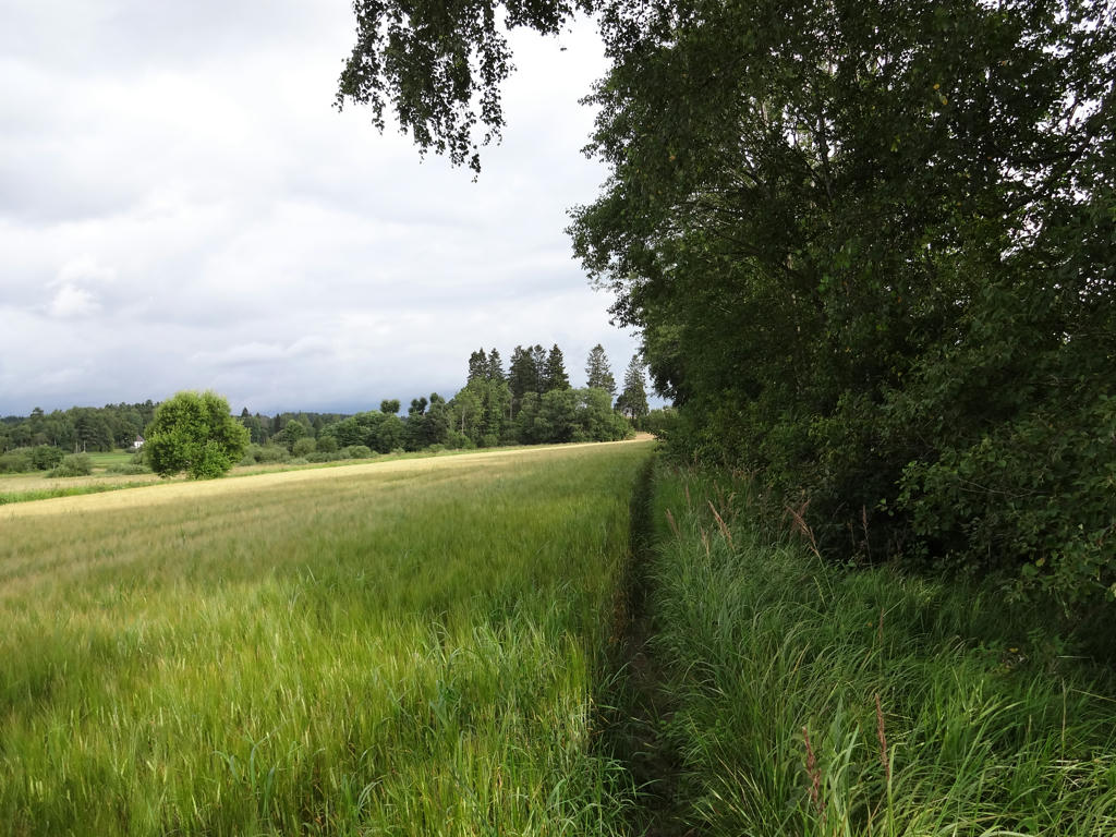
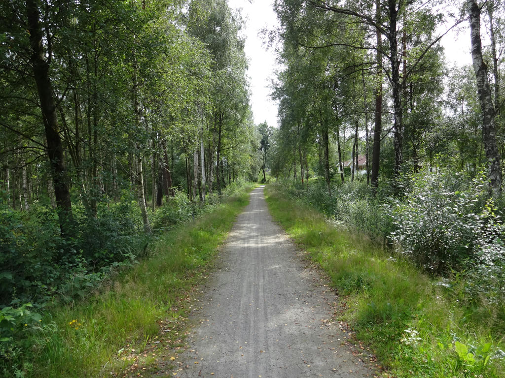
6.
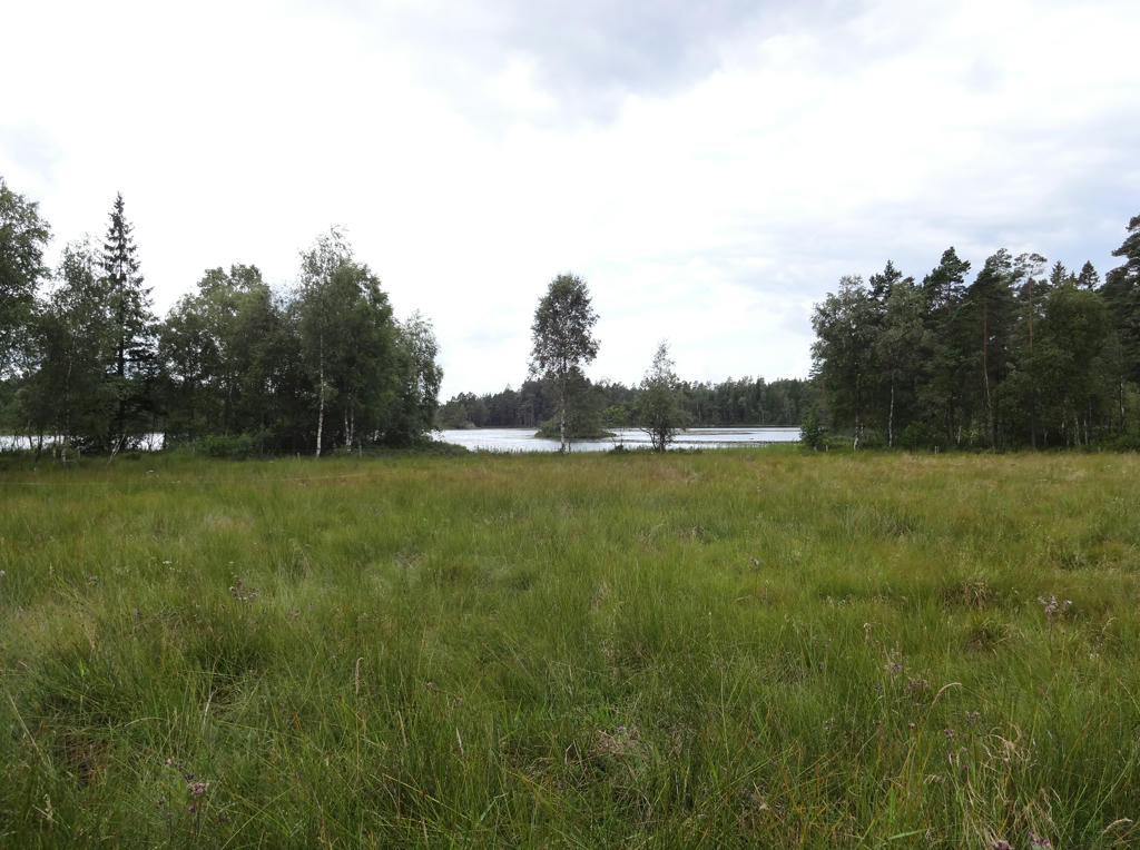
7.
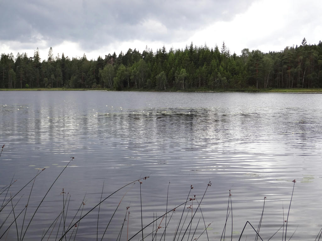
Mjälsjön.
8.
Saxesjön. I reduced the brightness and increased the contrast for the photo using the levels tool. Then I further decreased the brightness using the curves tool.
9.
Bålabron. Rotated and cropped the photo.
10.
Tjärnesjön. Increased the overall brightness using the levels tool. Then for the non-sky parts I increased the brightness using first the levels tool and then the curves tool.
11.
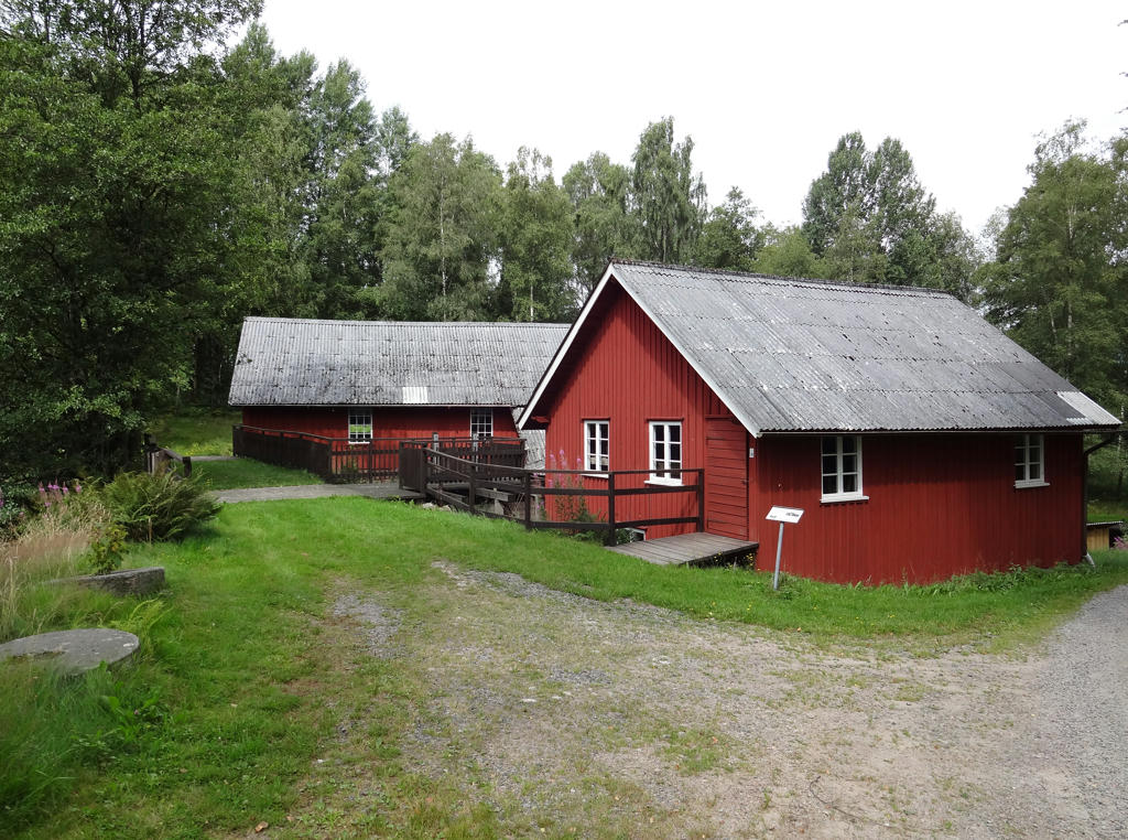
Kärnebygd's saw and mill
The saw and mill in Kärnebygd dates back at least to the 1700s. There are however rumors that a mill existed here already in the 1400s. The first known mill here was a so called "skvalta" which was built sometime in the years 1700-1725.
In 1858 the skvalta mill was replaced with a mill that had a standing water wheel and gear. A so called wheel mill (hjulkvarn) drives the stones with a higher speed compared with a skvalta and can thus mill/grind grain which isn't dried especially much.
The next reconstruction was done in 1906 when the rye mill was added. Consequently the facility got its' current appearence containing two very powerful water wheels placed after each other in the side building.
In 1914 a small 110 volt DC generator driven by the sawmill was installed. Thus the neighborhood recieved electricity but only between 06.00 and 22.00 during the first couple of years. Eventually a large generator with a specific turbine was added and it gave electricity around the clock until 1956 when Yngeredsfors Kraft AB took over the deliveries of the electrity.
Rotated and cropped the photo.
12.
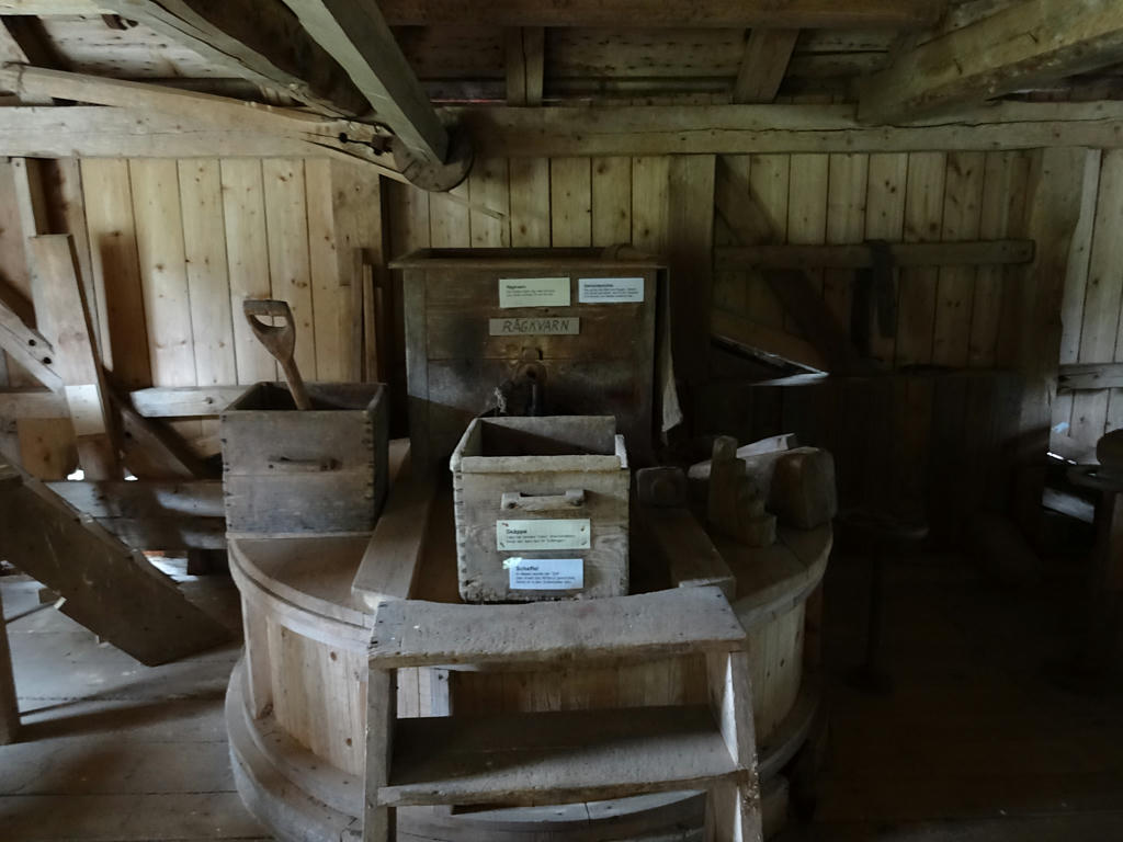
A look inside Kärnebygd's saw and mill. Increased the sharpness of the photo using unsharp mask.
13.
Kalvsjön. Shortly after Kalvsjön I got lost since I didn't see the sign for where I was supposed to be going. Walked around probably up to 30 minutes before I found where to go.
Rotated and cropped the photo. After that I increased the brightness for the non-sky parts slightly using the levels tool.
Rotated and cropped the photo. After that I increased the brightness for the non-sky parts slightly using the levels tool.
14.
Spikån. Increased the brightness for the non-sky parts using the levels tool.
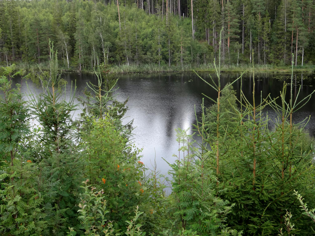
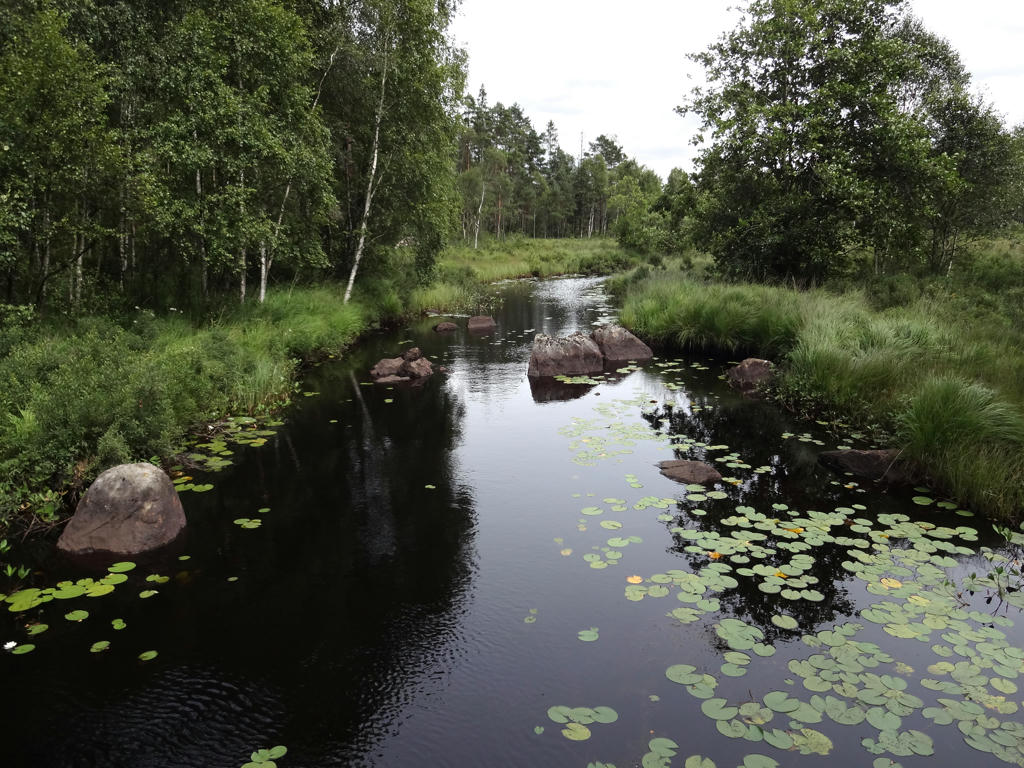
15.
Close to Mellersta Höghult. The lake in the background is St. Gullskivan.
16.
St. Gullskivan. Rotated and cropped the photo.
17.
Removed the cyan-ish sky using the hue restorer plug-in.
18.
After Lia and almost until Ullared the trail goes on the enbankment for Pyttebanan. Today parts of it are used as cycle paths instead.
"You are actually following the old railway enbankment for Pyttebanan - a narrow-gauge railway which ran between Falkenberg and Limmared in Västra Götaland."
"You are actually following the old railway enbankment for Pyttebanan - a narrow-gauge railway which ran between Falkenberg and Limmared in Västra Götaland."
19.
"The River Högvadsån
The River Högvadsån provides important spawning grounds for salmon and is home to a unique strain. The river is not only a favorite habitat for salmon and salmon trout but is also one of the most important watercourses in Halland for the freshwater pearl mussel. This species of mussel can be up to 250 years old and requires clean water for survival. One in fifty mussels contains a pearl."
The River Högvadsån provides important spawning grounds for salmon and is home to a unique strain. The river is not only a favorite habitat for salmon and salmon trout but is also one of the most important watercourses in Halland for the freshwater pearl mussel. This species of mussel can be up to 250 years old and requires clean water for survival. One in fifty mussels contains a pearl."
20.
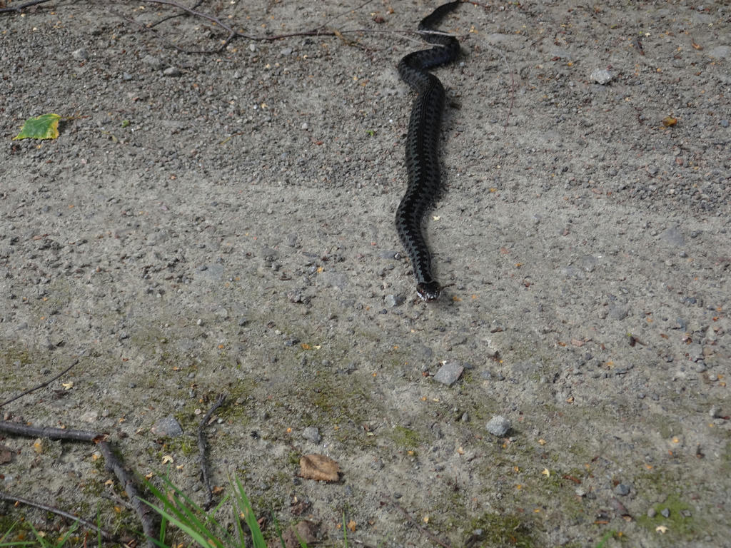
A viper.
21.
22.
Rotated and cropped the photo.
23.
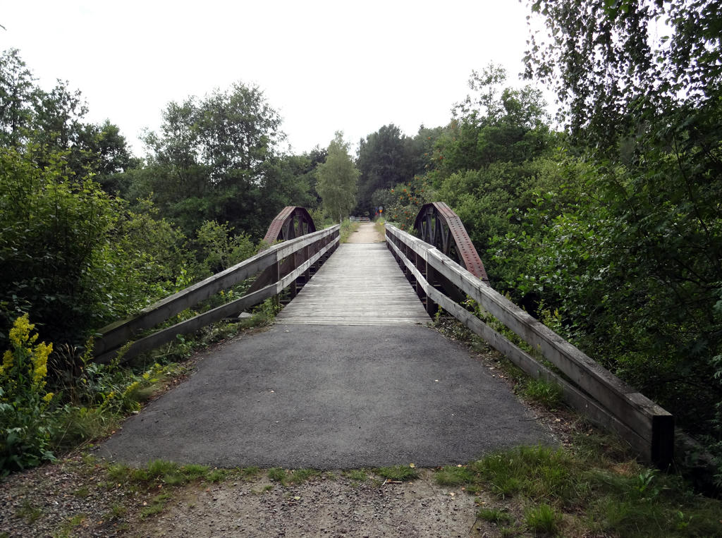
Railway bridge which used to be part of Pyttebanan
"This beautiful railway bridge carried many passing trains and railbuses up until 1959."
Rotated and cropped the photo. Then I equalized the histogram for the non-sky parts.
"This beautiful railway bridge carried many passing trains and railbuses up until 1959."
Rotated and cropped the photo. Then I equalized the histogram for the non-sky parts.
24.
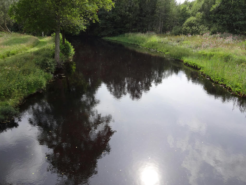
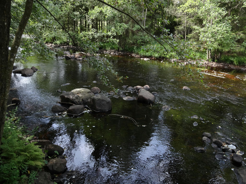
Högvadsån between Århult and Ammås.
25.
Not far from Ullared.
Inga kommentarer:
Skicka en kommentar