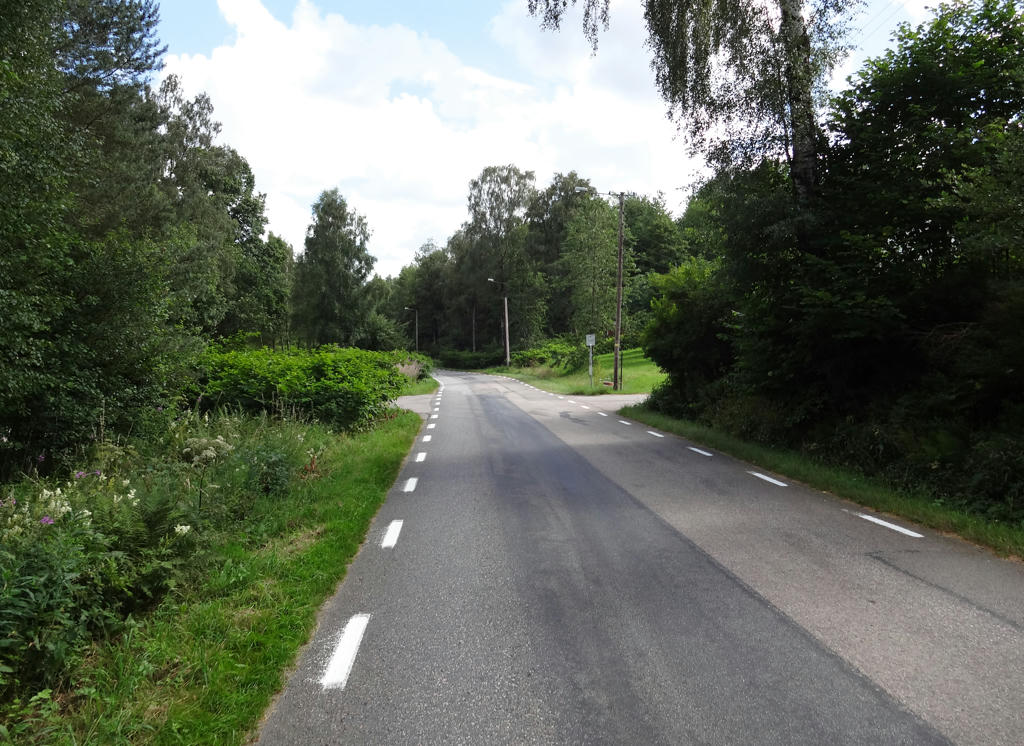
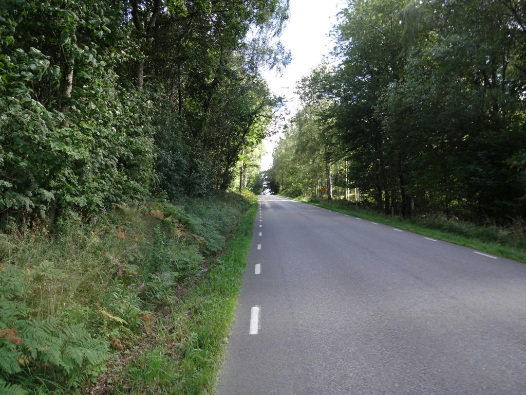
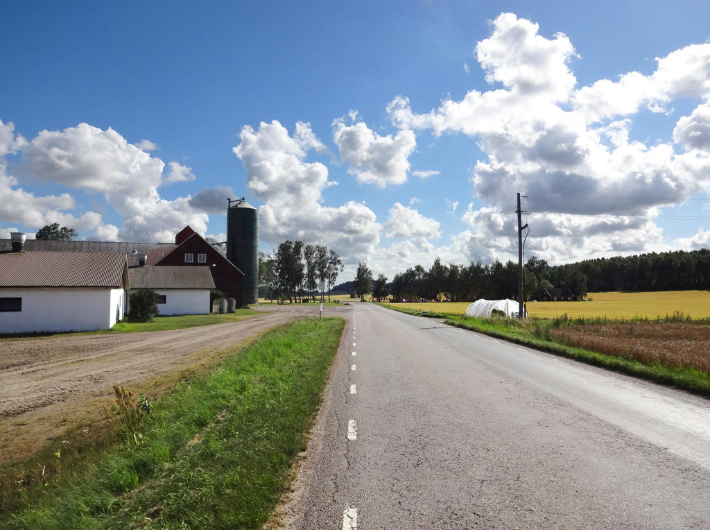
1.
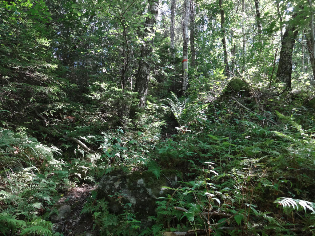
Near Svalåsen.
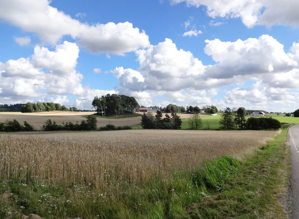
2.
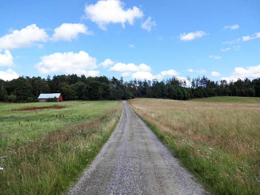
After Myrekull. Used the hue restorer plug-in to get rid of the cyan-ish sky parts. Then I brightened the non-sky parts and increased the contrast using the levels tool.
3.
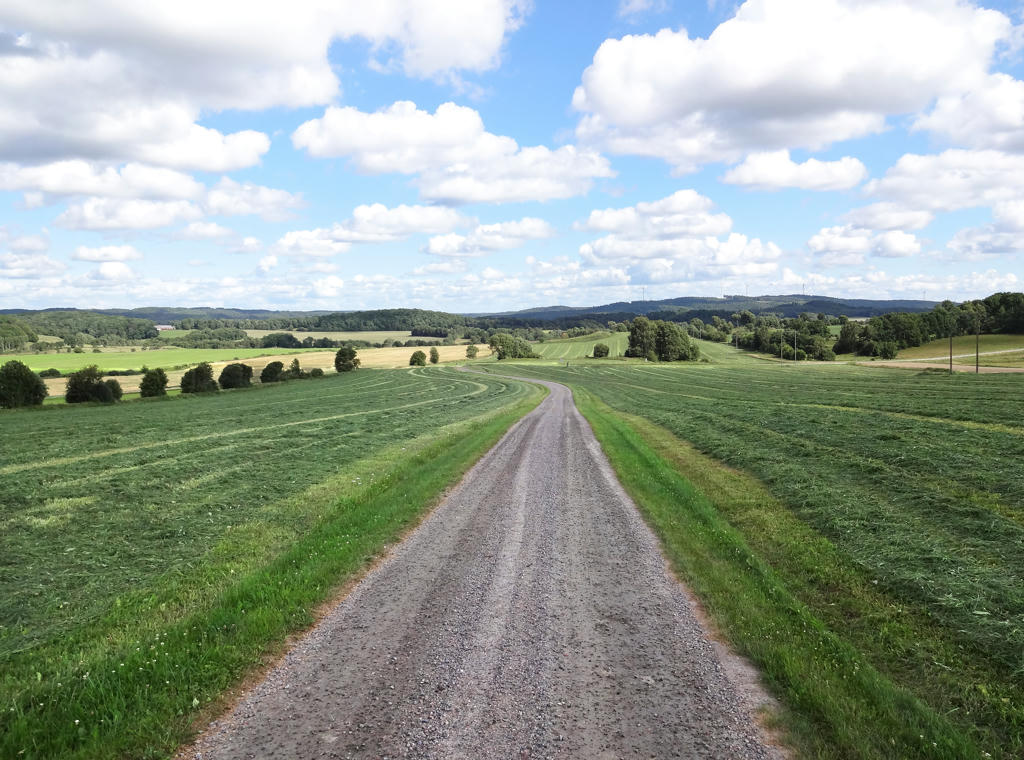
View of the landscape from Kullen. Rotated and cropped the image. Then I removed the cyan-ish sky using the hue restorer plug-in. The foreground region, which is shadowed, was way too dark for some reason and therefore I brightened it (using the levels tool).
4.
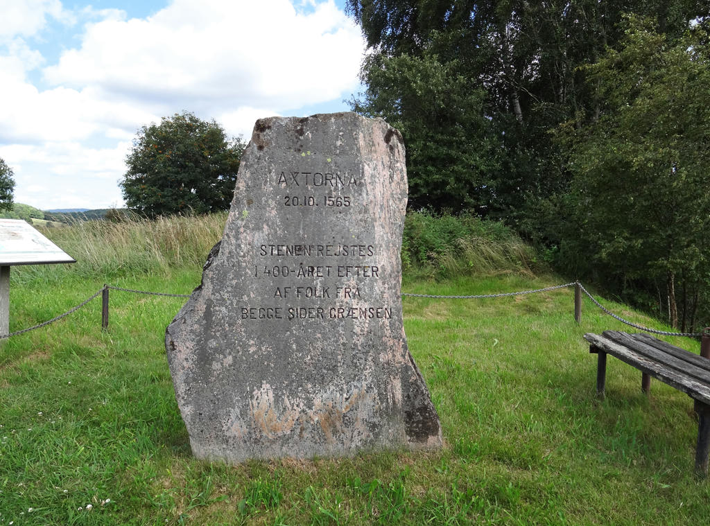
Axtornastenen (The Axtorna Stone)
The bloodiest battle in the nordic seven year war (1593-1570) took place here on Axtorna heath a spring day in 1565 back when Halland was Danish. A Swedish army of 12000 men under the command of Jakob Hästesko had marched from north and set up camp near Svartrå. The Danish army under the command of Daniel Rantzau approached from the south. It consisted of 8000 men, many of which were mercenaries. This stele was raised in 1965, 400 years after the battle.
Used hue restorer plug-in to remove the cyan-ish sky. Then I rotated and cropped the photo. Finally I increased the brightness for the non-sky parts using the levels tool.
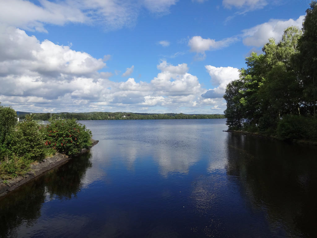
5.
Ätrafors. Removed the cyan-ish sky using hue restorer and then I rotated and cropped the photo.
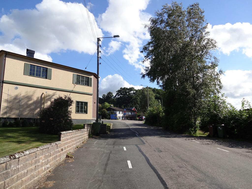
6.
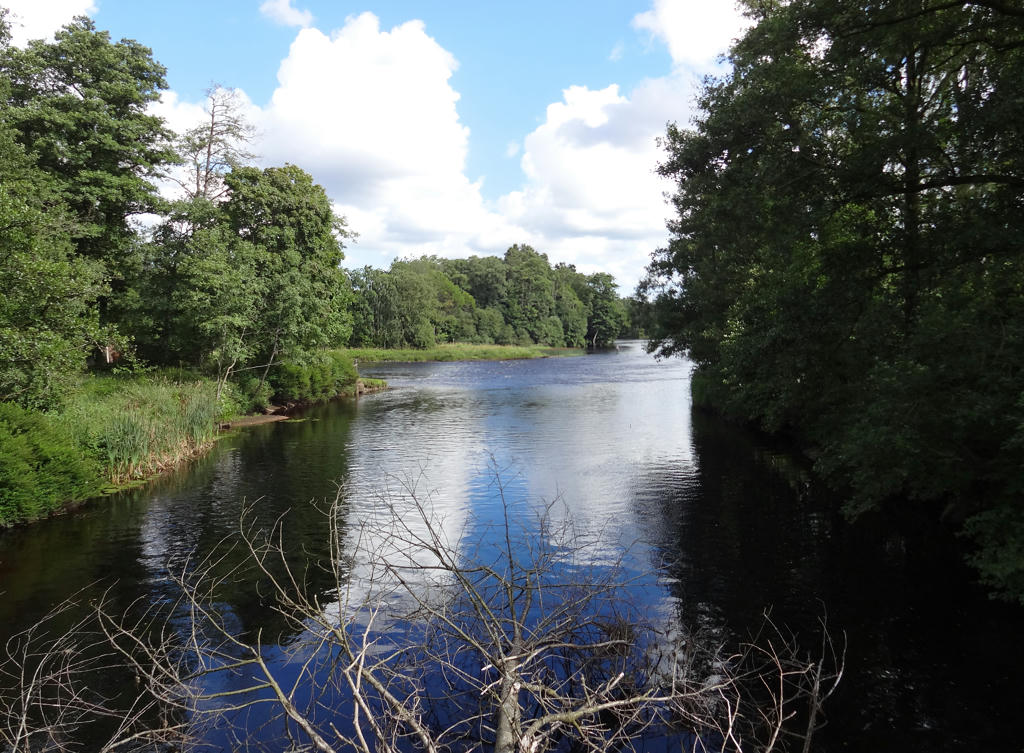
Ätran. Rotated and cropped the photo. Then I also removed the cyan-ish sky using the hue restorer plug-in. Finally I sharpened the forest part in the back using unsharp mask (for some reason that part was unusually blurred and it didn't fit with the rest of the photo).
7.
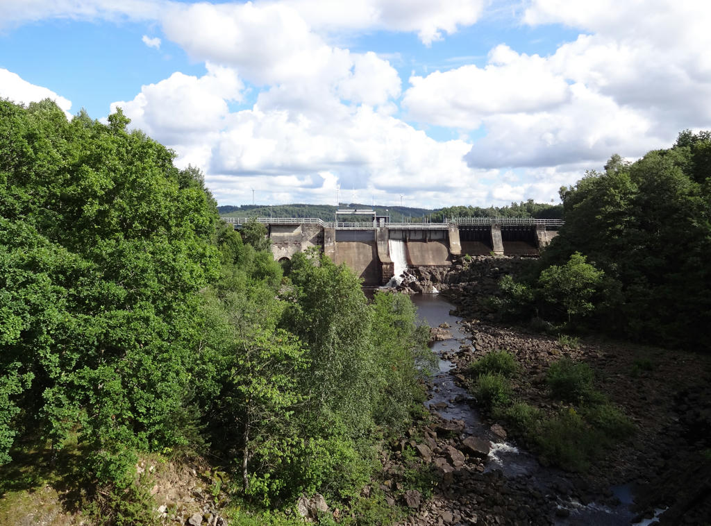
Ätrafors hydro power station. Rotated and cropped the photo. Also used the hue restorer plug-in to remove some cyan-ish parts of the sky.
8.
Ätraforsdammen. Brightened the forest part on the right and the corresponding shadows in the water using the levels tool.
9.
10.
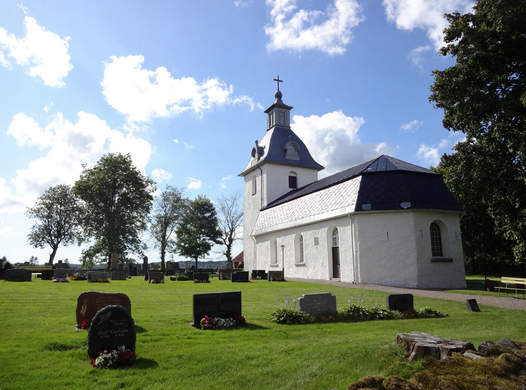
Askome Church. This church is from the 1700s and among other things it has beautiful ceiling paintings.
Rotated and cropped the photo. Then I brightened the non-sky parts slightly using the curves tool.
Rotated and cropped the photo. Then I brightened the non-sky parts slightly using the curves tool.
11.
12.
South of Askome there are six grave stones from the iron age. Two of the grave stones are visible on this photo.
13.
Hede. Increased brightness for the non-sky regions first using the levels tool and then the curves tool. Then I rotated and cropped the photo.
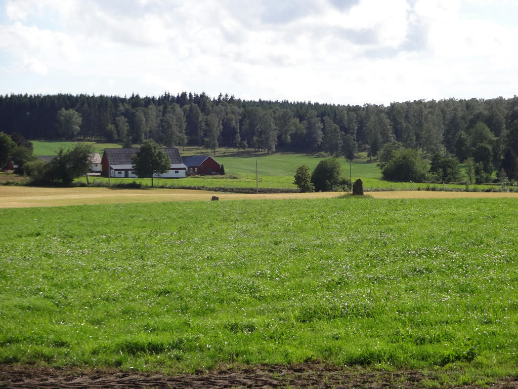
14.
Bjerrome. Increased brightness for the non-sky regions first using the levels tool and then the curves tool. Then I rotated and cropped the photo.
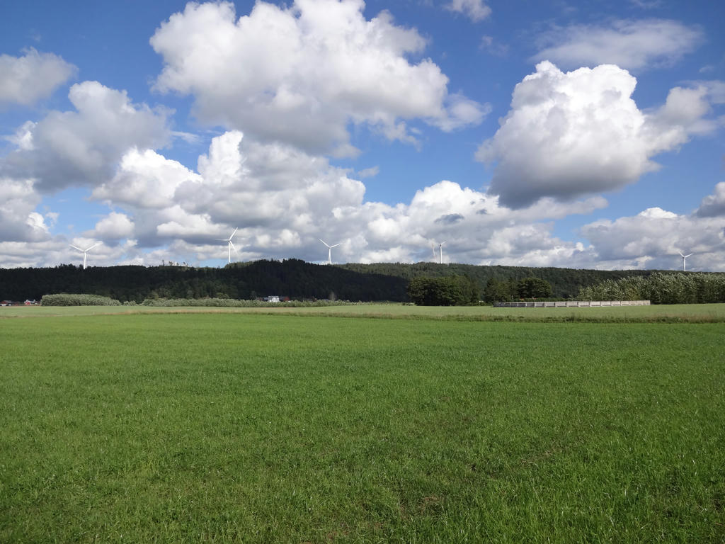
15.
Vessigebro
Inga kommentarer:
Skicka en kommentar