The southern part of Hallandsleden is characterized to a large extent by walking through farmland or forests on gravel roads or asphalt roads. This walk was no exception; most of the walk took place on gravel roads rather than going through trails in the woods. As a summary the walk can be described as a mix of walking through idyllic countryside and walking through forests (mostly on gravel roads). Enjoy the photos!
1.
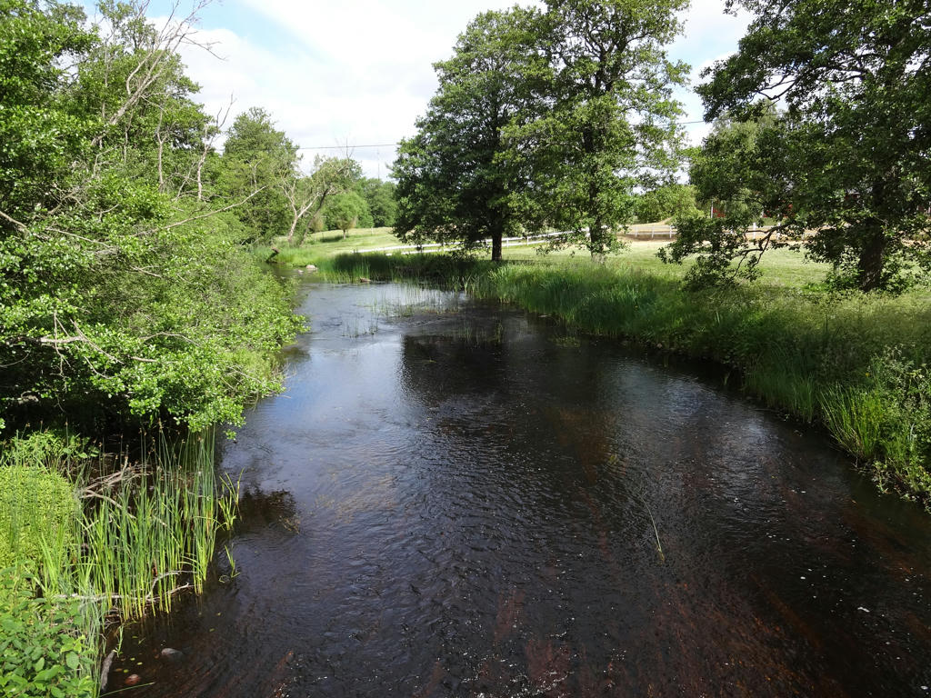
Smedjeån
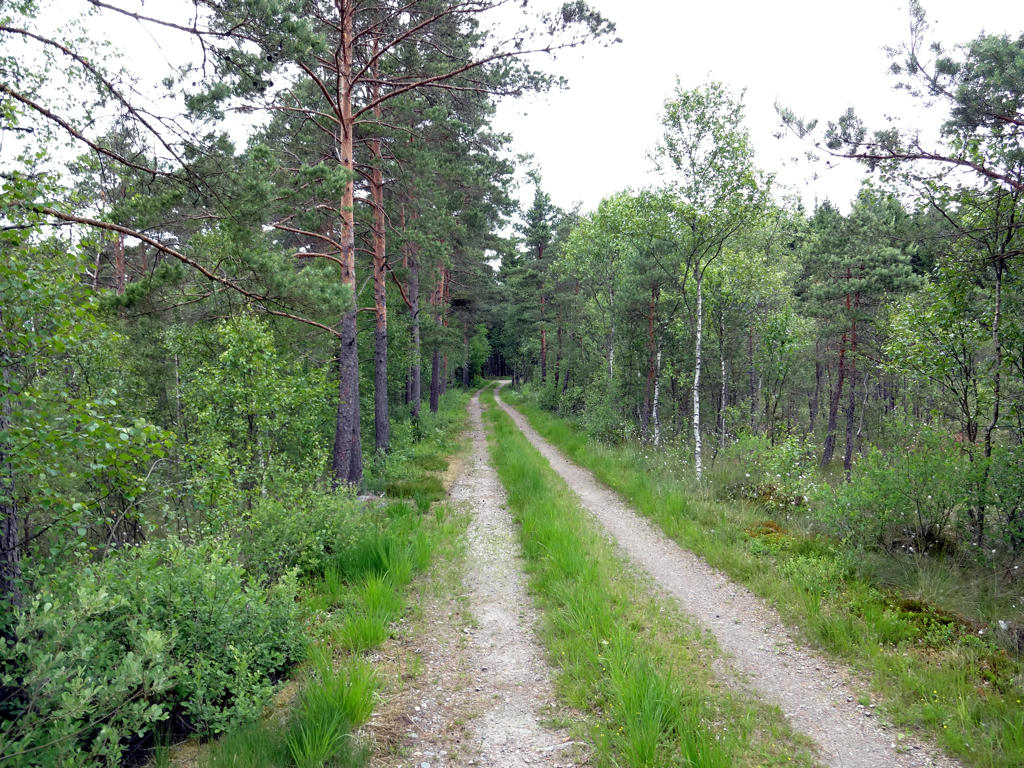
2.
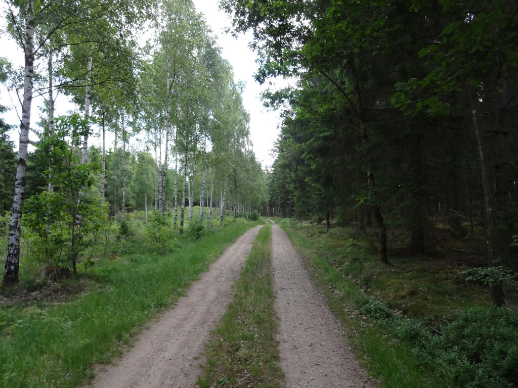
Gravel road shortly before the windbreak at Ekegården.
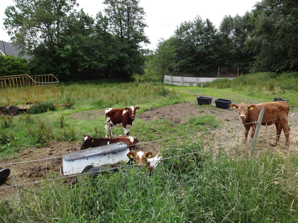
3.
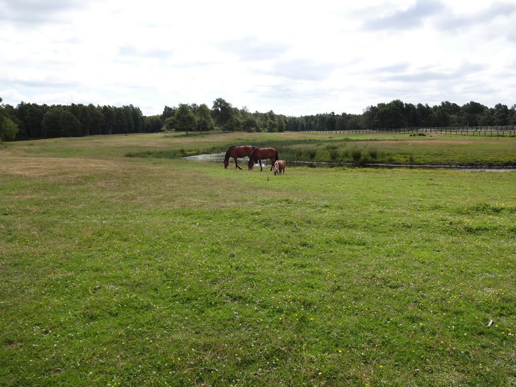
A couple of horses at the riding stable near Flammabygget.
4.
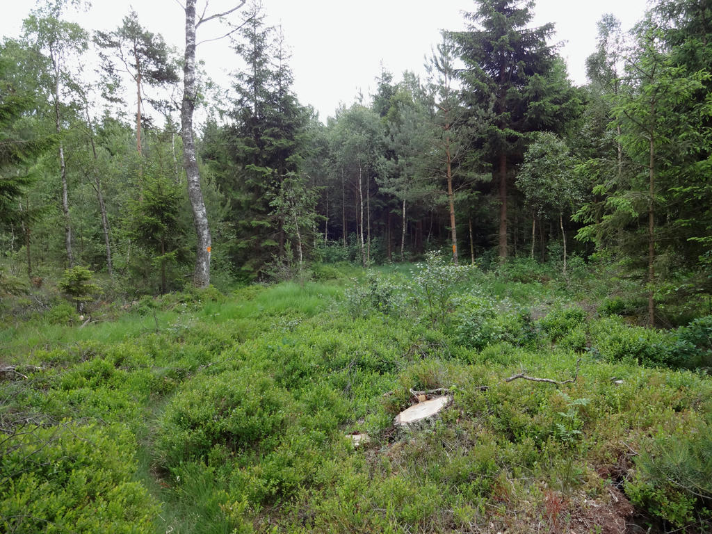
Made this photo a bit darker and slightly increased the contrast.
5.
The photo was way too bright. Normalized the levels histogram and it gave a surprisingly good result.
6.
7.
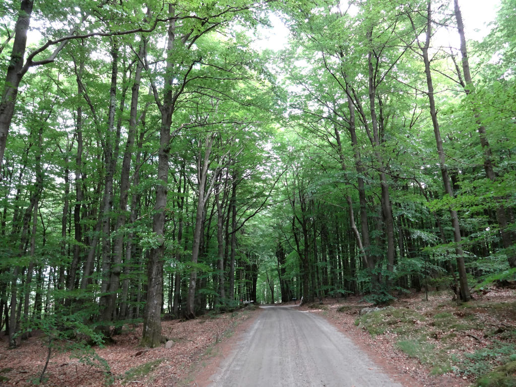
Gravel road shortly after Hult. Improved the contrast slightly since the photo looked gray-ish.
8.
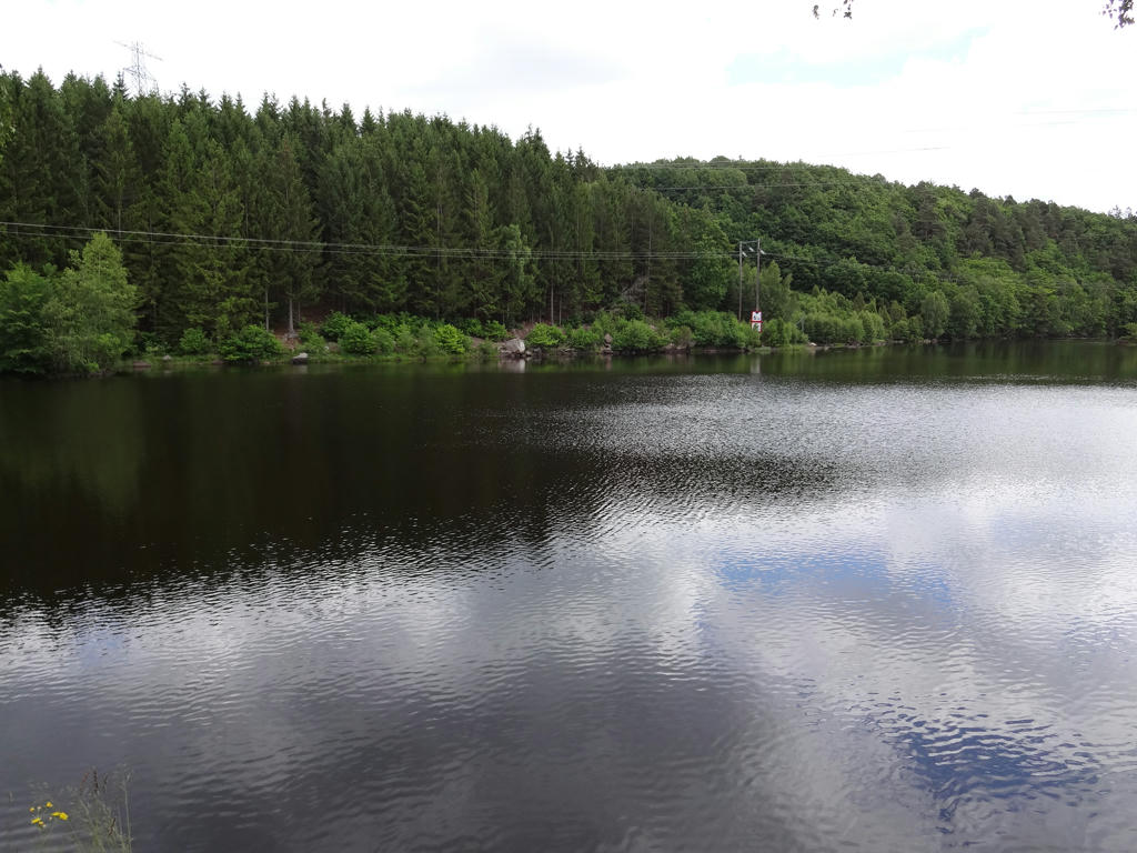
Hjörneredssjön is a popular lake for canoeing. The lake is not a natural formation but rather a dam for the hydro power plant at Skogaby. There are actually submerged houses at the bottom of the lake.
9.
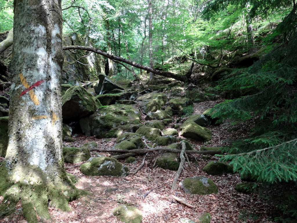
Somewhere around here there is a cave called "Midsommarstugan" (which I didn't find). According to legend a friendly troll "Midsommargubben" lives here and he once helped a farmer whose cow fell into the cave. As a thanks for the rescue, the troll was allowed to milk the cow. Equalized the levels in this photo.
10.
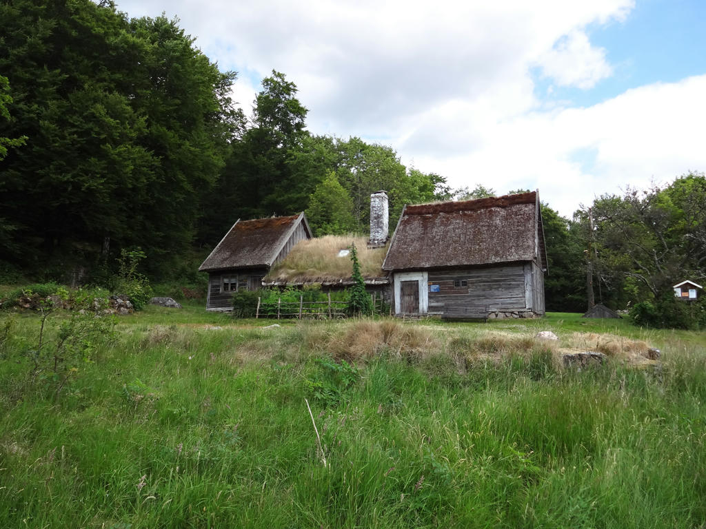
Vippentorpen is a ryggåsstuga (not sure what the English word for it is) with a origin going back to the 1700s. It does not have any real windows. Instead the light comes from the holes in the roof. The cottage is open some days during the summer. I increased the brightness and contrast for the non-sky part of the image.
11.
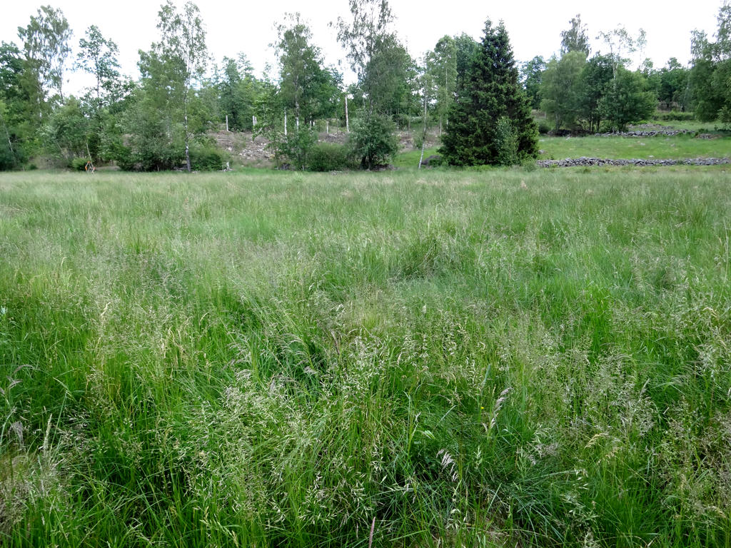
Field with high grass after Timmershult. Increased the contrast for the image (and the brightness very slightly) as it looked a bit grayish.
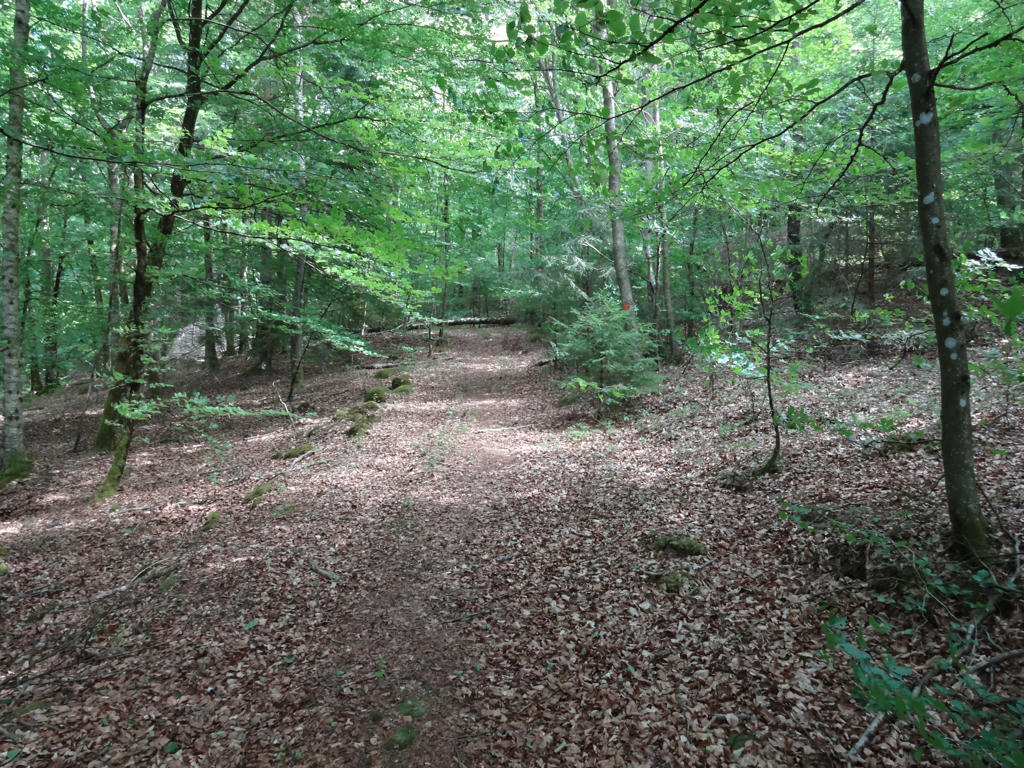
12.
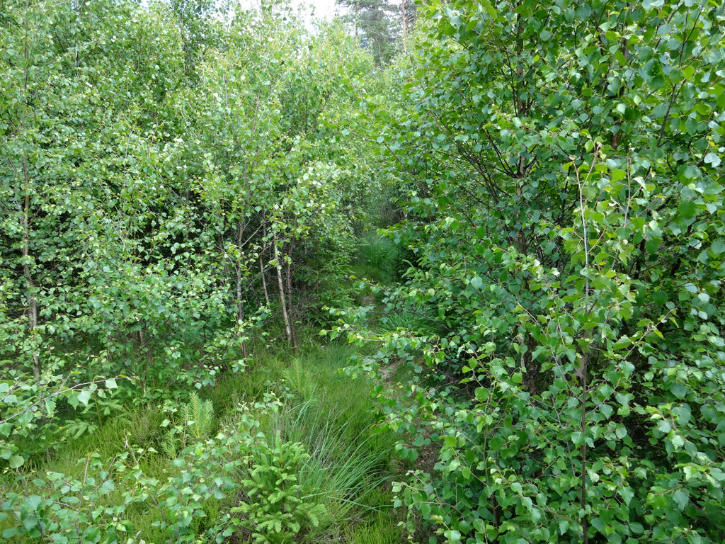
Between Timmershult and Västralt parts of the trail are overgrown. From my experience in general, certain parts of Hallandsleden are in a big need for maintenance. Slightly increased the contrast and decreased the brightness.
13.
Not far from Västralt.
14.
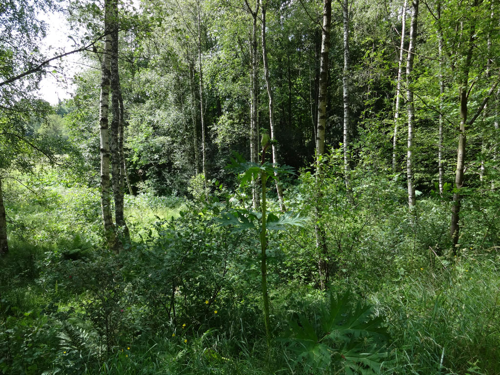
A giant hogweed by the gravel road near Västralt. I was pretty surprised to see giant hogweed in the woods; it's more common that giant hogweed are found on fields. Either way it's best to avoid going near giant hogweeds as they can give you (severe) burn injuries.
15.
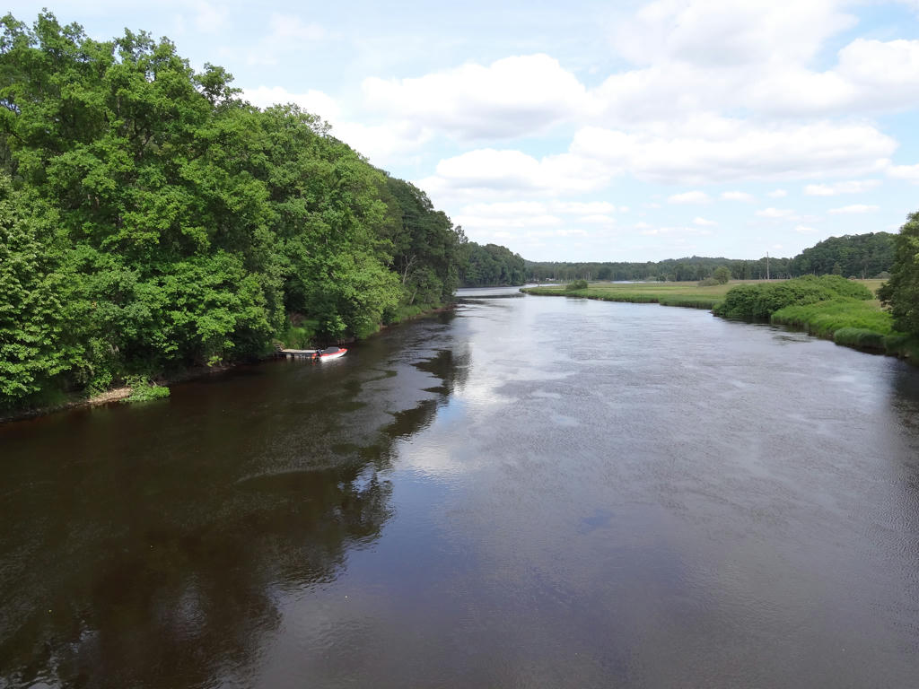
Lagan (near Knäred)
Inga kommentarer:
Skicka en kommentar