1.
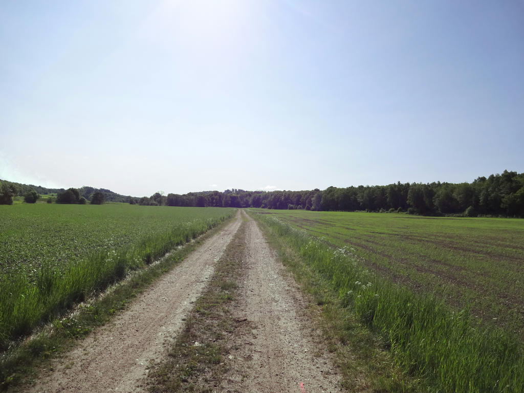
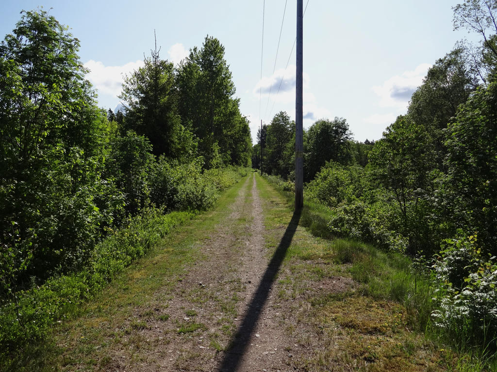
In the beginning of this walk the terrain was quite similar to the terrain during the previous walk. Just like last time the trail follows the old railway embankment to the railway between Varberg and Kinnared. It was inaugurated in 1911 and was discontinued 50 years later. The photo was brightened by using the levels and curves (primarily adjusting gamma) tools in GIMP.
2.
4.
The non-sky part of the photo was a bit dark so I increased the brightness for that part.
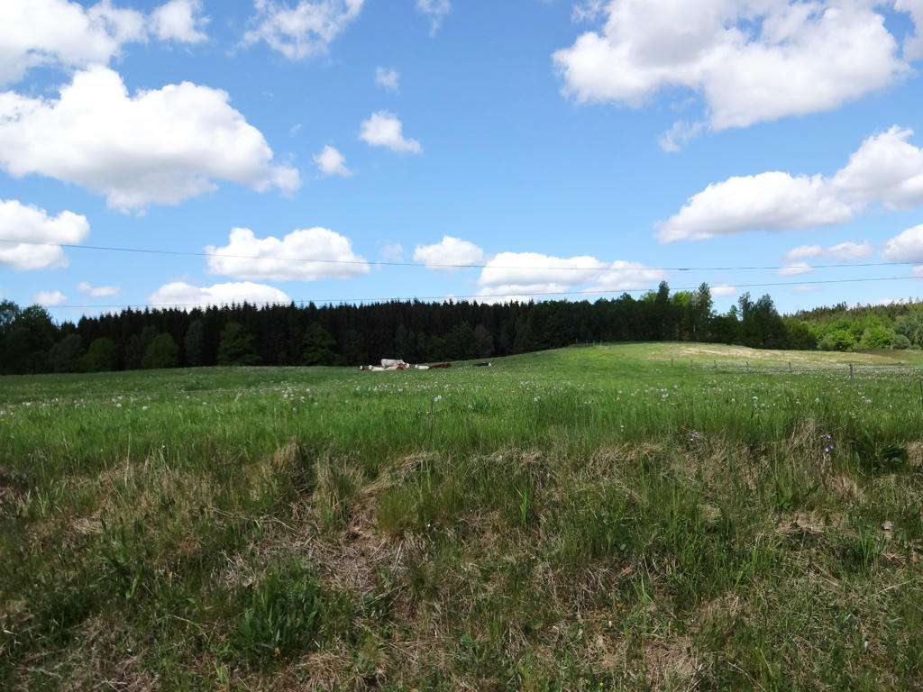
5.
Adjusted the brightness and contrast of the sky (since it was too bright).
6.
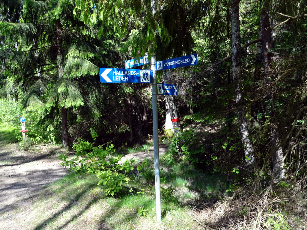
At this place near Åkulla, Hallandsleden is split into four different directions. The northern part goes towards Veddige, Fjärås and Lindome. It is also where the Hallandsleden part of E1 continues. To the south you can go towards Ästad, Vessigebro, Asige and Oskarström. We've walked East, i.e. in the direction of Ullared, Ätran, Brännögård and Rydöbruk. The East and South parts join at Gyltige, which is not far from Simlångsdalen. The photo had a green cast (looked too green) and to remove it I equalized the green channel and slightly adjusted things further with the Levels tool in GIMP.
7.
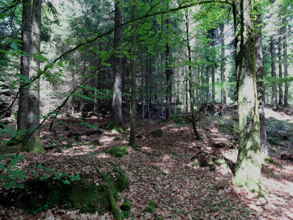
8.
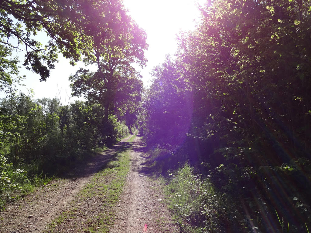
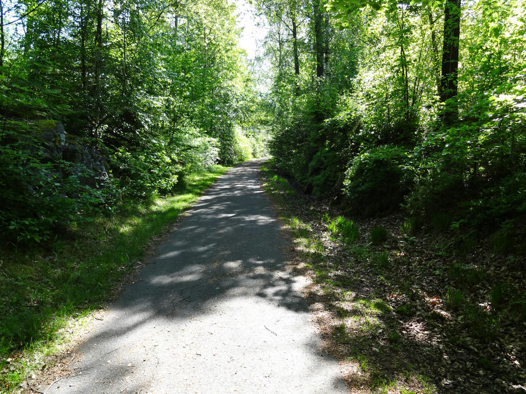
As I've mentioned the terrain becomes more varied after Åkulla, specifically there's more forest, although for the most part we walked on gravel roads rather than on trails in woods. I made the bright regions of the photo slightly darker and the dark regions slightly brighter.
9.
The photo initially had a green cast (looked too green) and also had spots that were too bright. To reduce these errors I equalized the green channel, made the bright spots darker and made the image slightly darker overall.
10.
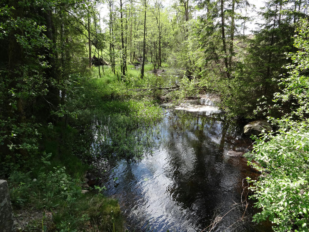
Svartån
11.
The photo was a bit dark and I improved it by adjusting brightness, contrast and gamma for certain parts and then for the image overall.
12.
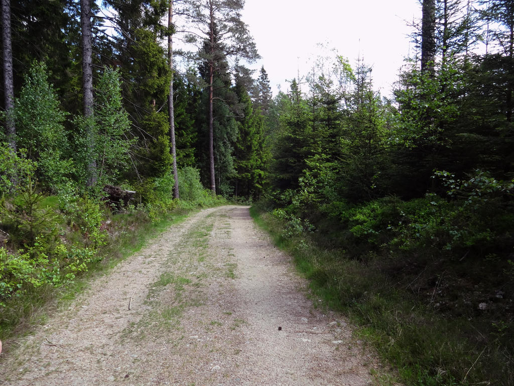
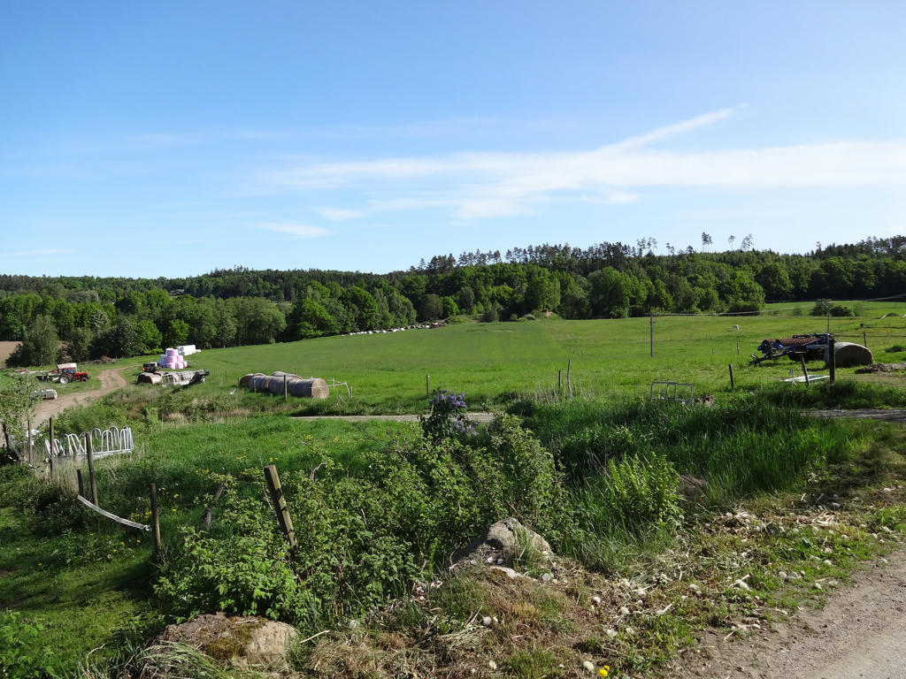
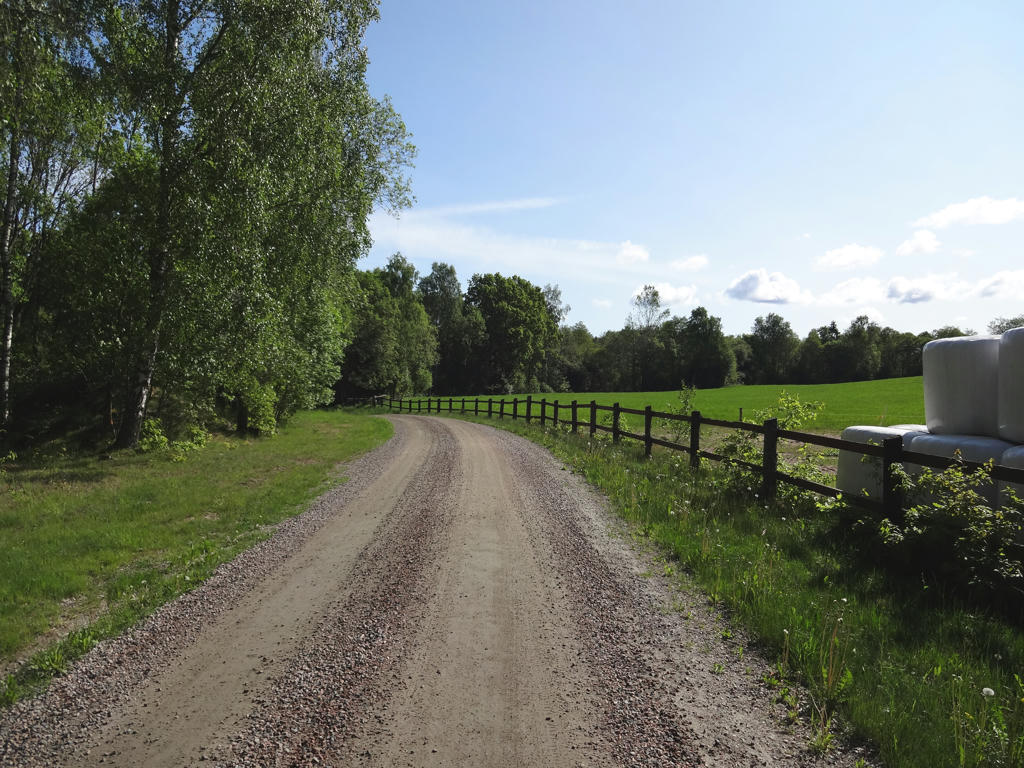
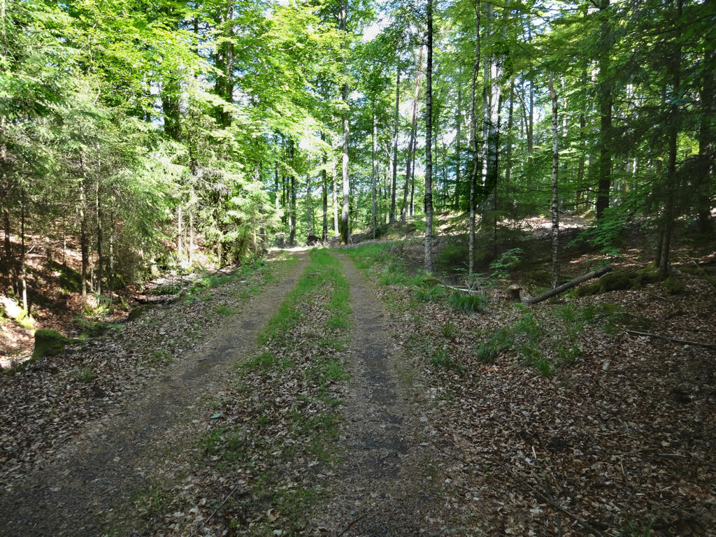
Part of the 2.2km gravel road from Kålsberg to Kogstorp. The photo was initially too bright and too green and therefore I adjusted these things using Curves tool for the levels and green channels.
13.
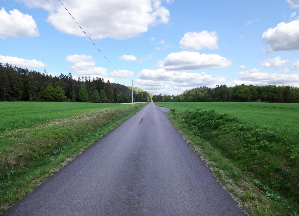
The last 3km from Kogstorp to Ullared consisted of walking on asphalt. The non-sky part of the picture was much too dark and also tilted. I therefore made the non-sky part brighter and also rotated and cropped the image.
14.
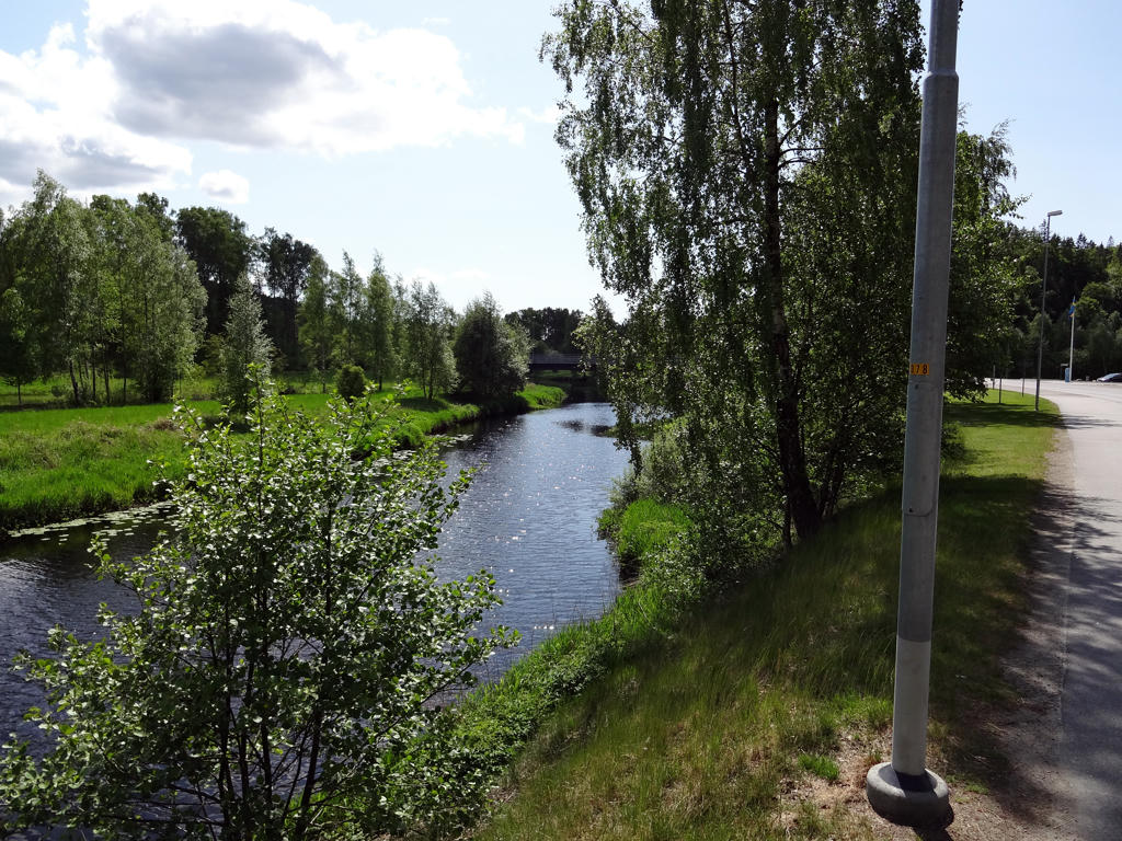
Högvadsån near Ullared. Equalized the green channel to remove the green cast.
Inga kommentarer:
Skicka en kommentar